Kern River Canyon Recreation Maps
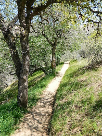
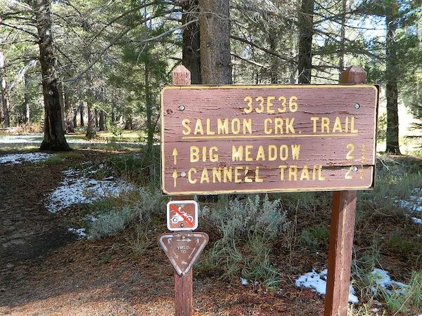
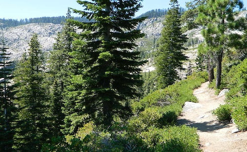
Lower Kern River Trail
- backpacking
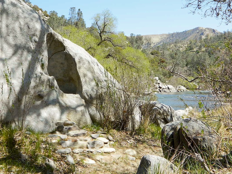
- boulders
- camping
- cedar groves
- fishing
- fire lookout towers
- hiking
- horseback riding
- hot springs
- hunting
- mountain meadows
- mountain biking
- off-roading
- rock climbing
- sequoia groves
- wildflowers
Maps of the Kern River Canyon & vicinity:
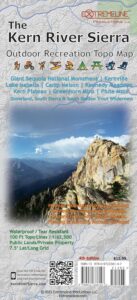
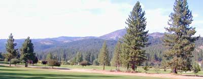
Southern Sierra Map
Sequoia National Forest USDA Map
Dome Land Wilderness Map USDA
Golden Trout South Sierra Map USDA
Golden Trout Wilderness Map Tom Harrison
Jawbone Canyon, Kelso Valley OHV Map
Pacific Crest Trail Topo Map #3
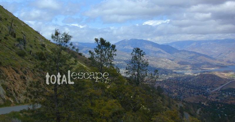
Lake Isabella, from Caliente Bodfish Road
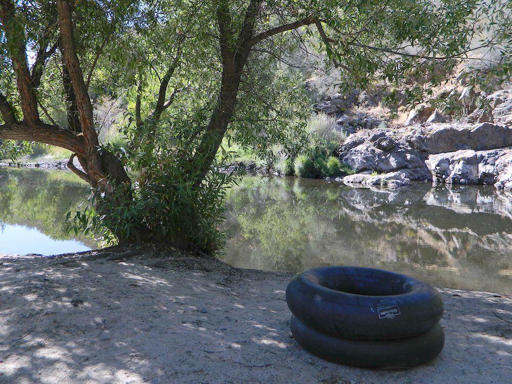
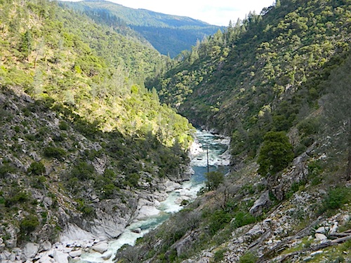
Kern River
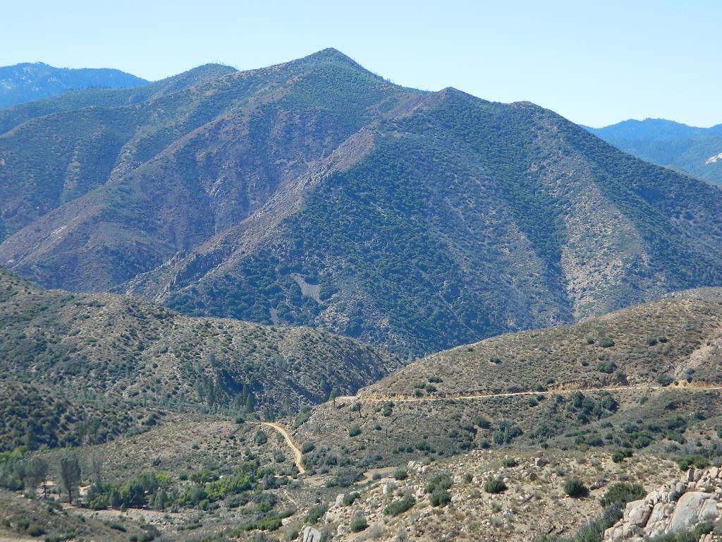
Kern Plateau
Shermans Pass Road #22S05
Sierra Back Road Maps
![]()
Kern River Hot Springs

digital maps for download
BLM Topo Map – Lake Isabella, California
Tom Harrison Topo Map – Golden Trout Wilderness
Giant Sequoia Forest Map Topo
Pacific Crest Trail – Section G (Map Bundle)
USGS Topo Map – Alta Sierra, Shirley Mdws (free)
USGS Topo Map – Cannel Peak, Creek, Meadows (free)
USGS Topo Map – Johnsondale, Sequoia NF (free)
Kern River (north) OHV Guide Map
Kern River (south) OHV Guide Map
CTUC Inyo & Sequoia (south) OHV Map
USFS Winter Recreation Map – Sequoia NF (free)
USFS Winter Recreation Map – Western Divide, Sequoia (free)
USFS Map Sequoia MVUM – Kern River North (free)
Sequoia MVUM – Western Divide Map (free)
Inyo MVUM – Monache Mdws, South Fork Kern River (free)
Inyo MVUM – Southern Sierra OHV Trails (free)
California Deer Hunting Zone D8 – Kern Map
California Deer Hunting Zone X10 – South Sierra Map
nearby towns:
- Alta Sierra
- Bakersfield
- Caliente
- California Hot Springs
- Camp Nelson
- Fairview
- Johnsondale
- Kennedy Meadows
- Kernville
- Keyesville
- Lake Isabella
- Ponderosa
- Wofford Heights
Kern back road destinations:
- Big Meadow Sequoia
- Breckenridge Road #28S06
- Chimney Peak Backcountry Byway
- Giant Sequoia Rd #21S94
- Kern Flats Camping Free
- Kern River Hot Springs
- Packsaddle Creek Rd #23S64
- Roads End
- Sherman Pass Road #22S05
Rincon Camp @ Sherman Pass Road

 East of
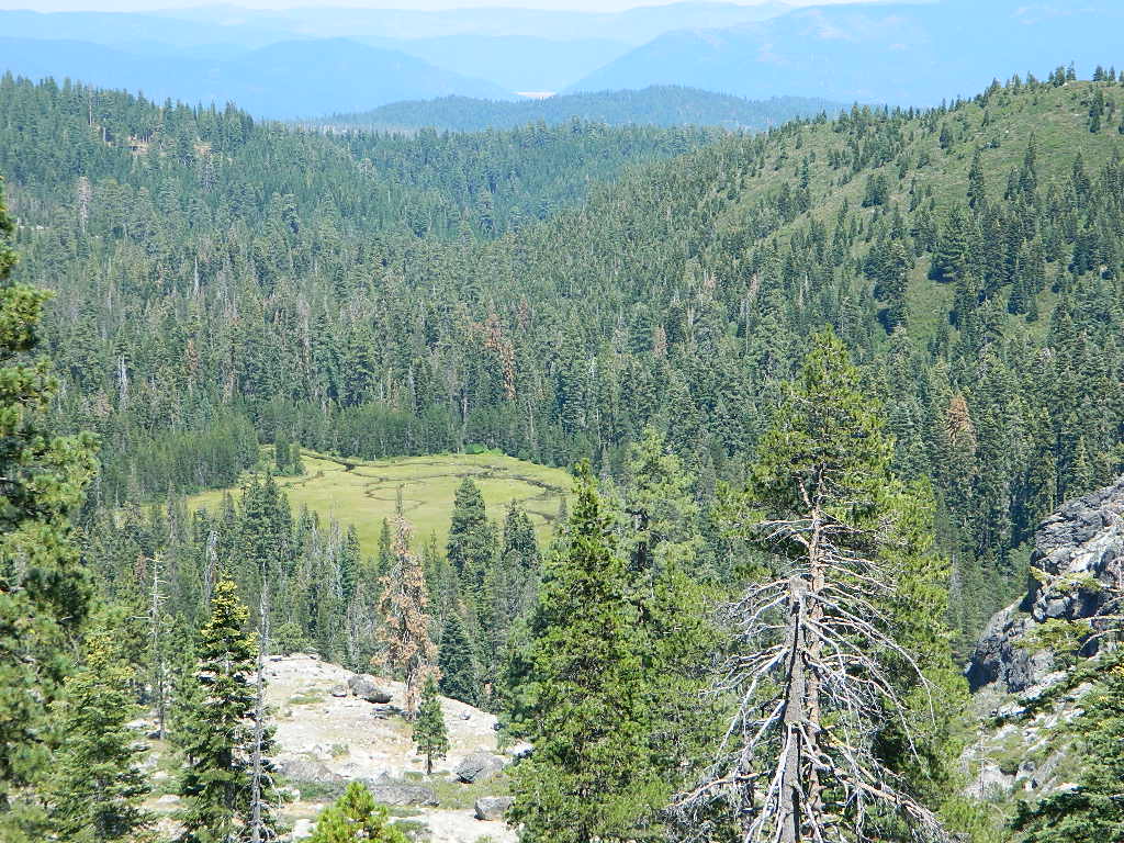
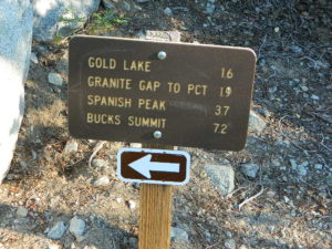
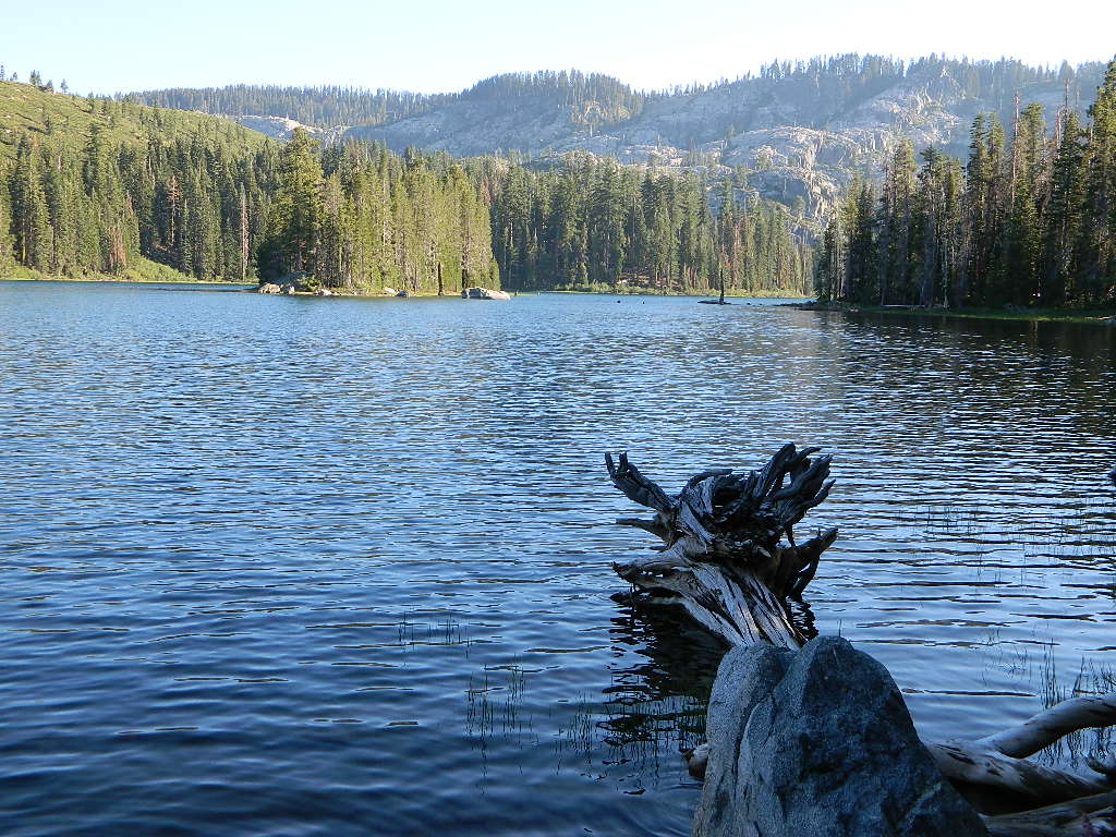

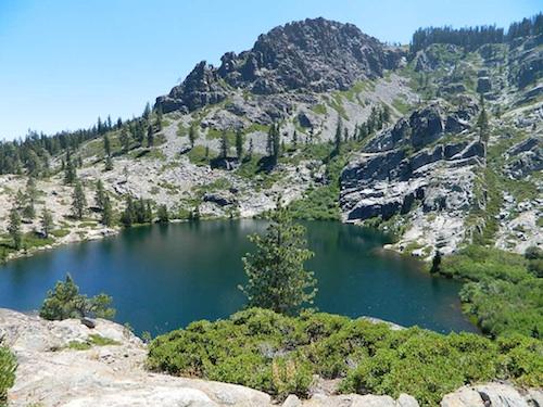
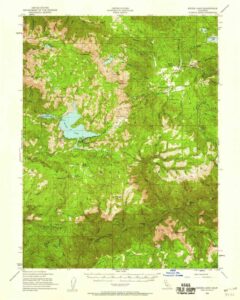
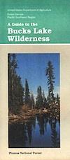
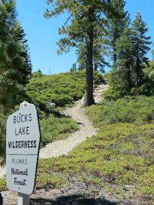
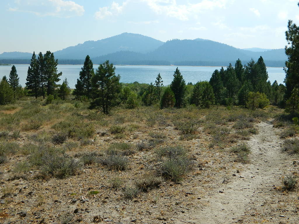
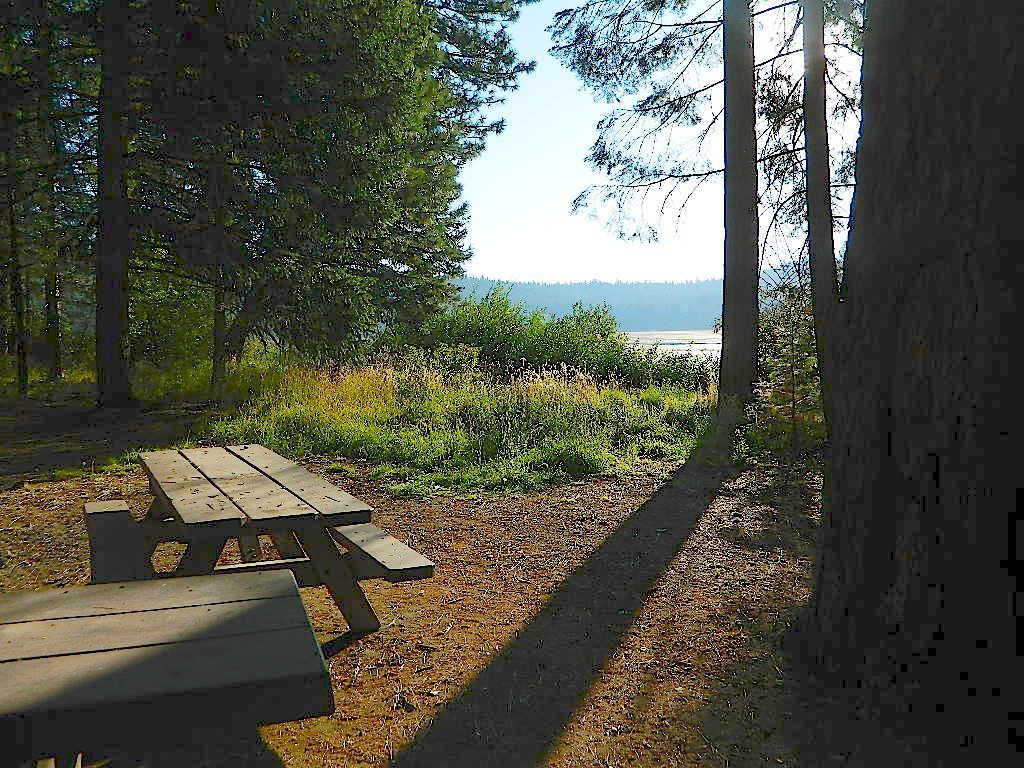
 around Plumas National Forest:
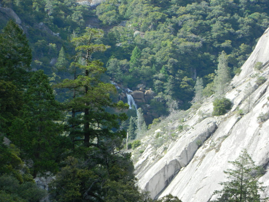
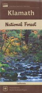
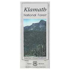
 Northern California forest situated around the Klamath River
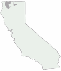
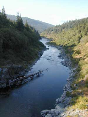
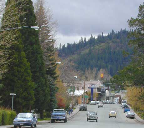
 Butte Valley Wildlife Area, Somes Bar, Siskiyou Mountains, Oregon border.