San Diego Backcountry Map

San Diego Deserts Map

San Diego Desert Map

TH SD topo map

OLDER EDITION

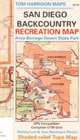
Topographic Maps by Tom Harrison: San Diego Deserts, Anza Borrego Desert. This is the #1 top selling map for the San Diego deserts!

San Diego Backcountry Recreation Map covers the entire Anza Borrego Desert State Park, the largest State Park in California & some portions of Cleveland National Forest; San Diego County Road S-2, S-22, Interstate 8, Highway 78 & Highway 94 to Tecate Mexico.

Areas surrounding Borrego Springs, Anza Borrego Park map, Julian & Warner Springs. PCT access (Pacific Crest Trail) plus Table Mountain, Sheep Canyon, OHV Deserts Ocotillo Wells SVRA, McCain Valley Camping, Carrizo Gorge Trestle Hike, Jacumba Hot Springs, Tierra del Sol 4×4 Trails, San Diego Lake Morena, Barrett Lake, Campo CA Potrero Regional Park, Agua Caliente Hot Springs, Vallecito, Carrizo Goat Trestle & Canyon sin Nombre Badlands.

Recreation Map by Tom Harrison. Durable, waterproof plastic map; Folded. Map Scale: 125K; ISBN# 9781877689543
San Diego Desert Map

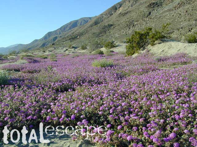
Borrego Desert is known best for Spring wildflowers (FEB-APRIL)

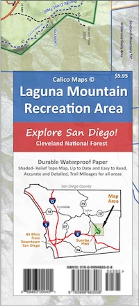
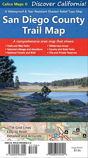
Two New San Diego Maps by Calico
San Diego County Trail Map

San Diego County Trail Map

Mount Laguna Map

Mount Laguna Trail Map

see also –
Cleveland National Forest Map 
Cleveland Forest Topo Atlas
Wilderness Press Map of Anza Borrego Desert

camp map

more exploring Anza Borrego:

Anza 4×4 Trails
Agua Caliente Hot Springs
Canon Sin Nombre Slot Canyons
Carrizo Gorge Goat Trestle
Culp Valley Camping
Great Overland Stagecoach Route of 1849
Mason Valley Truck Trail
Old Kane Springs Road
Split Mountain
Vallecito

Split Mountain Borrego

Split Mountain, Anza Borrego State Park, Southern California

4x4 maps

hiking

San Diego Camping, Anza Borrego Desert:

hikers map

nearby towns:

Hiking Maps Anza

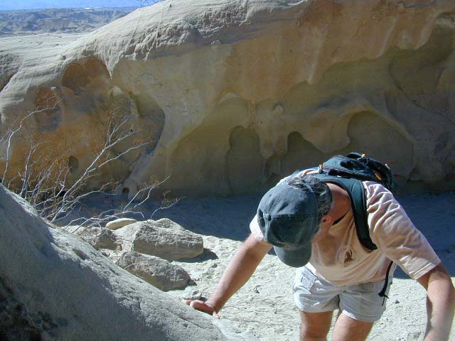
Exploring wind caves @ Fish Creek, in Anza Borrego Desert

wildflower

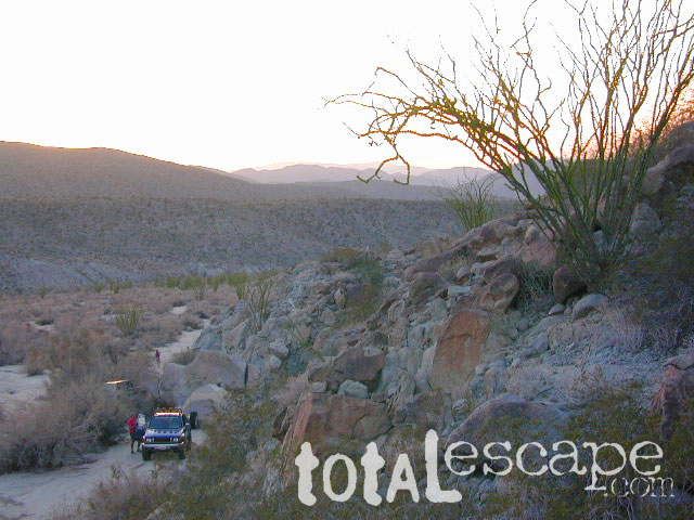
campsunset

The whole canyon, all to yourself
 

Jawbone Canyon OHV Map

Jawbone Canyon Map
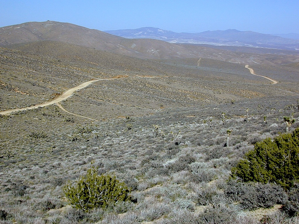
Jawbone Canyon is North Mojave Desert,
US Hwy 395 @ Hwy 14

Jawbone Canyon Map

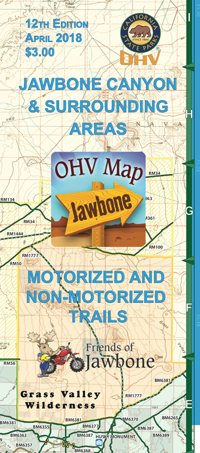
12th edition. jawbone.org

Jawbone Canyon Map

New features on map include – restroom and kiosk locations, updated GPS coordinates, updated trail routes and revised points of interest.

Off Road Map: Jawbone Canyon / Kelso Valley / Randsburg Ghost Town

Jawbone Canyon OHV North Mojave Desert Map; Topo features, Waterways, Trails & Roads. Motorized & no-motorized trails. Eastern Kern County High Desert. Spangler Hills OHV, Trona Pinnacles National Monument, Randsburg OHV, Red Mountain, Johannesburg, Red Rock Canyon State Park, Last Chance Canyon, El Paso Mountain Wilderness, Desert Tortoise Preserve, Kiavah Wilderness, Dove Springs OHV, Bright Star Wilderness, Tehachapi Loop, Walker Basin, California City, BLM Camping Mojave California Desert Trails, Southern Sierra OHV.  Map by Friends of Jawbone w/ California Trail Users Coalition

SoCal Off-Road, OHV Parks, Dove Springs, Jawbone Canyon, Dirt Bike Maps, offroad, North Mojave Desert, Trona Road

4x4 maps

camp map

trail map

Jawbone Canyon Map

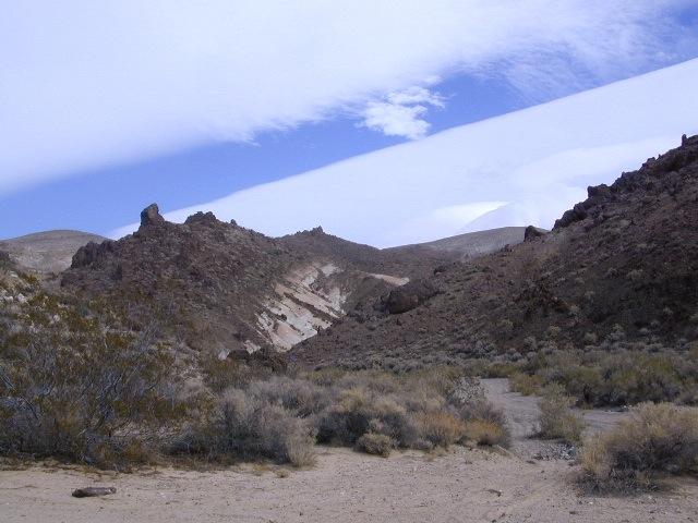
Camping Last Chance Canyon

Jawbone Canyon Map

camp maps

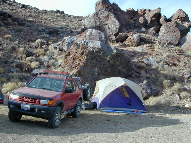
California Mojave Desert OHV Camping:

Do the off-roader RVs really roast a turkey in the ground at Jawbone Canyon?

Death Valley National Park is a land to be visited, during winter months (NOV-APRIL) most recent fatalities have all been in summer months

Randsburg – Living Ghost Town, off US Highway 395

Jawbone Canyon Map

Jawbone Canyon leads up to Kelso Valley & Bright Star Wilderness, eventually up to Lake Isabella near Kern River, Southern Sierra California

see also –

Inyo National Forest Map
Inyo Forest Topo Atlas
Sequoia National Forest Map
Sequoia Forest Atlas
Southern Sierra Map

Utah Maps

views of UTAH: topo

camping, hiking, mountain biking, off roading, fishing

the historic burr trail

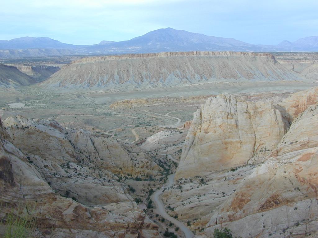
Historic Burr Trail, south of Capital Reef NP

HIGH DESERT: Southern Utah is a magical place to explore. Red rock and National Parks, State Parks – too numerous to name. Outdoor recreation around every corner – from river rafting to rugged canyon hikes, wildlife watching to wheeling. Dispersed camping, very abundant. Dirt back roads, by the many miles. Hiking and biking, all over!

The east-west Interstate 70 splits the state, so most parks are located south of the freeway. Green River is a highway town, along I-70 and the mecca, Moab, is south of the interstate.

hiker

MOAB, UT (southeast Utah) – is a hot bed of recreation activities, tourism, hotels, shopping, plus the 2 National Parks.

TORREY, UT (south central Utah) – hip mountain village, next to Fish Lakes National Forest and Capital Reef National Park. Restaurants, motels, RV Campground with showers, and a grocery stop.

SPRINGDALE, UT (southwest Utah) – the small river town that has merged with neighboring Zion National Park. Tourists everywhere.

Seek the small back roads to get you up and around the outskirts of Zion – very scenic drives. Ghost towns, pinyon & juniper forests, hidden canyons, watrfalls, kolobs and buttes. North of Zion NP, Navajo Lake and Cedar Breaks National Park @ 8000′ elevation – can have snow more than half the year, so plan according.

UTAH TIP = Beware: Thunderstorms and heavy rains are part of the package here in this desert state. Extreme flash floods possible, know the weather forecast and the warnings. Stay out of slot canyons during rainy season. Watch out for wet, muddy, red dirt roads. You’ll get stuck, even in 4WD.

Small farming towns are scattered throughout the National Park areas, some more geared for travelers than others. Many National Forests and BLM areas to camp (for free). Usually just a few miles outside the National Park boundaries. The further you get off pavement, the more seclusion you can find. Find the nearest ranger station and ask some questions – if needbe.

utahremote

utah = remote

Utah Park Maps by NatGeo

National Geographic makes these colorful, durable, waterproof maps for all the Utah Parks.

Utah Map National Geographic

Utah Map National Geographic

Utah National Parks Map Pack Bundle

Utah National Parks Map Pack Bundle

Angeles Landing

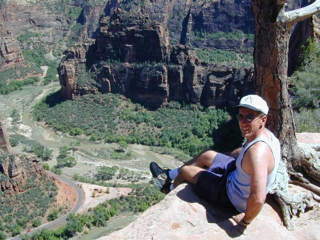
Atop Angel’s Landing, Zion NP

Zion Maps

Bryce Maps

Moab Maps

Moab Map Pack

Moab Map Pack

Utah Maps

cool canyon hikes

Guide to Moab, UT Backroads & 4-Wheel-Drive Trails

Guide to Moab, UT Backroads & 4-Wheel-Drive Trails


Utah Maps

RED DIRT TRAILS

Utah Maps

Utah Recreation Map Benchmark

Utah Recreation Map Benchmark

Topographic Recreational Map of Utah

Topographic Recreational Map of Utah

AAA Indian Country Map

AAA Indian Country Map

Utah Maps

Utah Maps

Schaffer Trail, Canyonlands NP

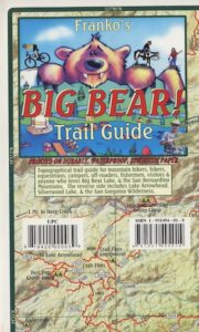
Big Bear Trail Map

Big Bear Trail Map

Big Bear Trail Guide
by Franko Maps

Big Bear Trail Map

A colorful and detailed map of Big Bear Lake in California and the surrounding area. The map shows lake water depth and contours, streets, roads, trails, shaded relief, marinas, fuel docks, public launch ramps, beaches and camp sites. Fish found in the lake are illustrated and described. Side 2 has extensive info on regulations, safety, permits, waterway markers, recreational facilities, campgrounds and picnic areas.

Printed on durable, waterproof material. 12″ x 18″, folded 4.5″ x 6″ ISBN# 9781601901354

  • backpackBig Bear Trail Map
  • camp
  • climb
  • hike
  • lake recreation
  • mountain bike
Big Bear Trail Map

OLD VERSION

see also – Big Bear Trail Map

San Bernardino National Forest Map
San Bernardino Forest Atlas
San Bernardino Mountains
San Gorgonio Wilderness Trails Maps

Franko’s Fish Card for Big Bear Lake

Big Bear Lake California Map & Fish Guide

Big Bear Lake California Map & Fish Guide

holcombvalley

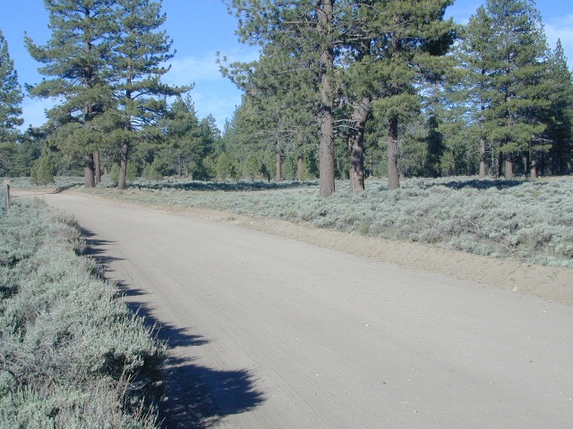
Holcomb Valley, Big Bear, California


Big Bear Trail Map

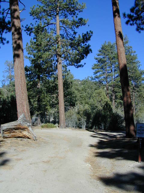
John Bull 4×4 Trailhead