Shasta Trinity Forest Atlas

Shasta Atlas USDA

USDA Shasta-Trinity
National Forest Topo Atlas

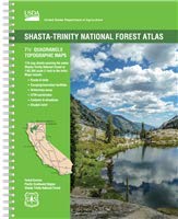
Shasta Trinity Forest AtlasThe SHASTA-TRINITY FOREST atlas, is a spiral bound book – a collection of all the quads. (7½ minute topographical maps, of all of the Shasta and Trinity back country) This book map has detailed topo, contour  lines, mountain peaks, streams, lakes, hiking trails and all back roads. Perfect for all kinds of recreational needs.

Since this area of Northern California covers two National Forests- both Shasta National Forest and Trinity National Forest, the atlas book is thicker than the average atlas. Topographic maps for miles and miles of forest in between Mount Shasta and Redding, and from Weaverville on the west, to Burney on the east side.

Shasta Trinity Forest Atlas

7½ Minute Quadrangle Topographic Maps
119 Map Sheets covering the entire Shasta-Trinity National Forest
Map Scale: 1″ = 1 mile (1:63,360)
Topo Lines – Contour Interval 100 Feet
Folded Dimensions: (L” × W” × D”) 11 × 8.5 × 0.25
Unfolded Dimensions: (L” × W”) 17 × 11National Forest Maps
Spiralbound

Shasta-Trinity National Forest
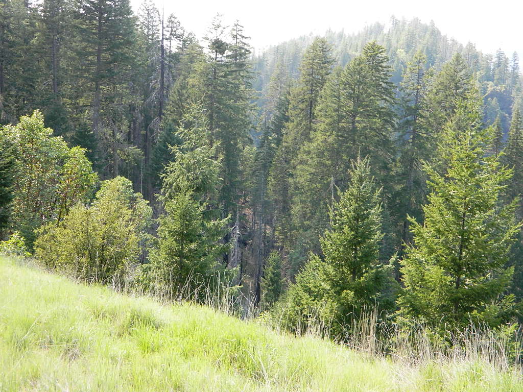
trinity lush

areas covered include:

Lake Shasta
Mount Shasta
McCloud River
Trinity River
Trinity Alps
Trinity Lake (Clair Engle)
Lewiston Lake
Weaverville Basin
Whiskeytown Reservoir
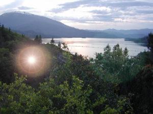
whiskeytown lake

Whiskeytown Lake

Iron Canyon Reservoir
Castle Crags State Park
Yolla Bolly Peaks

Shasta Trinity Forest Atlas

Shasta Trinity Forest Atlas

Shasta Trinity Forest Atlas

turtle and goose

turtle and goose

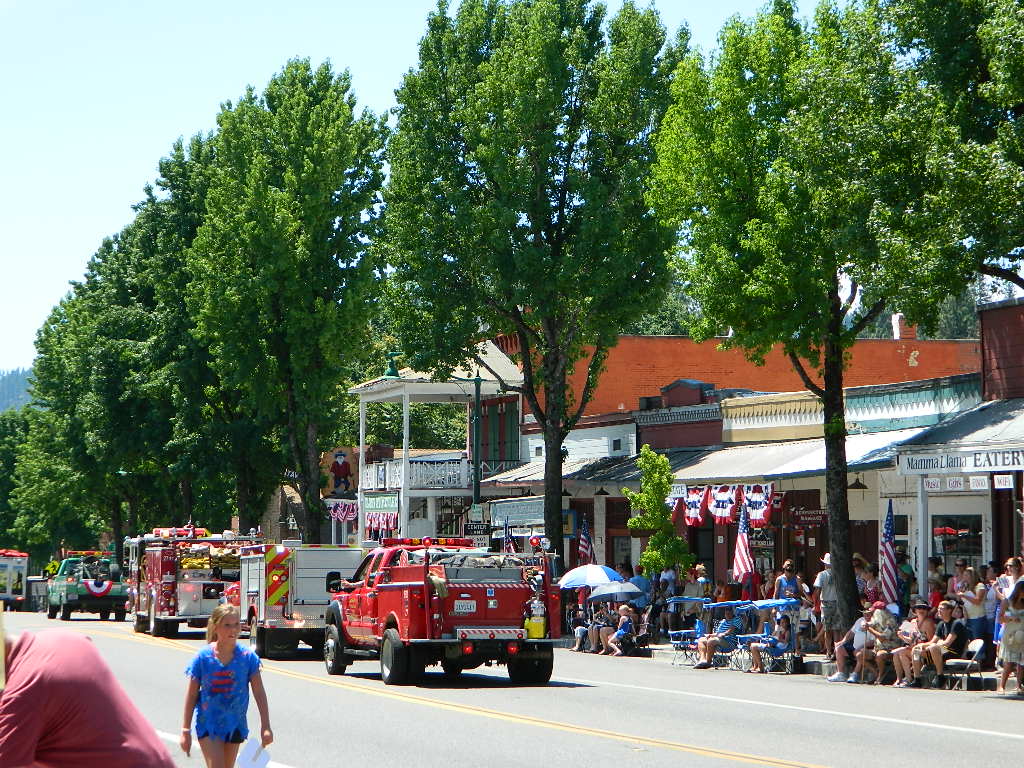
Parade Weaverville

Summer Parade in Weaverville, California

see also –

Shasta-Trinity National Forest Map
Mount Shasta Wilderness Trail Map
Castle Crags Wilderness Map
Trinity Alps Wilderness Map 
Shasta Books

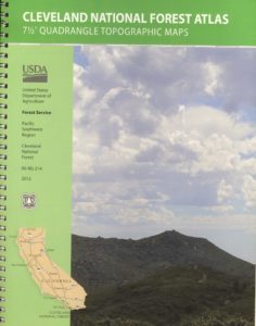
Cleveland Forest Topo Atlas

Cleveland Forest Atlas

Cleveland National Forest Atlas Topo

camp mapSouthern California Forest Map / San Diego Mountains Topo

Cleveland National Forest

San Diego Mountains / Cleveland National Forest Map / Cleveland Forest Map

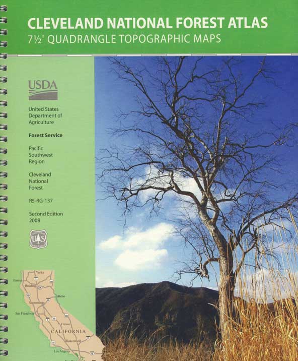
Cleveland Forest AtlasCleveland Forest Atlas is a spiral bound book – a collection of all the quads. (7.5 minute topographical maps, of all of Cleveland National Forest; aka. San Diego backcountry) This book map has detailed topo lines, mountain peaks, streams, lakes, hiking trails & back roads. Perfect for all kinds of recreational needs. USDA
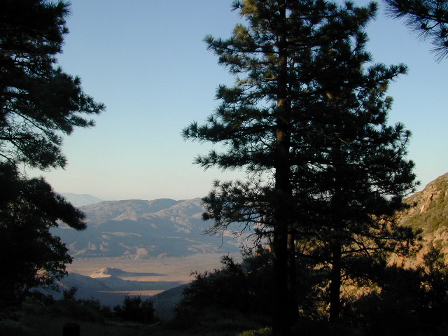
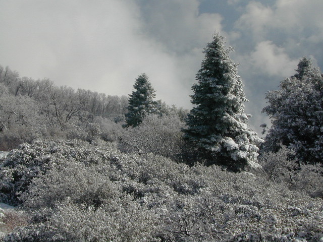
Cleveland Forest Atlas

Views over Anza Borrego Desert


Cleveland Forest Atlas

Snow at Palomar Mountain

Cleveland Forest Atlas

Cleveland National Forest QUADS:
from south to north –
Cleveland Forest Atlas

see also –

Cleveland National Forest Map
San Diego Backcountry Map
Anza Borrego Desert Map
Rancho Cuyamaca Map
Pine Creek Wilderness Map

Cleveland Forest Atlas

first edition

Cleveland Forest Atlas

a previous atlas

nearby towns –

Cleveland Forest Atlas

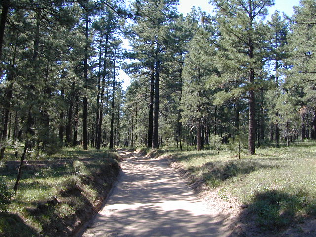
Morris Ranch Road, San Diego County Mountains

Zion National Park Map

Zion National Park Map

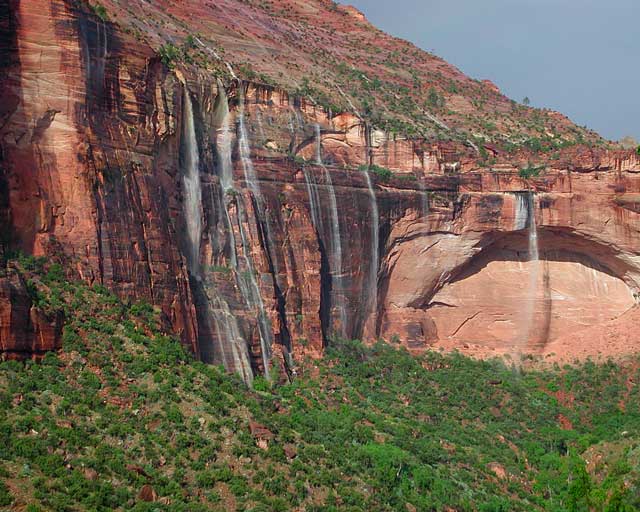
Waterfalls appear after a big sudden thunderstorm.

National Geographic Trails Illustrated Map #214
Zion Canyon, Virgin River, Zion NP

Zion National Park, UT – Zion Narrows, Kolob Canyons, La Verkin Creek Trail, Hop Valley Trail, Wildcat Canyon, West Rim Trail, Floor of the Valley Road, East Rim Trail, Telephone Canyon, and the Virgin River.

Waterproof Map Paper. Printed in 2019, ISBN 9781566952972


hikers map

Zion National Park Map

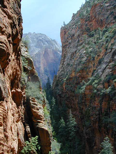
Zion Canyon is a mini Yosemite Valley, in red rock, in the high desert.

A terra cotta colored wonderland.

Zion National Park is one of the most visited of all the Utah National Parks Loop, due primarily to its proximity to Las Vegas, NV and Interstate 15.

Zion National Park Map

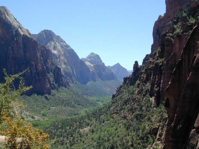
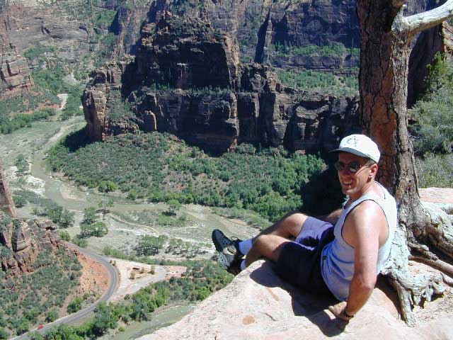
Zion Canyon, from hiking trail to Angel’s Landing

ZION NP OVERVIEW: To prevent traffic jams and preserve the wildness, the NPS offers a common parking lot (on Hwy 9 @ Springdale, UT) with tram/shuttle service to and from the valley. Plan to be away from your car most of the day when visiting the main canyon. Unless of course, you have reservations at the main lodge. Numerous hiking trails, the Virgin River, Zion Lodge and a restaurants.

Utah Highway 9 leads east through tunnels and more amazing rock scenery, with abundant pullouts for RVs and visitors. Nice uncrowded hikes can be found on the east side of the National Park at many of these random parking lots along the highway.

A small portion of Zion National Park parallels Interstate 15. This Kolob Area is far less crowded than the rest of the park, but no camping is allowed.

Abundant boondock camps can be found all over the Zion area, even along the freeway.

Awesome camps that we discovered in the late 1990’s are now well known and crowded, all year long.

Free river beach campsites W of Rockville, high country of the Smithsonian Butte trail, above Grafton ghost town. These areas are NO LONGER a secret, and are very crowded. BLM camping at Leeds exit is on a first come basis and limited, so you better arrive before dark for the best spots.

EXPERTS TIP – Buy a real map and learn to find campsites, that no one else knows about. Mark a GPS waypoints for future reference. Have the whole place to yourself for once!

Benchmark Atlas: Utah

Zion National Park Map

Hiking Zion National Park – Refrigerator Canyon. Refreshingly cool breezes pass through this canyon, so even hot summer days are okay. A great place to escape the mid-day heat.

avenzabar

apps/maps:
download digital topos & maps

driftwood

more maps on Utah


Zion National Park Map

Atop Angel’s Landing, Zion National Park, Utah

see also –

Bryce Canyon National Park Map
Capital Reef National Park Map 
Utah Maps
Utah Books

Los Padres National Forest Map

Coastal Big Sur Maps

California Central Coast Forest Maps

Los Padres National Forest Maps
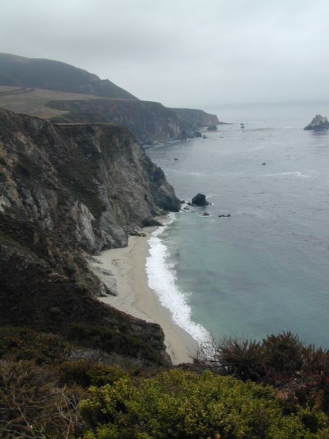
Los Padres Maps are perfect for exploring the gorgeous California Central Coast, from the beaches of Big Sur to hiking canyons of Ojai CA – National Forests North of L.A.

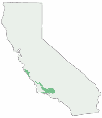
There are numerous maps covering the coastal mountain regions of Los Padres NF, which spans from Monterey Bay in the north to the Ojai mountains in the south, and eastward to Tejon Pass @ Interstate 5. Many folks call this area the Santa Barbara mountains, but it is so vast that it covers way more than just the coastline.

Los Padres Maps

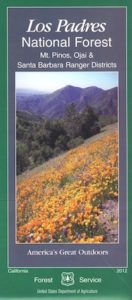
The National Forest Service makes two forest maps and two wilderness maps; USDA maps include:LosPadres Map

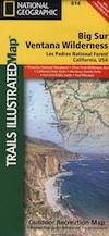
coastal mapsNatGeo, short for National Geographic makes three Trails Illustrated maps: colorful, topographic publications covering the entire Big Sur coast line, plus the mountain areas:

camp map

Los Padres Topo Maps: Smaller map publishers have entered the scene, producing topographical maps for Los Padres wilderness regions, where there were voids:

Tom Harrison Maps –

Bryan Conant –

Los Padres NF Maps

Ozena Views, from Lockwood Valley Road

hiking maps

Los Padres National Forest Atlas:
All Topo Quads

Los Padres topo atlas

Los Padres Digital Maps

Los Padres OHV 4×4 MAPS
Numerous off-road maps available as downloads (for free)

digital maps

apps/maps:
download digital topos & maps

Alamo Mtn / Miller Jeep Trail Map
Apache Canyon Topo Map USFS
Ballinger Canyon OHV Trails 4×4
Bates Canyon New Cuyama Map USFS
Camp Scheideck Reyes Peak USFS
Cone Peak Big Sur Map USFS
Cuddy Valley Topo Map USFS
Figueroa Mountain Topo Map USFS
Frazier Mountain Topo Map USF
Lake Cachuma Topo Map USFS
Lockwood Valley Topo Map USFS
Los Olivos Topo Map USFS
Los Padres MVUM – Navajo Flat (free)
Los Padres NF Visitor Map (South)
Los Padres NF Visitor Map (Central)
Los Padres NF Visitor Map (North)
Matilija Canyon Wilderness USFS
Mount Pinos OHV Guide East(free)
Mount Pinos OHV Guide West (free)
NatGeo 812 – Los Padres National Forest East
NatGeo 813 – Los Padres National Forest West
NatGeo 814 – Big Sur, Ventana Wilderness
Ojai Topo Map USFS
Santa Lucia OHV 4×4 Trails (free)
Sawmill Mountain Map USFS
Sespe Wilderness Topo Map
Tassajara Hot Springs Big Sur USFS
Ventana Cones Big Sur Map USF
Wheeler Springs Topo Map USFS

Los Padres Forest Maps

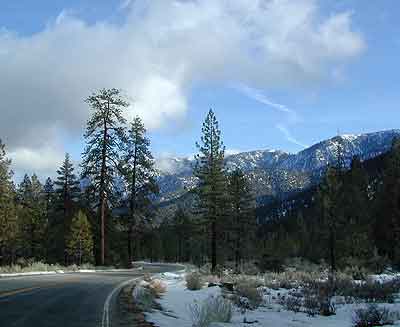
Snowy Mil Potreo Highway, W of PMC


Los Padres Maps and Atlas

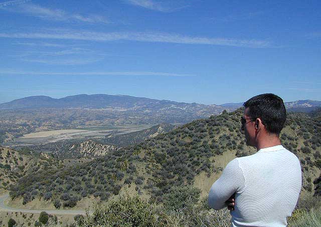
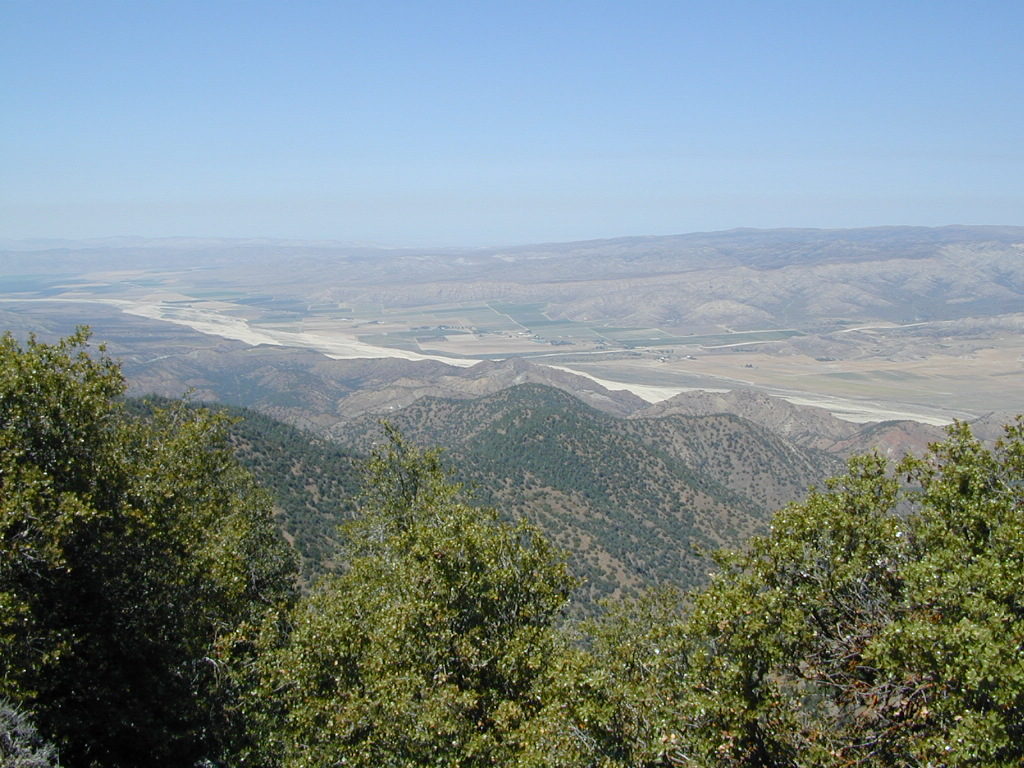
Cuyama River Valley as seen from the old fire lookout tower on Cuyama Peak

more links for this area –

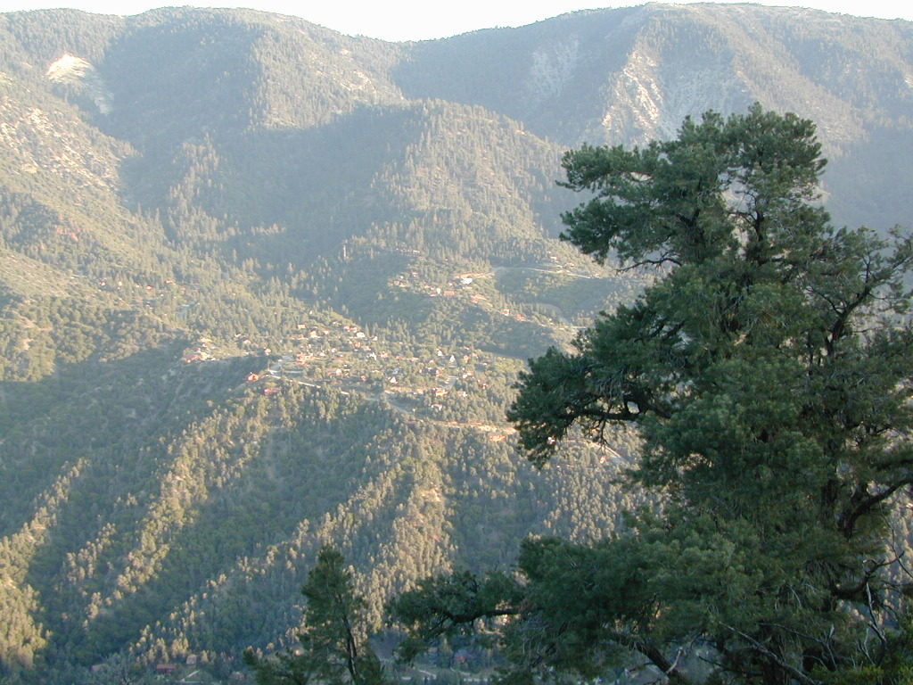
Beautiful PMC

Beautiful PMC = Pine Mountain Club

4x4 Routes Los Padres