San Diego Backcountry Map

San Diego Backcountry Map

San Diego Desert Mao

TH SD topo map

OLDER EDITION

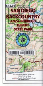
Topographic Maps by Tom Harrison: San Diego Deserts, Anza Borrego Desert. The #1 top selling map for the San Diego deserts!

San Diego Backcountry Recreation Map covers the entire Anza Borrego Desert State Park, the largest State Park in California & some portions of Cleveland National Forest; San Diego County Road S-2, S-22, Interstate 8, Highway 78 & Highway 94 to Tecate Mexico.

Areas surrounding Borrego Springs, Anza Borrego Park map, Julian & Warner Springs. PCT access (Pacific Crest Trail) plus Table Mountain, Sheep Canyon, OHV Deserts Ocotillo Wells SVRA, McCain Valley Camping, Carrizo Gorge Trestle Hike, Jacumba Hot Springs, Tierra del Sol 4×4 Trails, San Diego Lake Morena, Barrett Lake, Campo CA Potrero Regional Park, Agua Caliente Hot Springs, Vallecito, Carrizo Goat Trestle & Canyon sin Nombre Badlands.

digital mapsget a digital version of this map
San Diego Backcountry Map
by Tom Harrison

Recreation Map by Tom Harrison. Durable, waterproof plastic map; Folded. Map Scale: 125K; ISBN# 9781877689543

San Diego Desert Map

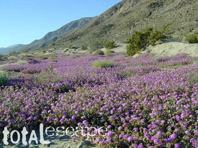
Borrego Desert is known best for Spring wildflowers (FEB-APRIL)

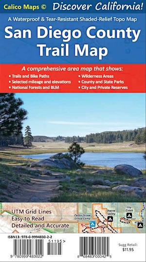
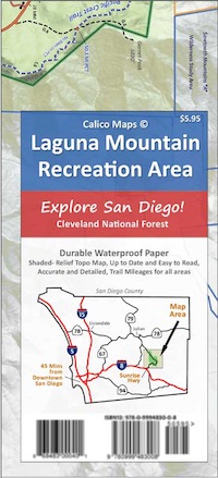
Two New San Diego Maps by Calico

San Diego County Trail Map

San Diego County Trail Map

Mount Laguna Map

Mount Laguna Trail Map

see also –
Cleveland National Forest Map 
Cleveland Forest Topo Atlas
Wilderness Press Map of Anza Borrego Desert

camp map

more exploring Anza Borrego:

Anza 4×4 Trails
Agua Caliente Hot Springs
Canon Sin Nombre Slot Canyons
Carrizo Gorge Goat Trestle
Culp Valley Camping
Great Overland Stagecoach Route of 1849
Mason Valley Truck Trail
Old Kane Springs Road
Split Mountain
Vallecito

Split Mountain Borrego

Split Mountain, Anza Borrego State Park, Southern California

4x4 maps

download digital maps

apps/maps:
download digital topos & maps

hiking

San Diego Camping, Anza Borrego Desert:

hikers map

nearby towns:

Hiking Maps Anza

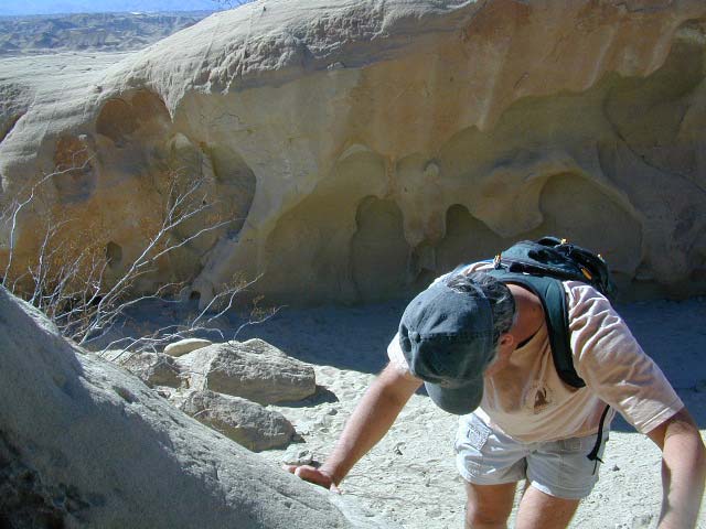
Exploring wind caves in Anza Borrego Desert

wildflower

campsunset

The whole canyon, all to yourself
 

Sierra Buttes Map

Sierra Buttes Map

Sierra Buttes, Yuba River Headwaters

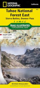
Sierra Buttes Map # 805 NatGeo
Tahoe National Forest

Trails Illustrated Map from National Geographic. Sierra Buttes, Donner Pass in Tahoe National Forest map #805. Lakes Basin Map, Mount Rose Wilderness, Pacific Crest Trail (PCT), Jackson Meadows, Stampede Reservoir, Truckee Backcountry Mountains, Hiking Trails, Trail Mileage. Interstate 80 California. High country map. Many roads and trails to explore. 2-sided map. Very detailed & colorful. Waterproof Plastic Map; Tear Resistant. GPS data. Scale = 1:63,360 ISBN#9781566953818

Sierra Buttes Map

Tahoe East Map

Sierra Buttes Map

OLDER VERSION

Lakes Basin Recreation Area

Sierra Buttes California 

Sierra Buttes Map

Forest Road #54 is FREE forest camping with Buttes view.

Sierra map

Sierra Buttes Map

Lakes Basin Recreation Area

Sierra Buttes Map

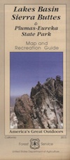
Lakes Basin Recreation Area Map USDA
Plumas Eureka State Park

The NFS Map & Recreation Guide covers the Sierra Buttes as well.Sierra Buttes Map

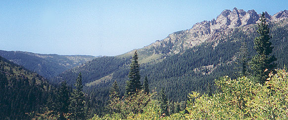
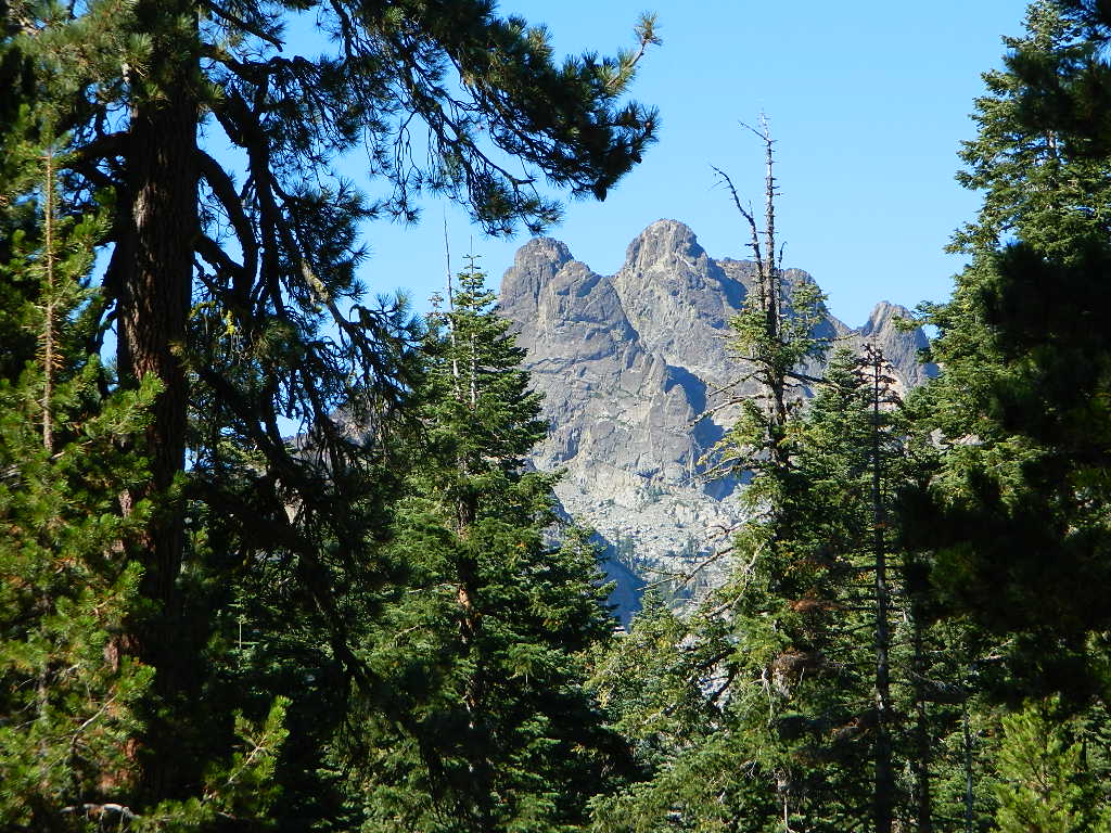
North of Gold Country, the granite spires tower above the North Yuba River. Sierraville, Sierra City and Downieville, the mountain bike mecca of the Northern Sierra Nevada. Plumas-Eureka State Park is also featured on this particular map. This region is big river and alpine lakes, stunning, beautiful high country up here, with the Lakes Basin Recreation Area (only accessible for half the year, due to snow pack).

Lakes Basin Recreation Area

Tahoe National Forest 

Sierra Buttes Map

see also –

camp mapsnearby towns:

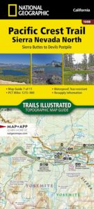
PCT map Sierra North

Arizona Books & Maps

Arizona Books and Maps

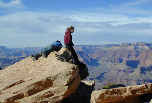
Grand Canyon NP, Arizona (south rim)

Arizona Books and Maps

Hiking Maps AZ & Books for Camping Arizona

Arizona Books and Maps

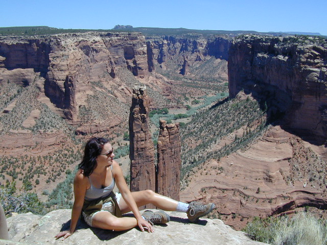
Canyon de Chelley


Arizona Books and Maps

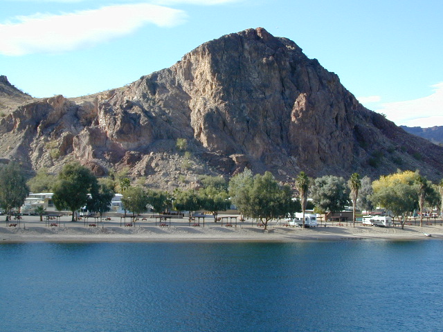
Colorado River RV Camping

Arizona Books and Maps

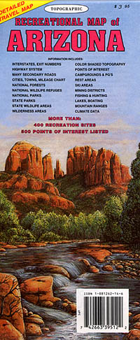
Recreational Map AZ (older edition)

Arizona Books and Maps

see also –

Anza Borrego Desert Map
BLM Maps
Mojave Desert Books
Mojave Maps
San Diego Backcountry Map 

Lodge Listing

cabins
Get linked on Total Escape.

ANNUAL LISTING: Best deal in local California advertising!

Businesses include: bed & breakfasts, historic inns, hot springs, river resorts, snow ski resorts, fishing lodges, vacation homes, mountain cabins, yurts, guest ranches, farm stays, retreats, RV camps, beach bungalows, and any non-chain hotel, motels, etc

motels

Total Escape does not list the large, national chains for lodging. We only specialize in the rural areas of California – getting the urban population out to your neck of the woods.

This annual advertising is for a text listing with link to be placed live on Total Escape.com > LODGE. Basic Listing for Lodges, or choose a Deluxe Ad with a photo.

On a slow month (during winter) we are able to push over 60,000 viewers to our lodging pages.
click here to see some stats

bajaresorts
Get more exposure directed to your website with a link from Total Escape. Online 21 years – we have the traffic to drive you wild. Outdoorsy travelers find what they need on our 8000 page web site. Advertise your travel industry related business with Total Escape today!


Lodge Listings for California

Lodge Listings for California

Lodge Listings for California