Bucks Lake Topo Map
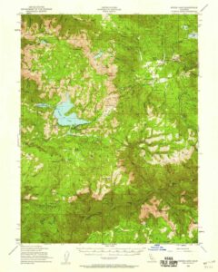
Bucks Lake Wilderness Map
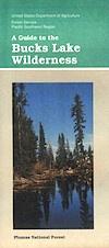
Bucks Lake Wilderness Map USDA
Map Scale = 2″ to 1 mile; Printed on paper in 1990.
Available @ USGS.gov
and at Plumas Ranger Station, Quincy, CA
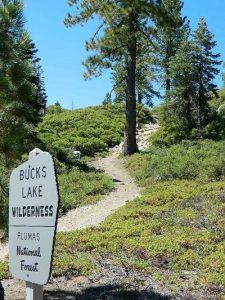
Bucks Lake Wilderness @ Bucks Lake
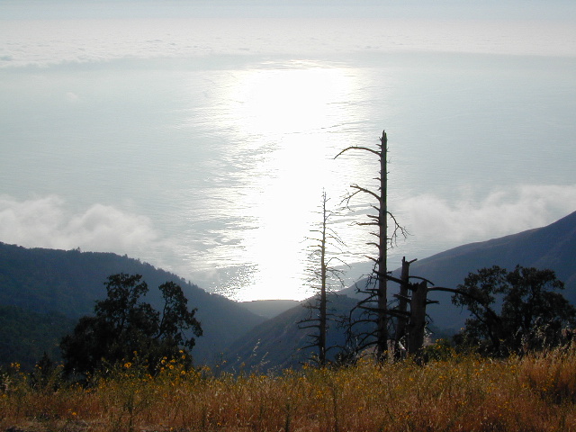
Northern Sierra Nevada mountains

 East of Oroville, CA
West of Quincy, CA
Bucks Lake Wilderness Map
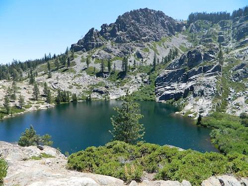
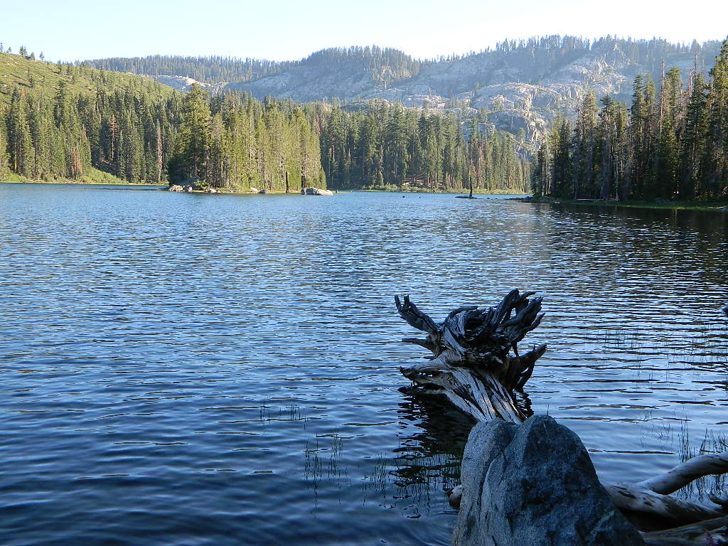
South of Mount Lassen, deep in the forests west of Quincy & Meadow Valley, lies a few small alpine lakes in and around the bigger Bucks Lake, a resort cabin community with dining, overnight lodging, cabin rentals, RV and tent campgrounds. Indian Rock is a popular DAY USE beach along the west shoreline.
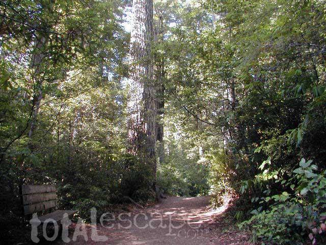
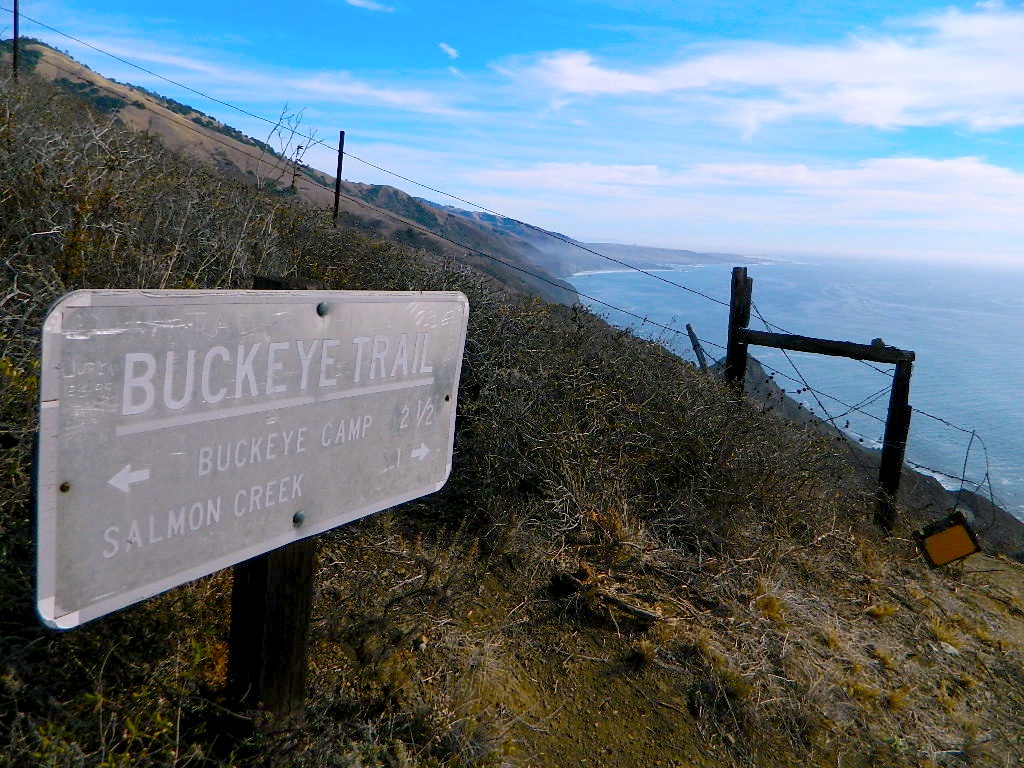
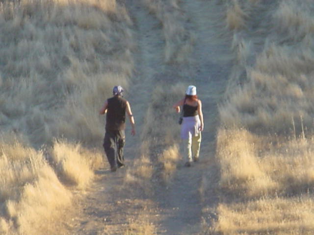
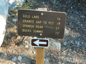
Wilderness hiking trails climb to peaks and lakes at higher elevations.
Topo maps are perfect for a day hike reference or extended backpacking adventures. Pacific Crest Trail access. Bucks Lake has numerous developed campgrounds, smaller lakes and many miles of trails to explore.
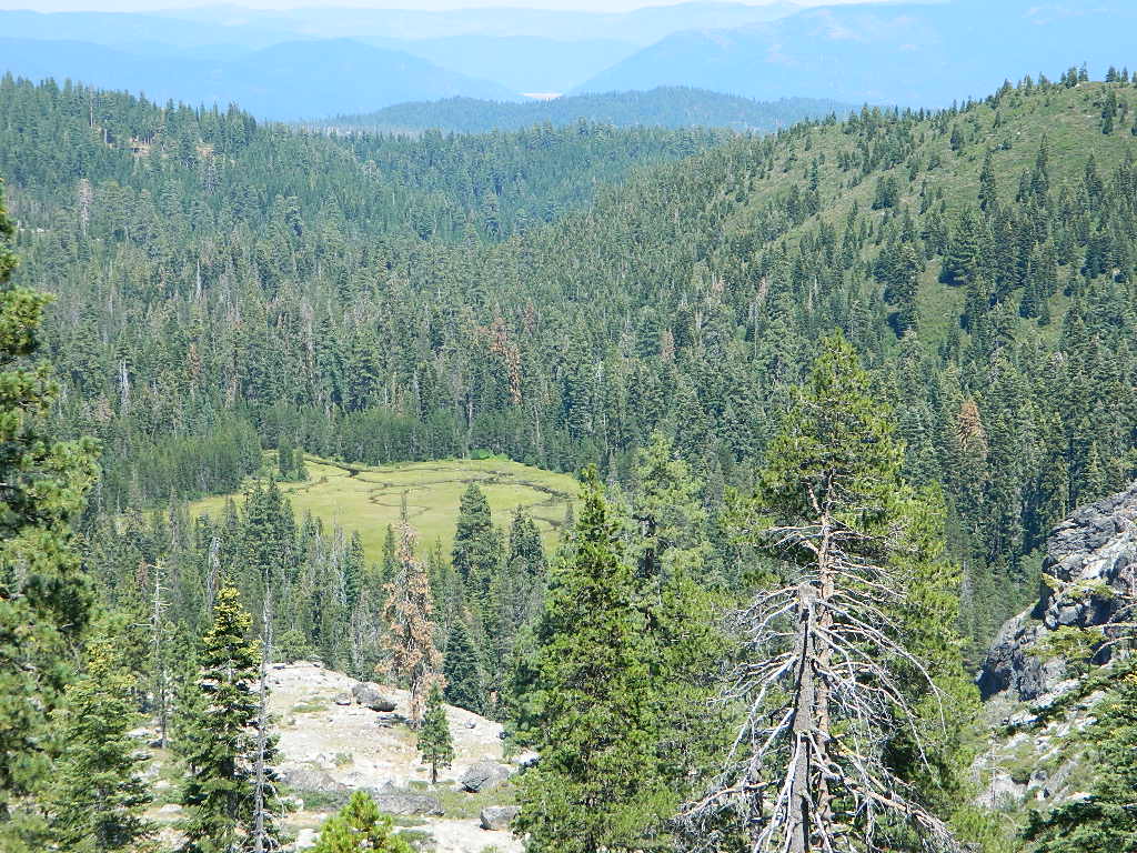
Jacks Meadow
Silver Lake has a small campground accessed via dirt road.