Jawbone Canyon OHV Map

Jawbone Canyon Map
Jawbone Canyon is North Mojave Desert,
US Hwy 395 @ Hwy 14

Jawbone Canyon Map

12th edition. jawbone.org

Jawbone Canyon Map

New features on map include – restroom and kiosk locations, updated GPS coordinates, updated trail routes and revised points of interest.

Off Road Map: Jawbone Canyon / Kelso Valley / Randsburg Ghost Town

Jawbone Canyon OHV North Mojave Desert Map; Topo features, Waterways, Trails & Roads. Motorized & no-motorized trails. Eastern Kern County High Desert. Spangler Hills OHV, Trona Pinnacles National Monument, Randsburg OHV, Red Mountain, Johannesburg, Red Rock Canyon State Park, Last Chance Canyon, El Paso Mountain Wilderness, Desert Tortoise Preserve, Kiavah Wilderness, Dove Springs OHV, Bright Star Wilderness, Tehachapi Loop, Walker Basin, California City, BLM Camping Mojave California Desert Trails, Southern Sierra OHV.  Map by Friends of Jawbone w/ California Trail Users Coalition

SoCal Off-Road, OHV Parks, Dove Springs, Jawbone Canyon, Dirt Bike Maps, offroad, North Mojave Desert, Trona Road


avenza mapsget a digital version of this map
CTUC Jawbone Canyon OHV Map

driftwood

Jawbone Canyon Map

Camping Last Chance Canyon

Jawbone Canyon Map

California Mojave Desert OHV Camping:

Do the off-roader RVs really roast a turkey in the ground at Jawbone Canyon?

Death Valley National Park is a land to be visited, during winter months (NOV-APRIL)

Randsburg – Living Ghost Town, off US Highway 395

Jawbone Canyon Map

Jawbone Canyon leads up to Kelso Valley & Bright Star Wilderness, eventually up to Lake Isabella near Kern River, Southern Sierra California

see also –

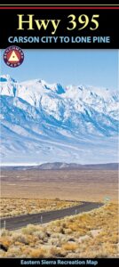
Inyo National Forest Map
Inyo Forest Topo Atlas
Sequoia National Forest Map
Sequoia Forest Atlas
Southern Sierra Map

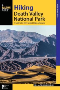
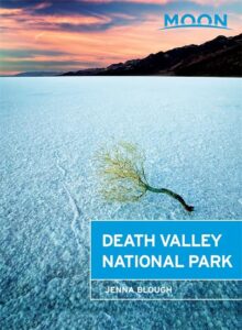
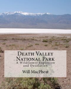
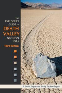
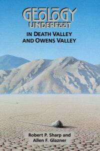
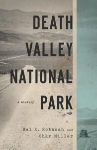
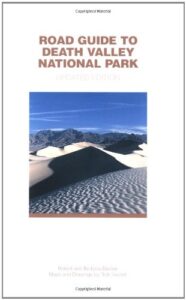
Death Valley Books

Death Valley Road Trip, Camping Death Valley National Park, Mojave Desert California
Death Valley Books

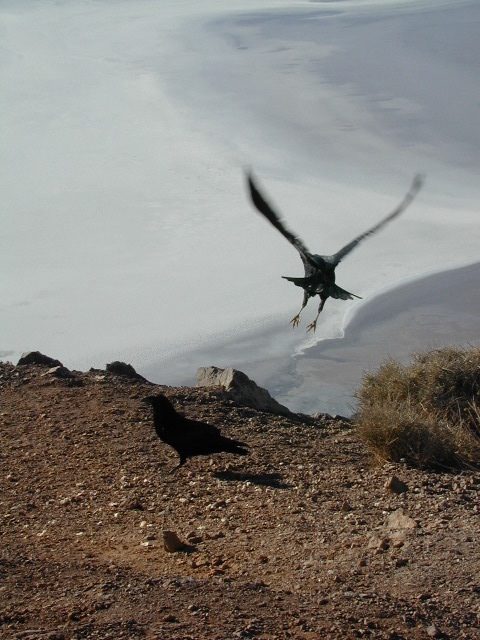
Dante’s View, DVNP

Death Valley is a desert valley in Eastern California, in the northern Mojave Desert, bordering the Great Basin Desert. It is one of the hottest places on Earth.

The Badwater Basin is the point of lowest elevation in North America, at 282 feet below sea level. It is located 85 miles east-southeast of Mount Whitney, the highest point in the contiguous United States, with an elevation of 14,505 feet.

Lying mostly in Inyo County, California, near the border of California and Nevada, in the Great Basin, east of the Sierra Nevada mountains, Death Valley constitutes much of Death Valley National Park and is the principal feature of the Mojave and Colorado Deserts Biosphere Reserve. It runs from north to south between the Amargosa Range on the east and the Panamint Range on the west; the Grapevine Mountains and the Owlshead Mountains form its northern and southern boundaries, respectively. It has an area of about 3,000 sq miles.

The highest point in Death Valley National Park is Telescope Peak, in the Panamint Range, which has an elevation of 11,043 feet.

Death Valley has a subtropical, hot desert climate, with long, extremely hot summers; short, mild winters; and little rainfall.

The valley is extremely dry, because it lies in the rain shadow of four major mountain ranges (including the Sierra Nevada and Panamint Range). Moisture moving inland from the Pacific Ocean must pass eastward over the mountains to reach Death Valley; as air masses are forced upward by each range, they cool and moisture condenses, to fall as rain or snow on the western slopes. When the air masses reach Death Valley, most of the moisture has already been lost and there is little left to fall as precipitation.

Death Valley Books

Death Valley Books

Death Valley Books

Death Valley Books

see also

Death Valley Topo Map
Benchmark California Atlas
Inyo National Forest Map
Inyo Forest Topo Atlas
Jawbone Canyon Map

Amargosa Opera House @ Death Valley Junction
Death Valley Books

BLM Maps

Bureau of Land Management
BLM Maps

BLM Maps

Desert BLM lands, California

Download PDF maps
from BLM website:
blmhttps://www.blm.gov/maps

BLM’s Story Maps (web app gallery) via Web App Viewer
https://blm-egis.maps.arcgis.com/

BLM South Yuba River

Paper BLM Maps can be ordered online from Jawbone.org
jawbone.org/ohvmap/index.php/maps-guides/agency-maps

Alturas
Amboy4x4 maps
Beatty
Big Bear Lake
Bishop
Blythe
Borrego
Cuddeback Lake
Darwin Hillstrail map
Davis Dam
Death Valley Junction
Eagle Mountain
El Cajon
El CentroOHV deserts
Isabella Lake
Ivanpah
Lancaster
Last Chance Canyon
Mesquite Lake
Mount Whitney
Needles
Newberry Springs
Owlshead Mountains
Palm Springs
Parker Mapcamp maps
Ridgecrest
Saline Valley
Salton Sea
San Andreas
San Bernardino
Santa Ana
Sheephole Mountainscamp map
Soda Mountains
Tehachapi
Three Rivers
Trigo Mountain
Victorville
Yosemite Valley
Yuma

BLM Camping Utah

BLM for off-road routes and free camping

BLM stands for the Bureau of Land Management and it is an agency within the United States Department of the Interior responsible for administering federal lands. Headquartered in Grand Junction, Colorado and with oversight over 247.3 million acres, it governs one eighth of the country’s landmass.

The agency manages 221 wilderness areas, 27 national monuments and some 636 other protected areas as part of the National Conservation Lands, totaling about 36 million acres. In addition the Conservation Lands include nearly 2,400 miles of Wild and Scenic Rivers, and nearly 6,000 miles of National Scenic and Historic Trails. There are more than 63,000 oil and gas wells on BLM public lands.

BLM OHV Areas

Nelson @ El Dorado Canyon – Lake Mohave

see also – hikers map

California Desert Maps
National Forest Atlas
State Atlas Maps
Utah Maps

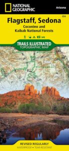
Flagstaff Sedona Map

NatGeo Trails Illustrated
Flagstaff Sedona Map #856

Sedona Camping & Hiking Trails
Flagstaff Arizona, Sedona, AZ Hikes, Campgrounds

Map covers Coconino National Forest, Kaibab National Forest, South Rim Grand Canyon, Kachina Peaks, Kendrick Mountain, Strawberry Crater Wilderness Area, San Francisco Peaks, Arizona Trail, Game Management Units, Cinder Hills OHV Area. GPS Compatible, Full UTM Grid. National Geographic, Waterproof Plastic Map, ISBN# 9781566955157

Flagstaff Sedona MapSedona Map of Arizona, Northern Arizona Tourism, Arizona Maps, Flagstaff AZ, Flagstaff Hiking, Camping North AZ

Flagstaff Sedona Map

More Sedona Maps on Amazon –


see also – 

Grand Canyon Maps
Mojave National Preserve Map

Red Rock Canyon Vegas
Lake Mead NRA Map
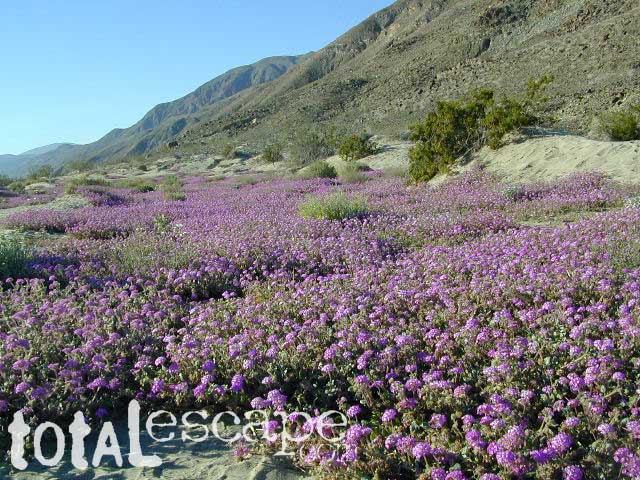
Anza Borrego Desert Map
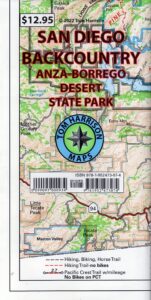
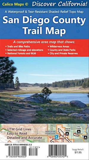
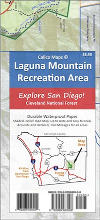
San Diego Backcountry Maps