Cuyamaca Rancho State Park
San Diego Mountains
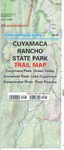
Rancho Cuyamaca State Park Map
Tom Harrison
- Cuyama Peak
- Cuyama Lake nearby
Hiking San Diego Mts.
Campground Camping
 Rancho Cuyamaca State Park inside Cleveland National Forest; Hiking Map San Diego Mountains, Laguna Mountains Camping, Julian Campgrounds, Cuyamaca Peak, Stonewall Peak, Paso Picacho, Lake Cuyamaca, Green Valley Falls, Sweetwater River. Cuyamaca Maps Backpacking San Diego Maps; Durable, waterproof plastic map; Folded. Map Scale: 32K; ISBN# 9781877689796
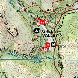
- camp

- climb
- hike
- horseback
- mountain bike
- picnic
- waterfalls
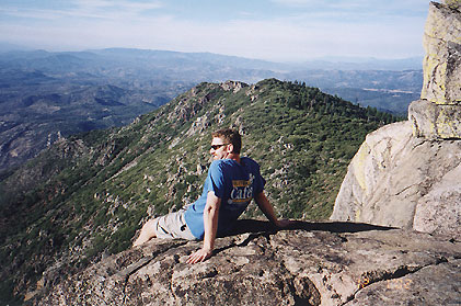
Cuyamaca Peak, East San Diego County
San Diego Hiking Maps
Day use areas and overnight camping in the San Diego mountains. Located along Highway 79, in between Julian and Interstate 8, Rancho Cuyamaca State Park is a popular spot for family camping, day hikes and picnics. Oak foothills, pine forests, meadows, boulder peaks, waterfalls, campgrounds, trailheads and picnicking areas.
- Cuyamaca Peak
- Green Valley
- Lake Cuyamaca
- Paso Picacho
- Stonewall Peak
- Sweetwater River
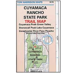
older edition
Lake Cuyamaca is a recreation area offering boating, fishing, and camping at the reservoir. Campground, store, cafe, and tackle shop are available at the lake. The small reservoir is stocked with trout annually, and is the only San Diego lake that is able to stock trout all year long.
Conical Middle Peak is above the lake on the east, and North Peak is on the north side. Hiking trails reach the summit of Cuyamaca Peak, located to the southwest of Cuyamaca Reservoir and inside Cuyamaca Rancho State Park.
The dam at Cuyamaca lake is the second oldest in California still in use, completed in 1888. It was built to supply drinking water to the city of San Diego. It was originally piped down to San Diego in wooden flumes. It continues to be part of the municipal water supply system for San Diego County.
see also –
Cleveland National Forest Map
Cleveland Forest Atlas
Mount Laguna Trail Map
San Diego Backcountry Map
San Diego County Trail Map
Pine Creek – Hauser Wilderness Map
Anza Borrego Desert Map

