Bodie Hills Map

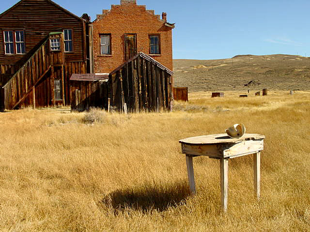
Bodie Ghost Town California

Bodie Hills MapBodie State Historic Park
Aurora Canyon

Eastern Sierra Nevada area near Bridgeport, California

HIGH DESERT –
8375′ elevation

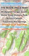
This Bodie map is authentic. Created and produced by none other than Tom Harrison, a legend in the field California cartography. No other map creator makes a detailed topographic map of Bodie Ghost Town, State Park and desert region.

Bodie Hills Map

Bodie Ghost Town Map

Tom Harrison Trail Map: Bodie Ghost Town CA, Bodie State Historic Park, State Park Bodie, BLM Bodie Hills, Back Roads Bridgeport California, Mining Desert High Country Map, 4×4 roads, Aurora Canyon, Aurora Nevada, Bodie Hiking Map, Backpacking Maps. Travertine Hot Springs, Geiger Grade, Bodie State Park, NV Desert Mountains, Bridgeport Hiking Maps. Durable, waterproof plastic map; Folded. Map Scale: 63K; ISBN#9780981834412
Bodie Map

OLD VERSION

avenza mapsdownload digital version of this map –
Bodie Hills Topo Map
Bodie Hills Map

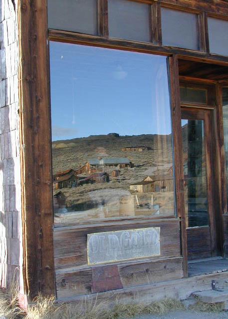
Bodie Ghost Town is the most popular & best preserved historic mining camp in California. Winter months are cold, windy, and often snowy. Late summers can get hot. Plan accordingly.

No services, no pavement, no big trees. Very remote location. Abundant free, boondocking camps in this high desert region, so make sure to get a camp fire permit from the local ranger station in Lee Vining or Bridgeport, CA

Bodie Hills Map

Photo by Morris Neer

nearby destinations:

Bodie Hills Map

Photo by Morris Neer

see also – 

Toiyabe National Forest Map
Hoover Wilderness Trail Map


San Diego Backcountry Map

San Diego Backcountry Map

San Diego Desert Mao

TH SD topo map

OLDER EDITION

Topographic Maps by Tom Harrison: San Diego Deserts, Anza Borrego Desert. The #1 top selling map for the San Diego deserts!

San Diego Backcountry Recreation Map covers the entire Anza Borrego Desert State Park, the largest State Park in California & some portions of Cleveland National Forest; San Diego County Road S-2, S-22, Interstate 8, Highway 78 & Highway 94 to Tecate Mexico.

Areas surrounding Borrego Springs, Anza Borrego Park map, Julian & Warner Springs. PCT access (Pacific Crest Trail) plus Table Mountain, Sheep Canyon, OHV Deserts Ocotillo Wells SVRA, McCain Valley Camping, Carrizo Gorge Trestle Hike, Jacumba Hot Springs, Tierra del Sol 4×4 Trails, San Diego Lake Morena, Barrett Lake, Campo CA Potrero Regional Park, Agua Caliente Hot Springs, Vallecito, Carrizo Goat Trestle & Canyon sin Nombre Badlands.

digital mapsget a digital version of this map
San Diego Backcountry Map
by Tom Harrison

Recreation Map by Tom Harrison. Durable, waterproof plastic map; Folded. Map Scale: 125K; ISBN# 9781877689543

San Diego Desert Map

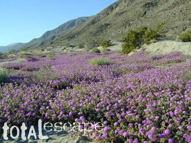
Borrego Desert is known best for Spring wildflowers (FEB-APRIL)

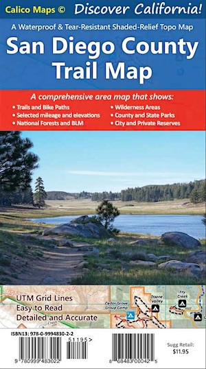
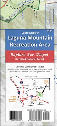
Two New San Diego Maps by Calico

San Diego County Trail Map

San Diego County Trail Map

Mount Laguna Map

Mount Laguna Trail Map

see also –
Cleveland National Forest Map 
Cleveland Forest Topo Atlas
Wilderness Press Map of Anza Borrego Desert

camp map

more exploring Anza Borrego:

Anza 4×4 Trails
Agua Caliente Hot Springs
Canon Sin Nombre Slot Canyons
Carrizo Gorge Goat Trestle
Culp Valley Camping
Great Overland Stagecoach Route of 1849
Mason Valley Truck Trail
Old Kane Springs Road
Split Mountain
Vallecito

Split Mountain Borrego

Split Mountain, Anza Borrego State Park, Southern California

4x4 maps

download digital maps

apps/maps:
download digital topos & maps

hiking

San Diego Camping, Anza Borrego Desert:

hikers map

nearby towns:

Hiking Maps Anza

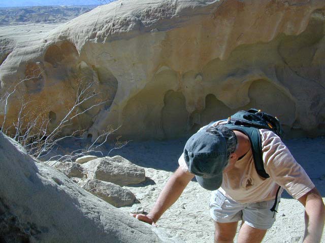
Exploring wind caves in Anza Borrego Desert

wildflower

campsunset

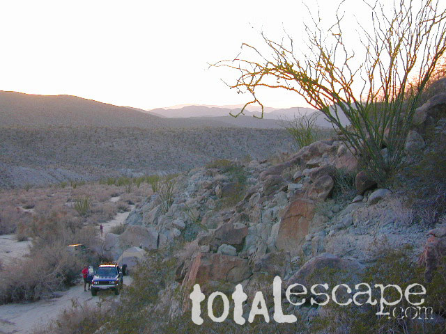
The whole canyon, all to yourself


Angel Island Alcatraz Map

Angel Island & Alcatraz Map
Tom Harrison Maps

2024: CURRENTLY UNAVAILABLE

Angel Island Alcatraz Map

Angel Island State Park Map / Alcatraz Map / SF Bay Area Map
Angel Island & Alcatraz Map, San Francisco Bay Maps, San Francisco Hiking Maps, Hiking Trails Angel Island; Camping Angel Island, Alcatraz Prison; Durable, waterproof plastic map; Folded. Map Scale: 12K; ISBN# 9781877689819

Angel Island Alcatraz Map

Angel Island from Mt Tam

Angel Island Alcatraz Map

see also – 

Marin Hiking Maps
Mount Diablo Map
Mount Tam Maps
Point Reyes Map
San Francisco Hiking Maps


Mount Tam Trail Map

Mount Tam Trail Map

Mt Tam Topo Map
Mount Tam Trail Map


Mount Tamalpais Trail Map
Marin Hiking Map
by Tom Harrison

Tom Harrison Trail Maps: Mount Tamalpais Trail Map, Mount Tamalpais State Park Map; Marin County Open Space, Marin Municipal Water District, San Francisco Hiking Maps, San Francisco Hikes, Backpacking Point Reyes. Camping Point Reyes Redwoods. Mount Tam Hiking, Golden Gate National Recreation Area.

Durable, waterproof plastic map; Folded. Map Scale: 24K; ISBN# 9781877689741

    • backpackMount Tam Trail Map
    • camp
    • hike
    • mountain bike
    • picnic


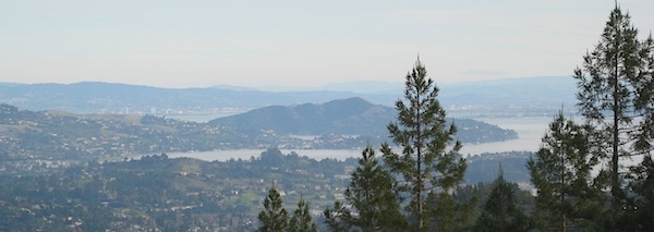
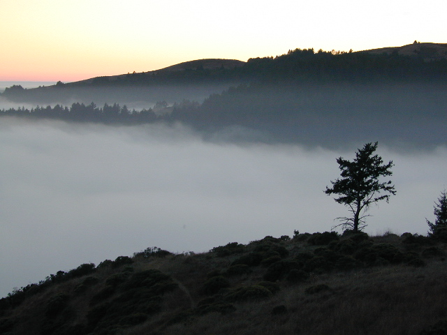
Mount Tam Trail MapMount Tamalpais is considered the birthplace of mountain biking. This State Park is one of the most popular hiking areas in Marin County, California. Mount Tamalpais is the most prominent physical feature north of the Golden Gate in the San Francisco Bay area. Its slopes are covered with a variety of forests, hiking and biking trails, accessible from trailhead and campgrounds around its perimeter.

california

other local maps for
Marin County & Mount Tamalpais:

Mt Tamalpais Map

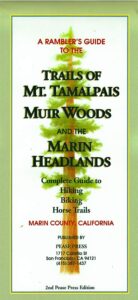
Muir Woods Map Marin

nearby towns:

Mount Tam Trail Map

see also –
Point Reyes Map
All Mount Tamalpais Maps