Oregon Dunes Map

Oregon Dunes Map

2022 – IN STOCK

oregon dunes map
Oregon Dunes Map

2022 currently this map is unavailable on Amazon; might still be found at local ranger stations

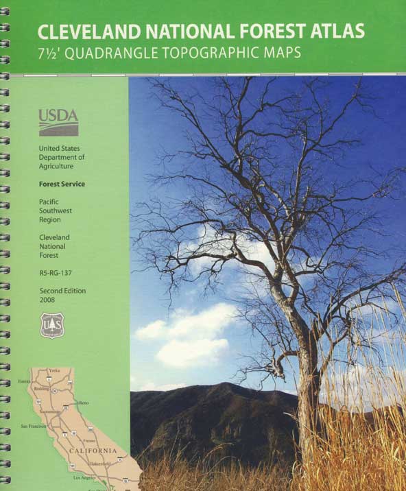
Sand Dunes NRA, Siuslaw National Forest, Oregon

Oregon Sand Dunes – Camping on the Oregon coast.
Florence OR, Oregon Dunes Campgrounds

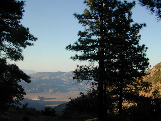
4x4 mapsOregon Dunes National Recreation Area Map, Siuslaw National Forest Oregon, Oregon Dunes NRA, OR Beaches, Oregon coast map. Oregon Dunes Camping, off-road, OHV, ATV. Lagoon Campground, Driftwood II Campground, Goose Pasture, Siltcoos Beach. Westlake, Florence OR, Reedsport, Coos Bay Oregon Maps. Printed in paper in 1995

Oregon Dunes Map

see also – 

Rogue River National Forest Map
Rogue River Float Guide
Six River National Forest Map
Siskiyou Map
Smith River Map
Coastal Maps for California 

Baja California Maps

Baja Road Trip Map
Baja California Mexico

Baja Road Trip Map

Benchmark Baja California
Road & Recreation Atlas

Baja Map Mexico

New atlas for Baja California MX, created by Benchmark Maps.
Released MAY 2021

Baja Map Mexico

old baja almanacDecent printed Baja Maps are always hard to come by. If you are seeking a hard copy Baja Road Trip Map, then the links below may help you find one.
Historic Baja Almanac >

Landon’s legacy will always live on with the amazing map that he created; published between 1997-2009. The Baja California Almanac is regarded as the best topographical map of the Baja California peninsula. This map book has been out of print since 2010 and finding one on eBay or Amazon is often difficult.

baja trail mapLandon S. Crumpton (RIP) * dirt biker turned map maker

baja foldout map

OLD fold-out MAP

This smaller Baja fold out map was a once-off map publication that was printed in the mid-2000s, but it is impossible to find now. Originally selling for a mere $5.95, they were quickly outta stock and never to be seen again.

Furthermore, if you are seeking to travel Baja California in depth, may we suggest a GPS unit; and downloading the more relevant, digital maps over at Baja GPS Guide. They have newer digital maps for this region. Claiming to be the most detailed map of Baja, Copper Canyon, and mainland Mexico. NOTE: must own a compatible GPS for this map. BAJA & MEXICO E32 TOPO MAP

baja maps

Gonzaga Bay, Baja California Mexico

Explore Baja: Petroglyphs, Back Roads, Surf Spots, Fishing Maps, Off Road Routes, Mountains, Deserts, Camping, Beaches, Sea of Cortez; in particular, these popular favorite south-of-the-border destinations Guadalupe Canyon Hot Springs and Mikes Sky Ranch

Several notable Baja California towns:camp maps

baja California atlas

OUT OF PRINT

4x4 maps

Surf Baja Road Trip Map

Surf Baja California


National Geographic makes Baja Maps!

maps of Baja California

Baja Road Trip Maps (2 pack) by NatGeo

4×4 Guide Tahoe NF

4×4 Tahoe Trail Maps
Off Roading Routes

4x4 maps4×4 Tahoe Trail Maps: Explore the 4WD (four wheel drive) dirt and gravel roads inside the Lake Tahoe region. The Lake Tahoe off roading trail maps shown on this page are only a few of the maps of what is available. Featuring locations like Truckee, Lake Tahoe, SLT, PCT, plus all lakes at Donner Pass, Canyon Creek, the Sierra Buttes, the American River and Yuba River watersheds. Please follow the links listed at the bottom of this page for more Tahoe Maps.

Camping Lake Map

Sawmill Lake, Tahoe NF – N of Donner Pass I-80

4Wheeler’s Guide to Trails of the Tahoe National Forest, CA; Lake Tahoe to the North Yuba River; Northern Sierra Nevada mountains, N Gold Country California

4Wheeler’s Guide to the Rubicon Trail

driftwood

California off roading with 4×4 Tahoe Trail Maps. Topographical hard copy maps show contour lines, routes, trailheads, campgrounds, alpine lakes, mountain peaks, wilderness boundaries.  Maps for use by nomad campers, mountain bikers, dirt bikers, jeeps, SUVs, ATVs, and all off roading rigs. Overland camping options in the high elevation Sierra Nevada mountains.

see also –dirt bikes trail map

Lake Tahoe Basin Topo Atlas

Tahoe National Forest Map USDA

Lake Tahoe Basin – Recreation @ Lake Tahoe

Tahoe Rim Trail Topo Map by Tom Harrison

USDA Lakes Basin, Sierra Buttes Map

bowman cliff shoreline

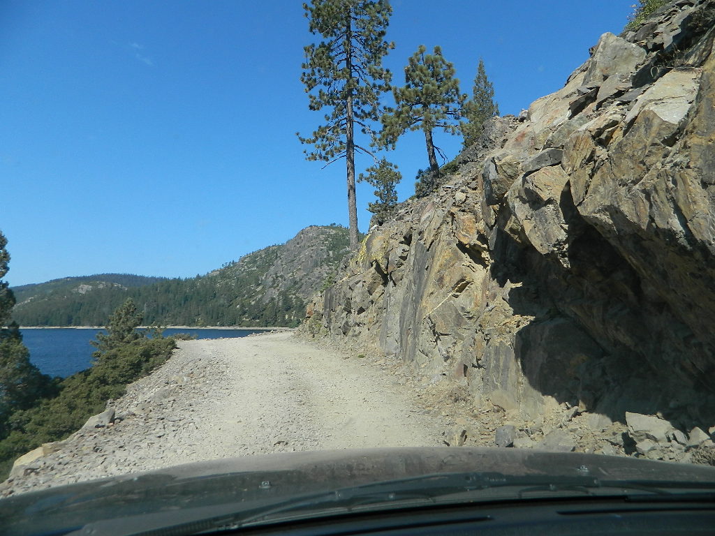
Bowman Lake, narrow cliff shoreline

Tahoe Forest Maps
by National Geographic

Tahoe East – Sierra Buttes & Donner Passfishing maps tahoe

Tahoe West – Yuba River & American River

sierra buttes maps

Back Roads @ N Yuba, Lakes Basin

Lakes Basin Recreation Area: Sierra Buttes
GOLD LAKE HWY. North Sierra Nevada – where granite spires touch the sky and river canyons run deep. Alpine lakes are covered in snow half the year w/ Gold Lake being the largest.

Totally worth a weekend visit! Spending a full week here is ideal. Summer destination for cabins, camping, hiking, fishing, waterfalls, and even off road routes; Winter offers snow recreation: cross country ski, snow shoe trails, and snow mobile access.


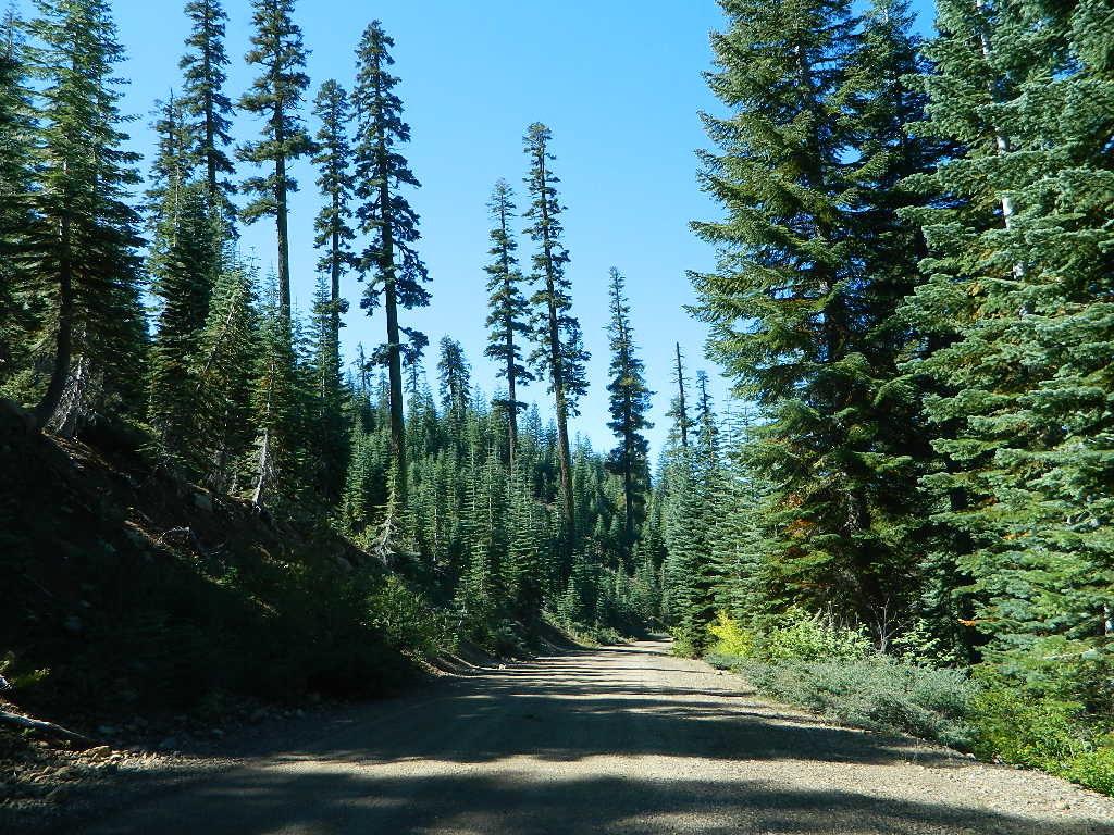
forest roads map tahoe

Tire Tools: roadside assistance
doesn’t do dirt roads

Baja Almanac

Baja California Almanac Map

The Biggest & Best Baja California Topo Atlas

Baja Almanac Map

baja almanac 2021This map covers both top and bottom of the peninsula: Baja Norte (NORTH) & Baja Sur (SOUTH), BC Mexico

Baja Almanac PDF?

2021 UPDATE:
available for free, in a PDF download from
baja-almanac.com


NOTE: every so often these printed map books can be found on eBay or Amazon,or elsewhere online usually commanding a high for price tag for a “used copy”

Baja Almanac 2003

Baja Almanac 2003

Baja Almanac – by Landon S. Crumpton

Mexico Maps – Both Northern & Southern Baja California in one atlas. The Best Maps of Baja, period! Excellent resource while traveling in Mexico. If you plan on driving deep into Baja and really exploring back roads, hidden coves, surf spots, deserts, petroglyphs… this is the map to have.

Lands End

baja california almanac

2009 edition (large format)

This version was the largest format ever printed on this map, detailing every inch of Mexico’s Baja California peninsula. Thinner and larger means less page flipping. With over 10,000 entries, the Baja Almanac lets you pinpoint any location in Baja, down to the most remote ranch or campsite. Published 2009. ISBN# 9780965866347

  • Larger Size: 10.75″ wide x 15.25″ tall
  • Printed on 70lb Paper with Matte Finish, a crisper, more defined presentation
  • Adjoining Map Overlap, each map displays an overlapping segment of adjoining map pages
  • Updated Land Routes & Cultural Features
  • Complete Indexes, Mileage Chart and Primary Route Distance in both miles & kilometers
baja maps

OLDER VERSION

baja norte

REAL OLD VERSION

CSL Marina

CABO SAN LUCAS MARINA

NatGeo makes waterproof hard-copy maps of the the Baja Peninsula.

see –bajamapsnatgeo
National Geographic Baja Maps


baja maps


gonzagabay

Gonzaga Bay, Baja California

Bay of L.A.

Bay of L.A.(aka Bay of Los Angeles) Baja California

Catavina

DanaMite @ Catavina, B.C. Mexico