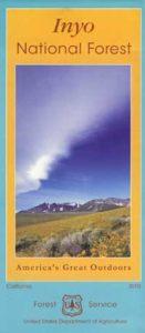
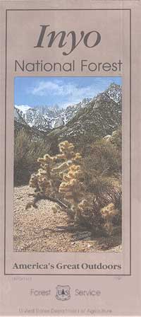
Inyo National Forest Map

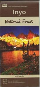
Inyo Map

Inyo National Forest Map

Eastern Sierra Map, Inyo Map, Mt Whitney, Bishop Wilderness
NFS – USDA – U.S. Forest Service

USDA maps created for the National Forest Service. GPS: Longitude & Latitude; Rivers, Creeks, Peaks, Elevations, 4WD & every dirt BackRoad, Hot Springs, Equestrian Areas, all Campgrounds, Hiking Trails & Backpacking Trailheads.NFS

Areas include: Eastern Sierra, Range of Light, Owens Valley, Hwy. 395, Bishop, Lone Pine, Lee Vining, Independence, Mammoth, June Lake, East Yosemite, Mount Whitney, Mono Basin, White Mtns, Ancient Bristlecone Pine Forest, Monache Mdws, Golden Trout Wilderness, Cottonwood Lakes, Sierra Lakes, Mono Lake, John Muir Trail & JM Wilderness, Ansel Adams Wilderness, Lake Crowley, Hot Springs, Rock Creek, Inyo Mtns, Kennedy Mdws, South Sierra Wilderness.
inyoinyoNF

inyo2002

older version

INYO_mountains

paper map from 1993


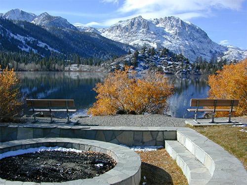
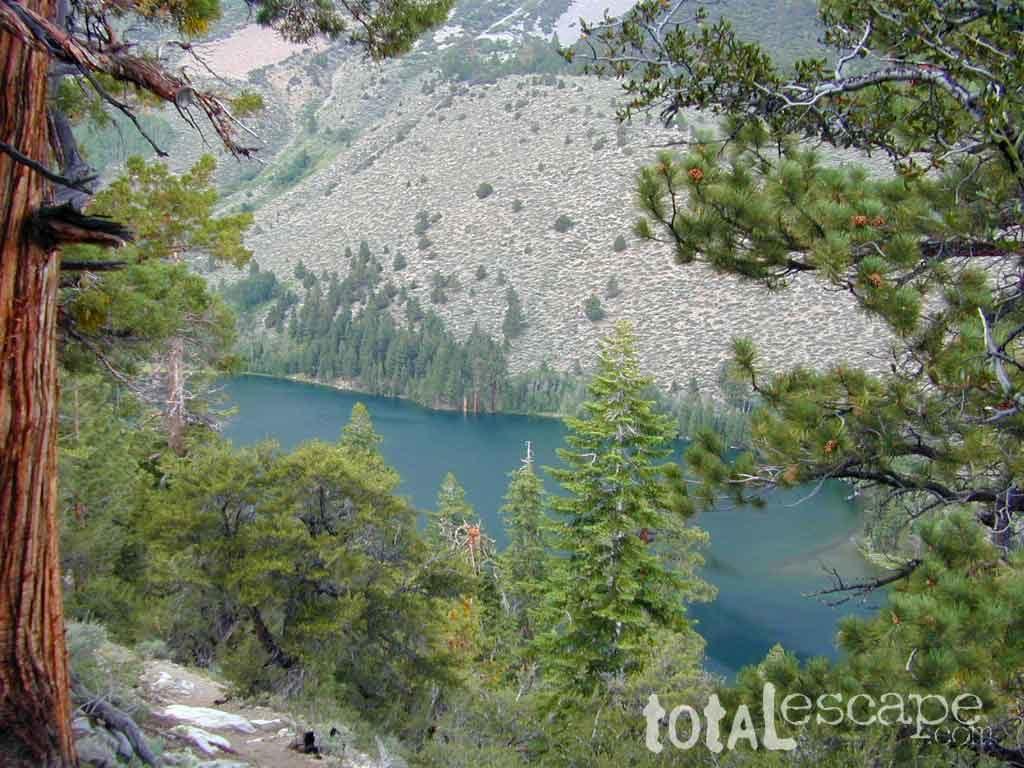
gull_lake

Gull Lake, next to June Lake in the Eastern Sierra
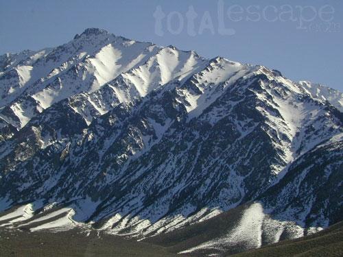
giganta
Eastern Sierra California
Inyo National Forest

Wilderness Areas in Eastern California:

White Mountains
Ancient Bristlecone Pines
John Muir Wilderness
Ansel Adams Wilderness
Hoover Wilderness
Yosemite EAST Wilderness
Fish Slough, N Bishop, CA
Piper Mountain Wildernesshiker
Kings Canyon High Country
Golden Trout Wilderness
South Sierra Wilderness
Inyo Mountains Wilderness

Inyo Hiking, off road, 4×4, Eastern Sierra, Mount Whitney, John Muir, Ansel Adams, Sierra Lakes, Inyo National Forest Topo Maps, Topographical Inyo Map, Eastern Sierra, Olancha Peak, Lone Pine, Alabama Hills, Whitney, Mammoth, June Lake, Rock Creek, Lee Vining, Bishop, Baker Creek, Sabrina, Palisades Glacier, Onion Valley, Independence, Coyote Flat, High Sierra Lakes, Eastern California

walkerlake

Hike-in only, Walker Lake @ June Lake Loop

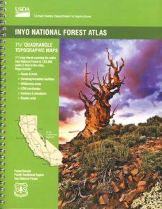
see also –Inyo Forest Topo Atlas
inyotopoatlaa

find more Eastern Sierra maps:

Ansel Adams Wilderness Maps
Bishop Pass Map
Bodie Ghost Town Map
Death Valley Park Maps
Devil’s Postpile Map
Dome Land Wilderness Map
Golden Trout Wilderness Maps
Hoover Wilderness Map
Jawbone Canyon OHV Map
JMT – John Muir Trail Map
Kern River Maps
Kings Canyon Highcountry Map
Mammoth High Country Map
Mono Divide Topo Map
Mono Lake Map
Mount Whitney Maps
NatGeo Mammoth Map #809
Palisades Trail Map
Toiyabe National Forest Map

Pacific Crest Trail Mapspct
PCT Map #3 South Sierra
PCT Map #4 Mid Sierra

EASTERN SIERRA LINKS:

Campgrounds Eastern Sierra
Camping Inyo
Eastern Sierra Hiking
Eastern Sierra Lakes
Inyo Forest Roads
June Lake Loop #1S63
Lundy Lake
Mammoth Fishing
Mono Lake, California
Onion Valley
Rock Creek Road
Silver Lake @ June
Walker Creek Olancha
Walker Lake Hike
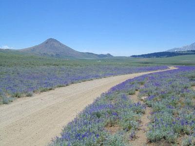
lupineway

Lupine Way – Coyote Flat, W of Bishop, CA

NEARBY TOWNS:

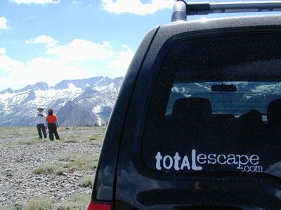
highsierra SUV

The High Sierra @ 10,000′ elevation, by SUV

avenzabar

digital maps for download

BLM Map – Alabama Hills Recreation Area (free)
Mammoth Mountain Topographic Map
NatGeo Map 809 – Mammoth Lakes, Mono Divide
Convict Lake Topographic Map
CTUC Inyo National Forest (north) OHV Map
CTUC Inyo NF (south) OHV Map
Inyo MVUM – Monache Mdws, South Fork Kern River (free)
Inyo MVUM – Inyo Mountains Map (free)
Inyo MVUM – Bald Mountain Mono (free)
Inyo MVUM – White Mountains Map (free)
Inyo MVUM – Glass Mountain Map (free)
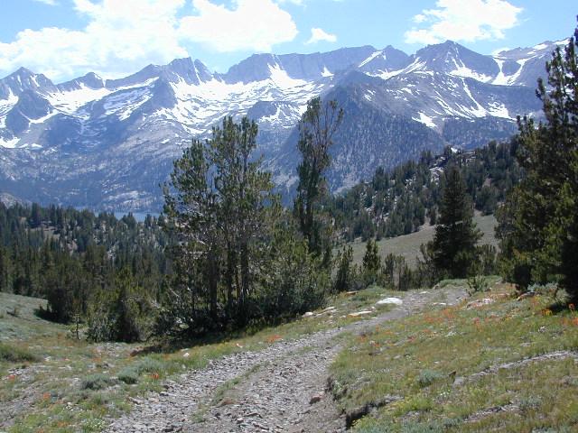
inyohighroads

Upper Baker Creek Road, 4×4 Camping
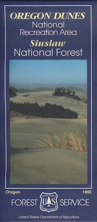
Oregon Dunes Map

Oregon Dunes Map

2022 – IN STOCK

oregon dunes map
Oregon Dunes Map

2022 currently this map is unavailable on Amazon; might still be found at local ranger stations

Sand Dunes NRA, Siuslaw National Forest, Oregon

Oregon Sand Dunes – Camping on the Oregon coast.
Florence OR, Oregon Dunes Campgrounds

4x4 mapsOregon Dunes National Recreation Area Map, Siuslaw National Forest Oregon, Oregon Dunes NRA, OR Beaches, Oregon coast map. Oregon Dunes Camping, off-road, OHV, ATV. Lagoon Campground, Driftwood II Campground, Goose Pasture, Siltcoos Beach. Westlake, Florence OR, Reedsport, Coos Bay Oregon Maps. Printed in paper in 1995

Oregon Dunes Map

see also – 

Rogue River National Forest Map
Rogue River Float Guide
Six River National Forest Map
Siskiyou Map
Smith River Map
Coastal Maps for California 

Baja California Maps

Baja Road Trip Map
Baja California Mexico

Baja Road Trip Map

Benchmark Baja California
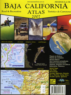
Road & Recreation Atlas

Baja Map Mexico

New atlas for Baja California MX, created by Benchmark Maps.
Released MAY 2021

Baja Map Mexico

old baja almanacDecent printed Baja Maps are always hard to come by. If you are seeking a hard copy Baja Road Trip Map, then the links below may help you find one.
Historic Baja Almanac >

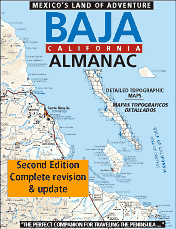
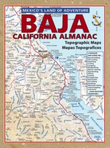
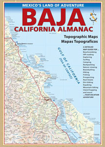
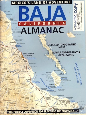
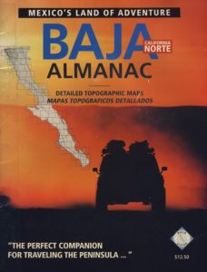
Landon’s legacy will always live on with the amazing map that he created; published between 1997-2009. The Baja California Almanac is regarded as the best topographical map of the Baja California peninsula. This map book has been out of print since 2010 and finding one on eBay or Amazon is often difficult.

baja trail mapLandon S. Crumpton (RIP) * dirt biker turned map maker

baja foldout map

OLD fold-out MAP

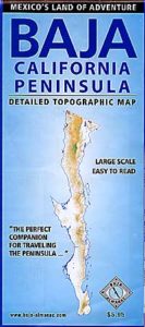
This smaller Baja fold out map was a once-off map publication that was printed in the mid-2000s, but it is impossible to find now. Originally selling for a mere $5.95, they were quickly outta stock and never to be seen again.

Furthermore, if you are seeking to travel Baja California in depth, may we suggest a GPS unit; and downloading the more relevant, digital maps over at Baja GPS Guide. They have newer digital maps for this region. Claiming to be the most detailed map of Baja, Copper Canyon, and mainland Mexico. NOTE: must own a compatible GPS for this map. BAJA & MEXICO E32 TOPO MAP

baja maps

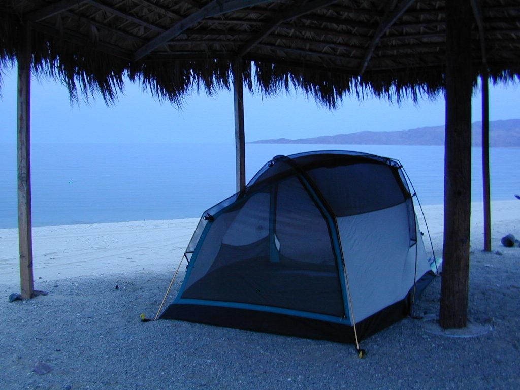
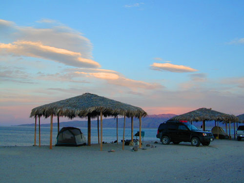
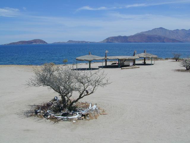
Gonzaga Bay, Baja California Mexico

Explore Baja: Petroglyphs, Back Roads, Surf Spots, Fishing Maps, Off Road Routes, Mountains, Deserts, Camping, Beaches, Sea of Cortez; in particular, these popular favorite south-of-the-border destinations Guadalupe Canyon Hot Springs and Mikes Sky Ranch

Several notable Baja California towns:camp maps

baja California atlas

OUT OF PRINT

4x4 maps

Surf Baja Road Trip Map

Surf Baja California


National Geographic makes Baja Maps!

maps of Baja California

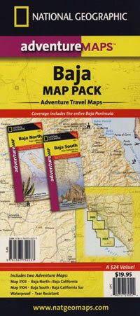
Baja Road Trip Maps (2 pack) by NatGeo

Baja Almanac

Baja California Almanac Map

The Biggest & Best Baja California Topo Atlas

Baja Almanac Map

baja almanac 2021This map covers both top and bottom of the peninsula: Baja Norte (NORTH) & Baja Sur (SOUTH), BC Mexico

Baja Almanac PDF?

2021 UPDATE:
available for free, in a PDF download from
baja-almanac.com


NOTE: every so often these printed map books can be found on eBay or Amazon,or elsewhere online usually commanding a high for price tag for a “used copy”

Baja Almanac 2003

Baja Almanac 2003

Baja Almanac – by Landon S. Crumpton

Mexico Maps – Both Northern & Southern Baja California in one atlas. The Best Maps of Baja, period! Excellent resource while traveling in Mexico. If you plan on driving deep into Baja and really exploring back roads, hidden coves, surf spots, deserts, petroglyphs… this is the map to have.

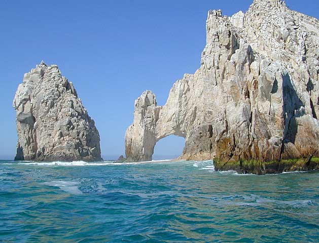
Lands End

baja california almanac

2009 edition (large format)

This version was the largest format ever printed on this map, detailing every inch of Mexico’s Baja California peninsula. Thinner and larger means less page flipping. With over 10,000 entries, the Baja Almanac lets you pinpoint any location in Baja, down to the most remote ranch or campsite. Published 2009. ISBN# 9780965866347

  • Larger Size: 10.75″ wide x 15.25″ tall
  • Printed on 70lb Paper with Matte Finish, a crisper, more defined presentation
  • Adjoining Map Overlap, each map displays an overlapping segment of adjoining map pages
  • Updated Land Routes & Cultural Features
  • Complete Indexes, Mileage Chart and Primary Route Distance in both miles & kilometers
baja maps

OLDER VERSION

baja norte

REAL OLD VERSION

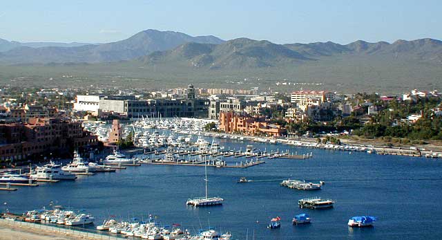
CSL Marina

CABO SAN LUCAS MARINA

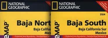
NatGeo makes waterproof hard-copy maps of the the Baja Peninsula.

see –bajamapsnatgeo
National Geographic Baja Maps


baja maps


gonzagabay

Gonzaga Bay, Baja California

Bay of L.A.

Bay of L.A.(aka Bay of Los Angeles) Baja California

Catavina

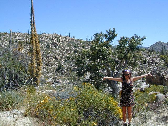
DanaMite @ Catavina, B.C. Mexico