Mokelumne Wilderness Maps

Mokelumne Maps

Mokelumne sits in between Carson Pass (Hwy 88) and the Ebbetts Pass (Hwy 4) – a vast Sierra mountainous area, south of Lake Tahoe. With high elevation passes that are usually closed more than half the year due to deep snow, this area becomes summer vacation haven for outdoor seekers. Mokelumne Wilderness Maps can show you the details for picnics, day hikes, trailheads, backpacking routes, horse packing trail camps, alpine lakes, reservoirs and the Mokelumne River.

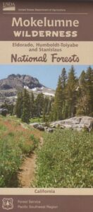
Mokelumne Map USDA

mokelumne map USDA

Mokelumne Wilderness is located in the Central Sierra Nevada mountains, above the Gold Country foothills, in between Hwy 88, 89 and 4; due south of Lake Tahoe. Fish, mountain bike, kayak, camp, backpack, horseback. It is all out here in gorgeous-ville. Lakes and peaks, rivers and creeks. All of this beauty and adventure waiting for you, but only accessible half the year (or less) – due to snow. Certain areas are designated Hiking Mapfor winter recreation, cross country skiing and snowmobiling.

Mokelumne is bordered by 3 National Forests, in the middle of the Sierra Nevada mountain range: Stanislaus NF, El Dorado NF & Toiyabe NF.
 

Mokelumne Map

PREVIOUS EDITION MAP

Hiking Topo Map
Mokelumne Wilderness Map
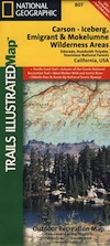
#807 NatGeo

National Geographic produces high quality topo maps with Trails Illustrated. High elevation, outdoor recreation highlights, trailhead parking, all roads, all trails, all campgrounds, peaks, lakes. GPS info. Full color, 2 sided map. Map 807
Topo Maps Mokelumne

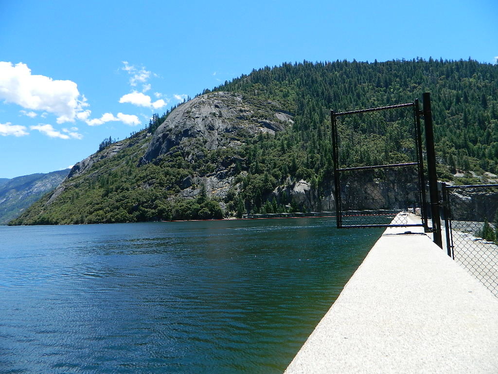
Salt Springs Reservoir

Mokelumne Wilderness

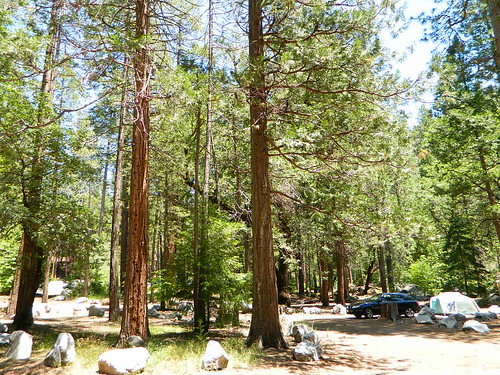
Bordering the wilderness lands for day hikes and car camp on the outskirts. Plenty of dirt road in this region will lead to dispersed camp sites. Or do a backpacking week, or a horse pack adventure – deep into the untouched wild country of the Sierra Nevada mountains.

towns nearby:
Camgrounds Maps

Free Camgrounds in the Sierra

see also –

National Forest Maps

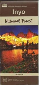
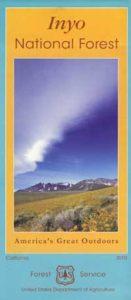
Inyo National Forest Map

Inyo Map

Inyo National Forest Map

Eastern Sierra Map, Inyo Map, Mt Whitney, Bishop Wilderness
NFS – USDA – U.S. Forest Service

USDA maps created for the National Forest Service. GPS: Longitude & Latitude; Rivers, Creeks, Peaks, Elevations, 4WD & every dirt BackRoad, Hot Springs, Equestrian Areas, all Campgrounds, Hiking Trails & Backpacking Trailheads.NFS

Areas include: Eastern Sierra, Range of Light, Owens Valley, Hwy. 395, Bishop, Lone Pine, Lee Vining, Independence, Mammoth, June Lake, East Yosemite, Mount Whitney, Mono Basin, White Mtns, Ancient Bristlecone Pine Forest, Monache Mdws, Golden Trout Wilderness, Cottonwood Lakes, Sierra Lakes, Mono Lake, John Muir Trail & JM Wilderness, Ansel Adams Wilderness, Lake Crowley, Hot Springs, Rock Creek, Inyo Mtns, Kennedy Mdws, South Sierra Wilderness.

inyoinyoNF

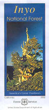
inyo2002

older version

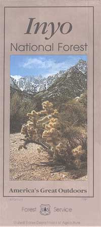
INYO_mountains

paper map from 1993


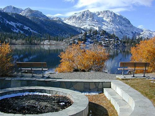
gull_lake

Gull Lake, next to June Lake in the Eastern Sierra

giganta
Eastern Sierra California
Inyo National Forest

Wilderness Areas in Eastern California:

White Mountains
Ancient Bristlecone Pines
John Muir Wilderness
Ansel Adams Wilderness
Hoover Wilderness
Yosemite EAST Wilderness
Fish Slough, N Bishop, CA
Piper Mountain Wildernesshiker
Kings Canyon High Country
Golden Trout Wilderness
South Sierra Wilderness
Inyo Mountains Wilderness

Inyo Hiking, off road, 4×4, Eastern Sierra, Mount Whitney, John Muir, Ansel Adams, Sierra Lakes, Inyo National Forest Topo Maps, Topographical Inyo Map, Eastern Sierra, Olancha Peak, Lone Pine, Alabama Hills, Whitney, Mammoth, June Lake, Rock Creek, Lee Vining, Bishop, Baker Creek, Sabrina, Palisades Glacier, Onion Valley, Independence, Coyote Flat, High Sierra Lakes, Eastern California

walkerlake

Hike-in only, Walker Lake @ June Lake Loop

see also –Inyo Forest Topo Atlas
inyotopoatlaa

find more Eastern Sierra maps:

Ansel Adams Wilderness Maps
Bishop Pass Map
Bodie Ghost Town Map
Death Valley Park Maps
Devil’s Postpile Map
Dome Land Wilderness Map
Golden Trout Wilderness Maps
Hoover Wilderness Map
Jawbone Canyon OHV Map
JMT – John Muir Trail Map
Kern River Maps
Kings Canyon Highcountry Map
Mammoth High Country Map
Mono Divide Topo Map
Mono Lake Map
Mount Whitney Maps
NatGeo Mammoth Map #809
Palisades Trail Map
Toiyabe National Forest Map
Pacific Crest Trail Mapspct
PCT Map #3 South Sierra
PCT Map #4 Mid Sierra

EASTERN SIERRA LINKS:

Campgrounds Eastern Sierra
Camping Inyo
Eastern Sierra Hiking
Eastern Sierra Lakes
Inyo Forest Roads
June Lake Loop #1S63
Lundy Lake
Mammoth Fishing
Mono Lake, California
Onion Valley
Rock Creek Road
Silver Lake @ June
Walker Creek Olancha
Walker Lake Hike

lupineway

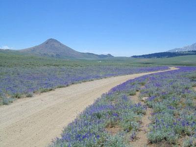
Lupine Way – Coyote Flat, W of Bishop, CA

NEARBY TOWNS:

highsierra SUV

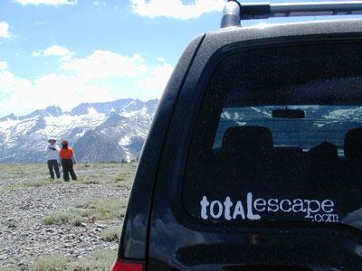
The High Sierra @ 10,000′ elevation, by SUV

avenzabar

digital maps for download

BLM Map – Alabama Hills Recreation Area (free)
Mammoth Mountain Topographic Map
NatGeo Map 809 – Mammoth Lakes, Mono Divide
Convict Lake Topographic Map
CTUC Inyo National Forest (north) OHV Map
CTUC Inyo NF (south) OHV Map
Inyo MVUM – Monache Mdws, South Fork Kern River (free)
Inyo MVUM – Inyo Mountains Map (free)
Inyo MVUM – Bald Mountain Mono (free)
Inyo MVUM – White Mountains Map (free)
Inyo MVUM – Glass Mountain Map (free)

inyohighroads

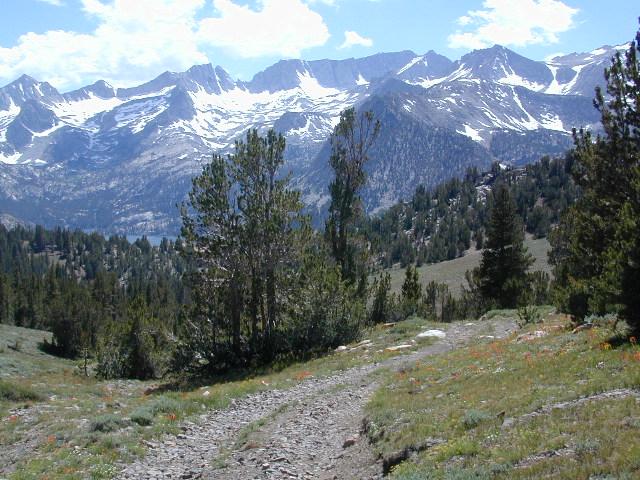
Upper Baker Creek Road, 4×4 Camping

Inyo Forest Topo Atlas

High Sierra Topo Map
Eastern Sierra Nevada, California

Inyo National Forest Atlas

Inyo topo atlas

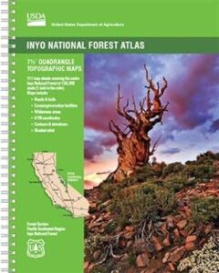
fishing mapThe INYO atlas, is a spiral bound book – a collection of all the quads. (7.5 minute topographical maps, of all of Inyo National Forest) Both sides of US Highway 395! From Olancha to Yosemite, Bodie ghost town to Darwin near Death Valley. This book map has detailed topo lines, mountain peaks, streams, lakes, hot springs, hiking trails & back roads. Perfect for all kinds of recreational needs. 117 pages. Printed in 2014. ISBN# 9781628114058

south_lake

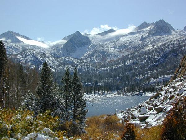
South Lake near Bishop CA

see also –

Inyo National Forest Map
Mount Whitney Maps
Death Valley Maps
Bishop Pass Map
Palisades Trail Map
Mammoth Highcountry Map
Mammoth Mono Trail Map
Ansel Adams Wilderness Map
John Muir Wilderness Map
Fishing Maps for California

regional towns:inyo topo map

Inyo National Forest NFS

cottonwoodcampsite
Cottonwood Lakes and Horseshoe Meadow, an alternate hiking approach to Mount Whitney

hikers map

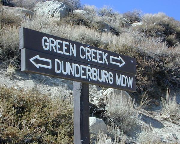
dunderberg

Inyo National Forest QUADS:
from south to northhorse trail maps

Inyo back roads Maps

Inyo back roads, 4×4 routes and hiking trailheads

Inyo National Forest Topo Maps, Topographical Inyo Map, Eastern Sierra, Olancha Peak, Lone Pine, Alabama Hills, Whitney, Mammoth, June Lake, Rock Creek, Lee Vining, Bishop, Sabrina, Palisades Glacier, Onion Valley, Independence, Coyote Flat Lake

Inyo Forest Topo Maps

Lake Mead Map

Lake Mead Map

Lake Mead Map #204

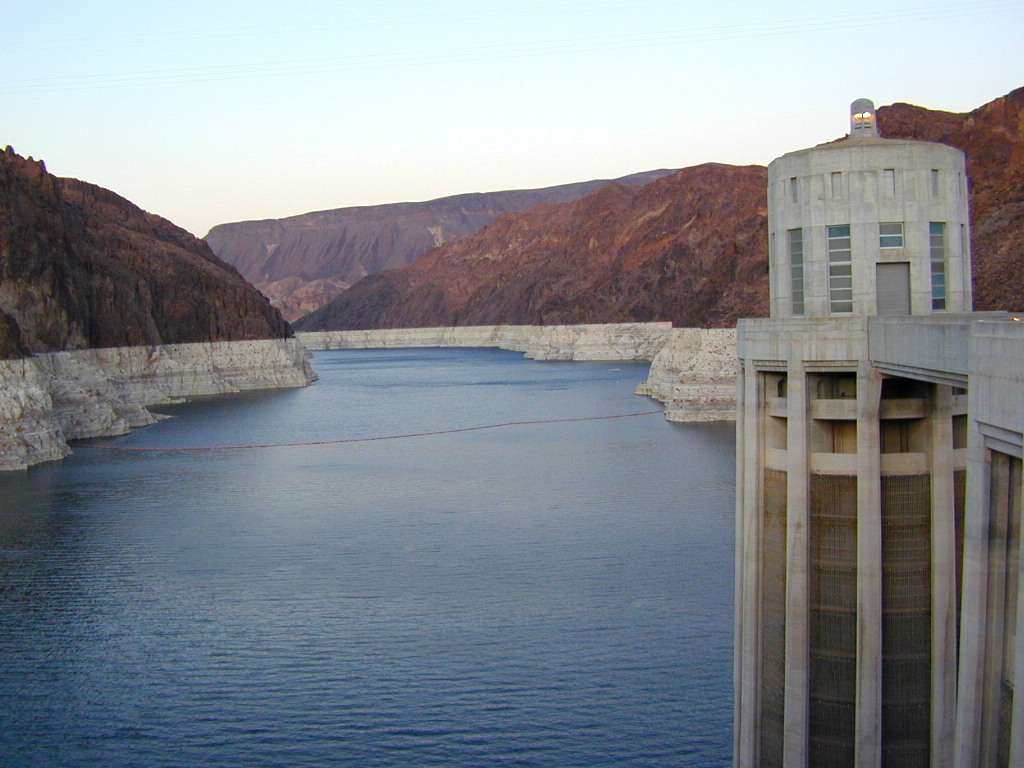
Hoover Dam, Lake Mohave, Las Vegas Nevada
Colorado River Camping, Lake Mead NRA

NatGeo Trails Illustrated Lake Mead Map #204 Las Vegas Hiking Trails, NV Vegas Camping. National Geographic Lake Mead National Recreation Area, Nevada.

Valley of Fire State Park, River Mountains Loop Trail, Gold Butte, Bitter Springs Backcountry Byway, Colorado River Camping, Hoover Dam, Muddy Mountain Wilderness, Lake Mohave, Princess Cove, Ireteba Peaks Wilderness BLM, Cottonwood Cove, Black Mountains BLM AZ, Eldorado Canyon, Eldorado Wilderness, Pinto Valley Wilderness, Spirit Mountain Wilderness.

Backcountry roads, OHV, dirt roads, hiking trails, desert lakes, river trails, fishing, boating, boat launches, houseboating, coves, camping, campgrounds, RV sites, all roads and highways,  GPS Compatible, Full UTM Grid. Waterproof Map. ISBN# 9781566954006

lakemead

Lake Mead Map

Lake Mead Map

OutThere

lake mohave

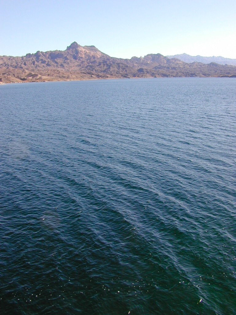
Lake Mohave is below the Hoover Dam

Lake Mead Map

boat ramp

Lower Colorado Basin

Lower Colorado River Operations

U.S. Bureau of Reclamation

Hoover Dam has hike-in hot springs? You betcha.
travelnevada.com/hot-springs/gold-strike-hot-spring/

Lake Mead is a man-made lake that lies on the Colorado River, 25 miles from the Las Vegas Strip, in the states of Nevada and Arizona. It is the largest reservoir in the United States in terms of water capacity. Formed by the Hoover Dam on September 30, 1935, the reservoir serves water to the states of Arizona, California, and Nevada, as well as some of Mexico, providing sustenance to nearly 20 million people and large areas of farmland.

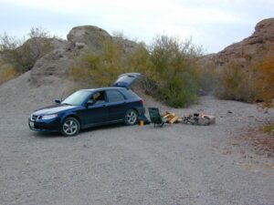
Lake Mohave is quieter, water is cleaner; features an undeveloped shoreline; off road trails and primitive camping in coves. Bring your own firewood, as there is no forest left in this desert.

saabmohave

deepwashes

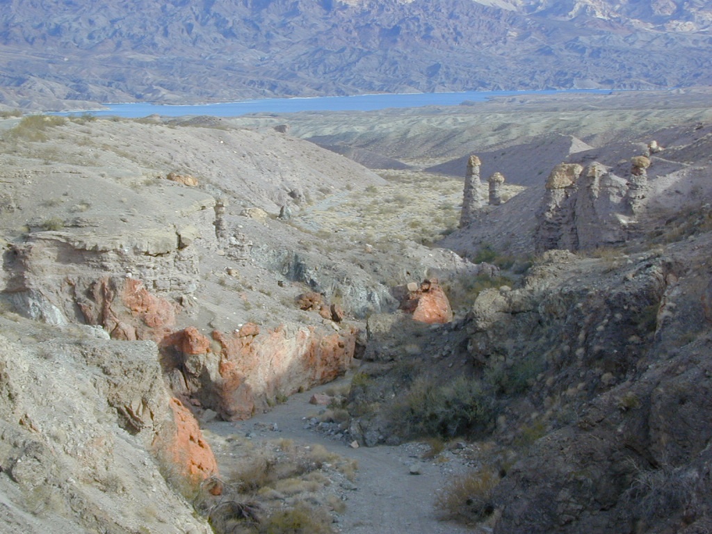
Lake Mohave Deep Washes

other Nevada parks nearby –

El Dorado Canyon

Red Rock Canyon

Mount Charleston

Valley of Fire State Park 

Valley of Fire

Valley of Fire State Park, Las Vegas, NV

picnic

newbridge

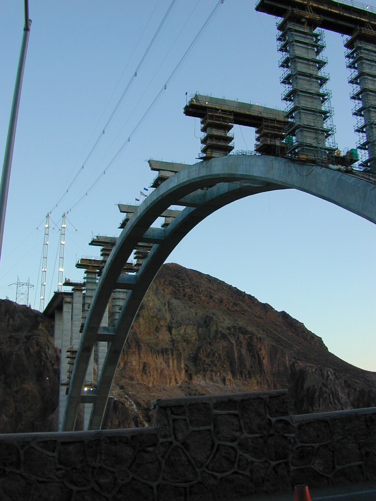
2009 building the new highway bypass bridge, over the Hoover Dam

see also – 

Grand Canyon National Park Map
Flagstaff Sedona Map
Red Rock Las Vegas Map
Zion National Park Map