Ansel Adams Wilderness Map

Ansel Adams Map USDA
USDA Ansel Adams

Ansel Adams Wilderness, part of Inyo NF and Sierra NF

This High Sierra terrain spans some of the most majestic areas of the Sierra Nevada – the youngest mountain range in the U.S. This wilderness is bordered by National Parks, National Forests, and other Wilderness Areas – all the way around it. Kaiser Wilderness and Lake Edison inside Sierra NF on the west, Yosemite National Park on the north, Inyo NF on the east side, and John Muir Wilderness on the south end. Wow!

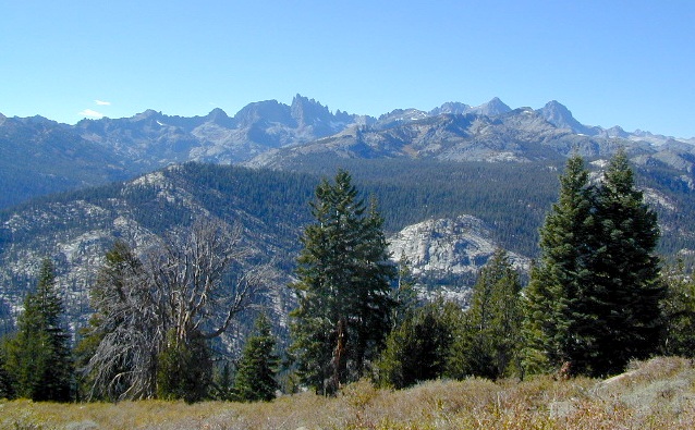
This 230,300 acre, high elevation wilderness was formerly the Minarets Wilderness, renamed in 1984 to honor the pioneering landscape photographer, Ansel Adams. Known for spectacular alpine scenery, elevations range from 7,000 to 14,000 feet. Rugged granite peaks and passes, with alpine lakes, includes high country east of the Sierra crest. Pacific Crest Trail and John Muir Trail cross this High Sierra Wilderness region.

This USDA map is also available at Ranger Stations.

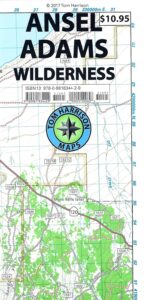
Perfect for packing and hiking references, fishing lakes, creeks, high altitude camp sites, horse packing routes, or extended backpacking adventures. Map Scale = 1″ to mile; Printed on waterproof plastic paper. Updated in 2011. ISBN# 9781593515188
minarets

see also –

Ansel Adams Trail Map

Ansel Adams Wilderness Trail Map
by Tom Harrison Topo Maps
Eastern Sierra Trail Map

OLDER EDITION

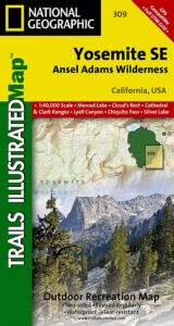
NatGeo Ansel Adams
Map #309
Yosemite SE

NatGeo Map

Ansel Adams Trailhead locations include –

Eastern Sierra: Lee Vining, June Lake, Mammoth Lakes, CA

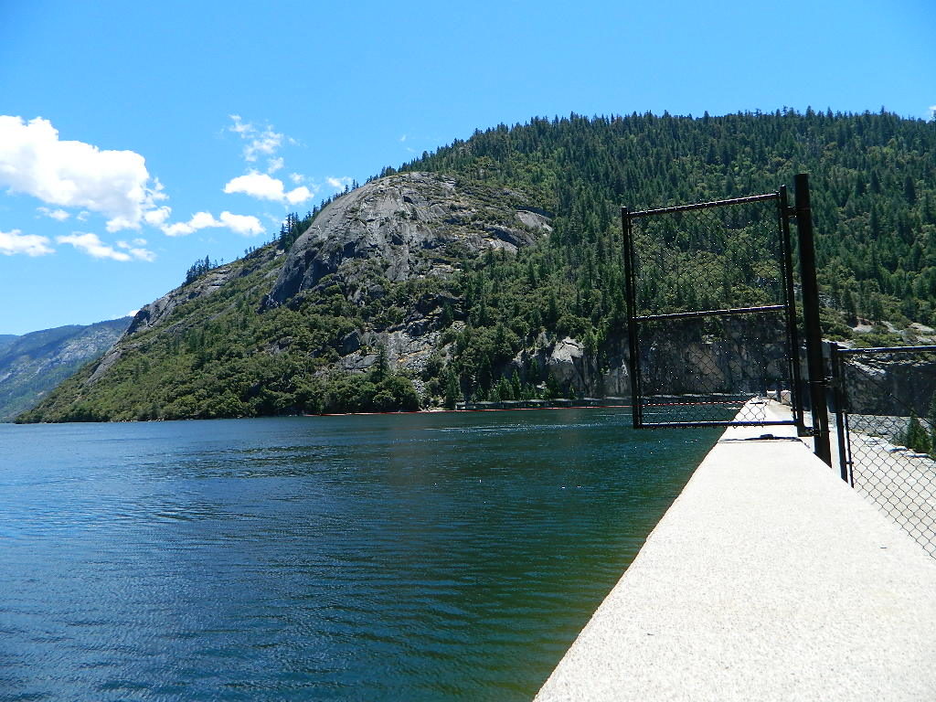
Western Sierra: Edison Lake (pictured below), Huntington Lake, Shaver Lake, Clover Meadow, Mammoth Pool Reservoir, NorthFork via Bass Lake and Yosemite National Park.
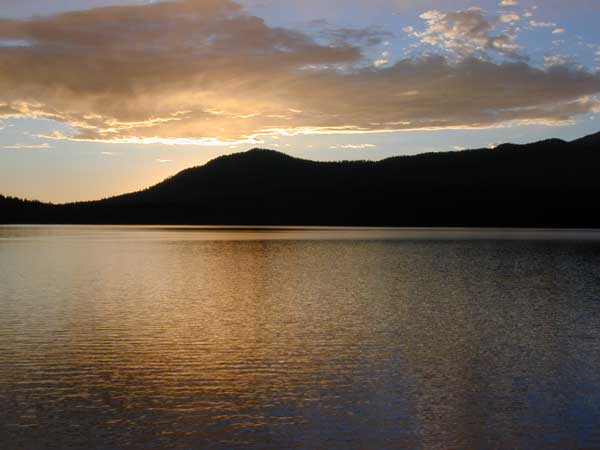
Edison Lake

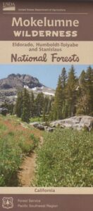
Mokelumne Wilderness Maps

Mokelumne Maps

Mokelumne sits in between Carson Pass (Hwy 88) and the Ebbetts Pass (Hwy 4) – a vast Sierra mountainous area, south of Lake Tahoe. With high elevation passes that are usually closed more than half the year due to deep snow, this area becomes summer vacation haven for outdoor seekers. Mokelumne Wilderness Maps can show you the details for picnics, day hikes, trailheads, backpacking routes, horse packing trail camps, alpine lakes, reservoirs and the Mokelumne River.

Mokelumne Map USDA

mokelumne map USDA

Mokelumne Wilderness is located in the Central Sierra Nevada mountains, above the Gold Country foothills, in between Hwy 88, 89 and 4; due south of Lake Tahoe. Fish, mountain bike, kayak, camp, backpack, horseback. It is all out here in gorgeous-ville. Lakes and peaks, rivers and creeks. All of this beauty and adventure waiting for you, but only accessible half the year (or less) – due to snow. Certain areas are designated Hiking Mapfor winter recreation, cross country skiing and snowmobiling.
Mokelumne is bordered by 3 National Forests, in the middle of the Sierra Nevada mountain range: Stanislaus NF, El Dorado NF & Toiyabe NF.


Mokelumne Map

PREVIOUS EDITION MAP

Hiking Topo Map
Mokelumne Wilderness Map
#807 NatGeo

National Geographic produces high quality topo maps with Trails Illustrated. High elevation, outdoor recreation highlights, trailhead parking, all roads, all trails, all campgrounds, peaks, lakes. GPS info. Full color, 2 sided map. Map 807

Topo Maps Mokelumne

Salt Springs Reservoir

Mokelumne Wilderness

Bordering the wilderness lands for day hikes and car camp on the outskirts. Plenty of dirt road in this region will lead to dispersed camp sites. Or do a backpacking week, or a horse pack adventure – deep into the untouched wild country of the Sierra Nevada mountains.

towns nearby:

Camgrounds Maps

Free Camgrounds in the Sierra

see also –

National Forest Maps

Rogue River Guide Book

Rogue River Map Booklet

Rogue River Guiderogue river guide

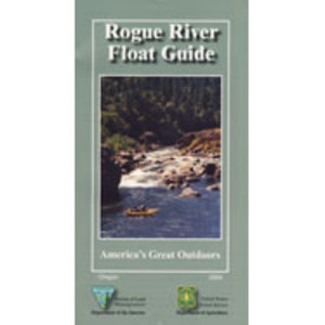
Tubing Oregon – Rogue River. Raft, float, paddle, camp, fish or hike.

Float tube, kayak, river rafting details for southern Oregon’s Rogue River. Every rapid, every camp site, every creek, swimming holes, fishing spots, mile by mile; Well laid out visual maps & information in this handy booklet. Printed on paper in 2004. BLM & USFS printing.

2022 currently unavailable on Amazon; might still be found at local ranger stations

Rogue River Map Book, Oregon Float Guide, Tubing
Kayak, Raft, Creek, BLM, USFS, USDA

fish

Rogue River Float Guide

Rogue River Float Guide Booklet (USFS & BLM)

canoe

Rogue River National Wild and Scenic River

hiker

Rogue River in located within the state of Oregon, just above the state line of California. Flowing westward, the river joins the Pacific Ocean at Gold Beach, Oregon.

The Rogue River in southwestern Oregon flows about 215 miles in a generally westward direction from the Cascade Range to the Pacific Ocean. Known for its salmon runs, whitewater rafting, and rugged scenery, it was one of the original eight rivers named in the Wild and Scenic Rivers Act of 1968.

Beginning near Crater Lake, which occupies the caldera left by the explosive volcanic eruption and collapse of Mount Mazama, the river flows through the geologically young High Cascades and the older Western Cascades, another volcanic province.

Further west, the river passes through multiple exotic terranes of the more ancient Klamath Mountains. In the Kalmiopsis Wilderness section of the Rogue basin are some of the world’s best examples of rocks that form the Earth’s mantle. Near the mouth of the river, the only dinosaur fragments ever discovered in Oregon were found in the Otter Point Formation, along the coast of Curry County.

Rogue River Float Guide

see also –

Rogue River National Forest Map
Red Buttes Wilderness Map
Columbia River Map
Oregon Dunes Map 
PCT Map #7 Southern Oregon
PCT Map #8 Northern Oregon

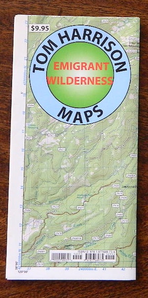
Emigrant Wilderness Trail Map

Emigrant Wilderness Trail Map
Tom Harrison Maps

Tom Harrison Trail Map: Emigrant Wilderness Trail Map, Sonora Pass Map, Sierra Nevada; Kennedy Meadows, CA. Pinecrest Lake, Dodge Ridge, Relief Reservoir, Leavitt Lake, Leavitt Meadows, The Dardanelles, Eagle Meadows; Sonora River fishing, Dardanelle CA. Durable, waterproof plastic map; Folded. Map Scale: 63.4K; ISBN# 9780989457910

emigrant

previous map

Emigrant Wilderness Map

Central Sierra Backpacking Trails:

Sonora Pass to Yosemite Highcountry

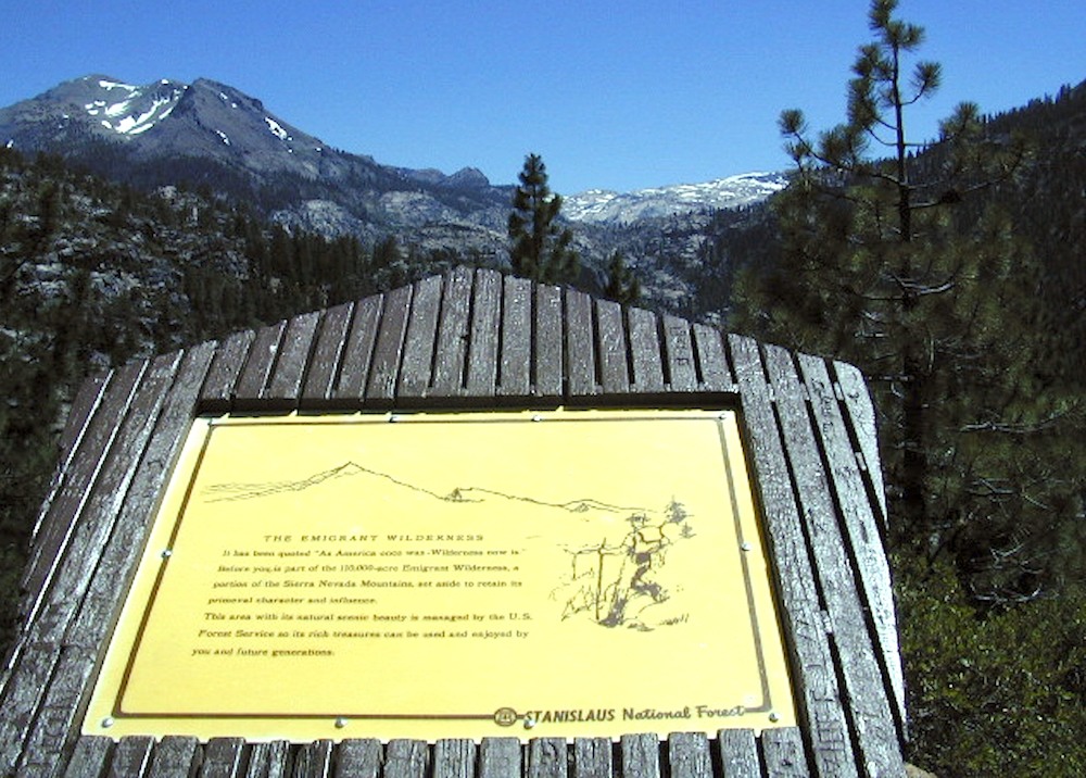
Backcountry access, hiking trails, horseback riding, cross country skiing, deep snow (over half the year), alpine lakes, granite peaks, creek canyon forests.

From Cherry Lake (4700′), Lake Eleanore (4657′) or Hetch Hetchy (3900′), up river, northward, wilderness routes up hill to Sonora Pass. Cherry Creek, Kendrick Creek, Bourland Creek, Lily Creek, Bell Creek, Herring Creek.

Pinecrest Lake (5616′), Emigrant Lake (8827′), Buck Lakes (8315′), Huckleberry Lake. Pacific Crest Trail (PCT) at Emigrant Pass, Grizzly Peak (10,365′), Sonora Pass (9625′) Highway 108

Backpacking trailheads are located at these places:

Cherry Lake @ Kibbie RidgeEmigrant Wilderness Trail Map

near Pinecrest Lake –

  • Bourland Creek @ Route #3N20Y
  • Lily Creek @ Route #3N28
  • Bell Meadow @ Route #4N25
  • Gianelli Cabin & Crabtree Route #4N34 (behind Donner Ridge Ski)
  • Three Meadows @ Route #4N12

near Dardanelle – 

  • Donnell Vista Point
  • Columns of the Giants
  • Seven Pines
  • Kennedy Meadows

Hoover Wilderness located directly to the east of Emigrant Wilderness.

Stanislaus National Forest

Yosemite National Park 

nearby towns:Emigrant Wilderness Trail Map

"<yoastmark

see also –

Hoover Wilderness Map

Yosemite Maps by National Geographic
Yosemite Topo Maps by Tom Harrison
Stanislaus National Forest Map
Stanislaus Forest Atlas