Red Rock Canyon Map

Red Rock Canyon Map

Spring Mountains
Red Rock Canyon
Vegas Hiking Map

Red Rock BLM Map

Spring Mountains National Recreation Area / Red Rock Canyon National Conservation Area / Las Vegas District BLM

Red Rock Canyon Map – VEGAS RED ROCK: BLM & USFS paper map includes a few parks and hiking trails near Las Vegas, NV. Humboldt Toiyabe National Forest, BLM lands, Spring Mountains National Recreation Area, plus the very popular attraction, Red Rock Canyon (only minutes outside of the city). Nevada Travel Outdoors. USDA National Forest Map. Printed on paper in 1997.

Red Rock Canyon Map

Red Rock Canyon Maps

Red Rock Canyon Map

Franko Map Vegas

hikers map

best vegas outdoors

One of the cheapest winter vacations around – ONLY IF you can stay outta the casinos!

Desert day hikes, snow play, waterfalls (Mt Charleston) and petroglyphs (Valley of Fire), plus cheap hotel at night. Make VEGAS an outdoor destination, instead of an indoor, air-conditioned fantasy land.

camp map

Camping near Las Vegas can be windy during any time of year, or brutal triple-digit heat during the summer months.

Red Rock BLM Campground is located in a very windy location and situated near a busy main road. Best bet is to camp further up the mountain (Mount Charleston) – up in the canyons, with the trees, for a better experience. It can be colder in higher elevations, so always bring a jacket (at any time of year).

LOCALS TIP:
Valley of Fire State Park actually has a much better Campground than Red Rock. 
Vegas Hiking Map

see also –

Lake Mead Map
Flagstaff Sedona Map
Grand Canyon Maps
Mojave National Preserve Map
Death Valley Park Maps
Desert Maps
Eastern Sierra Maps
Arizona Books & Maps
Utah Maps

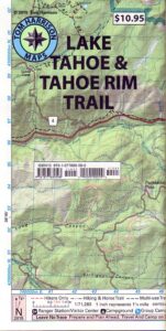
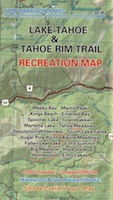
Tahoe Rim Trail Map

Tahoe Tom Harrison Map
Tahoe Rim Trail Map

Lake Tahoe Recreation Map
by Tom Harrison MapsTahoe Rim Trail Map

California’s Jewel of the Sierra

Tahoe Rim Trail Topo Map: Lake Tahoe Recreation Map, Tahoe Topo Maps, Hiking Trails Backpacking Maps, Lake Tahoe Hikes; Meeks Bay, Martis Peak, Tahoe Rim Trail, King Beach, Emerald Bay, Granlibakken, Spooner Lake, Martlett Lake, Tahoe Meadows, Desolation Wilderness Trails, Sugar Pine Point, South Lake Tahoe, Alpine Meadows, Fallen Leaf Lake Hiking Trails. Durable, waterproof plastic map; Folded. Map Scale: 72K; ISBN# 9781877689598

Tahoe Rim Trail Map

PREVIOUS EDITION

digital maps download digital versions of this map

Tahoe Rim Trail Maps
Lake Tahoe Rim Trail Map (East/NV)
Lake Tahoe Rim Trail Map (West/CA)

driftwood

hikers mapTRT

The Tahoe Rim Trail is 165 miles of single-track trail that circum-navigates perimeter of Lake Tahoe, CA.  while passing through 2 states, 6 counties, one state park, 3 national forests, and 3 wilderness areas. Forty-nine miles overlap with the Pacific Crest Trail. A network of additional trails connects to this popular rim trail.

Elevations along the trail range from 6,300′ at Tahoe City to 10,338′ at the top of Relay Peak. Numerous creeks and lakes, ridges and meadows, conifer forests, scree slopes and alpine terrain with wildflowers.

wildflowerThere are 10 official trailheads that access the eight trail segments which form a continuous loop in the mountains above the lake. The segments range from 12.2 to 32.5 miles in length. Unofficial entry points also provide a means of getting onto the trails. Trail conditions are best during the usually snow-free months of July through October, and the height of the wildflower bloom is usually July and August.
National Geographic Maps also makes a trail map for Tahoe Rim Trail.
TAHOE RIM TRAIL NG

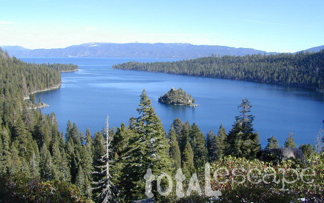
Lake Tahoe Rim Trail, Sierra Nevada, California

  • day hikes
  • mountain bike
  • backpacking
  • horseback trails
  • meadows
  • wildflowers

Tahoe Rim Trail Map

see also –

Tahoe National Forest Maps
Tahoe Topo Atlas
Tahoe Basin USDA Map
Lake Tahoe Maps
4×4 Routes Tahoe Map

Lake Mead Map

Lake Mead Map

Lake Mead Map #204

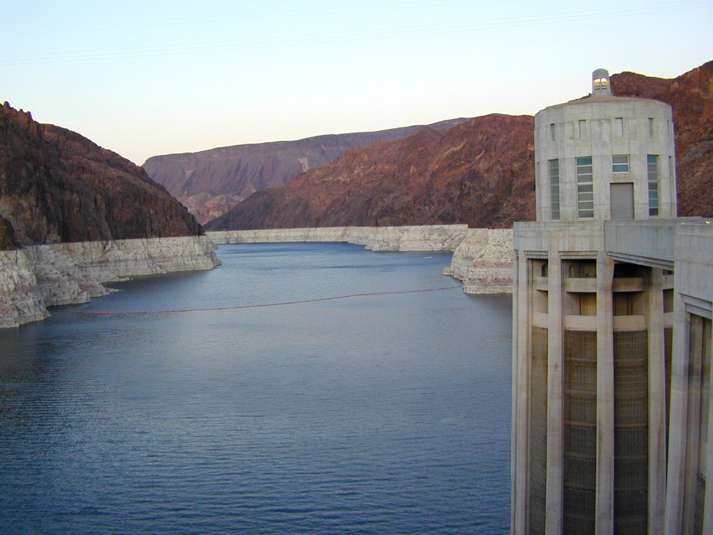
Hoover Dam, Lake Mohave, Las Vegas Nevada
Colorado River Camping, Lake Mead NRA

NatGeo Trails Illustrated Lake Mead Map #204 Las Vegas Hiking Trails, NV Vegas Camping. National Geographic Lake Mead National Recreation Area, Nevada.

Valley of Fire State Park, River Mountains Loop Trail, Gold Butte, Bitter Springs Backcountry Byway, Colorado River Camping, Hoover Dam, Muddy Mountain Wilderness, Lake Mohave, Princess Cove, Ireteba Peaks Wilderness BLM, Cottonwood Cove, Black Mountains BLM AZ, Eldorado Canyon, Eldorado Wilderness, Pinto Valley Wilderness, Spirit Mountain Wilderness.

Backcountry roads, OHV, dirt roads, hiking trails, desert lakes, river trails, fishing, boating, boat launches, houseboating, coves, camping, campgrounds, RV sites, all roads and highways,  GPS Compatible, Full UTM Grid. Waterproof Map. ISBN# 9781566954006

lakemead

Lake Mead Map

Lake Mead Map

OutThere

lake mohave

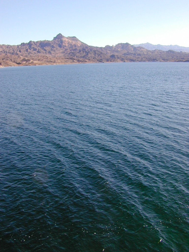
Lake Mohave is below the Hoover Dam

Lake Mead Map

boat ramp

Lower Colorado Basin

Lower Colorado River Operations

U.S. Bureau of Reclamation

Hoover Dam has hike-in hot springs? You betcha.
travelnevada.com/hot-springs/gold-strike-hot-spring/

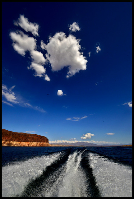
Lake Mead is a man-made lake that lies on the Colorado River, 25 miles from the Las Vegas Strip, in the states of Nevada and Arizona. It is the largest reservoir in the United States in terms of water capacity. Formed by the Hoover Dam on September 30, 1935, the reservoir serves water to the states of Arizona, California, and Nevada, as well as some of Mexico, providing sustenance to nearly 20 million people and large areas of farmland.

Lake Mohave is quieter, water is cleaner; features an undeveloped shoreline; off road trails and primitive camping in coves. Bring your own firewood, as there is no forest left in this desert.

saabmohave

deepwashes

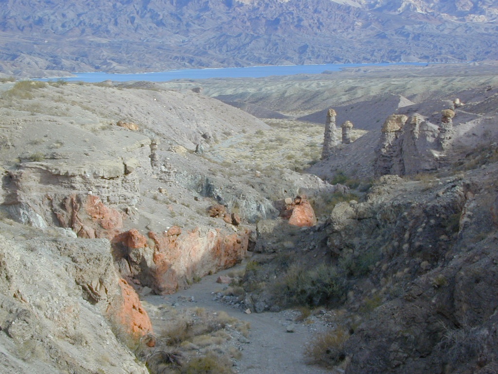
Lake Mohave Deep Washes

other Nevada parks nearby –

El Dorado Canyon

Red Rock Canyon

Mount Charleston

Valley of Fire State Park 

Valley of Fire

Valley of Fire State Park, Las Vegas, NV

picnic

newbridge

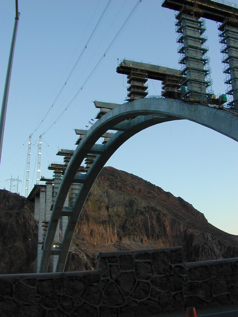
2009 building the new highway bypass bridge, over the Hoover Dam

see also – 

Grand Canyon National Park Map
Flagstaff Sedona Map
Red Rock Las Vegas Map
Zion National Park Map