Crystal Basin Silver Fork Map

Crystal Basin Map
Crystal Basin & Silver Fork
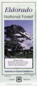
of Eldorado NF
NatGeo Map # 806

Loon Lake, Central Sierra Nevada Maps

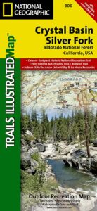
hikers mapTrails Illustrated Map from National Geographic. Crystal Basin / Silver Fork Map inside El Dorado National Forest map #806. 4×4 routes for the Rubicon Trail – all the way to Tahoe. Loon Lake, Union Valley Reservoir, Ice House Reservoir. Auburn State Recreation Area (Auburn SRA) and Carson – Emigrant Historic National Recreation Trail. Pony Express National Historic Recreation Trail.

Mountain bike trails, backpacking routes, equestrian and hiking trail mileage. High country map. Many rivers, roads and trails to explore. 2-sided map. Very detailed & colorful. Waterproof Plastic Map; Tear Resistant. GPS data. Scale = 1:63,360 ISBN#9781566952644
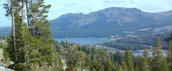
Silver Lake @ Carson Pass

Crystal Basin Silver Fork

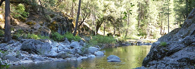
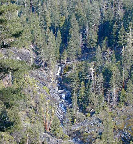
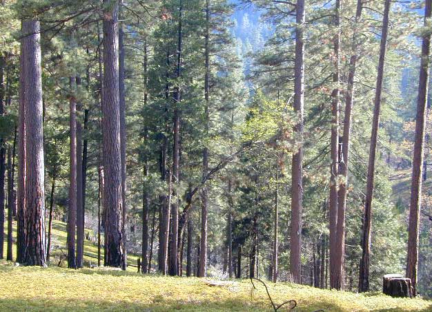
The Crystal Basin spreads over 85,000 acres north of Highway 50 and west of Desolation Wilderness. Wonderful views of the Crystal Range extends north along the ridge from prominent Pyramid Peak (9963′ elev), Mount Price, Red Peak, and Silver Peak.

The Crystal Basin Recreation Area is a joint development between the Sacramento Municipal Utility District and the National Forest Service. SMUD operates a series of reservoirs and hydroelectric powerhouses which furnish energy to the Sacramento area.

Plasses

see also –

Carson Iceberg Wilderness Map
Desolation Wilderness Trail Map
Eldorado National Forest Map
Gold Country Maps

Mokelumne Wilderness Maps

Mokelumne Maps

Mokelumne sits in between Carson Pass (Hwy 88) and the Ebbetts Pass (Hwy 4) – a vast Sierra mountainous area, south of Lake Tahoe. With high elevation passes that are usually closed more than half the year due to deep snow, this area becomes summer vacation haven for outdoor seekers. Mokelumne Wilderness Maps can show you the details for picnics, day hikes, trailheads, backpacking routes, horse packing trail camps, alpine lakes, reservoirs and the Mokelumne River.

Mokelumne Map USDA

mokelumne map USDA

Mokelumne Wilderness is located in the Central Sierra Nevada mountains, above the Gold Country foothills, in between Hwy 88, 89 and 4; due south of Lake Tahoe. Fish, mountain bike, kayak, camp, backpack, horseback. It is all out here in gorgeous-ville. Lakes and peaks, rivers and creeks. All of this beauty and adventure waiting for you, but only accessible half the year (or less) – due to snow. Certain areas are designated Hiking Mapfor winter recreation, cross country skiing and snowmobiling.

Mokelumne is bordered by 3 National Forests, in the middle of the Sierra Nevada mountain range: Stanislaus NF, El Dorado NF & Toiyabe NF.


Mokelumne Map

PREVIOUS EDITION MAP

Hiking Topo Map
Mokelumne Wilderness Map
#807 NatGeo

National Geographic produces high quality topo maps with Trails Illustrated. High elevation, outdoor recreation highlights, trailhead parking, all roads, all trails, all campgrounds, peaks, lakes. GPS info. Full color, 2 sided map. Map 807

Topo Maps Mokelumne

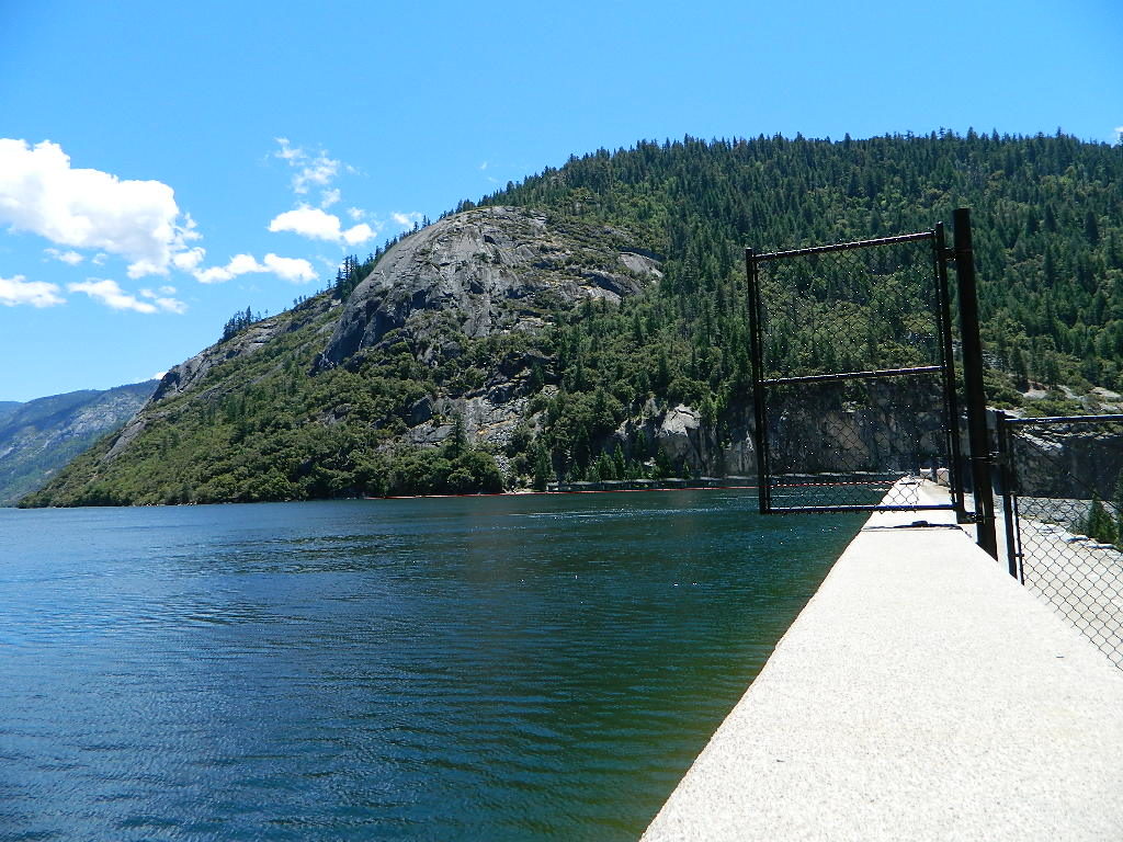
Salt Springs Reservoir

Mokelumne Wilderness

Bordering the wilderness lands for day hikes and car camp on the outskirts. Plenty of dirt road in this region will lead to dispersed camp sites. Or do a backpacking week, or a horse pack adventure – deep into the untouched wild country of the Sierra Nevada mountains.

towns nearby:

Camgrounds Maps

Free Camgrounds in the Sierra

see also –

National Forest Maps

El Dorado National Forest Map

El Dorado
National Forest Map

Eldorado National Forest Map / El Dorado Camping
Eldorado National Forest Dispersed Camping Map

El Dorado NF

Eldorado National Forest Map
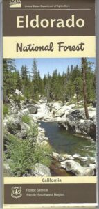
USGS map California: Northern Sierra, Gold Country, Mokelumne Wilderness, South Lake Tahoe.PAPER MAP. Ranger Map – NFS issued map. GPS: Longitude & Latitude; Rivers, Creeks, Peaks, Elevations, 4WD & every dirt Back Road, Hot Springs, Equestrian Areas, all Campgrounds, Hiking Trails & Backpacking Trailheads.camp map

Areas include: Northern Sierra, Gold Country, Mokelumne Wilderness, Desolation Wilderness, South Lake Tahoe, Lower Bear River Reservoir, Silver Lake, Caples Lake, Lake Aloha, Union Valley Reservoir, Cosumnes River, American River, Jenkinson Lake, Crystal Basin and Rubicon Lake and Rubicon Trail. Quality USDA maps created for the National Forest Service. Map Size: 27″x 36″ overall / 4″x9″ folded; Printed on paper un 2015. ISBN# 9781593514921

Gold Country Mountains, California

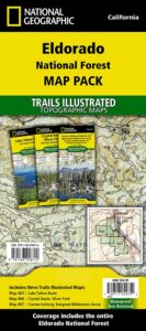
NatGeo is now making a map package with 3 colorful, waterproof maps for the El Dorado forest region. What a deal!!

eldorado map pak

El Dorado Forest

Sierra Rivers Map

California: Sierra Rivers

EldoradoNF

OLD PAPER MAP

see also –

Mokelumne Wilderness Map
Desolation Wilderness Maps
Stanislaus National Forest Map
Toiyabe National Forest Maps
Tahoe Basin Map
Tahoe National Forest Map
Tahoe Rim Trail Map
Lake Tahoe Topo Atlas
4×4 Trail Tahoe Map

Eldorado National Forest Map

Central Sierra Mountains / Gold Country Foothills : El Dorado National Forest

hikers mapWilderness areas near El Dorado Forest:

Mokelumne Wilderness
Desolation Wilderness

Granite Chief Wilderness
Red Lake Wildlife Area

nearby towns:

driftwood

Eldorado National Forest Camping Maps

grizzly flat forest


Rock Creek OHV Map

OUTTA PRINT
[NO LONGER AVAILABLE]

Gold Country Trails
El Dorado National Forest
Rock Creek OHV Map

Older Rock Creek off-road map had a new name and was split into 2 maps. Gold Country Foothills OHV. This forested area is just west of the 4×4 Rubicon Trail and very popular among the off roaders and equestrian riders.

Eldorado Travel Opportunity Guide (North)
Georgetown @ Rubicon

Eldorado Travel Opportunity Guide (South)
Amador & Placerville

rock creek OHV

OLD VERSION

Rock Creek OHV inside El Dorado National Forest, Georgetown Ranger District. Multi-use recreation area near the central Sierra Nevada Gold Country. Darlington Ridge Mountains, Quintette, Bear Creek Road, Bald Mountain Canyon, Mace Mill, Dutch Canyon, One-Eye Creek Trail, Wentworth Springs, Balderson Corral, Dru Barner Campground. This RockCreek is on the western side of the Sierra Nevada range, not to be confused with the Eastern Sierra Rock Creek, N of Bishop, CA

USDA, waterproof, topographic map with hiking, equestrian and off road trails. Dirt bikes, quads, 4×4 rigs. OHV routes, creeks, rivers, trailheads, back roads and one campground. Georgetown hikes. hiking. Waterproof plastic. Scale 1:29,816 / GPS shown in degree minute format.

nearby towns –

You may need to really search to find a 4WD map for this area.

Below is a good overview map, a topo map, a link to local books, for the Gold Country region of California

Gold Country Books

Gold Country 2000