Eastern Sierra Books

Eastern Sierra Books

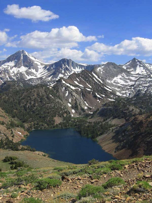
Flower Lake, Eastern Sierra Nevada Mountains

Eastern Sierra Books
Mount Whitney, Bishop Hikes, Rock Creek, Mammoth Lakes, June Lake & Mono Lake

Eastern Sierra Books

Eastern Sierra Books

Eastern Sierra Books

Eastern Sierra Books

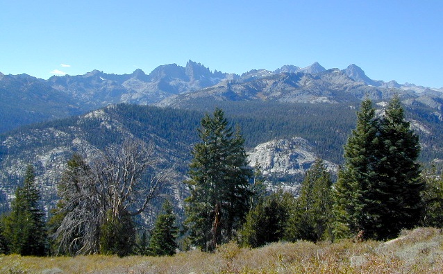
The Eastern Sierra is a region in California comprising the eastern side of the Sierra Nevada, which includes Mono and Inyo Counties. The main thoroughfare is US Highway 395, which passes through Bridgeport, Lee Vining, Bishop, Big Pine, Independence, Lone Pine, and Olancha, with Bishop being the largest city in the area. It is sparsely populated but well known for its scenery; major points of interest include Mono Lake, Bodie, Mammoth Lakes, Manzanar, and parts of Yosemite National Park and Death Valley National Park.

Mountain Peaks above 14,000 feet elevation: Mount Whitney, Williamson, North Palisade, Sill, Russell, Split, Langley, Tyndall, Muir, Middle Palisade.

Wilderness Areas: Ansel Adams, Bright Star, Chimney Peak, Domeland, Emigrant, Golden Trout, Hoover, John Muir, Mount Rose, Owens Peak, Owens River Headwaters, Sacatar Trail, Sequoia-Kings Canyon, Yosemite

Eastern Sierra Books

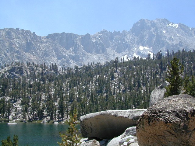
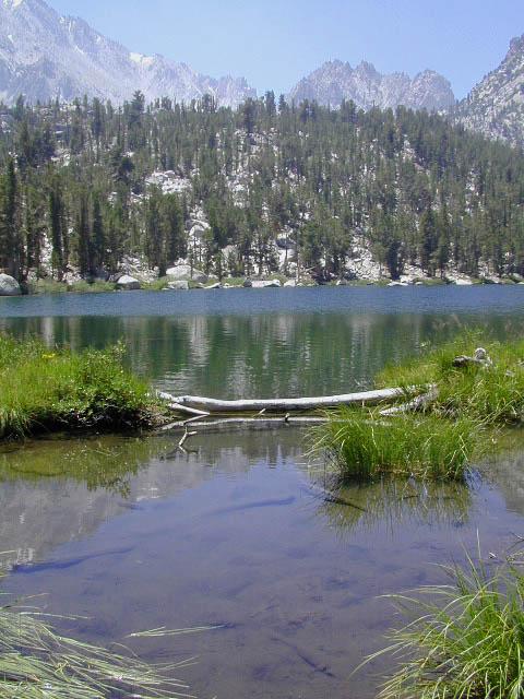
High Sierra Lakes – Day Hikes

Eastern Sierra Maps:

hiker

Eastern Sierra Destinations:

Mammoth Lakes & Mono Divide Map

Mammoth Mono Map
NatGeo Map #809

Mammoth Lakes Map
Mammoth Lakes & Mono Divide Map

Trails Illustrated Map from National Geographic. Mammoth Lakes & the Sierra Nevada Mono Divide on one map #809. This map covers areas inside Inyo National Forest & Sierra National Forest.

Many know the Eastern Sierra & US Hwy 395, but few know about the Mono Divide, deep in the majestic Sierra Nevada, way up behind Mammoth Lakes.  Mono Hot Springs, Highway 168, back beyond Huntington Lake & Kaiser Pass. Florence Lake, Edison Lake, Vermillion Camp.

Only on foot connects the Western Sierra with the steep granite ridges and deserts on the east side.

Ansel Adams Wilderness, Dinkey Lakes Wilderness. The Minarets, Devils Postpile National Monument. Hike PCT, John Muir Trail. Sierra Nevada High Country Hiking Map. Many alpine lakes to fish, hike and explore in the wilderness – the high country. Very detailed & colorful. Waterproof Plastic Map; Tear Resistant. GPS data. Printed 2010. ISBN# 9781566952668

Convict Lake w/ dogs

Mammoth Lakes, Mono Divide High Country, Topographic Maps, Topo, Hike, Backpack, Fishing, Camping, Mountain Bike, Trail Maps, All Outdoor Recreation

nearby towns:

minarets

The Minarets @ Mammoth

see also –

Devils Postpile Trail Map
Mono Divide High Country Map
Ansel Adams Wilderness Maps
John Muir Wilderness Maps
Inyo National Forest Map USDA
Sierra National Forest Map USDA

Lake Genevieve

Lake Genevieve