Mokelumne Wilderness Maps

Mokelumne Maps

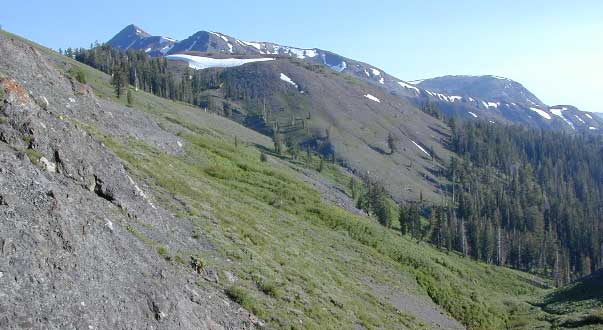
Mokelumne sits in between Carson Pass (Hwy 88) and the Ebbetts Pass (Hwy 4) – a vast Sierra mountainous area, south of Lake Tahoe. With high elevation passes that are usually closed more than half the year due to deep snow, this area becomes summer vacation haven for outdoor seekers. Mokelumne Wilderness Maps can show you the details for picnics, day hikes, trailheads, backpacking routes, horse packing trail camps, alpine lakes, reservoirs and the Mokelumne River.

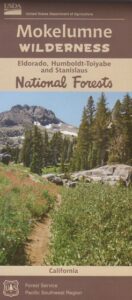
Mokelumne Map USDA

mokelumne map USDA

Mokelumne Wilderness is located in the Central Sierra Nevada mountains, above the Gold Country foothills, in between Hwy 88, 89 and 4; due south of Lake Tahoe. Fish, mountain bike, kayak, camp, backpack, horseback. It is all out here in gorgeous-ville. Lakes and peaks, rivers and creeks. All of this beauty and adventure waiting for you, but only accessible half the year (or less) – due to snow. Certain areas are designated Hiking Mapfor winter recreation, cross country skiing and snowmobiling.

Mokelumne is bordered by 3 National Forests, in the middle of the Sierra Nevada mountain range: Stanislaus NF, El Dorado NF & Toiyabe NF.
 

Mokelumne Map

PREVIOUS EDITION MAP

Hiking Topo Map
Mokelumne Wilderness Map
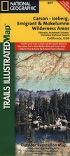
#807 NatGeo

National Geographic produces high quality topo maps with Trails Illustrated. High elevation, outdoor recreation highlights, trailhead parking, all roads, all trails, all campgrounds, peaks, lakes. GPS info. Full color, 2 sided map. Map 807
Topo Maps Mokelumne

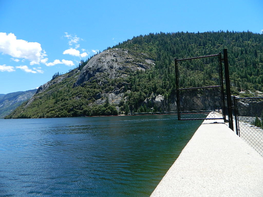
Salt Springs Reservoir

Mokelumne Wilderness

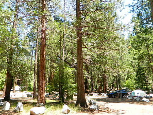
Bordering the wilderness lands for day hikes and car camp on the outskirts. Plenty of dirt road in this region will lead to dispersed camp sites. Or do a backpacking week, or a horse pack adventure – deep into the untouched wild country of the Sierra Nevada mountains.

towns nearby:
Camgrounds Maps

Free Camgrounds in the Sierra

see also –

National Forest Maps

San Jacinto Wilderness Trail Map

San Jacinto Trail Map
Mt San Jacinto Map
Tom Harrison

Tahquitz Peak / Idyllwild Mountains / Palm Springs

Mount San Jacinto Map. Southern California

Tahquitz Peak Climb, Tom Harrison Trail Map: San Jacinto Wilderness CA; Mount San Jacinto State Park Idyllwild Camping Backpacking; San Jacinto Peak, Palm Springs Hiking. Durable, waterproof plastic map; Folded. Map Scale: 42K; ISBN# 9781877689437

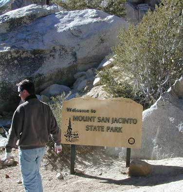
San Jacinto Peak, also known as Mount San Jacinto, is a 10,834 foot mountain peak in the San Jacinto Mountains, in Riverside County, California. Lying within Mount San Jacinto State Park it is the highest both in the range and the county, and serves as the southern border of the San Gorgonio Pass.

San Jacinto Map

OLD VERSION

To the east the peak towers over the city of Palm Springs (elevation 479′); to the west, it borders the mountain community of Idyllwild (elevation 5,413′). The steep escarpment of its north face, above Snow Creek, climbs over 10,000′ in 7 miles. This is one of the largest gains in elevation over such a small horizontal distance in the contiguous United States.

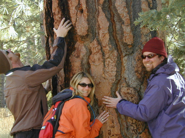
tree huggers

Tram Ride to the Top

Tram Ride to the Top

Take the Tram

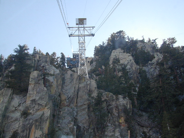
San Jacinto Peak is easily accessible, as many trails penetrate the Santa Rosa and San Jacinto Mountains National Monument. One popular route starts with a ride on the Palm Springs Aerial Tramway from Valley Station at 2,643′ feet near Palm Springs up to Mountain Station at 8,516′. From there, one can easily climb the mountain face via trails.

Another route is to hike the Marion Mountain Trail near the mountain town of Idyllwild, off Highway 243. The Cactus to Clouds Trail involves an arduous climb of approximately 10,700′ feet from the desert floor in Palm Springs to the summit. This trail has no water sources until 8,500′, so early starts are advised to avoid the temperatures which often soar above 100°F.

San Jacinto Mountains National Monument
San Jacinto State Park
San Jacinto Wilderness

SanJacinto SP

see also –

San Bernardino National Forest Map 
San Bernardino Forest Atlas
San Gorgonio Wilderness Trail Map

PCT Map #4 Mid Sierra

USDA PCT Map 4
PCT Map #4 Central Sierra Nevada Mountains

Le Conte to Lake Tahoe

Pacific Crest Trail National Scenic Trail
PCT – Hiking Map 4

USDA PCT Map 4

ALPINE LAKES, everywhere!

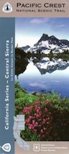
Sierra Nevada Mountains, spanning from Le Conte Canyon to Barker Pass, on the west side of Lake Tahoe. Kings Canyon National Park northward to Lake Tahoe. Covers most of the High Sierra (N of Whitney) and so much more; from Bishop Pass, Mammoth Lakes, Yosemite National Park, Sonora Pass, Emigrant Wilderness, Ebbetts Pass, Carson Pass, and then overlook the massive mountain lake known as Tahoe. USDA, Large fold out map, durable waterproof paper w/ sturdy cardboard cover. ISBN# 9781593514716

USDA PCT Map 4
USDA PCT Map 4

LOCALS TIP: If you must hike only ONE SECTION of the PCT, then this one stretch, LE CONTE to LAKE TAHOE, is by far the best for high altitude beauty.  Granite peaks, passes, total alpine lake bliss, with incredible mountain scenery. When you must limit your big adventure trek, due to time constraints, this portion is some of the most beautiful high elevation terrain in the whole darn nation. Seriously. Better than a movie!

Services like grocery, laundromats, hotels, restaurants, post office, available in SLT (South Lake Tahoe). Postal, food & lodging can be had in numerous locations along certain high country routes – like Vermillion Resort @ Lake Edison. The PCT guide books give good descriptions of these handy trailheads with services, in way more detail.

USDA PCT Map 4

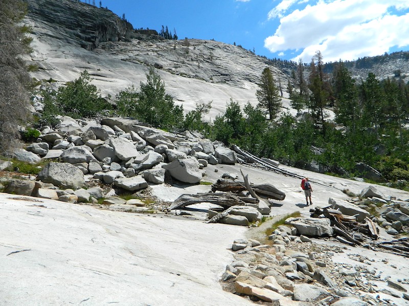
Yosemite Granite

see also –
Kearsarge Pass Trail Map
Kings Canyon Highcountry Map
Sequoia Kings NP Maps
Mono Divide Highcountry
Mammoth & Mono Map by NatGeo
Mono Lake Map
Yosemite Maps by NatGeo
Yosemite Maps by Tom Harrison
Emigrant Wilderness Map
Toiyabe National Forest Map
Hoover Wilderness Map
Lake Tahoe Maps

USDA PCT Map 4

Carson Iceberg Wilderness

Mount San Gorgonio Maps

Big Bear Maps:
San Gorgonio Wilderness

San Gorgonio Trail Map
Mount San Gorgonio MapsTom Harrison Maps

Mount San Gorgonio Maps

Mount San Gorgonio Maps, San Gorgonio Trail Map. Tom Harrison Trail Map: Big Bear Hiking, San Gorgonio Wilderness CA; Mount San Gorgonio; Old Gray Back, Grayback, Greyback, Big Bear Area: Durable, waterproof plastic map; Folded. Map Scale: 48K; ISBN# 9781877689529

San Gorgonio Wilderness Map, Backpacking Big Bear, Hiking, Hike Gorgonio, Topo Gorgonio, Mount San Gorgonio; Old Gray Back, Grayback, Greyback, Big Bear Area

Mount San Gorgonio Maps

Mount San Gorgonio Maps


San Gorgonio Map USDA
Big Bear Wilderness Hikes

San Gorgonio Wilderness

USDA, waterproof topographic map of San Gorgonio Wilderness in the San Bernardino National Forest. Big Bear hikes, camping, backpacking. Heartbar Campground, Forest Falls, Gorgonio trailheads, Southern California hiking. Waterproof plastic. Updated 2010. ISBN# 9781593514945

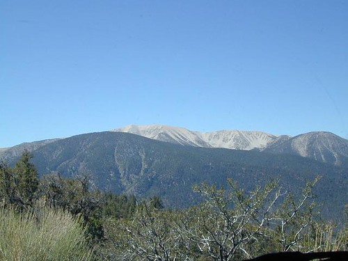
Old Grayback

San Bernardino Maps

Mount San Gorgonio Maps

Mount San Gorgonio Maps

see also –

San Bernardino National Forest Map
San Bernardino Forest Atlas
San Bernardino Mountains 

Mount San Jacinto Maps

Angeles Maps
San Gabriel Mountains Map


PCT Trail Maps Mount San Gorgonio Maps