Carson Iceberg Wilderness Map USDA
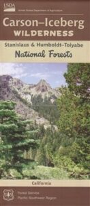
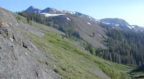
Carson-Iceberg Wilderness is part of the Stanislaus and the Humboldt-Toiyabe National Forests, in the Central Sierra.
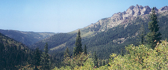
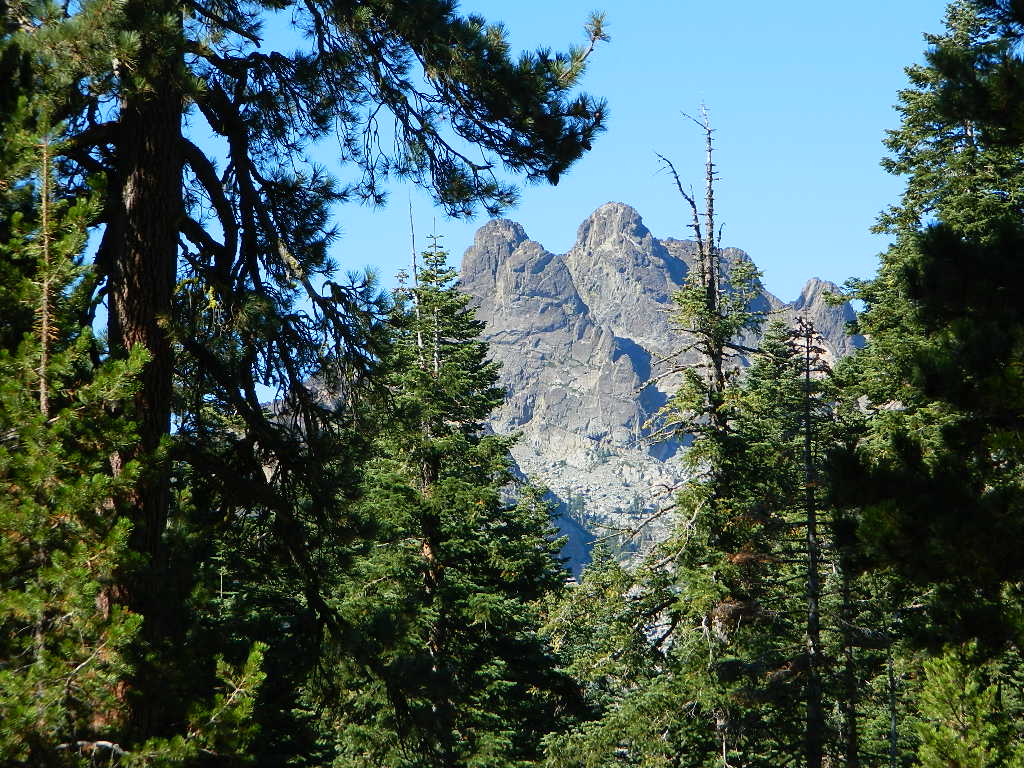
This area of wilderness mountains extends from Ebbetts Pass to Bear Valley on both sides of Highway 4, and south to Sonora Pass Highway 108. Volcanic Sierra Nevada in California. Areas include Union Reservoir, Utica Reservoir, Highlands Lakes, the Dardanelles, Carson River, Stanislaus River, Wolf Creek, Silver Creek, Sonora Pass (Pacific Crest Trail details) PCT hiking. Perfect for a day hike reference, kayaking lakes, rivers, fishing lakes, creeks, primitive camp sites on back roads, or extended backpacking adventures. Map Scale = 1″ to mile; Contour Interval 100 Feet. Printed on waterproof plastic paper. Updated in 2016. ISBN# 9781628114140
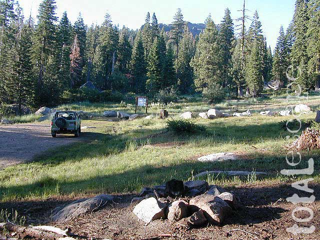
Carson Iceberg Trailhead @ County Line
High elevation trailhead from Highland Lakes Campground
OLDER VERSION of USDA map
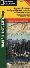
NatGeo Map #807 Carson Iceberg
Carson Iceberg Wilderness Map
Carson-Iceberg, Emigrant & Mokelumne Wilderness
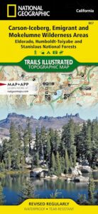
National Geographic make this Trails Illustrated Trail Map that covers 3 different Wilderness areas inside the Central Sierra Nevada mountains – Carson Iceberg Wilderness, Emigrant Wilderness, Mokelumne Wilderness. Trailheads, campgrounds, river, creeks, peaks, and alpine lakes. Backpack, camp, climb, fish, and hike. Basically, all the recreation destinations in this region. These regions are CLOSED for snow during winter months and usually only accessible during the summer period.
NatGeo Map# 807. Trails Illustrated. GPS Compatible, Full UTM Grid. Waterproof ISBN# 9781566952651
see also –
Stanislaus National Forest Map
Stanislaus Forest Atlas
Gold Country Maps
Emigrant Wilderness Maps
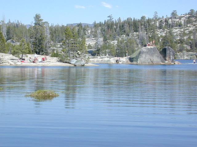
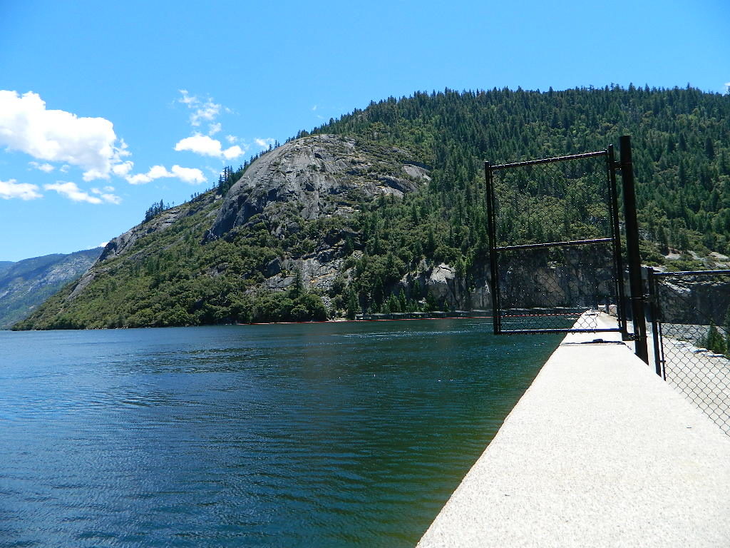
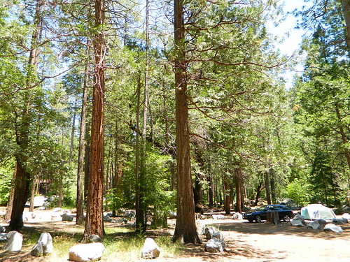
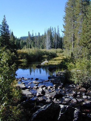
Utica Reservoir is accessed via dirt road
 for winter recreation, cross country skiing and snowmobiling.


 nearby towns: