Channel Islands Map

Channel Islands Map

Channel Islands Map
NatGeo #252
California Islands Map
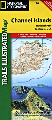
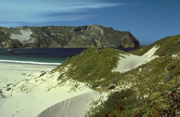
Several islands exist off the coast of California. Catalina Island is by far the most popular, but not included on this map. Some refer to these as the Santa Barbara Islands, since they are out near the Santa Barbara Channel.

Many islands are inaccessible, but the Channel Islands are indeed a National Park – reachable only by boat or by air – from the Ventura coastline. Advanced reservations will be needed to book a boat trip or a flight to the islands.

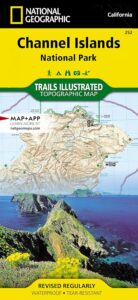
hikers mapTrails Illustrated Map from National Geographic. Channel Islands National Park Map #252. Santa Barbara coast channel islands, California. Diving, Snorkeling, Swimming Beaches, Kayaking, Boating, Camping & Hiking Map.

Very detailed & colorful. Waterproof Plastic Map; Tear Resistant. GPS data. Published in 2019. ISBN# 9781566954105

  • backpack
  • camp
  • dive
  • fish
  • hike
  • kayak
  • swim
  • snorkle 
Channel Islands Map

PREVIOUS VERSION

Located off the California shore, the Channel Islands are home to many unique species of flora and fauna. National Geographic’s Trails Illustrated Map covers (with unparalleled detail) the 5 islands that encompass the park, including The Nature Conservancy area of Santa Cruz Island and the State Marine Reserve Areas that surround the islands. Provides background information of the park and of each individual island along with its regulations and guidelines. In addition, information regarding transportation to the islands is given, as well as land (hiking), water (swimming, snorkeling and diving) and boating / kayaking safety warnings.

Each of the islands is shown with a trail guide, listing trail start and destination points, distances and difficulty. Trails are mapped with mileage markers and coded according to trail type. Island roads, which can also be used use for hiking, are shown as well. An inset map of the Scorpion Area provides extra detail of this popular area. The map includes contour lines, elevations, labeled peaks, selected waypoints, water features and areas of wooded cover. Moreover, many recreation features and facilities are pinpointed, such as ranger stations, campgrounds, restroom, picnic areas and historic buildings.

Other features on this map include: Anacapa Passage, Channel Islands National Park, Encino Reservoir, Franklin Canyon Reservoir, Laguna Point, Point Dume, San Fernando Valley, San Miguel Island, San Miguel Passage, Santa Barbara Island, Santa Cruz Channel, Santa Cruz Island, Santa Monica Mountains, Santa Rosa Island, Sepulveda Dam, Stone Canyon Reservoir.

see also –
Big Sur Maps
Los Padres West by NatGeo

Shaver Lake Map

Shaver Lake
Sierra NF NatGeo Map #810

Shaver Lake is located in the Central Sierra, on the west side of the range, way up above Fresno, CA. Numerous alpine lakes and wilderness trailheads can be accessed via Highway 168 and the side route of Dinkey Creek Road. They even have a Sequoia Grove up here!

Shaver Lake Map, Huntington Lake, Sierra National Forest maps from National Geographic. 4×4 routes around the central Sierra Nevada. Dinkey Lakes Wilderness, Kaiser Wilderness, Rancheria Falls, Black Point, Lewis Creek Tamarack Creek, Red Mountain, Red Lake, Sierra Vista Scenic Byway, Sierra Heritage Scenic Byway. Hiking, mountain biking, horse back & OHV trails. Lake trails, wilderness trail, loop trail, lake campgrounds. Two sides, waterproof & tear resistant. National Geographic Map #810; Scale 1:63,360 / 1 inch = 1 mile. ISBN# 9781566952422

Shaver Lake Map

Shaver lake map

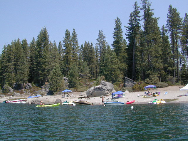
Shaver Beaches

Shaver Lake Map

see also –
Dinkey Lakes Maps
Kaiser Wilderness Map
Mono Divide Trail Map
Sierra National Forest Maps
Sierra Forest Topo Atlas

Shaver Lake Map

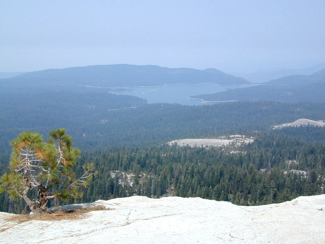
Bald Mountain Views

Wildfire has recently ravaged about half of this National Forest, from Shaver Lake to Mammoth Pool Reservoir; Kaiser Wilderness, San Joaquin River, Huntington Lake, all the way out to Lake Edison. Many areas could be closed to logging and fire cleanup. Check with USFS for specifics.
Creek Fire 2020

nearby locations –4x4 maps

Baja California Maps

Baja Road Trip Map
Baja California Mexico

Baja Road Trip Map

Benchmark Baja California
Road & Recreation Atlas

Baja Map Mexico

New atlas for Baja California MX, created by Benchmark Maps.
Released MAY 2021

Baja Map Mexico

old baja almanacDecent printed Baja Maps are always hard to come by. If you are seeking a hard copy Baja Road Trip Map, then the links below may help you find one.
Historic Baja Almanac >

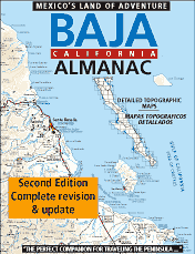
Landon’s legacy will always live on with the amazing map that he created; published between 1997-2009. The Baja California Almanac is regarded as the best topographical map of the Baja California peninsula. This map book has been out of print since 2010 and finding one on eBay or Amazon is often difficult.

baja trail mapLandon S. Crumpton (RIP) * dirt biker turned map maker
baja foldout map

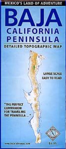
OLD fold-out MAP

This smaller Baja fold out map was a once-off map publication that was printed in the mid-2000s, but it is impossible to find now. Originally selling for a mere $5.95, they were quickly outta stock and never to be seen again.

Furthermore, if you are seeking to travel Baja California in depth, may we suggest a GPS unit; and downloading the more relevant, digital maps over at Baja GPS Guide. They have newer digital maps for this region. Claiming to be the most detailed map of Baja, Copper Canyon, and mainland Mexico. NOTE: must own a compatible GPS for this map. BAJA & MEXICO E32 TOPO MAP

baja maps

Gonzaga Bay, Baja California Mexico

Explore Baja: Petroglyphs, Back Roads, Surf Spots, Fishing Maps, Off Road Routes, Mountains, Deserts, Camping, Beaches, Sea of Cortez; in particular, these popular favorite south-of-the-border destinations Guadalupe Canyon Hot Springs and Mikes Sky Ranch

Several notable Baja California towns:camp maps

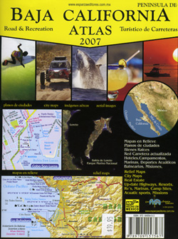
baja California atlas

OUT OF PRINT

4x4 maps

Surf Baja Road Trip Map

Surf Baja California


National Geographic makes Baja Maps!

maps of Baja California

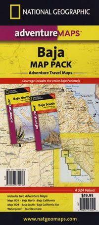
Baja Road Trip Maps (2 pack) by NatGeo

Lake Mead Map

Lake Mead Map

Lake Mead Map #204

Hoover Dam, Lake Mohave, Las Vegas Nevada
Colorado River Camping, Lake Mead NRA

NatGeo Trails Illustrated Lake Mead Map #204 Las Vegas Hiking Trails, NV Vegas Camping. National Geographic Lake Mead National Recreation Area, Nevada.

Valley of Fire State Park, River Mountains Loop Trail, Gold Butte, Bitter Springs Backcountry Byway, Colorado River Camping, Hoover Dam, Muddy Mountain Wilderness, Lake Mohave, Princess Cove, Ireteba Peaks Wilderness BLM, Cottonwood Cove, Black Mountains BLM AZ, Eldorado Canyon, Eldorado Wilderness, Pinto Valley Wilderness, Spirit Mountain Wilderness.

Backcountry roads, OHV, dirt roads, hiking trails, desert lakes, river trails, fishing, boating, boat launches, houseboating, coves, camping, campgrounds, RV sites, all roads and highways,  GPS Compatible, Full UTM Grid. Waterproof Map. ISBN# 9781566954006

lakemead

Lake Mead Map

Lake Mead Map

OutThere

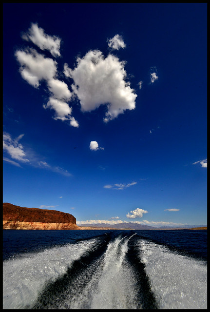
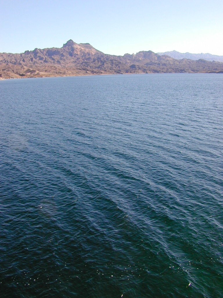
lake mohave

Lake Mohave is below the Hoover Dam

Lake Mead Map

boat ramp

Lower Colorado Basin

Lower Colorado River Operations

U.S. Bureau of Reclamation

Hoover Dam has hike-in hot springs? You betcha.
travelnevada.com/hot-springs/gold-strike-hot-spring/

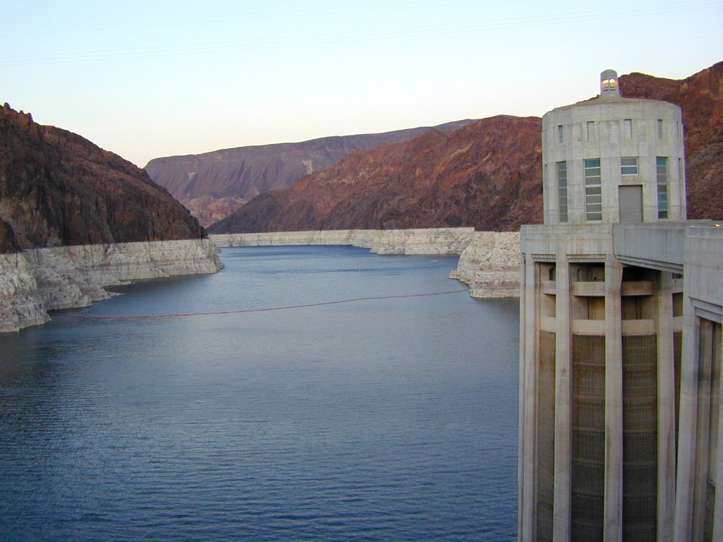
Lake Mead is a man-made lake that lies on the Colorado River, 25 miles from the Las Vegas Strip, in the states of Nevada and Arizona. It is the largest reservoir in the United States in terms of water capacity. Formed by the Hoover Dam on September 30, 1935, the reservoir serves water to the states of Arizona, California, and Nevada, as well as some of Mexico, providing sustenance to nearly 20 million people and large areas of farmland.

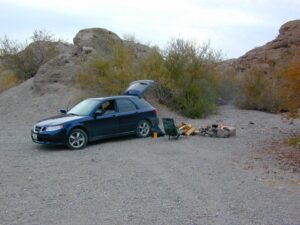
Lake Mohave is quieter, water is cleaner; features an undeveloped shoreline; off road trails and primitive camping in coves. Bring your own firewood, as there is no forest left in this desert.

saabmohave

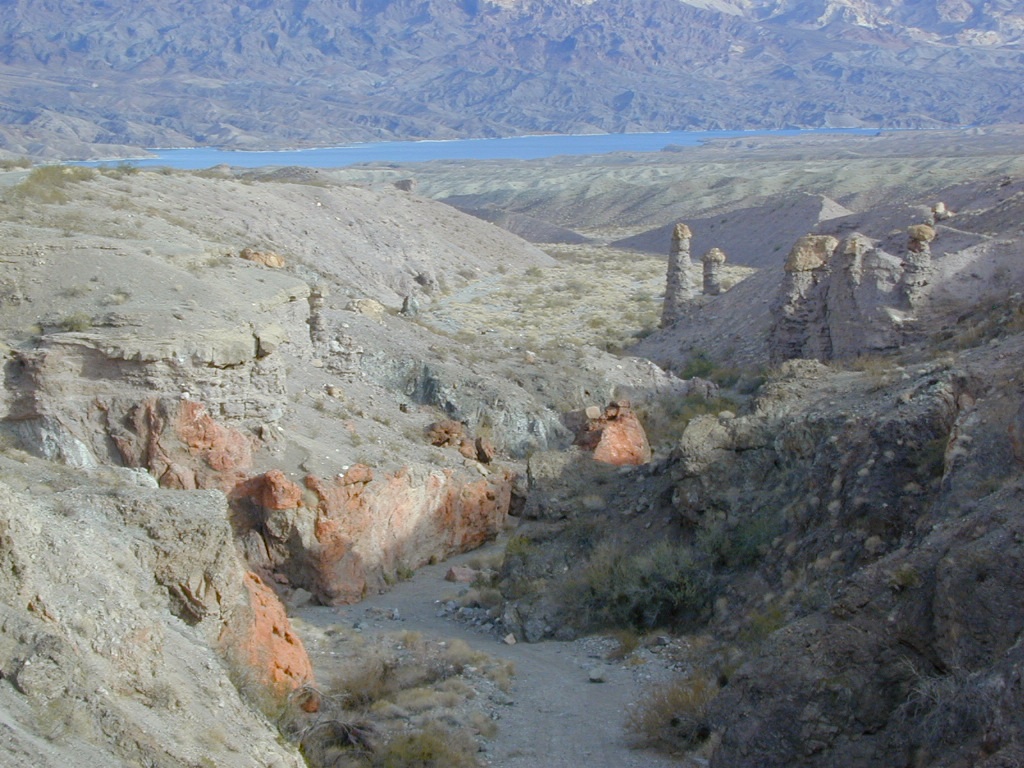
deepwashes

Lake Mohave Deep Washes

other Nevada parks nearby –

El Dorado Canyon

Red Rock Canyon

Mount Charleston

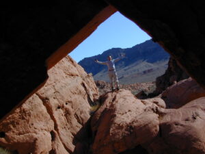
Valley of Fire State Park 

Valley of Fire

Valley of Fire State Park, Las Vegas, NV

picnic

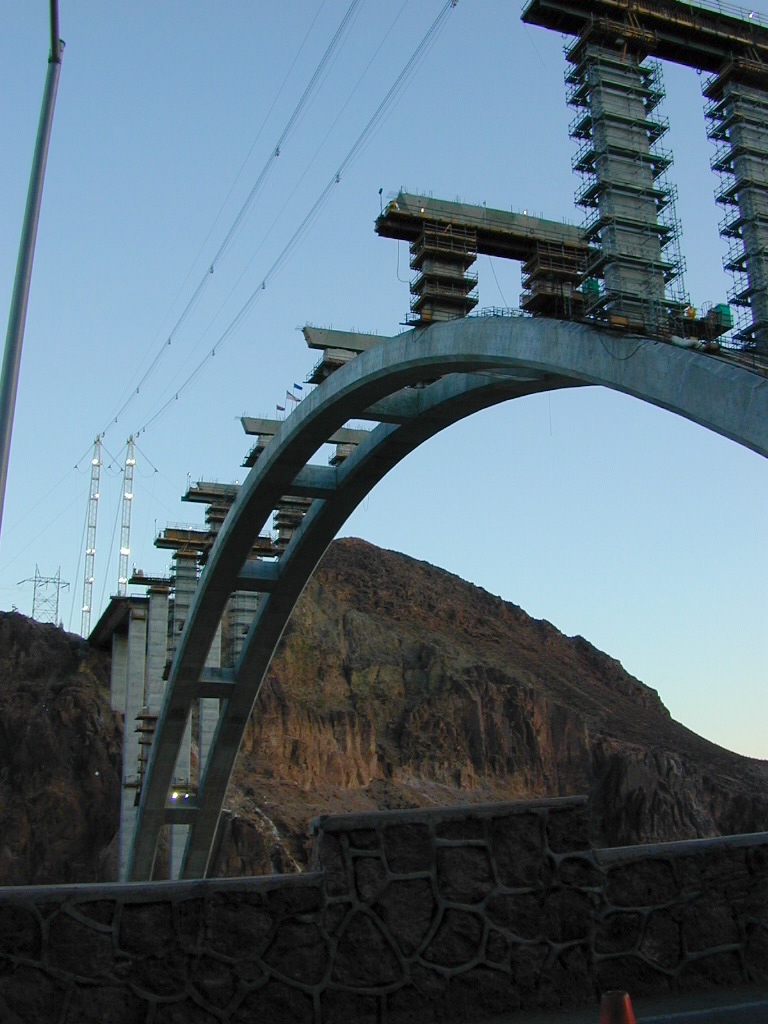
newbridge

2009 building the new highway bypass bridge, over the Hoover Dam

see also – 

Grand Canyon National Park Map
Flagstaff Sedona Map
Red Rock Las Vegas Map
Zion National Park Map