Carson Iceberg, Emigrant, Mokelumne Map

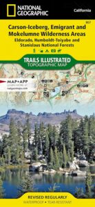
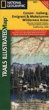
National Geographic Trails Illustrated Map for Carson Iceberg, Emigrant, Mokelumne Wilderness Areas – Central Sierra Nevada Mountains

NatGeo Map #807 Carson Iceberg

NatGeo Carson Iceberg

Carson Iceberg Wilderness Map NatGeo 807

National Geographic makes this Trails Illustrated Trail Map that covers 3 different Wilderness areas inside the Central Sierra Nevada mountains – Carson Iceberg Wilderness, Emigrant Wilderness, Mokelumne Wilderness.

Trailheads, campgrounds, river, creeks, peaks, and alpine lakes. Backpack, camp, climb, fish, and hike. Basically, all the recreation destinations in this region. These regions are CLOSED for snow during winter months and usually only accessible during the summer period.

National Geographic Map 807. Trails Illustrated. GPS Compatible, Full UTM Grid. Waterproof ISBN# 9781566952651

National Geographic Map 807

OLDER EDITION


National Geographic Map 807

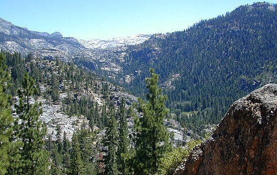
Emigrant Wilderness in the Central Sierra

Highland Lakes Trailheads

Highland Lakes Trailheads

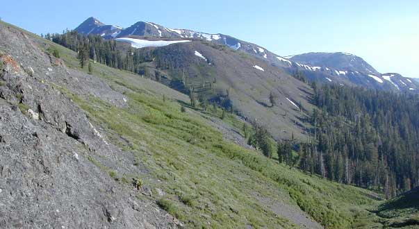
Carson Iceberg Wilderness

Emigrant Wilderness

Mokelumne Wilderness

see also –

Carson Iceberg Wilderness Map
Emigrant Wilderness Trail Map
Mokelumne Wilderness Trail Map
Eldorado National Forest Map
Stanislaus National Forest Map
Stanislaus Forest Atlas

Death Valley Maps

Death Valley National Park Maps
Hiking, Camping, 4×4 Routes

Death Valley Maps

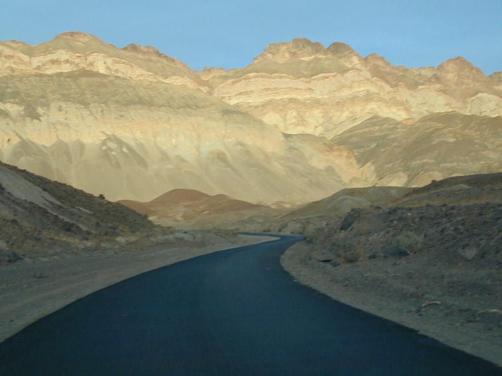
Artists Palette Drive (now paved)

Death Valley Trail Map

Topographical maps for DVNP can be found through Tom Harrison and National Geographic. Wilderness Press makes a couple of decent hiking books too.

Inyo National Forest Map from the USDA covers tall mountain peaks west of the National Park. Panamint Valley, Saline Valley, Darwin, Ballarat ghost town are all located on the west side and are also featured on these topographic maps.

National Park Map

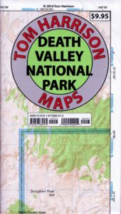
Death Valley Recreation Map, Tom Harrison

Death Valley Topo Map

Tom Harrison Recreation Map: Death Valley Maps; Death Valley National Park CA, Furnace Creek, Stovepipe Wells. Eureka Dunes, The Racetrack, Panamint Valley Off Roading, 4×4 Death Valley, Skidoo, Shoshone, Darwin Falls, Darwin Wilderness, Eureka Dunes, Furnace Creek, Zabriskie Point, Stovepipe Wells, Teakettle Junction, 20 Mule Team Canyon, Goler Wash; Barker Ranch, Ballarat Ghost Town California Mining Districts, Mojave Mining Camps, Saline Valley Hot Springs; Durable, waterproof plastic map; Folded. Map Scale: 250K; ISBN# 9781877689574

digital mapsdownload digital version of this map –
Death Valley Park Recreation Map

Death Valley Desert Maps

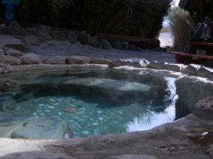
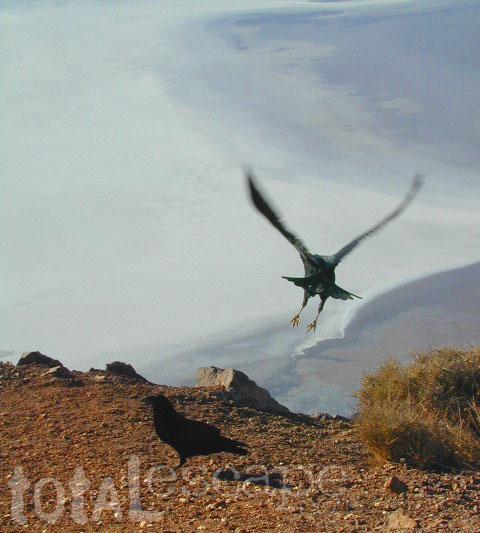
Saline Hot Pools @ Saline Valley, DVNP

DEATH VALLEY MAP

OLD VERSION


nearby towns –

death valley map

REAL OLD MAP

Death Valley Maps

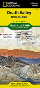
Trails Illustrated Map, National Geographic Death Valley National Park Map #221

Death Valley NatGeo Map

Trails Illustrated Map from National Geographic. Death Valley National Park map #221. Inyo Mountains, Inyo Desert Camping, Badwater, Telescope Peak, Panamint Valley, Panamint Range, Ballarat ghost town, Manson Cabin, Amargosa mountains, Death Valley Backcountry map. Hiking Map. Many, many dirt roads and old mining operations to explore. Very detailed & colorful. Waterproof Plastic Map; Tear Resistant. GPS data. ISBN#749717012219

California Desert Map

Death Valley Maps, Death Valley National Park, Furnace Creek, Stovepipe Wells, Eureka Dunes, Panamint Valley, Scotty’s Castle, Barker Ranch, Manson Ranch, Furnace Creek, Stovepipe Wells. Eureka Dunes, The Racetrack, Panamint Valley Off Roading, 4×4 Death Valley, Skidoo, Shoshone, Darwin Falls, Darwin Wilderness, Eureka Dunes, Furnace Creek, Zabriskie Point, Stovepipe Wells, Teakettle Junction, 20 Mule Team Canyon, Goler Wash; Barker Ranch, Ballarat Ghost Town California Mining Districts, Mojave Mining Camps, Saline Valley Hot Springs

hikers map

Channel Islands Map

Channel Islands Map

Channel Islands Map
NatGeo #252

California Islands Map
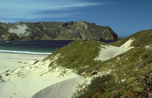
Several islands exist off the coast of California. Catalina Island is by far the most popular, but not included on this map. Some refer to these as the Santa Barbara Islands, since they are out near the Santa Barbara Channel.

Many islands are inaccessible, but the Channel Islands are indeed a National Park – reachable only by boat or by air – from the Ventura coastline. Advanced reservations will be needed to book a boat trip or a flight to the islands.

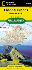
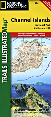
hikers mapTrails Illustrated Map from National Geographic. Channel Islands National Park Map #252. Santa Barbara coast channel islands, California. Diving, Snorkeling, Swimming Beaches, Kayaking, Boating, Camping & Hiking Map.

Very detailed & colorful. Waterproof Plastic Map; Tear Resistant. GPS data. Published in 2019. ISBN# 9781566954105

  • backpack
  • camp
  • dive
  • fish
  • hike
  • kayak
  • swim
  • snorkle 
Channel Islands Map

PREVIOUS VERSION

Located off the California shore, the Channel Islands are home to many unique species of flora and fauna. National Geographic’s Trails Illustrated Map covers (with unparalleled detail) the 5 islands that encompass the park, including The Nature Conservancy area of Santa Cruz Island and the State Marine Reserve Areas that surround the islands. Provides background information of the park and of each individual island along with its regulations and guidelines. In addition, information regarding transportation to the islands is given, as well as land (hiking), water (swimming, snorkeling and diving) and boating / kayaking safety warnings.

Each of the islands is shown with a trail guide, listing trail start and destination points, distances and difficulty. Trails are mapped with mileage markers and coded according to trail type. Island roads, which can also be used use for hiking, are shown as well. An inset map of the Scorpion Area provides extra detail of this popular area. The map includes contour lines, elevations, labeled peaks, selected waypoints, water features and areas of wooded cover. Moreover, many recreation features and facilities are pinpointed, such as ranger stations, campgrounds, restroom, picnic areas and historic buildings.

Other features on this map include: Anacapa Passage, Channel Islands National Park, Encino Reservoir, Franklin Canyon Reservoir, Laguna Point, Point Dume, San Fernando Valley, San Miguel Island, San Miguel Passage, Santa Barbara Island, Santa Cruz Channel, Santa Cruz Island, Santa Monica Mountains, Santa Rosa Island, Sepulveda Dam, Stone Canyon Reservoir.

see also –
Big Sur Maps
Los Padres West by NatGeo

Flagstaff Sedona Map

NatGeo Trails Illustrated
Flagstaff Sedona Map #856

NatGeo AZ map

Sedona Camping & Hiking Trails
Flagstaff Arizona, Sedona, AZ Hikes, Campgrounds

Map covers Coconino National Forest, Kaibab National Forest, South Rim Grand Canyon, Kachina Peaks, Kendrick Mountain, Strawberry Crater Wilderness Area, San Francisco Peaks, Arizona Trail, Game Management Units, Cinder Hills OHV Area. GPS Compatible, Full UTM Grid. National Geographic, Waterproof Plastic Map, ISBN# 9781566955157

Flagstaff Sedona MapSedona Map of Arizona, Northern Arizona Tourism, Arizona Maps, Flagstaff AZ, Flagstaff Hiking, Camping North AZ

Flagstaff Sedona Map

Trail Map Flagstaff

see also – 

Grand Canyon Maps
Mojave National Preserve Map

Red Rock Canyon Vegas
Lake Mead NRA Map
Anza Borrego Desert Map
San Diego Backcountry Maps