Mount Whitney Hiking Maps

Mount Whitney Hiking MapsThe tallest mountain peak in the lower 48 means that this region is a super popular destination with avid hikers, mountaineers and backpackers alike. Physical fitness must be top priority in training for this ultimate bucket list choice.

Usually only accessible about half the year, due to snow (NOV-MAY) and permits are required. To obtain a wilderness hiking permit, you must get chosen from a lottery months in advance. No joke!

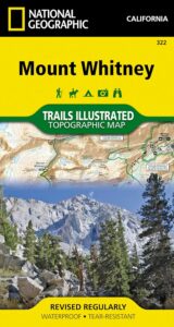
Mount Whitney Map

Mt Whitney Topo
by NatGeo Trails Illustrated

Mount Whitney High Country Map
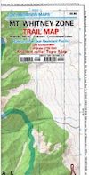
Mount Whitney Zone Map

both Topographic Maps by Tom Harrison (listed below)
Mount Whitney Hiking Maps

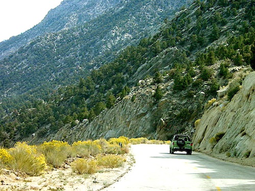
Whitney Portal Road

Mount Whitney Zone
Tom Harrison
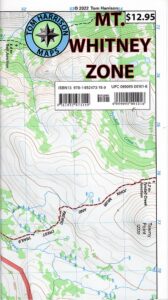
Whitney Zone Map

Mount Whitney Hiking Maps

OLDER VERSION

Mount Whitney Map, Whitney Portal. Topo Trail. Mt Whitney maps. Tom Harrison Trail Map: Mount Whitney Zone Trail Map, Lone Pine, CA; Areas include: Whitney Portal, Crabtree, Cottonwood Lakes, Rock Creek. Whitney Portal Trailheads, Outpost Camp, Trail Camp, Whitney Summit, Mountaineer’s Route, High Sierra Trail, Crescent Meadow, and the John Muir Trail Junction.

Durable, waterproof plastic map; Folded. Map Scale: 31.7K; ISBN# 9781877689697

digital mapsdownload digital version of this map
Mount Whitney Zone Map
Mount Whitney Hiking Maps

hiker

Mount Whitney Hiking Maps

Mount Whitney High Country Map
Tom Harrison
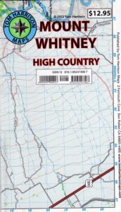
Whitney High Country

Mount Whitney High Country Map, Whitney trail map, Topo trails. Tom Harrison Trail Map: Mount Whitney High Country, with Lone Pine California. Pear Lake, Lodgepole, Mineral King, Mt. Whitney Peak, Kern Canyon, Ash Mountain, Whitney Portal, Little Five Lakes, Bearpaw Meadow, Triple Divide Peak, Cottonwoods Lakes, Horseshoe Meadow. Eastern Sierra, High Sierra Backpacking, Mount Whitney Map, Hike, Inyo National Forest, Eastern Sierra, Mount Whitney Map by Tom Harrison, Hike, Inyo National Forest, Eastern Sierra Hikes, Mt Whitney California Topo, Waterproof, Topographic Maps California, Sierra Whitney Hike, High Country Trails, California Sierra Mountains Durable, waterproof plastic map; Folded. Map Scale: 63K; ISBN# 9781877689512

avenza mapsdownload digital version of this map
Mt. Whitney High Country Map
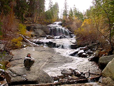
WhitneyFalls

additional
MT. WHITNEY MAPS

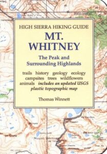
Mount Whitney Booklet

Mount Whitney to Bishop Trail Map

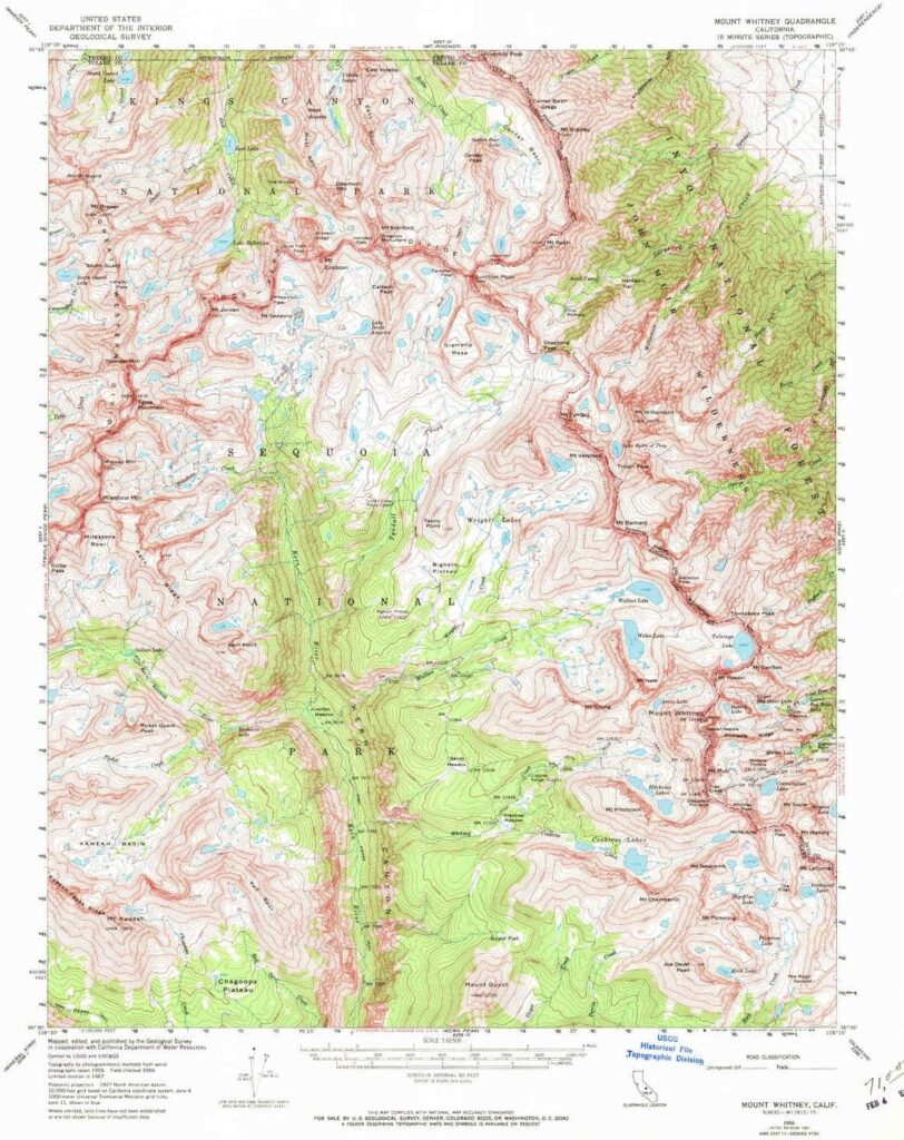
Whitney Topo Map

see also –
NatGeo Mount Whitney Map
John Muir Wilderness Maps

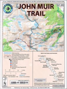
JMT: John Muir Trail Map

High Sierra Trail

hikerThe John Muir Trail is a long-distance hiking trail in the Sierra Nevada mountain range of California, passing through Yosemite, Kings Canyon and Sequoia National Parks.

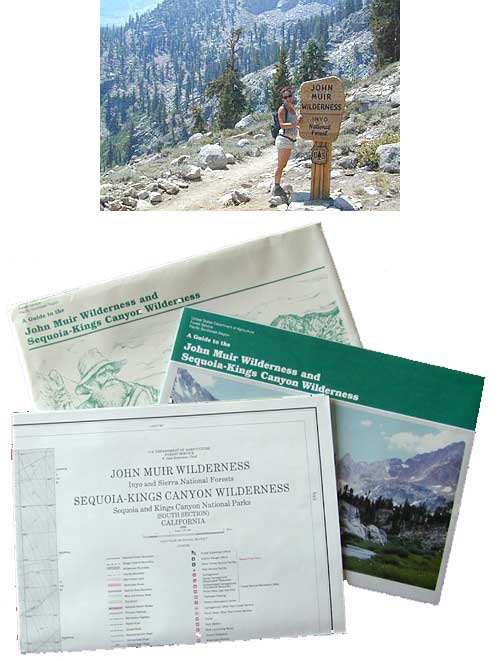
USDA makes paper maps for John Muir Wilderness w/ Kings Canyon, and Tom Harrison offers the waterproof John Muir Map Pack. National Geographic also makes a topo map for the John Muir Trail.

John Muir Wilderness

Onion Valley Campground

Ansel Adams Wilderness

driftwood

John Muir Maps USDA
John Muir Wilderness with Sequoia Kings Canyon Wilderness

johnmuirmap

U.S. Forest Service – NFS. Old school maps – two large paper sheets. Available at Inyo National Forest Ranger Stations, USGS website or the Eastern Sierra Interagency Visitors Center on US Highway 395.

Eastern Sierra Mountains
Highest Sierra Peaks

Perfect for a day hike reference or extended backpacking adventures. Map Scale = 1″ to mile; Printed on paper w/ large storage envelope. Limited availability.

gilbertlake

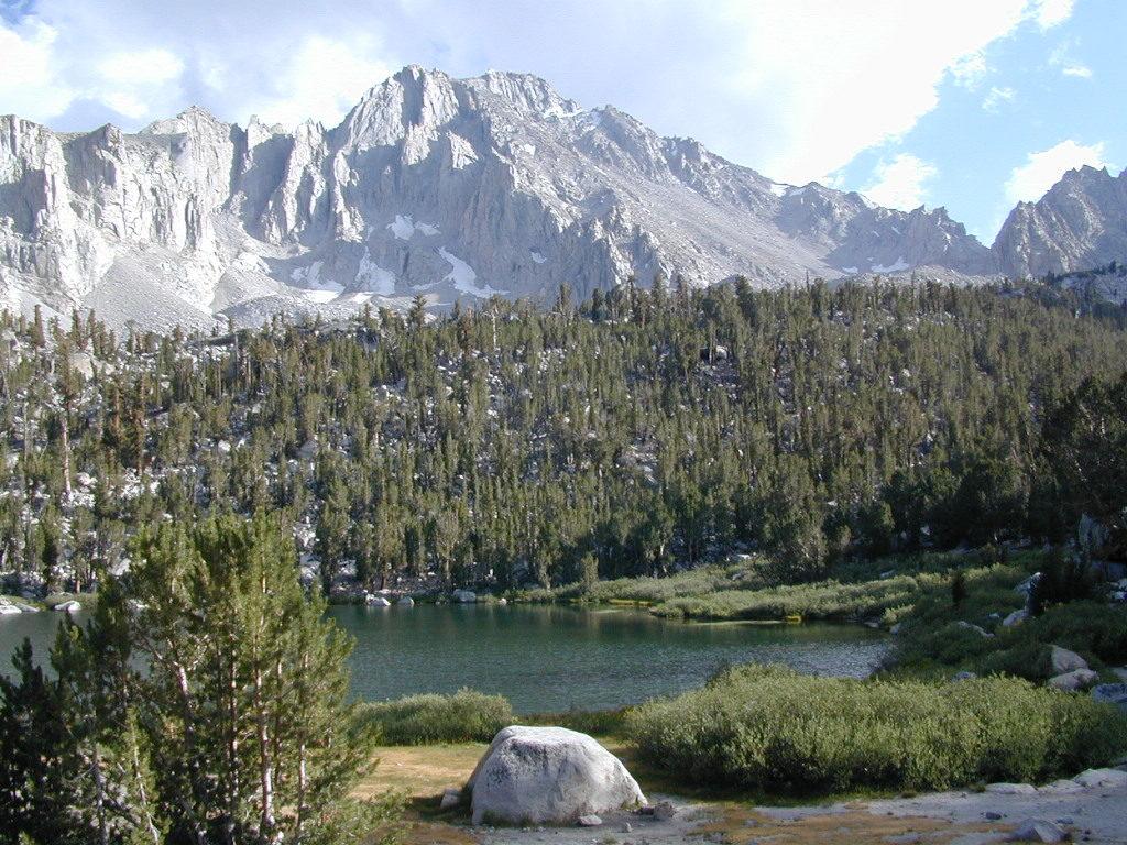
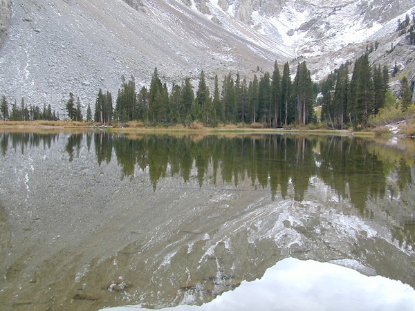
Gilbert Lake, above Onion Valley, Eastern Sierra Independence, CA

fish

driftwood

John Muir Wilderness Map Set
Tom Harrison Maps

Tom Harrison John Muir Pack
John Muir Trail Maps by Tom Harrison, High Sierra Backpacking Maps, Highcountry Trail Map. Eastern Sierra Mountains inside Inyo National Forest

Mount Whitney, Lone Pine, Independence, Big Pine, Bishop, Mammoth Lakes – Eastern California.

John Muir Wilderness Map Set of 13 individual maps. Durable, waterproof plastic map; Smaller maps, not folded. Map Scale: 63K; ISBN# 9781877689345

download digital versions of this map – avenza maps
John Muir Trail Topo Map Set

or the most popular individual maps :
John Muir Trail Map #4
John Muir Trail Map #5
John Muir Trail Map #6
John Muir Trail Map #7
John Muir Trail Map #8
John Muir Trail Map #9
John Muir Trail Map #10
John Muir Trail Map #11
John Muir Trail Map #15

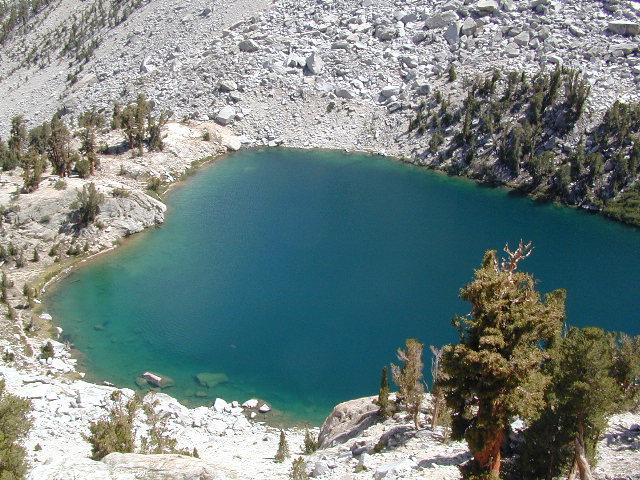
Heart Lake

horseback

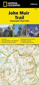
National Geographic makes a decent John Muir Trail Map too!
NatGeo John Muir

nearby towns:

lilpothole

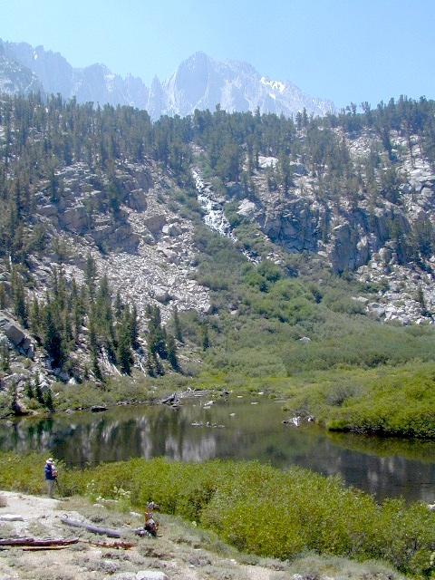
Little Pot Hole Lake, Kearsarge Pass Hike

Ansel Adams Wilderness Books

Find Ansel Adams Wilderness Maps

"<yoastmark

Ansel Adams Wilderness Books

Nat Geo Book

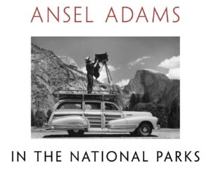
National Parks Book

American West

Ansel Adams Wilderness Books

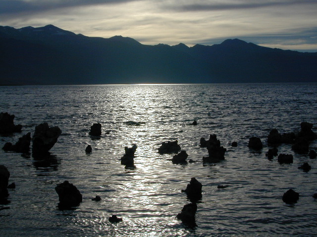
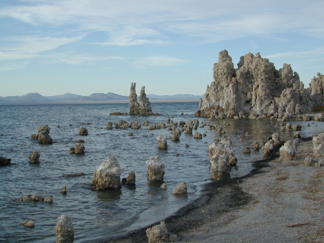
Mono Lake at Sunset

The Ansel Adams Wilderness is a wilderness area in the Sierra Nevada of California, United States. The wilderness spans 231,533 acres – much of which is located inside the Inyo and Sierra National Forests, and the remaining acres covers nearly all of Devils Postpile National Monument. Yosemite National Park lies to the north and northwest, while the John Muir Wilderness lies to the south.

The wilderness was established as part of the original Wilderness Act in 1964 as the Minarets Wilderness. The 109,500-acre Minarets Wilderness was created by enlarging and renaming the Mount Dana-Minarets Primitive Area. In 1984, after his death, the area was expanded and renamed in memory of Ansel Adams, well-known environmentalist and nature photographer who is famous for his black-and-white landscape photographs of the Sierra Nevada.

The Ansel Adams wilderness spans in elevation from 3,500 to 13,157 feet, forming the northern end of the High Sierra. The centerpiece of the Ansel Adams wilderness is the Ritter Range, which includes dark meta-volcanic glaciated mountains such as Mount Ritter, Banner Peak, and The Minarets.

Immediately to the east of the Ritter Range is the Middle Fork of the San Joaquin River, which contains Devils Postpile, a series of basaltic columns that were revealed and smoothed by glacier action. The Middle Fork originates from Thousand Island Lake, at the foot of Banner Peak, one of the largest backcountry lakes in the Sierra.

To the east of the Middle Fork canyon is the true Sierra Crest, which, at roughly 10,000 feet of elevation is lower than the Ritter Range. This relatively low region of the Crest allows winter storms through and cause large amounts of snowfall on Mammoth Mountain, which sits in the gap. The gap also allows migration of plants and animals across the Sierra Crest.

To the west of the Ritter Range lies the canyon of the North Fork of the San Joaquin, a relatively remote and less visited high-country area. The southern part of the wilderness contains the 3,000 feet deep canyon of the main San Joaquin River, which flows out of the Sierra Nevada to California’s Central Valley.

Ansel Adams Wilderness Books

Big Sur Maps

Big Sur Coast, California

Several hiking maps exist for this epic Central Coast region of California
Los Padres NF, Ventana, Gorda, Lucia, Limekiln State Park, Big Sur, CA

Lucia Patio

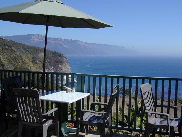
Patio @ Lucia, South Big Sur Coast (burned down recently)

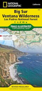
NatGeo Big Sur Map #814

Big Sur Coast Map

National Geographic Trails Illustrated Topo Map for Big Sur NatGeo
Central Coast Maps, Big Sur Coast, California Big Sur

Big Sur, California Central Coast Map w/ Ventana Wilderness and Los Padres National Forest. Trails Illustrated Map #814 by NatGeo. Silver Peak Wilderness, California Coastal State Parks, Monterey County Parks, PInnacles National Monument. All trails, trailheads, campgrounds, rivers, creeks, forests and parks between Monterey and San Simeon.

Big Sur Ventana

OLD EDITION

Andrew Molera State Park, Pfeiffer Big Sur State Park, Big Sur National Wild River, Mill Creek Redwood Preserve, Palo Corona Regional Park, Glendeven Ranch, Joshua Creek Canyon Ecological Preserve, Garrata State Park, Point Lobos Ranch, Point Lobos State Reserve, Carmel River State Beach, Asilomar State Beach, Fort Ord Dunes State Park, Toro Regional Park, Garland Ranch Regional Park, Cachagua Community Park, Miller Canyon, Bottchers Gap Campground, Tassajara, Arroyo Seco, Gabilan Range, Salinas River, Sierra de Salinas, Julia Pfeiffer Burns State Park, Monterey Bay National Marine Sanctuary, Limekiln State Park, Alder Creek Campground, John Little State Reserve, Slate Hot Springs, Santa Lucia Range, Cone Peak Gradient, Sand Dollar Beach, Jade Cove Big Sur Coast, Fort Hunter Liggett Military Base, San Antonio Pedira, Nacimiento Road, Nacimiento-Fergusson, Salmon Creek Road, Silver Peak Wilderness, Los Burros Road, Willow Creek, Plaskett Creek Campground, Coastal Highway 1 and US Route 101 on Central Coast California.

Printed on waterproof plastic in 2012. ISBN# 9781566955782

avenza mapsget a digital version of this map
NatGeo Map 814 – Big Sur Map

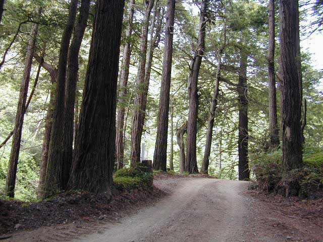
Redwoods Inland

This Central California Coastal region covers the north end of Los Padres National Forest, Ventana and Silver Peak Wilderness, Pinnacles National Monument, much of Fort Hunter Liggett, plus nearby State Parks – Andrew Molera State Park, Garrapata State Park, Julia Pfeiffer Burns State Park, Pfeiffer Big Sur State Park, Point Sur State Historic Park, Limekiln State Park, Point Lobos State Reserve & California Sea Otter Game Refuge.

Wilderness Press Map Big Sur

Topo Map

This recreation map for the California Central Coast includes all of the Big Sur coastline with Ventana & Silver Peak Wilderness.

avenzabar

digital maps for download

USFS Topo Map – Big Sur California
USFS Topo Map – Los Padres NF, Big Sur Visitor Map
USFS Topo Map – Tassajara Hot Springs
Redwood Hikes Press Map – Andrew Molera State Park
USGS Topo Map – Big Sur, CA (free)
USGS Topo Map – Cone Peak (free)
USGS Topo Map – Ventana Cones (free)
USGS Topo Map – Monterey, CA (free)
USGS Topo Map – Carmel Valley, CA (free)
USGS Topo Map – Partington Ridge (free)

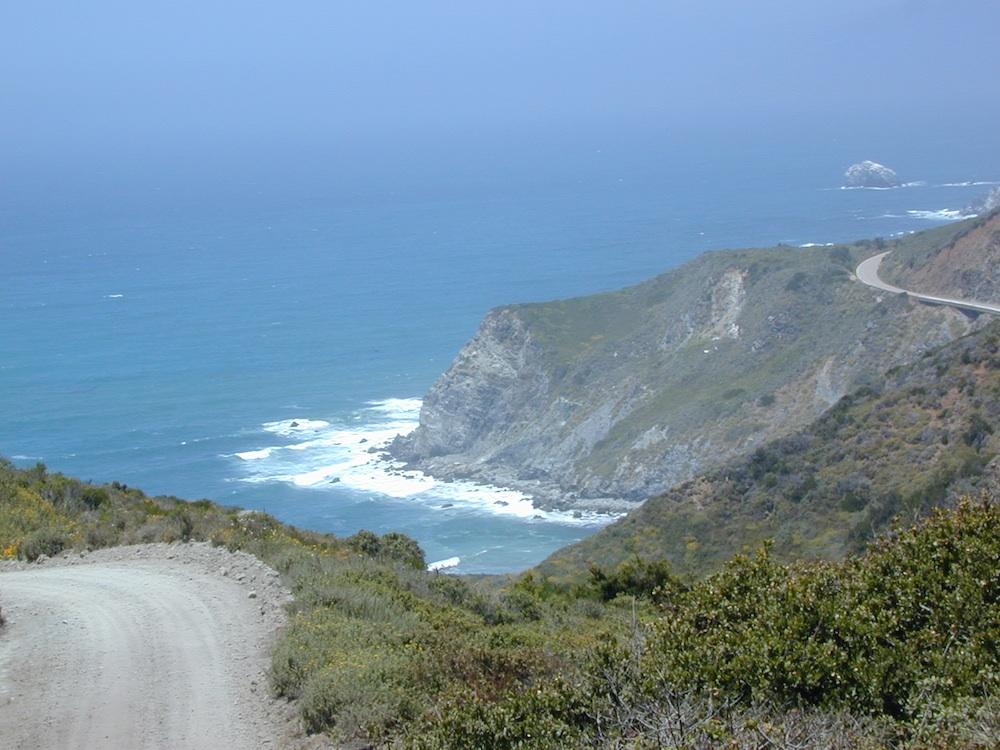
big sur dirt roads

beaches, forest, state parks & wilderness areas along this coastline:
Andrew Molera State Park
Julia Pfeiffer Burns State Park
Limekiln State Park
Los Padres National Forest
Pfeiffer Beach
Pfeiffer Big Sur State Park
Sand Dollar Beach
Silver Peak Wilderness
Ventana Wilderness

nearby towns:

back roads