Lake Mead Map #204
Hoover Dam, Lake Mohave, Las Vegas Nevada
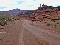
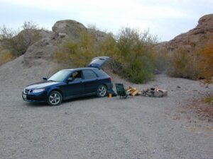
Colorado River Camping, Lake Mead NRA
NatGeo Trails Illustrated Lake Mead Map #204 Las Vegas Hiking Trails, NV Vegas Camping. National Geographic Lake Mead National Recreation Area, Nevada.
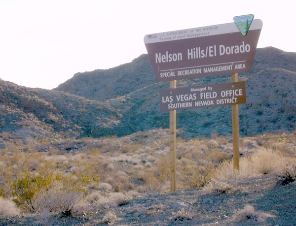
Valley of Fire State Park, River Mountains Loop Trail, Gold Butte, Bitter Springs Backcountry Byway, Colorado River Camping, Hoover Dam, Muddy Mountain Wilderness, Lake Mohave, Princess Cove, Ireteba Peaks Wilderness BLM, Cottonwood Cove, Black Mountains BLM AZ, Eldorado Canyon, Eldorado Wilderness, Pinto Valley Wilderness, Spirit Mountain Wilderness.
Backcountry roads, OHV, dirt roads, hiking trails, desert lakes, river trails, fishing, boating, boat launches, houseboating, coves, camping, campgrounds, RV sites, all roads and highways, GPS Compatible, Full UTM Grid. Waterproof Map. ISBN# 9781566954006
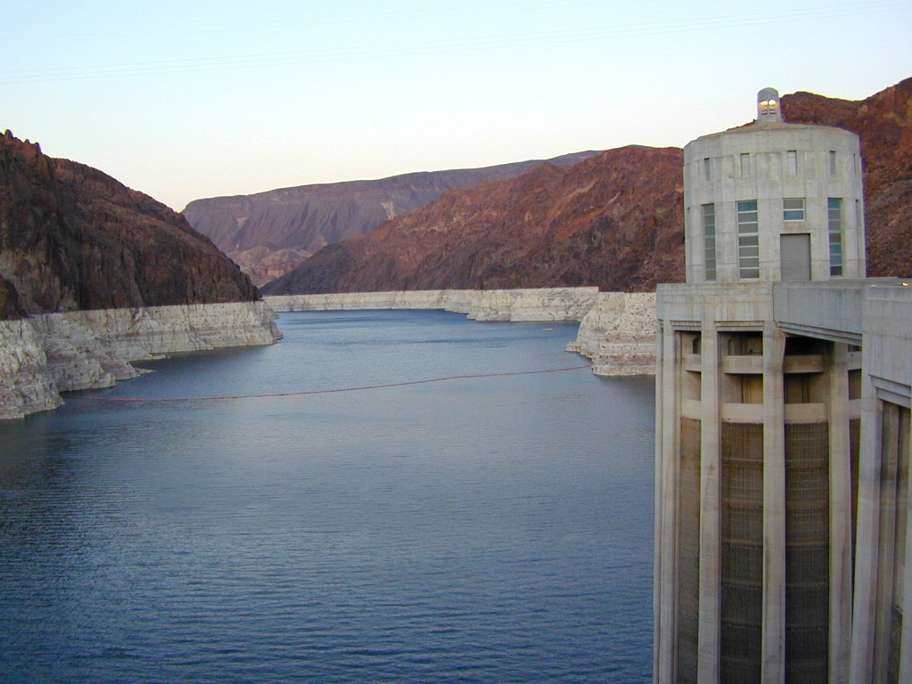


Lake Mohave is below the Hoover Dam


Lower Colorado Basin
Lower Colorado River Operations
U.S. Bureau of Reclamation
Hoover Dam has hike-in hot springs? You betcha.
travelnevada.com/hot-springs/gold-strike-hot-spring/
Lake Mead is a man-made lake that lies on the Colorado River, 25 miles from the Las Vegas Strip, in the states of Nevada and Arizona. It is the largest reservoir in the United States in terms of water capacity. Formed by the Hoover Dam on September 30, 1935, the reservoir serves water to the states of Arizona, California, and Nevada, as well as some of Mexico, providing sustenance to nearly 20 million people and large areas of farmland.
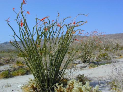
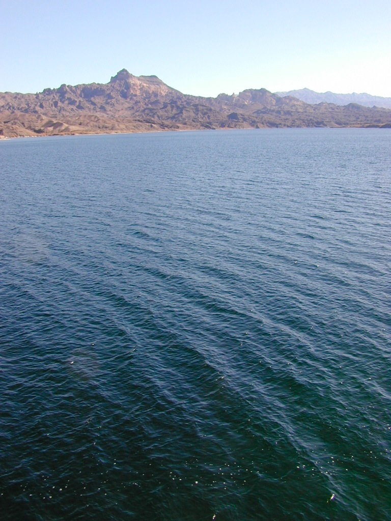
Lake Mohave is quieter, water is cleaner; features an undeveloped shoreline; off road trails and primitive camping in coves. Bring your own firewood, as there is no forest left in this desert.
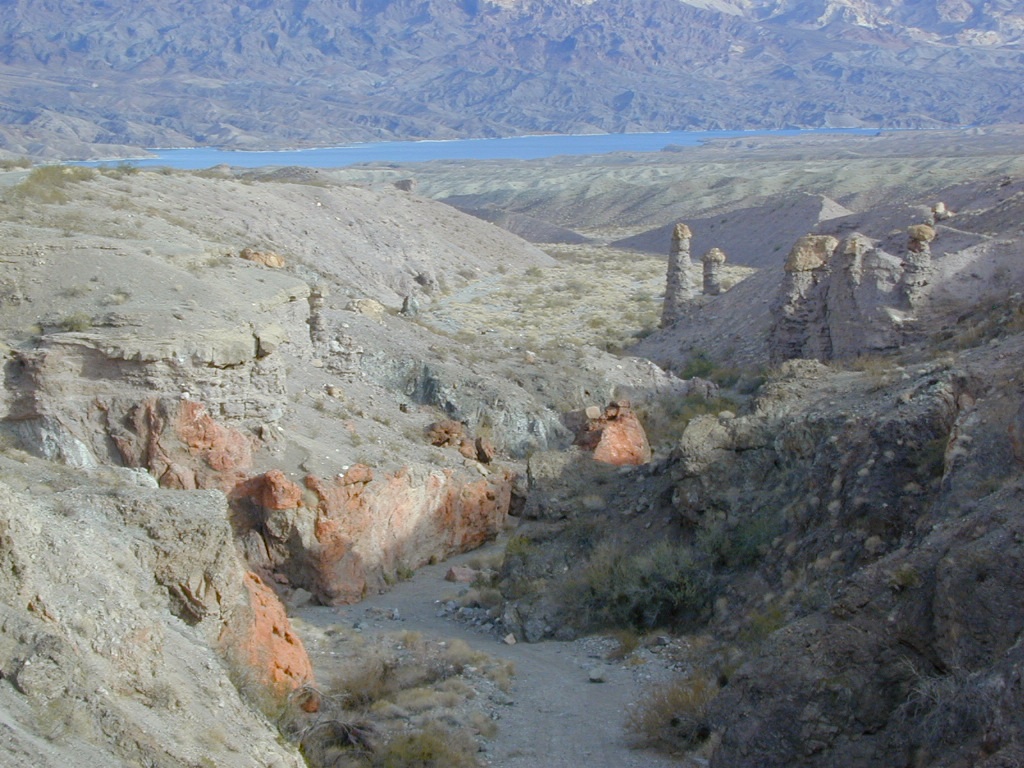
Lake Mohave Deep Washes
other Nevada parks nearby –
Valley of Fire State Park, Las Vegas, NV

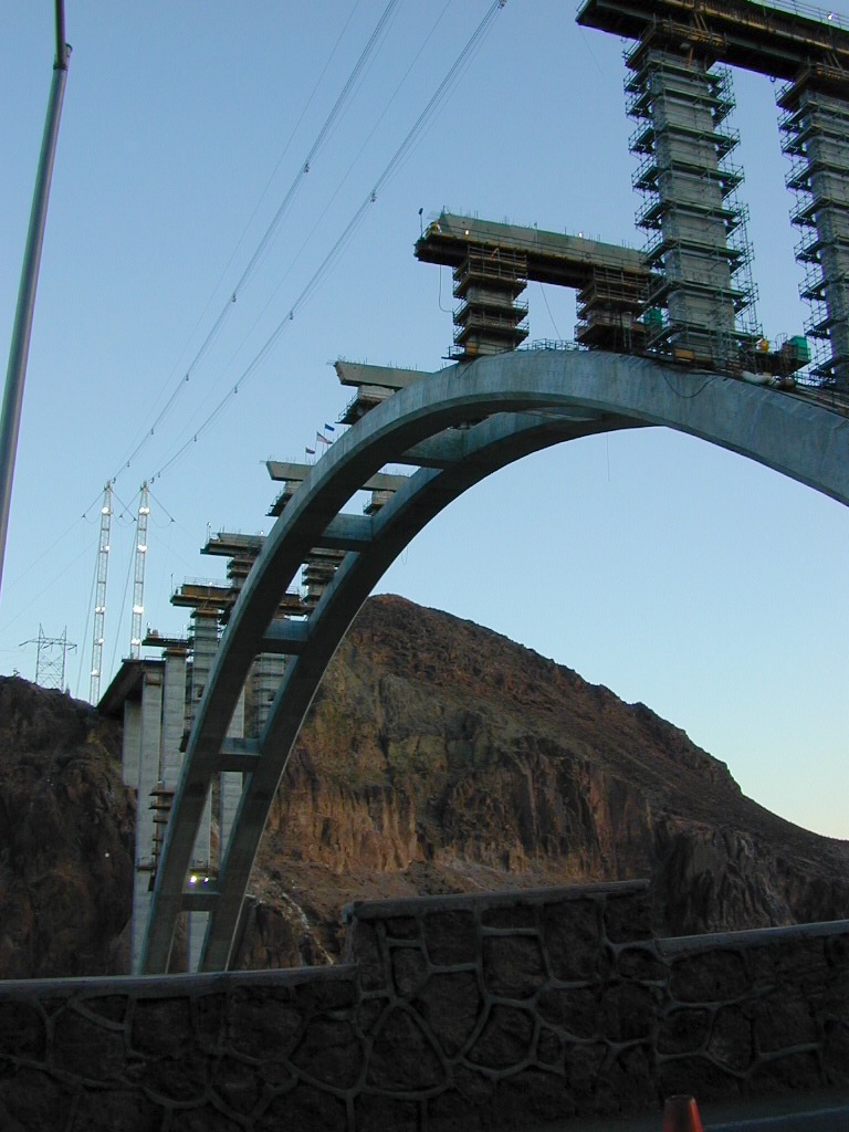
2009 building the new highway bypass bridge, over the Hoover Dam
see also –
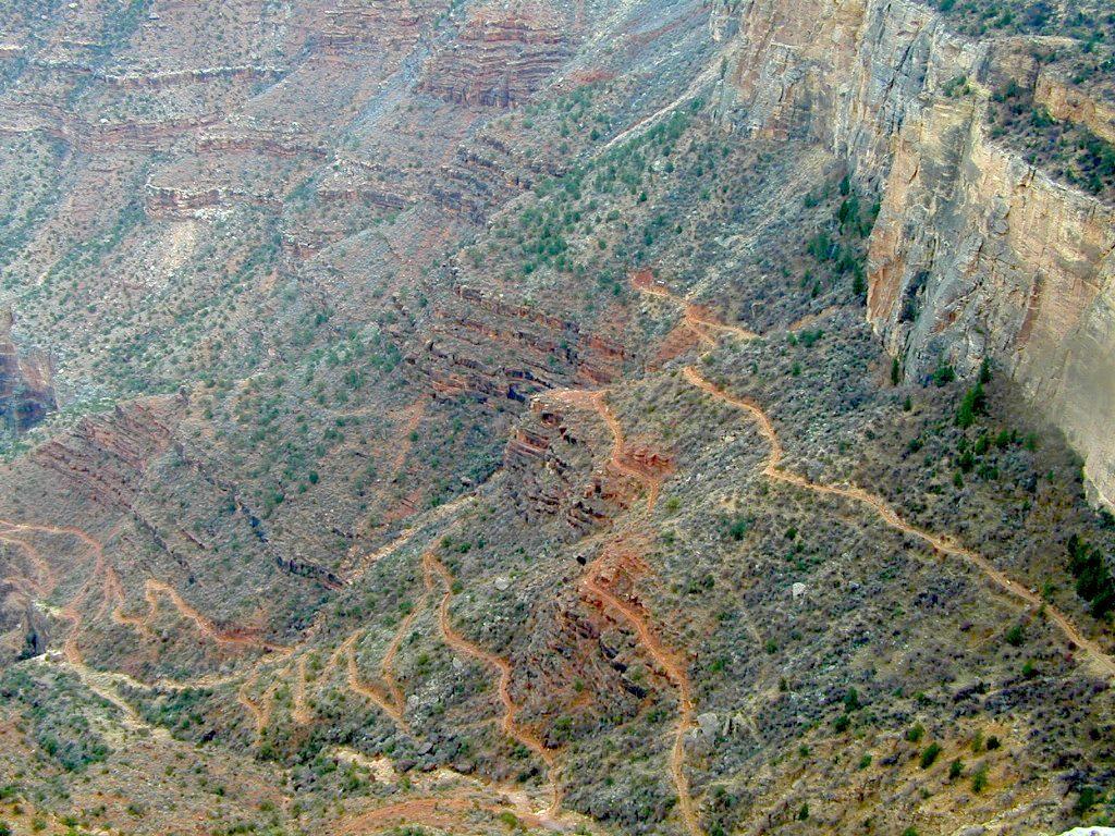
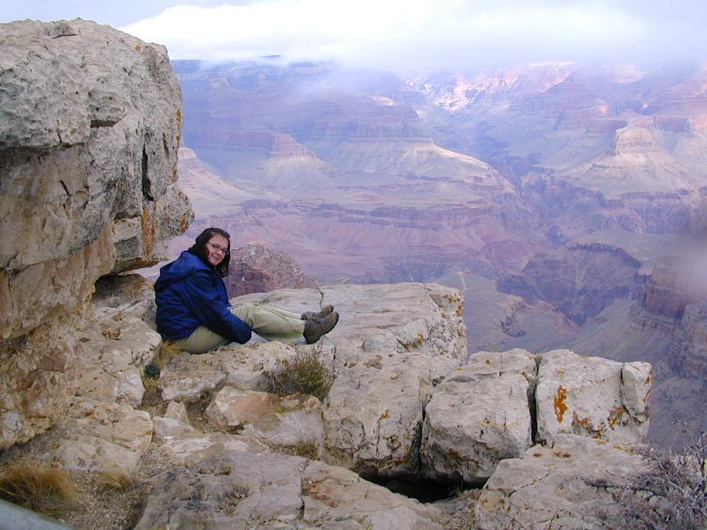
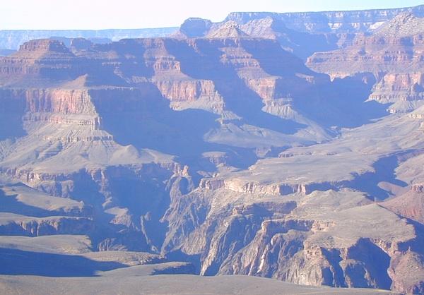
Grand Canyon National Park Map
Flagstaff Sedona Map
Red Rock Las Vegas Map
Zion National Park Map