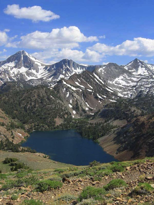
Minarets @ Mammoth
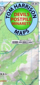
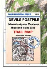
Devils Postpile Map
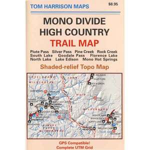
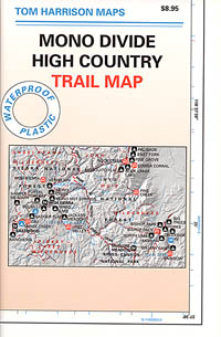
Tom Harrison
Devils Postpile National Monument
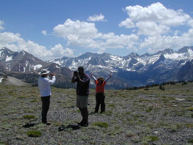
Minarets @ Mammoth Lakes
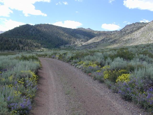
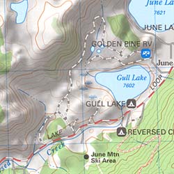
June Lake Loop
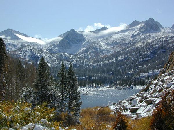
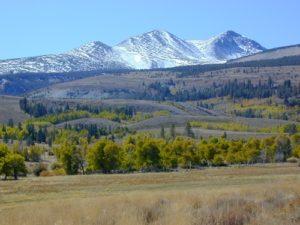
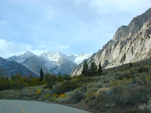
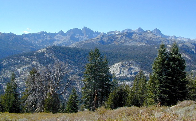
Eastern Sierra Mountains
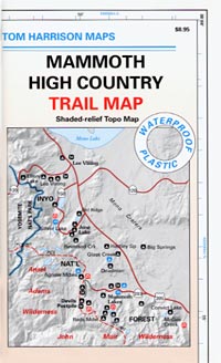
Tom Harrison Trail Map: Devils Postpile CA; Mammoth Lakes Area, Eastern Sierra Hikes; Cool California Geology, Camping Sierra Nevada mountains. Areas Include: Gem Lake, Minarets Hiking Trails, Rainbow Falls, Garnet Lake, Ritter Range, June Mountain, Mammoth Minarets, Agnew Meadows, Thousand Island Lake; Mammoth Lakes, Mammoth Hiking Backpacking Mammoth Lakes. Mammoth Trail Maps, Tom Harrison Topo Map Mammoth Hikes, Mammoth Mountains, Topo, Waterproof, Topographic Maps.
 Durable, waterproof plastic map; Folded. Map Scale: 40K; Tom Harrison brand ISBN# 9781877689673
![]() download digital version of this map –
download digital version of this map –
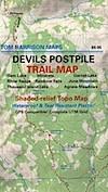
Devils Postpile Trail Map
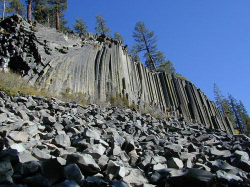
Post Piles @ Mammoth
PREVIOUS EDITION MAP
the details
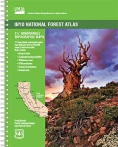
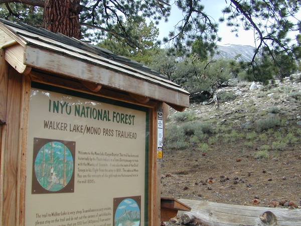
Inyo National Forest
Sierra National Forest
Ansel Adams Wilderness
REAL OLD MAP
nearby towns –
see also –
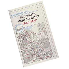
Mammoth Highcountry Trail Map
Mammoth Lakes Map NatGeo
Mono Divide Highcountry Map
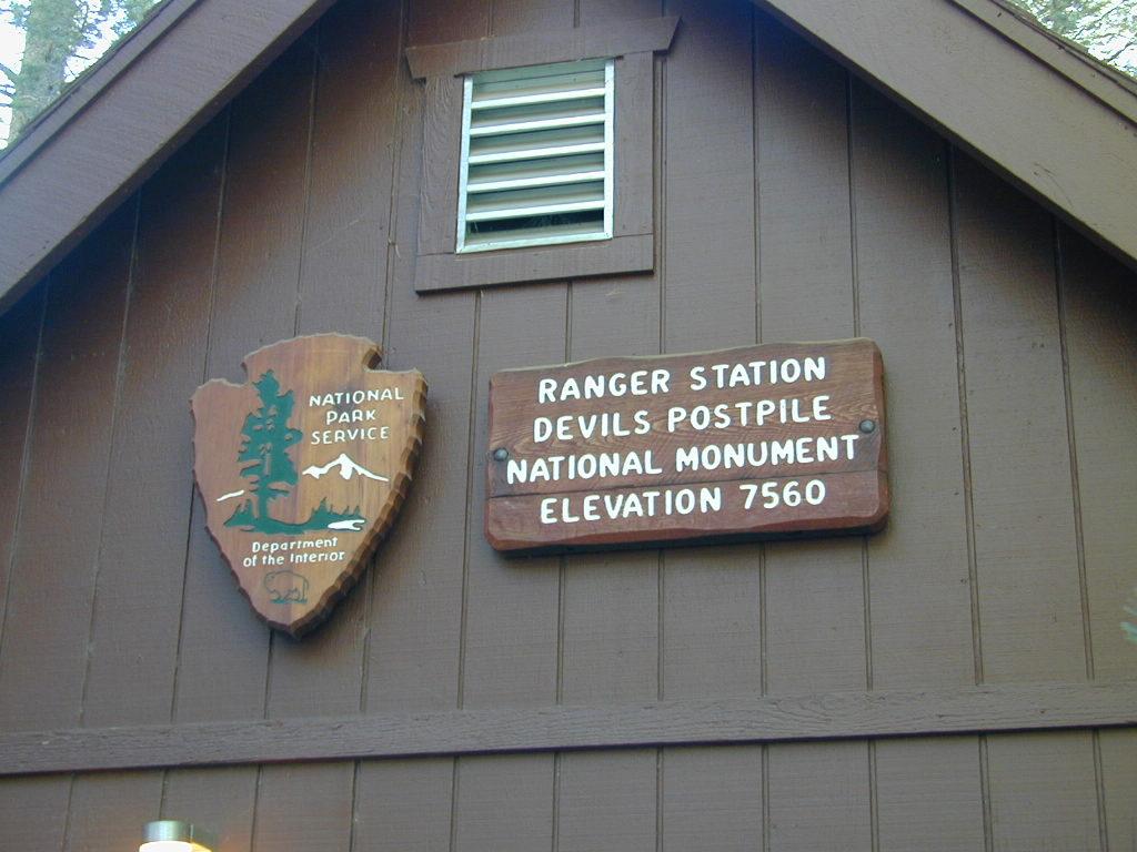
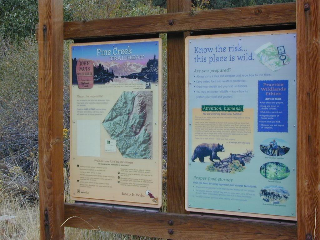
NPS Ranger Station
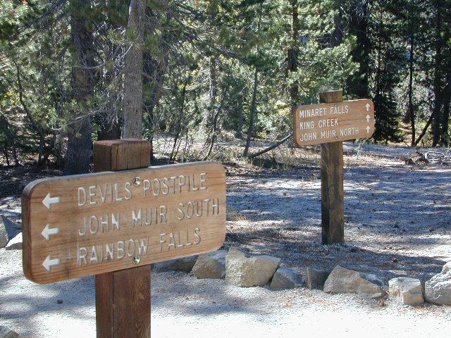
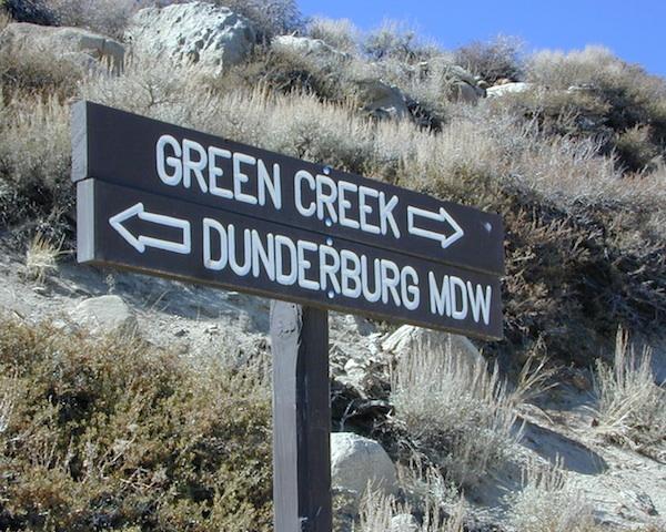
Trailheads @ Devils Post Pile National Monument