Spring Mountains
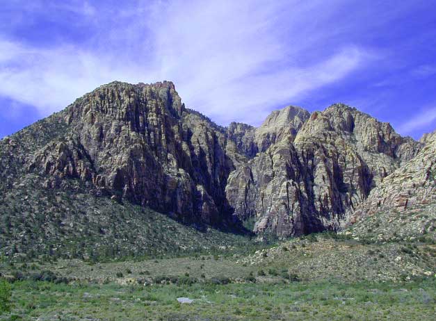
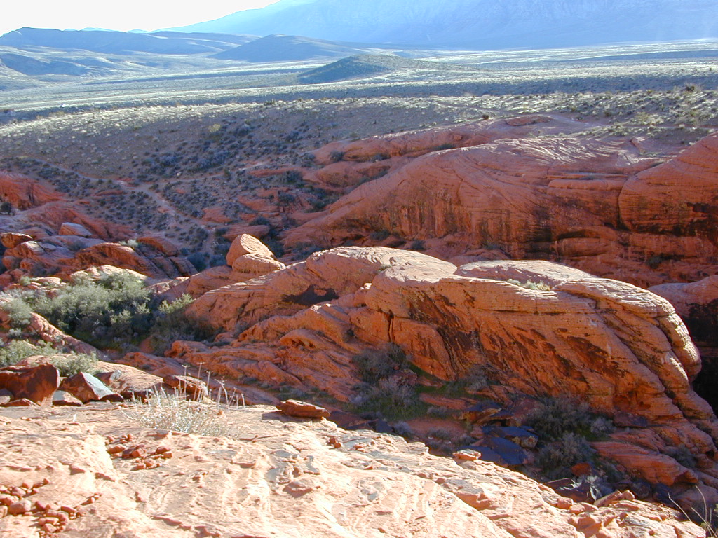
Red Rock Canyon
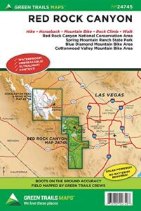
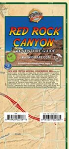
Vegas Hiking Map
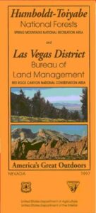
Spring Mountains National Recreation Area / Red Rock Canyon National Conservation Area / Las Vegas District BLM
Red Rock Canyon Map – VEGAS RED ROCK: BLM & USFS paper map includes a few parks and hiking trails near Las Vegas, NV. Humboldt Toiyabe National Forest, BLM lands, Spring Mountains National Recreation Area, plus the very popular attraction, Red Rock Canyon (only minutes outside of the city). Nevada Travel Outdoors. USDA National Forest Map. Printed on paper in 1997.
Red Rock Canyon Maps

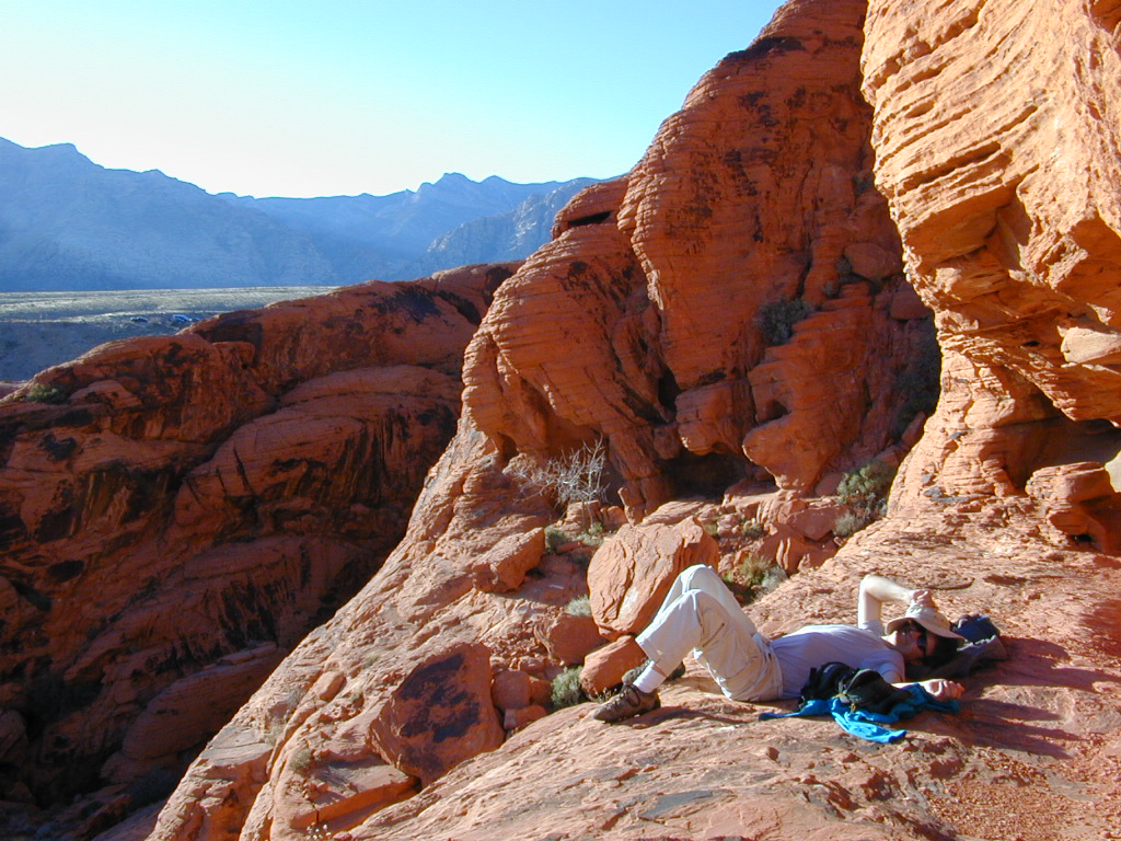
One of the cheapest winter vacations around – ONLY IF you can stay outta the casinos!
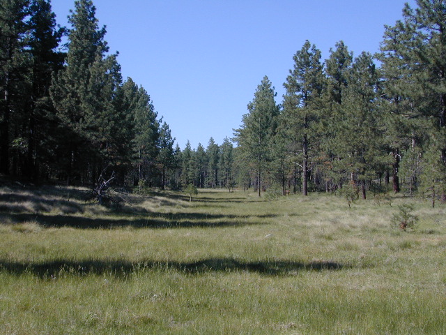
Desert day hikes, snow play, waterfalls (Mt Charleston) and petroglyphs (Valley of Fire), plus cheap hotel at night. Make VEGAS an outdoor destination, instead of an indoor, air-conditioned fantasy land.

Camping near Las Vegas can be windy during any time of year, or brutal triple-digit heat during the summer months.
Red Rock BLM Campground is located in a very windy location and situated near a busy main road. Best bet is to camp further up the mountain (Mount Charleston) – up in the canyons, with the trees, for a better experience. It can be colder in higher elevations, so always bring a jacket (at any time of year).
LOCALS TIP:
Valley of Fire State Park actually has a much better Campground than Red Rock.
see also –
Lake Mead Map
Flagstaff Sedona Map
Grand Canyon Maps
Mojave National Preserve Map
Death Valley Park Maps
Desert Maps
Eastern Sierra Maps
Arizona Books & Maps
Utah Maps