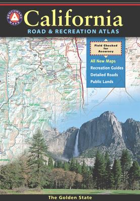
California Benchmark Atlas

Benchmark California Map

California Benchmark Atlas

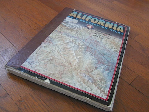
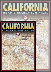
The best selling state atlas for the golden state – The California Road and Recreation Atlas

Benchmark California Atlas
California Driving Map. Topographic features, back roads map.

Best Overall Map: California Road & Recreation Atlas. This map books is the ideal state-wide map for any outdoor enthusiast. Excellent for exploring all of the golden state from the deserts of Southern California to the rivers of Northern California.

The Benchmark CA Atlas highlights include – all lakes, trailheads, Wilderness Areas, Campgrounds, National Forests, State Parks, National Parks, outdoor recreation destinations, plus extensive back roads (dirt & paved). This full color beauty is one of the most successful California map products of our time!

Recent editions have improvements: ground-cover detail at a very high-resolution.(forested, cultivated, marshland, desert, or scrub land). Extensively revised the 14-page Metro Map section; Complete Recreation Guide, page-to-page overlap and legendary accuracy. Printed on paper. 11th edition (2021) ISBN# 9781734315035

hikers map

NEW 2026 – 13th edition SPIRAL BINDING COVER
California Road and Recreation Atlas
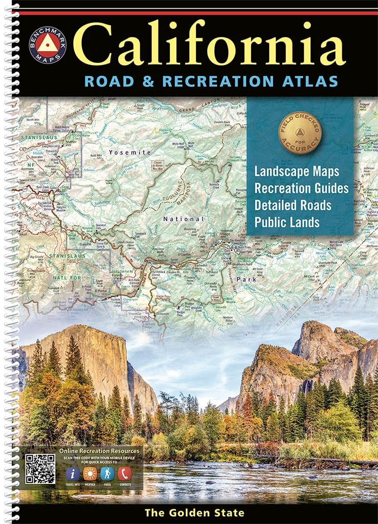
spiral binding

 

driftwood

California Benchmark Atlas


However, featured above is the current edition being sold, but DanaMite actually prefers the look of the less-digitized version – the popular 2nd edition (printed in 2000), shown below. Easier to read maps, less text, less information overall, less busy looking.

California Benchmark Atlas

California Benchmark Atlas

Well Used, Well Loved. 2000, Second Edition
US 395 map

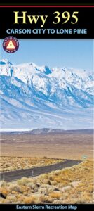
Benchmark US Hwy 395 Map

camp maps

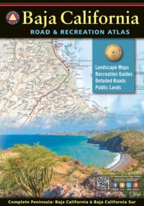
Baja California Atlas
by Benchmark Maps
baja benchmark atlas

see also –
Benchmark Atlases for other states
Timber Trail Route

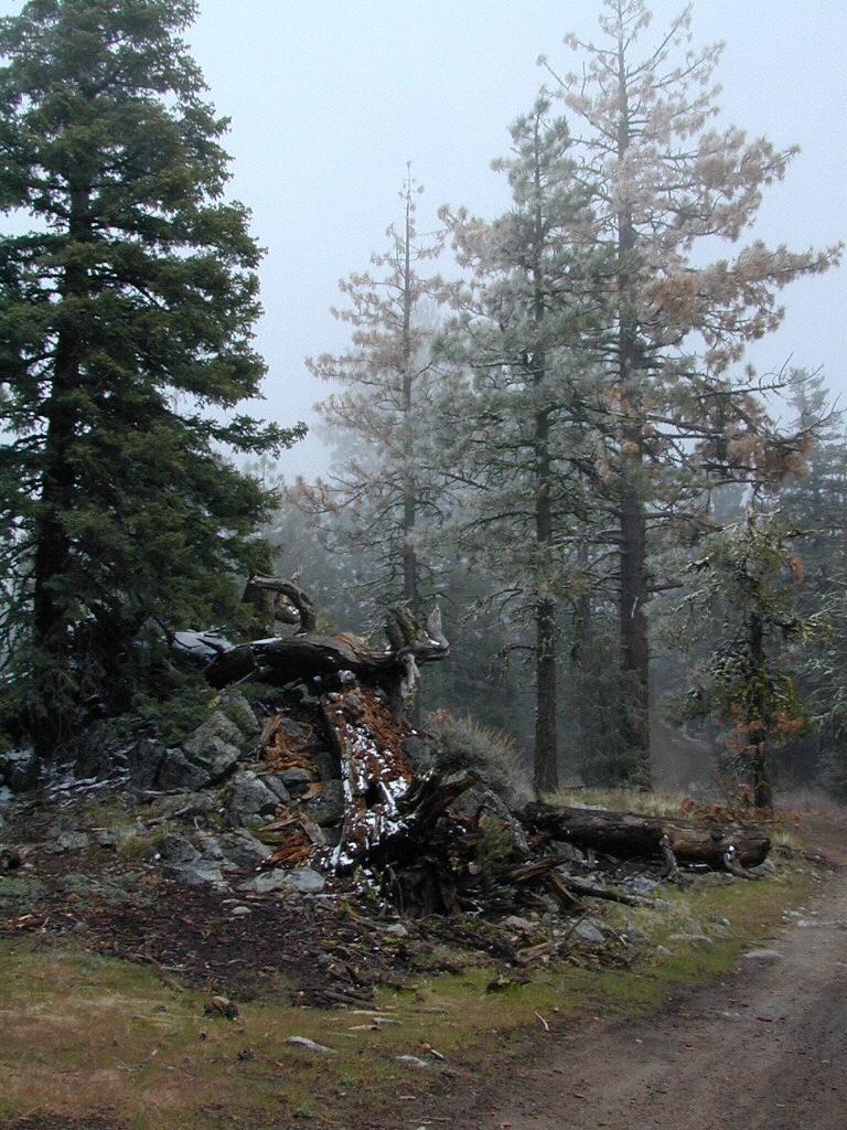
Timber Trail Route, Los Padres NF


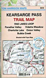
Kearsarge Pass Trail Map

Kearsarge Pass to Rae Lakes Loop
High Sierra, Eastern Sierra

Kearsarge Pass Map
Rae Lakes Loop Hike
Kearsarge Pass Hiking Map
Tom Harrison Maps

hikers map

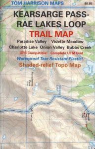
Kearsarge Pass Trail Map, Rae Lakes Loop, Onion Valley Hikes, Hiking John Muir Backpacking Maps Rae Lakes Loop. Onion Valley Campground; Eastern Sierra Trails, Kings Canyon High Country; Eastern Sierra, High Sierra Maps; Areas include: Rae Lakes Loop, Paradise Valley, Vidette Meadow, Charlotte Lake, Onion Valley, Bubbs Creek.

Durable, waterproof plastic map; Folded. Map Scale: 42K; ISBN# 9781877689840

National Forest MapsOnion Valley Campground NFS
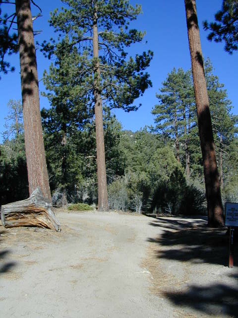
@ 9200′ elevation

camp map

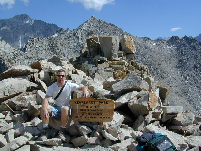
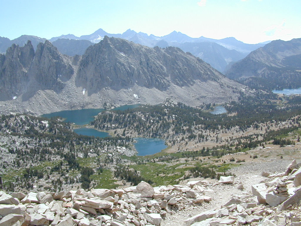
Kearsarge Pass @ 11,835′ elevation

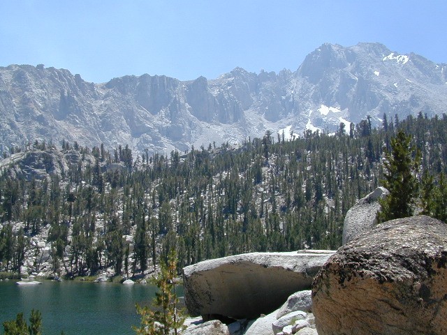
  • alpine lakes
  • backpacking
  • camping
  • climbing
  • fishing lakes
  • hiking
  • horse packing
  • granite peaks & pinnacles
  • waterfalls
  • wilderness
  • wildflowers

horse trail maps

see also –

Kings Canyon Highcountry Map
Sequoia Kings NP Map by NatGeo
Sequoia Kings NP Map by Tom Harrison
Inyo National Forest Map
Inyo Topo Atlas
John Muir Wilderness Maps

wow scenery

High Sierra Lakes Loop Hikes

nearby towns:
Big Pine, CA
Independence, CA
Lone Pine, CA

Kearsarge Pass Map

OLD EDITION

Kearsarge Pass Map

Hike Kearsarge Pass

Kearsarge Pass Map

RAE LAKES LOOP – OLD MAP

Kearsarge Pass Map

Kings Canyon High Country


Big Bear Trail Map

Big Bear Trail Map

Big Bear Trail Guide
by Franko Maps

Big Bear Trail Map

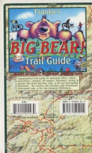
A colorful and detailed map of Big Bear Lake in California and the surrounding area. The map shows lake water depth and contours, streets, roads, trails, shaded relief, marinas, fuel docks, public launch ramps, beaches and camp sites. Fish found in the lake are illustrated and described. Side 2 has extensive info on regulations, safety, permits, waterway markers, recreational facilities, campgrounds and picnic areas.

Printed on durable, waterproof material. 12″ x 18″, folded 4.5″ x 6″ ISBN# 9781601901354

  • backpackBig Bear Trail Map
  • camp
  • climb
  • hike
  • lake recreation
  • mountain bike
Big Bear Trail Map

OLD VERSION

see also – Big Bear Trail Map

San Bernardino National Forest Map
San Bernardino Forest Atlas
San Bernardino Mountains
San Gorgonio Wilderness Trails Maps

Franko’s Fish Card for Big Bear Lake

Big Bear Lake California Map & Fish Guide

Big Bear Lake California Map & Fish Guide

holcombvalley

Holcomb Valley, Big Bear, California


Big Bear Trail Map

John Bull 4×4 Trailhead

Siskiyou Map

Northern Cal Rivers and Forests

Siskiyou Topo Maps, NorCal

The Siskiyou Mountains border the Oregon state line at deep rivers and dense wild land. Bigfoot country, or so they say. Forested, hard to access country, whitewater creeks and river canyons of northern California.

  • Siskiyou Wilderness is located inside California, northwest of the Klamath River and CA Highway 96.
  • Siskiyou National Forest is public land USDA in southern Oregon, west of Interstate 5, portions of which span into California.

hiking

Siskiyou Wilderness Trail Map

Siskiyou Wilderness MapSiskiyou Wilderness Map

2024: CURRENTLY OUT OF PRINT

Wilderness Area located inside California, west of the Klamath River and north of SR 96. Indian Creek marks the northern wilderness boundary, while Blue Creek defines the south end.

Elk Valley trailhead camp is a prime spot, tucked deep into the Wilderness, accessible by a paved back road from Highway 96.

Siskiyou Wilderness, part of Klamath & Six Rivers National Forest. California – Oregon border area. Northern California @ Happy Camp, Klamath River, Clear Creek, Independence Creek, Baldy Mountain, Curry Homestead, Poker Flat, Kelly Lake, Youngs Peak, Patrick Creek, Smith River, Raspberry Lake, Chicago Peak, Oregon Hikes, Devils Punchbowl, Buck Lake, Island Lake, Little Bear Valley, South Kelsey National Recreation Trail, Ship Mountain Lake, Bear Basin Butte, Little South Fork Waterfall, Harrington Lake, Elk Valley, Blue Creek, Muslatt Mountain, Deer Lick Lake, Beans Camp.

Scale 1″ = 1 mile; Waterproof plastic map paper. Perfect for a day hike reference or extended backpacking adventures. ISBN# 9781593514730

hiking


Wild Rivers OR

Siskiyou National Forest Maps

Oregon Camping & Hiking Topo Map

Siskiyou National Forest Map, Coos Bay, Northern California – Oregon border.

coos bay oregon

Siskiyou Hiking Maps, Topographical Maps Grant Pass, Brookings, Gold Beach, Cave Junction, Powers, Merlin, OR. Hwy 199, Snow Camp Lookout, Agness, Big Pine Trail, Port Orford, Pearsoll Fire Lookout Tower, Oregon Maps, Whitehorse Campground, Schroeder, Lake Selmec, Almeda Park Camping, Indian Mary Campground, Hog Creek, Harris Beach State Park, Humbug Mountain State Park Oregon. Printed on paper in 1997

Siskiyou Peaks:
Klamath Knot to Ashland 

NFS

USFS, United States Forest Service – aka National Forest Service