Siskiyou Map

Northern Cal Rivers and Forests

Siskiyou Topo Maps, NorCal

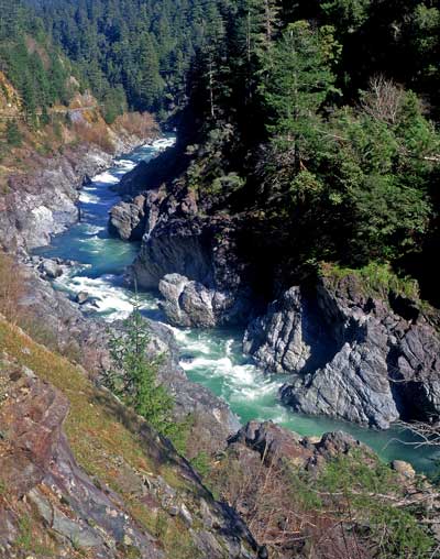
The Siskiyou Mountains border the Oregon state line at deep rivers and dense wild land. Bigfoot country, or so they say. Forested, hard to access country, whitewater creeks and river canyons of northern California.

  • Siskiyou Wilderness is located inside California, northwest of the Klamath River and CA Highway 96.
  • Siskiyou National Forest is public land USDA in southern Oregon, west of Interstate 5, portions of which span into California.

hiking

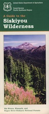
Siskiyou Wilderness Trail Map

Siskiyou Wilderness MapSiskiyou Wilderness Map

2024: CURRENTLY OUT OF PRINT

Wilderness Area located inside California, west of the Klamath River and north of SR 96. Indian Creek marks the northern wilderness boundary, while Blue Creek defines the south end.

Elk Valley trailhead camp is a prime spot, tucked deep into the Wilderness, accessible by a paved back road from Highway 96.

Siskiyou Wilderness, part of Klamath & Six Rivers National Forest. California – Oregon border area. Northern California @ Happy Camp, Klamath River, Clear Creek, Independence Creek, Baldy Mountain, Curry Homestead, Poker Flat, Kelly Lake, Youngs Peak, Patrick Creek, Smith River, Raspberry Lake, Chicago Peak, Oregon Hikes, Devils Punchbowl, Buck Lake, Island Lake, Little Bear Valley, South Kelsey National Recreation Trail, Ship Mountain Lake, Bear Basin Butte, Little South Fork Waterfall, Harrington Lake, Elk Valley, Blue Creek, Muslatt Mountain, Deer Lick Lake, Beans Camp.

Scale 1″ = 1 mile; Waterproof plastic map paper. Perfect for a day hike reference or extended backpacking adventures. ISBN# 9781593514730

hiking


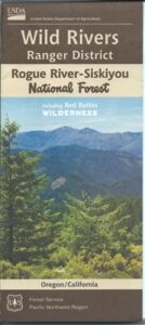
Wild Rivers OR

Siskiyou National Forest Maps

Oregon Camping & Hiking Topo Map

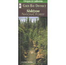
Siskiyou National Forest Map, Coos Bay, Northern California – Oregon border.

coos bay oregon

Siskiyou Hiking Maps, Topographical Maps Grant Pass, Brookings, Gold Beach, Cave Junction, Powers, Merlin, OR. Hwy 199, Snow Camp Lookout, Agness, Big Pine Trail, Port Orford, Pearsoll Fire Lookout Tower, Oregon Maps, Whitehorse Campground, Schroeder, Lake Selmec, Almeda Park Camping, Indian Mary Campground, Hog Creek, Harris Beach State Park, Humbug Mountain State Park Oregon. Printed on paper in 1997

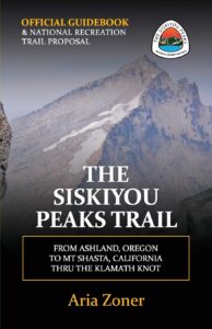
Siskiyou Peaks:
Klamath Knot to Ashland 

NFS

USFS, United States Forest Service – aka National Forest Service

Klamath Forest Topo Atlas

Klamath Atlas

USDA Topographic Atlas

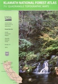
Klamath National Forest Atlas

Camping Klamath / Kayaking Klamath / Klamath River Fishing

Klamath National Forest AtlasThe KLAMATH FOREST atlas, is a spiral bound book – a collection of all the quads (7½ minute topographical maps) of all of the Klamath National Forest back country. This book map has detailed topo lines, mountain peaks, streams, lakes, hiking trails, trailheads and all back roads.

Perfect for all kinds of recreational needs. Published in 2010 with the USDA (United States Department of Agriculture)Klamath National Forest Atlas

Klamath National Forest

Klamath River

Klamath National Forest Atlas

Klamath National Forest Atlas

Klamath Camping, Klamath River Fishing, Klamath California, Klamath Redwoods, NorCal Camping, Siskiyou County, Siskiyou Camping, Lakes, Rivers, All Dirt Roads, Off Road Routes, Northern California Hunting, Kayaking Creeks, Rafting Klamath, CA SR 96, California Highway 96, Yreka Mountains, Beaver Creek, Eagles Nest, Scott River Road, Scott Bar, Horse Creek, Grider Creek, Walker Creek, Seiad Valley, Seiad Creek, China Grade, Happy Camp, Elk Creek, Goosenest, Oak Knoll, Salmon River, Ukonom, Juanita Lake, Martins Dairy, Orr Lake, Shafter Campground, Curly Jack, Norcross, O’Neill Creek, Sarah Totten, Sulphur Springs Campground, West Branch, Fort Goff, Mount Asland, Tree of Heaven Campground, Big Flat, Hotelling Campground, Idlewild Campground, Matthews Creek, Mulebridge, Red Bank, Shadow Creek, Bridge Flat, Carter Meadows, Hidden Horse, Indian Scotty, Kangaroo Lake, Trail Creek, Beans Camp, Dillon Creek, Frog Pond, Nordheimer, Crystal Springs, Oak Bottom, Ti-Bar Flat TiBar, TBar, Ti Bar river access, Lovers’ Camp Northern California, Big Foot Country

Klamath National Forest AtlasKlamath National Forest Atlas


Klamath National Forest Atlas

Pacific Crest Trail Maps
for NorCal – Klamath region

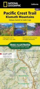
PCT Map Klamath NF

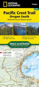
PCT Oregon South

trail map

see also –

nearby towns –

CA96

CA Hwy 96, known for rock slides & closures

Callahan, CA
Etna, CA
Fort Jones, CA
Happy Camp, CA
Klamath River
Orleans, CA
Seiad Valley
Somes Bar
Yreka, CA

NFS or USFS

Klamath USFS ranger stations:

Klamath National Forest Headquarters
1711 South Main Street
(Highway 3: Fort Jones Road)
Yreka, California 96097
530-842-6131

Macdoel Ranger Station USFS
Goosenest Ranger District
Butte Valley National Grassland
37805 Highway 97, Macdoel, CA 96058
530-398-4391

Happy Camp Ranger Station USFS
Oak Knoll Ranger District
63822 Highway 96, Happy Camp, CA 96039
530-493-2243

Fort Jones Ranger Station
Salmon River USFS
Scott River Ranger District
11263 Highway 3, Ft Jones, CA 96032
530-468-5351

ranger stations

Marble Mountain Wilderness Map

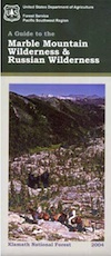
Marble Mountain / Russian Wilderness Map

Marble Mountain Wilderness MapMarble Mountain Wilderness Map USDA

Marble Mountain Wilderness Map

Klamath River / Marble Mountains / Russian Wilderness
Marble Mountain Wilderness

Klamath National Forest

Marble Mountain Wilderness Map

OLDER VERSION

Yreka, Happy Camp, Klamath River, Salmon River, Scott River, Fort Jones, Orleans, Cuddihy Lake, Upper Albert Lake, Russian Wilderness.

Perfect for a day hike reference or extended backpacking adventures. 1″ & 2″ to mile; Waterproof plastic map paper. This map can usually be found at local Ranger Stations. ISBN# 9781593514204

NorCal:
best guide book for wild

Cliff Lake Backpacking Trip, Marble Mountain Wilderness, California, Aug 2007

horse trail mapsThe Marble Mountain  Wilderness is an area of high divides, deep canyons and perennial mountain streams provides habitat for a wide variety of plant and animal life. With more than 7,000 feet of vertical relief, soils from several rock types, and abundant rain and snowfall, the diversity of ecosystems is unequaled anywhere else in the country.

fishing mapWith 89 lakes and two major Wild and Scenic river systems – Wooley Creek and the North Fork Salmon River, as well as 32 miles of the Pacific Crest Trail, there are many recreation opportunities. Elevations range from 400 to 8,299 feet; the wilderness has highly variable terrain with low-elevation canyons and high ridges such as the 22-mile-long English Peak ridge.

Popular activities include fishing, backpacking, mountaineering, rock climbing, and cross-country skiing.

camp map

There are also numerous caves within this wilderness, accessible to prepared spelunkers. They all feature stalactites and other flowstone formations, and are accessible mostly by vertical drops. Due to the hidden nature of most of the cave mouths, caving is not regulated, though the Forest Service and National Speleological Society request only experienced cavers attempt to access these dangerous caves. Signs at the trail heads that access the Marble Rim warn of white nose syndrome. One of the deepest caves in the continental US is located in the wilderness, Bigfoot Cave.

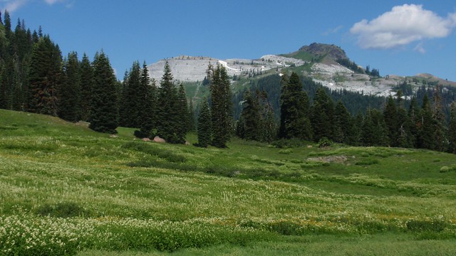
Sky High Basin 05

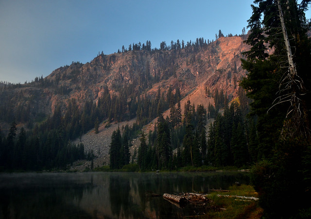
Summit Lake