Lake Tahoe Maps

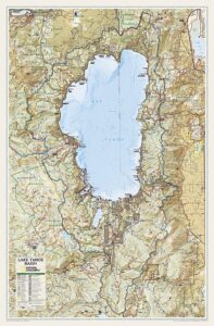
Maps of Lake Tahoe California

Lake Tahoe Maps

Lake Tahoe Maps come in all shapes and sizes. For example, National Geographic makes a large Wall Map for display, listed at the bottom of this page. Furthermore, many recreation maps covering a wide range of activities, are also found for the Tahoe region.

Listed are topographic maps for fishing, day hiking, mountain biking, peak climbing, backpacking, camping, off-roading, cross country skiing, as well as back country snow skiing.

Backcountry Ski Maps for TahoeLake Tahoe Maps

Ski Maps Tahoe N

Tahoe Ski Map

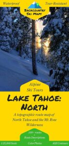
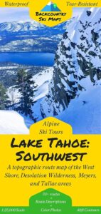
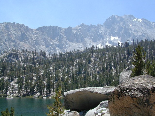
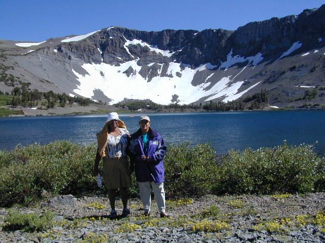
Lake Tahoe is one of the most popular destinations in all the Sierra Nevada mountains. Its proximity to Interstate 80 (Donner Pass), in addition to large cities such as – Reno, Nevada and Sacramento, California – make it an easy to reach location that is focused on outdoor recreation vacations. Snow is usually present more than half the year, and winter blizzards can blow hard in these higher elevations. Be prepared drive with chains and enjoy being snowed-in, when the real dumping starts. Consequently, be ready to escape to the indoors, with the casinos of South Lake Tahoe.

Largest freshwater, alpine lake in North America.
Second deepest lake in the U.S.
Second highest lake in the U.S.

LAKE TAHOE – 6625′ elevation above sea level

Franko Maps
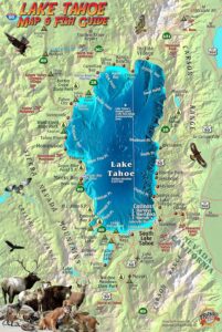
Lake Tahoe Map & Fish Guidefishing map

Franko Map Tahoe Fish

Tahoe Wall Map in Tube
Lake Tahoe Wall Map

Emigrant Wilderness Maps

Several map makers have waterproof topo maps covering the Emigrant Wilderness Area. Some have more than one wilderness per map, so know the MAP SCALE before you buy one, especially if you need it for an overnight backpacking adventure with super details.

Day hikes into EMIGRANT WILDERNESS AREA from – Sonora Pass (Hwy 108) or Yosemite @ Cherry Lake (Hwy 120).

Emigrant Wilderness – Central Sierra Nevada California

Emigrant Wilderness Maps

Emigrant Wilderness Map USDA

Emigrant Wilderness, South of CA 108 – Sonora Pass
part of Stanislaus NF and north of Yosemite National Park

Emigrant Wilderness Maps

OLD VERSION

High Sierra with deep snows close this region annually. Check local rangers for all road conditions, fire info, trail access points before departing on a backcountry trip. Wilderness permits and campfire permits are always required!

Waterproof Plastic Paper. 1″ to mile; Usually only found at Ranger Stations – Hard to find maps. Perfect for a day hike reference or extended backpacking adventures. Printed on plastic in 2016. ISBN# 9781628114133

Emigrant Wilderness Maps

Emigrant Wilderness Trail Map
Tom Harrison

Tom Harrison Trail Map: Emigrant Wilderness Map Trail Map, Sonora Pass Map, Sierra Nevada; Kennedy Meadows, CA. Pinecrest Lake, Dodge Ridge, Relief Reservoir, Leavitt Lake, Leavitt Meadows, The Dardanelles, Eagle Meadows; Sonora River fishing, Dardanelle CA. Durable, waterproof plastic map; Folded. Map Scale: 63.4K; ISBN# 9780989457910

Emigrant Wilderness Maps

previous version

NatGeo Wilderness Areas: Carson Iceberg, Emigrant & Mokelumne

Emigrant Wilderness Maps

Sonora Pass exploring, in search of wildflowers (mid-JULY)

Wilderness Press Topo Map: Yosemite & Vicinity

Kearsarge Pass Trail Map

Kearsarge Pass to Rae Lakes Loop
High Sierra, Eastern Sierra

Kearsarge Pass Map
Rae Lakes Loop Hike
Tom Harrison Maps

Kearsarge Pass Trail Map, Rae Lakes Loop, Onion Valley Hikes, Hiking John Muir Backpacking Maps Rae Lakes Loop. Onion Valley Campground; Eastern Sierra Trails, Kings Canyon High Country; Eastern Sierra, High Sierra Maps; Areas include: Rae Lakes Loop, Paradise Valley, Vidette Meadow, Charlotte Lake, Onion Valley, Bubbs Creek.

Durable, waterproof plastic map; Folded. Map Scale: 42K; ISBN# 9781877689840

avenza mapsdownload digital version of this map –
Kearsarge Pass Map

hikers map

National Forest Maps
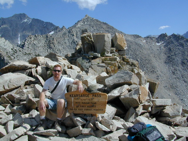
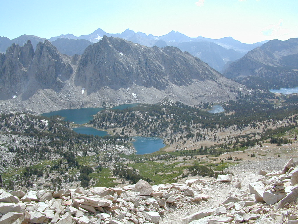
Onion Valley Campground NFS
@ 9200′ elevation

Kearsarge Pass @ 11,835′ elevation

  • alpine lakes
  • backpacking
  • camping
  • climbing
  • fishing lakes
  • hiking
  • horse packing
  • granite peaks & pinnacles
  • waterfalls
  • wilderness
  • wildflowers

horse trail maps

see also –

Kings Canyon Highcountry Map
Sequoia Kings NP Map by NatGeo
Sequoia Kings NP Map by Tom Harrison
Inyo National Forest Map
Inyo Topo Atlas
John Muir Wilderness Maps

wow scenery

High Sierra Lakes Loop Hikes

nearby towns:
Big Pine, CA
Independence, CA
Lone Pine, CA

Kearsarge Pass Map

OLD EDITION

Kearsarge Pass Map

Hike Kearsarge Pass

Kearsarge Pass Map

RAE LAKES LOOP – OLD MAP

Kearsarge Pass Map

Kings Canyon High Country