Bishop Pass Map

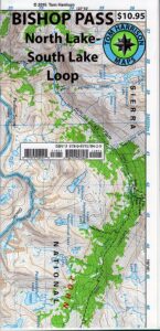
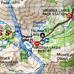
Bishop Pass Topo Map

Bishop Hiking Eastern Sierra

  • North Lake – 9500′ elev
  • Piute Pass – 11,423′
  • Lake Sabrina – 9132′
  • South Lake – 9755′

Bishop Pass Trail Map
Tom Harrison

Bishop, CA – located along US Hwy 395 is a hub for travelers and locals alike, in the high desert valley next to the Eastern Sierra range.

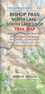
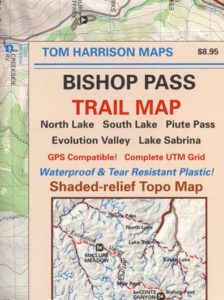
Tom Harrison Trail Map: Bishop Pass Maps, Backpacking Bishop CA; North Lake & South Lake Loop, Evolution Valley. PCT, John Muir Wilderness, LeConte Divide, Inyo National Forest, Inyo High Country, Sierra High Country; Sierra Nevada Passes; Hiking near Mount Whitney Backpacking Trip, california sierra camping; Durable, waterproof plastic map; Folded. Map Scale: 48K; ISBN# 9781877689680

avenza mapsdownload digital version of this map –
Bishop Pass Hiking Map

Bishop Pass Map

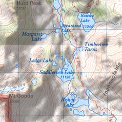
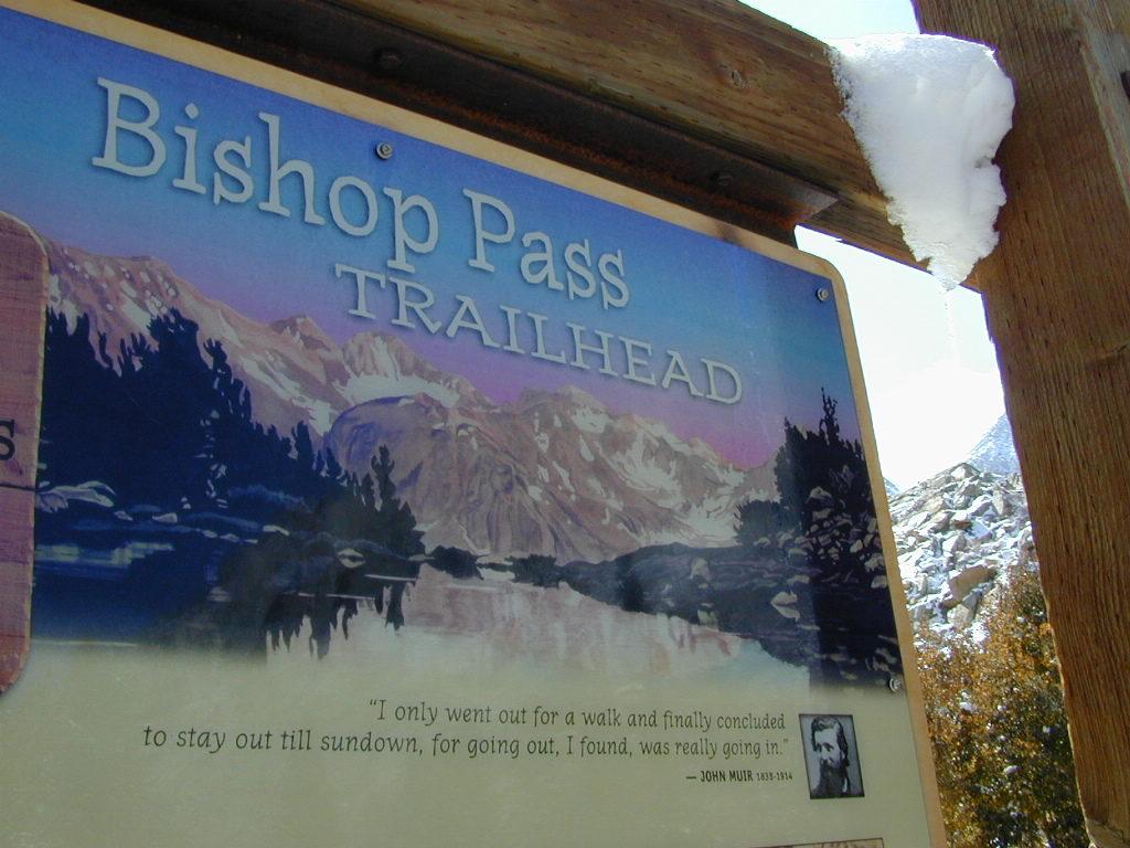
Bishop Pass @ 11,972′ elevation is a high mountain pass in the southern Sierra Nevada, California, on the border of the Inyo National Forest. John Muir Wilderness is located to the north and Kings Canyon National Park to the south. The Bishop Pass

Connecting the Bishop Creek valley with the John Muir Trail & Pacific Crest Trail. Bishop Pass is located west of Mount Agassiz, surrounded by multiple alpine lakes in the Dusy Basin and the Bishop Lake basin.
Bishop Pass Map

High Sierra backcountry access to –

Bishop Pass Map

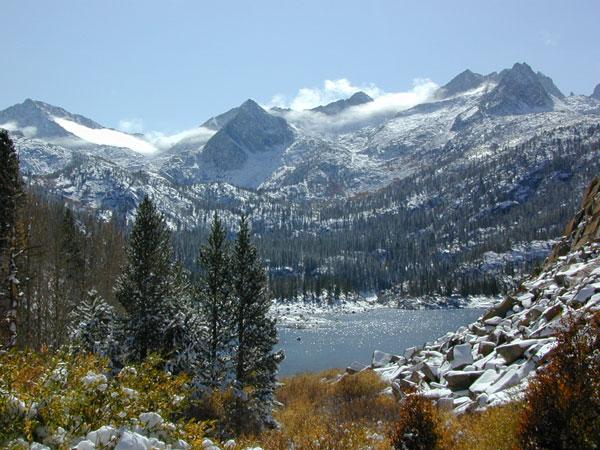
South Lake, above Bishop, California

see also –

Bishop Pass Map

previous edition

Bishop Pass Map

Piute Pass Hiking

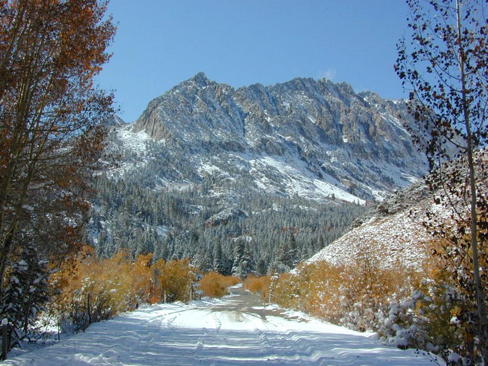
Piute Pass & Piute Crags near North Lake
Bishop Pass Map

OLDER EDITION

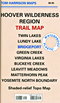
Hoover Wilderness Map

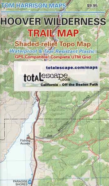
Hoover Wilderness Trail Map
Tom Harrison Topo Map

Hoover Wilderness Trail Map, Bridgeport California Backpacking High Sierra CA; Twin Lakes Hoover trailhead access, Lundy Lake, Green Creek Fishing Camping, Virginia Lakes Eastern Sierra, Buckeye Creek Campgrounds, Buckeye Hot Springs, Leavitt Meadows, Matterhorn Peak, Yosemite Park north boundary, Hoover Trail Maps; Fishing lakes, horseback trails, creeks, peaks and more high country bliss. Autumn colors are spectacular in this region.

Durable, waterproof plastic map; Folded. Map Scale: 63.36K; ISBN# 9781877689895

avenza mapsdownload digital version of this map
Hoover Wilderness Map

Hoover Wilderness Map

area attractions

hooverpeaks

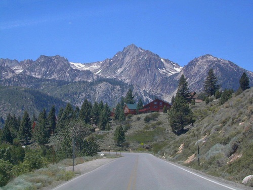
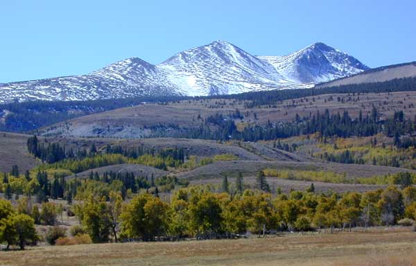
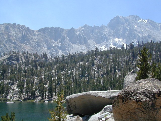
Mountain peaks in Hoover Wilderness tower above Twin Lakes, CA

Trails Illustrated Maps by National Geographic makes a Yosemite NORTH EAST map that covers Tuolumne Meadows, Tioga Pass and the Hoover Wilderness Area. Topographic, colorful, waterproof.hikers map

see also –

Toiyabe National Forest Map
Tuolumne Meadows Map
Yosemite Highcountry Map
Merced & Tuolumne Rivers Map

Sierra map

nearby towns:

Hoover Wilderness Map USDA

Hoover Wilderness Map

USDA Hoover Map

Hoover Wilderness (Part of Southern Toiyabe NF), Bridgeport California; Green Creek, Twin Lakes, Hiking trails, topographic.

Paper Map might be found only at USFS Ranger Stations – Toiyabe National Forest

1″ to mile; Perfect for a day hike reference,hiking to fishing lakes or an extended backpacking adventure. Way less crowded than the western side of the Sierra Nevada mountains.

hoover

Dunderburg Meadow, east of Hoover Wilderness

Backpacking Hoover Wilderness, Topo, Hiking Trails, Southern Toiyabe NF, Bridgeport California; Green Creek, Twin Lakes Hiking, Backpacking Bridgeport, Sierra Nevada, Toiyabe Forest, Eastern Sierra Hikes

Hoover Wilderness Map

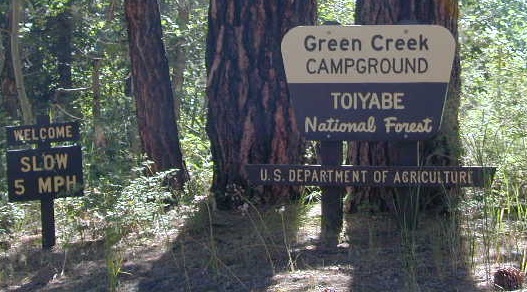
Green Creek has trailheads to Hoover Wilderness


Hoover Wilderness Map

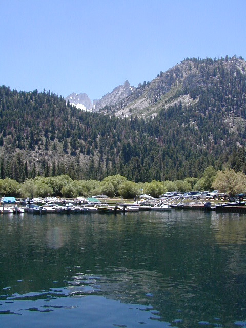
Twin Lakes is located on the east side of Hoover, while Yosemite lies on the west.

Hoover Wilderness Map

OLDER VERSION

Hoover Wilderness Map

REAL OLD MAP

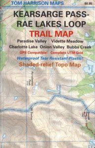
Kearsarge Pass Trail Map

Kearsarge Pass to Rae Lakes Loop
High Sierra, Eastern Sierra

Kearsarge Pass Map
Rae Lakes Loop Hike
Tom Harrison Maps

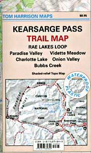
Kearsarge Pass Trail Map, Rae Lakes Loop, Onion Valley Hikes, Hiking John Muir Backpacking Maps Rae Lakes Loop. Onion Valley Campground; Eastern Sierra Trails, Kings Canyon High Country; Eastern Sierra, High Sierra Maps; Areas include: Rae Lakes Loop, Paradise Valley, Vidette Meadow, Charlotte Lake, Onion Valley, Bubbs Creek.

Durable, waterproof plastic map; Folded. Map Scale: 42K; ISBN# 9781877689840

avenza mapsdownload digital version of this map –
Kearsarge Pass Map

hikers map

National Forest MapsOnion Valley Campground NFS
@ 9200′ elevation

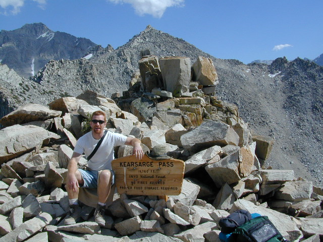
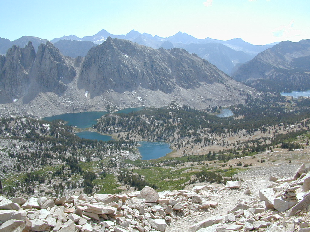
Kearsarge Pass @ 11,835′ elevation

  • alpine lakes
  • backpacking
  • camping
  • climbing
  • fishing lakes
  • hiking
  • horse packing
  • granite peaks & pinnacles
  • waterfalls
  • wilderness
  • wildflowers

horse trail maps

see also –

Kings Canyon Highcountry Map
Sequoia Kings NP Map by NatGeo
Sequoia Kings NP Map by Tom Harrison
Inyo National Forest Map
Inyo Topo Atlas
John Muir Wilderness Maps

wow scenery

High Sierra Lakes Loop Hikes

nearby towns:
Big Pine, CA
Independence, CA
Lone Pine, CA

Kearsarge Pass Map

OLD EDITION

Kearsarge Pass Map

Hike Kearsarge Pass

Kearsarge Pass Map

RAE LAKES LOOP – OLD MAP

Kearsarge Pass Map

Kings Canyon High Country