Joshua Tree National Park Map
![]()
Both Tom Harrison and NatGeo make awesome recreation maps of this popular SoCal desert. Numerous campgrounds, hiking trails, dirt roads, historic mines, and plenty rock climbing spots. In 1934, Joshua Tree was designated as a National Monument and then later became a National Park in 1994. The local Palm Springs Desert BLM office has paper maps that cover the desert canyon areas near Interstate 10.
![]()
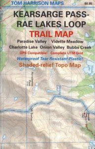
Joshua Tree Recreation Map
by Tom Harrison

Joshua Tree National Park Map, Climbing Joshua Tree Camping Backpacking Maps, Areas include: Black Rock Canyon, Hidden Valley, Barker Dam, Keys View, Lost Horse Valley, Lost Horse Mine, Ryan Mountain, Cholla Cactus Garden, Cottonwood Spring, Lost Palms Oasis, Geology Tour Road, Cap Rock, Jumbo Rocks, Wonderland of Rocks, Arch Rock. High Desert Yucca Valley; Durable, waterproof plastic map; Folded. Map Scale: 125K; ISBN# 9781877689536
![]() get a digital version of this map
get a digital version of this map
Joshua Tree Park Map by Tom Harrison
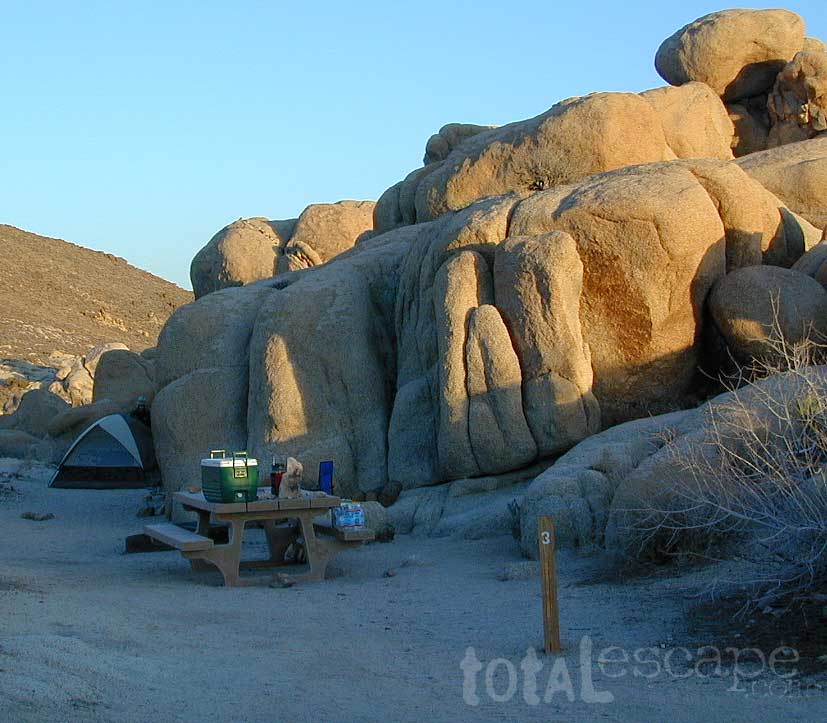
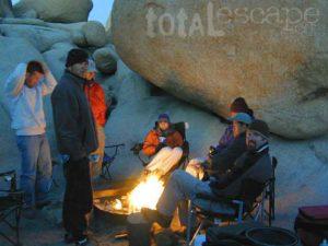
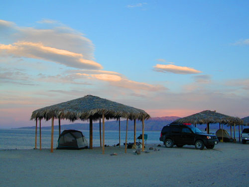
Quiet Camps in the Desert
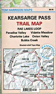
Joshua Tree National Park Map #226
by National Geographic

Trails Illustrated Map from National Geographic. Joshua Tree National Park Map #226. Joshua Tree Park Map, Camping & Hiking Map. Very detailed & colorful. Waterproof Plastic Map; Tear Resistant. GPS data. Scale 1:80,000 Contour Interval = 100 feet. ISBN# 9781566953009
![]() get a digital version of this map
get a digital version of this map
NatGeo Map 226 – Joshua Tree National Park

digital maps for download
![]()
Joshua Tree Maps can get you beyond the crowds, to the outlying places that few know about. Summers can be hot here in the High Desert at 4000′ elevation, but not as hot as the Palm Springs / Coachella Valley below.
Winters can be chilly and windy, especially with any storm front moving through SoCal. Snow is possible at this elevation. Low temps overnight can drop into the teens during certain times of year – so make sure to bring a zero degree sleeping bag and good thermal undies.
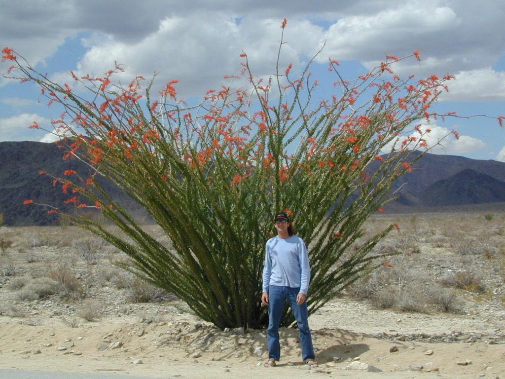
Spring (wildflowers) and autumn are ideal times to visit JTNP.
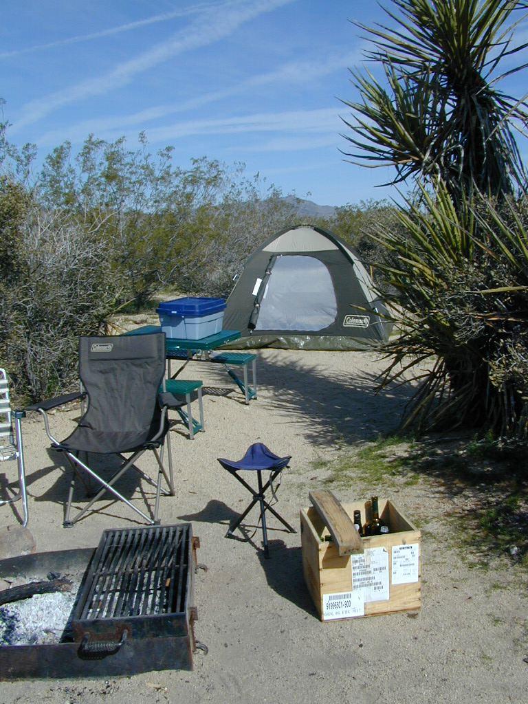
Camping Joshua Tree National Park Desert


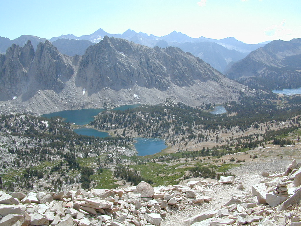
 Onion Valley Campground NFS