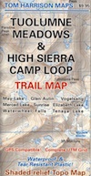
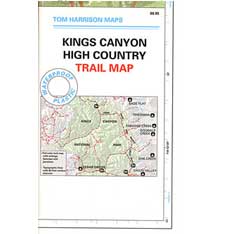
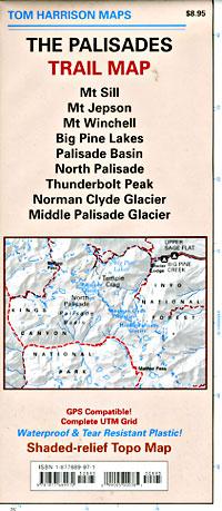
Tom Harrison Yosemite Maps

Yosemite Trail Maps
by Tom Harrison

Tom Harrison Yosemite Maps

Compact, waterproof, topographic maps for Yosemite National Park and surrounding high country. High Sierra, backcountry. Backpack, horse pack, trailheads, camps, mountain climbing every day!

Central Sierra Nevada mountains.
Tioga Pass = 9943′ elevation

Tom Harrison Yosemite Maps

Yosemite NP overview map –
Yosemite National Park Map
by Tom Harrison Maps

Tom Harrison Recreation Map

Yosemite National Park Map, Topo Map Yosemite Parks Trails, Hiking Trails Yosemite overview Map; GPS compatible, UTM grid; Shaded relief topo map. Durable, waterproof plastic map; Compact and folded. Map Scale: 125K; ISBN# 9781877689505


Tom Harrison Yosemite Maps

Yosemite Valley Trails Map

Tom Harrison Yosemite Maps

Waterfalls & Half Dome Hiking Trail Map

Tom Harrison Yosemite Maps

Tuolumne Meadows & High Sierra Camps
(OUTTA PRINT)

Tom Harrison Yosemite Maps

Yosemite High Country Trail Map
(OUTTA PRINT)

Tom Harrison Yosemite Maps

see also –

NatGeo Yosemite Maps
Ansel Adams Wilderness
Hoover Wilderness Trail Map
John Muir Wilderness Maps

Tom Harrison Yosemite Maps

Kings Canyon High Country Map

Kings Canyon Topo Map

Kings Canyon Wilderness Map

Tom Harrison Trail Map: Kings Canyon High Country Trail Map. Areas include: Rae Lakes, Paradise Valley, Cedar Grove, Kearsarge Pass, LeConte Canyon, Crown Valley, Tehipite Valley, Blackcap Basin; John Muir PCT Wilderness Map, Pacific Crest Trail, US Hwy 395 Eastern Sierra Nevada; Backpacking High Sierra, Hiking Backpacking Kings Canyon National Park.

Durable, waterproof plastic map; Folded. Map Scale: 63K; ISBN# 9781877689451

Kings Canyon Wilderness Map

Granite peaks around Kearsarge Pass are simply awesome

Kings Canyon Wilderness Trail Maps

Kings Canyon Wilderness Map

avenza mapsdownload digital version of this map –
Kings Canyon High Country Map

fishing map

Kings Canyon Wilderness Map

OLD EDITION

Kings Canyon National Park NPS

Kings Canyon Wilderness Map

see also –
Kearsarge Pass Trail Map
Sequoia Kings NP Map by NatGeo
Sequoia Kings Map by Tom Harrison
JMT – John Muir Wilderness Maps
Mineral King Topo Map

nearby destinations –Kings Canyon Wilderness Map

"<yoastmark

John Muir Trail Books

Find John Muir Trail Maps

John Muir Trail

Photo credit copyright Mike Strickland

JMT: John Muir Trail & John Muir Wilderness

John Muir Trail Books

John Muir Trail Books

John Muir Trail Books

John Muir Trail Books

John Muir Trail Books

JMT

The John Muir Trail is a long-distance trail in the Sierra Nevada mountain range of California, passing through Yosemite, Kings Canyon and Sequoia National Parks. From the northern terminus at Happy Isles in Yosemite Valley and the southern terminus located on the summit of Mount Whitney, the Trail’s length is 213.7 miles, with a total elevation gain of approximately 47,000 feet. For almost all of its length, the trail is in the High Sierra backcountry and wilderness areas. For about 160 miles, the trail follows the same footpath as the longer Pacific Crest Trail. It is named after John Muir, the famous naturalist.

The JMT is 213.7 miles long. From its northern terminus in Yosemite Valley, the trail runs southeast, passing south of Half Dome and then on to Tuolumne Meadows. From Tuolumne Meadows the trail turns south, running parallel to the main range of the Sierra Nevada, through Yosemite National Park, Inyo and Sierra national forests (including the John Muir Wilderness and Ansel Adams Wilderness), passing through Devils Postpile National Monument, Kings Canyon National Park, and ending on Mount Whitney in Sequoia National Park. From the southern terminus of the JMT at the summit of Mount Whitney, an additional 10.6-mile hike on the Mount Whitney Trail is required to reach the nearest trailhead at Whitney Portal, thus making an end-to-end traverse of the JMT effectively 221 miles.

see also

John Muir Wilderness Map 
PCT Pacific Crest Trail Books

John Muir Trail Books

Little Pot Hole Lake, Kearsarge Pass Hike from Onion Valley

John Muir Trailhead locations:

Palisades Trail Map

Palisades Trail Map
by Tom Harrison Maps

Eastern Sierra / Palisade Glacier / Norman Clyde Glacier

Tom Harrison Map: The Palisades Trail Map, Bishop Pass Area, Backpacking High Sierra; Areas include: Mount Sill, Mount Jepson, Mount Winchell, Big Pine Lakes, Palisades Basin, North Palisade, Thunderbolt Peak, Norman Clyde Glacier, Middle Palisade Glacier, Inyo National Forest, Inyo High Country, Sierra High Country; Hiking Maps Backpacking Trip, California Sierra Camping.

Palisades Trail Map

OLDER EDITION

Durable, Shaded-relief topographic map printed on waterproof plastic; GPS Compatible – Complete UTM Grid. Folded. Map Scale: 31.7K; ISBN# 9781877689970

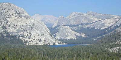
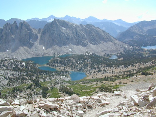
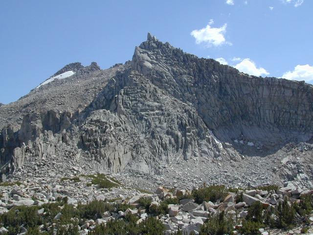
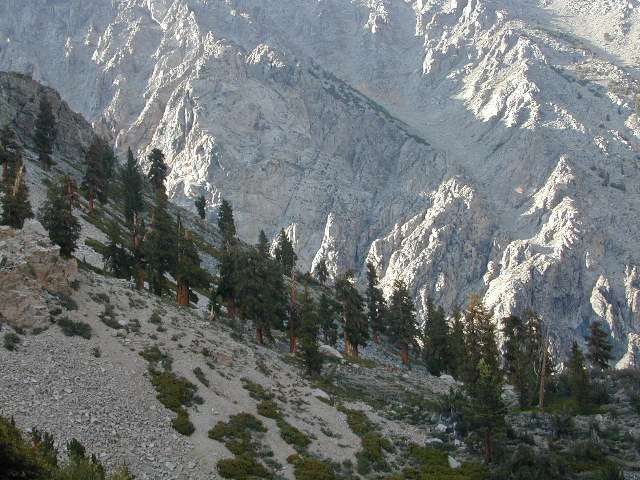
The Palisades Trail Map covers the Big Creek area of the Eastern Sierra on the boundary between Kings Canyon National Park and Inyo National Forest. Map includes the Palisades and Norman Clyde Glaciers, Bishop and Mather Pass, and the Big Pine Lakes.

  • Big Pine Lakes
  • Mount Sill
  • Mount Jepson
  • Mount Winchell
  • North Palisade
  • Norman Clyde Glacier
  • Mid Palisade Glacier
  • Thunderbolt Peak

avenza mapsdownload digital version of this map –
The Palisades Map

Palisades Trail Map

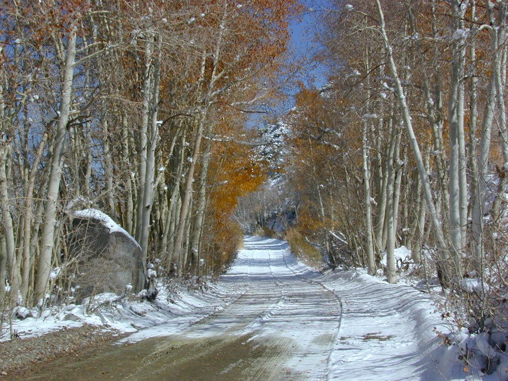
Autumn Colors meet SNOW in early October

nearby towns:
Big Pine, CA
Bishop, CA

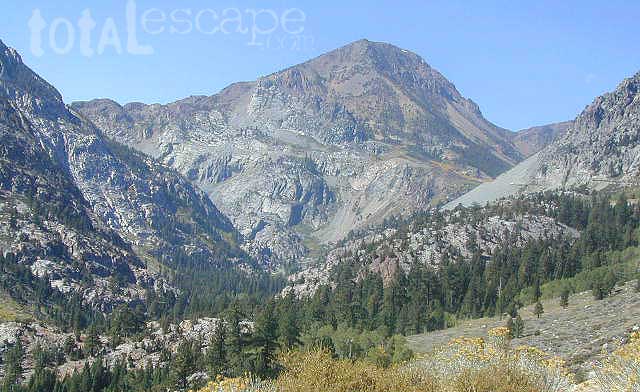
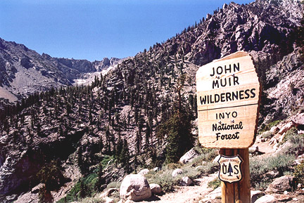
The Palisade Glacier is a glacier located on the northeast side of the Palisades within the John Muir Wilderness. The glacier descends from the flanks of four mountain peaks over 14,000′ in elevation of which North Palisade 14,242′ is third highest peak in the Sierra Nevada Range.

The cirque containing the Palisade Glacier has a history of thousands of years of glaciation. The modern glacier attained its last maximum extent during the Little Ice Age, between 250 and 170 years ago – a period also known as the Matthes glaciation in the Sierra Nevada.

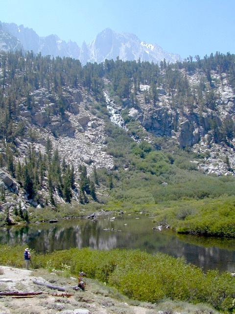
The glacier is under a mile long and half mile wide. It is located between 13,400 and 12,000; elevation and moves at a rate of 20 feet per year, although it is also retreating. Palisade Glacier is one of the few glaciers in California that terminates in a proglacial lake dammed by its former moraine and the lake is turquoise colored from the glacial powder suspended in the water. The Big Pine Lakes below the glacier are also the same color.

see also –

Inyo National Forest Map
Inyo Forest Topo Atlas
Bishop Pass Map
Mount Whiney Maps