Recreation Ads

Get Listed & Linked on California’s Total Escape

Recreation Listings for California


This advertising choice is for recreation businesses only; live link placed within Total Escape.com > RECREATION

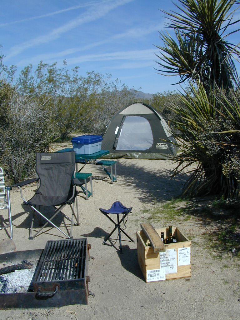
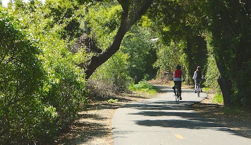
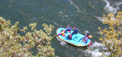
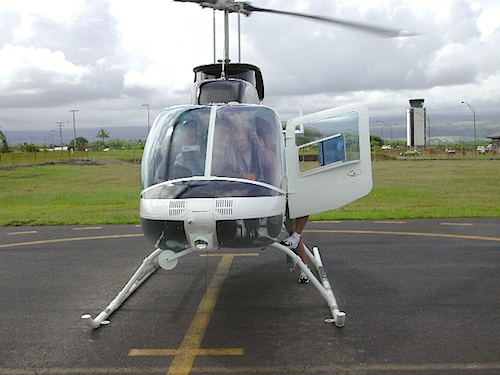
Businesses include: kayak rental shops, horseback riding, mountain outfitters, limousines, wineries, bike rentals, marinas or cruises, RV campgrounds, hot air balloons, rock climbing guides, fly fishing professionals, snow ski resorts, 4×4 tours, scuba dive shops, motorcycle rentals, sightseeing bus charters, firewood dealers and so on. If you do not see a similar type of company listed on our vast web site, then find out first if a link is possible.

Recreation Listings for California

The image for ad can be a logo or a photo. JPG 200×200. Make your business listing really stand out with the best deal on the web. Listing your business with us will only help your web traffic and overall exposure with our ancient web site (online since 1996).

ANNUAL LISTING:
Best deal in California – Ads for Dirt Cheap!

Recreation Listings for California

Get more exposure directed to your website with a link from Total Escape. Online over 2 decades, we do have the traffic to drive you wild.

We get a million ‘page views’ per month and that number doubles in the summertime. Outdoorsy travelers find what they need on our California site. About 22% of our traffic is return visitors.

Advertise your travel industry related business with Total Escape. This is for an annual listing & link for a business website, local to California.

California Text Ads

California Classified Ads, local 2 U

Text Only Ads for California

Text ads for everyone! Super budget minded for Main Street, Small Town, California. Text only advertising,: 4 liner text ads, located on the TOWNS pages. totalescape.com/destin/abclist

Advertise almost anything in your local town: retail shops, art galleries, restaurants, coffee shops, guide services, local theater, concerts, real estate, rentals, outdoor gear shop, running clubs, 4×4 group, etc. Purchase is for a minimum 3 month run @ $5 month (pre-paid $15).


Text Ads for Towns $5


See text ad sample on LEBEC, CA

Text Only Ads for California
Get listed locally on any town page for only 5 dollars. This text-only ad appears on the town destination page, underneath the local links section. Text ad run is for 3 months and must be renewed manually.

Event Listing

Get your California Event listed on Total Escape

Event Listings in California


Event Listing $15


Event Listings in California

street fair, ren faire, festival weekend, river fest, camping festival, outdoor concert, chamber of commerce, events, fest, celebration, holiday, farmers market, activity, local, community, crafts, artists, crafters, local artisans, street painting, street art chalk drawing, fresh produce, fundraiser, church events, advertising, California, locals, small town, promo, promotion, ads, advertise, budget

Event Listings in California

Joshua Tree Maps

Joshua Tree National Park Map

Joshua Tree Maps
Both Tom Harrison and NatGeo make awesome recreation maps of this popular SoCal desert. Numerous campgrounds, hiking trails, dirt roads, historic mines, and plenty rock climbing spots. In 1934, Joshua Tree was designated as a National Monument and then later became a National Park in 1994. The local Palm Springs Desert BLM office has paper maps that cover the desert canyon areas near Interstate 10.

JT Maps

Joshua Tree Recreation Map
by Tom Harrison

Joshua Tree National Park Map, Climbing Joshua Tree Camping Backpacking Maps, Areas include: Black Rock Canyon, Hidden Valley, Barker Dam, Keys View, Lost Horse Valley, Lost Horse Mine, Ryan Mountain, Cholla Cactus Garden, Cottonwood Spring, Lost Palms Oasis, Geology Tour Road, Cap Rock, Jumbo Rocks, Wonderland of Rocks, Arch Rock. High Desert Yucca Valley; Durable, waterproof plastic map; Folded. Map Scale: 125K; ISBN# 9781877689536

digital mapsget a digital version of this map
Joshua Tree Park Map by Tom Harrison

Joshua Tree Maps

Quiet Camps in the Desert

Joshua Tree National Park Map #226
by National Geographic

Trails Illustrated Map from National Geographic. Joshua Tree National Park Map #226. Joshua Tree Park Map, Camping & Hiking Map. Very detailed & colorful. Waterproof Plastic Map; Tear Resistant. GPS data. Scale 1:80,000 Contour Interval = 100 feet. ISBN# 9781566953009

digital mapsget a digital version of this map
NatGeo Map 226 – Joshua Tree National Park

Joshua Tree Maps

online maps

digital maps for download

Joshua Tree Maps

Joshua Tree Maps

Joshua Tree Maps can get you beyond the crowds, to the outlying places that few know about. Summers can be hot here in the High Desert at 4000′ elevation, but not as hot as the Palm Springs / Coachella Valley below.

Winters can be chilly and windy, especially with any storm front moving through SoCal. Snow is possible at this elevation. Low temps overnight can drop into the teens during certain times of year – so make sure to bring a zero degree sleeping bag and good thermal undies.

Spring (wildflowers) and autumn are ideal times to visit JTNP.

Joshua Tree Maps

Camping Joshua Tree National Park Desert