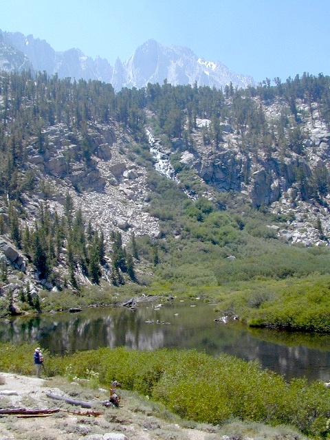
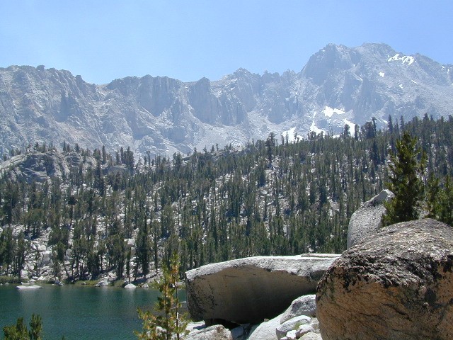
Kearsarge Pass to Rae Lakes Loop
High Sierra, Eastern Sierra
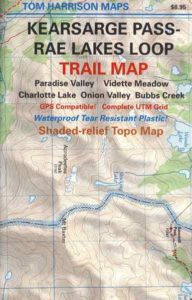
Kearsarge Pass Map
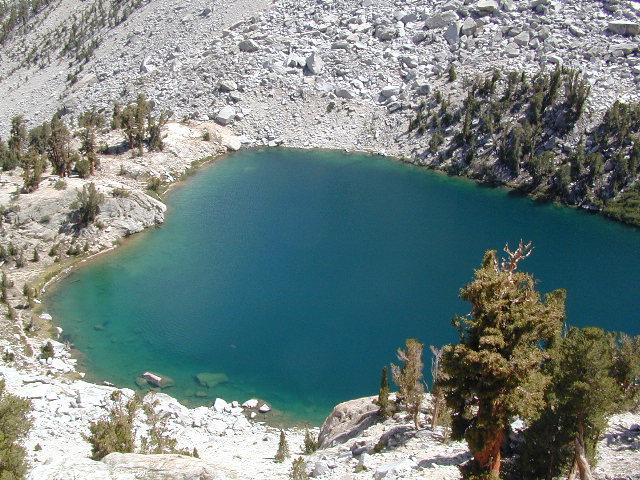
Rae Lakes Loop Hike

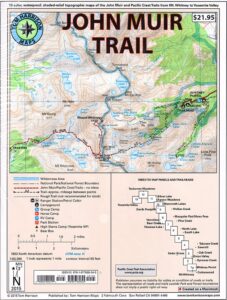
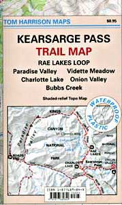
Tom Harrison Maps
Kearsarge Pass Trail Map, Rae Lakes Loop, Onion Valley Hikes, Hiking John Muir Backpacking Maps Rae Lakes Loop. Onion Valley Campground; Eastern Sierra Trails, Kings Canyon High Country; Eastern Sierra, High Sierra Maps; Areas include: Rae Lakes Loop, Paradise Valley, Vidette Meadow, Charlotte Lake, Onion Valley, Bubbs Creek.
Durable, waterproof plastic map; Folded. Map Scale: 42K; ISBN# 9781877689840
![]() download digital version of this map –
download digital version of this map –
Kearsarge Pass Map

 Onion Valley Campground NFS
@ 9200′ elevation
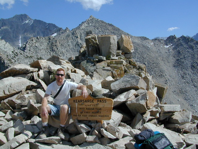
Kearsarge Pass @ 11,835′ elevation
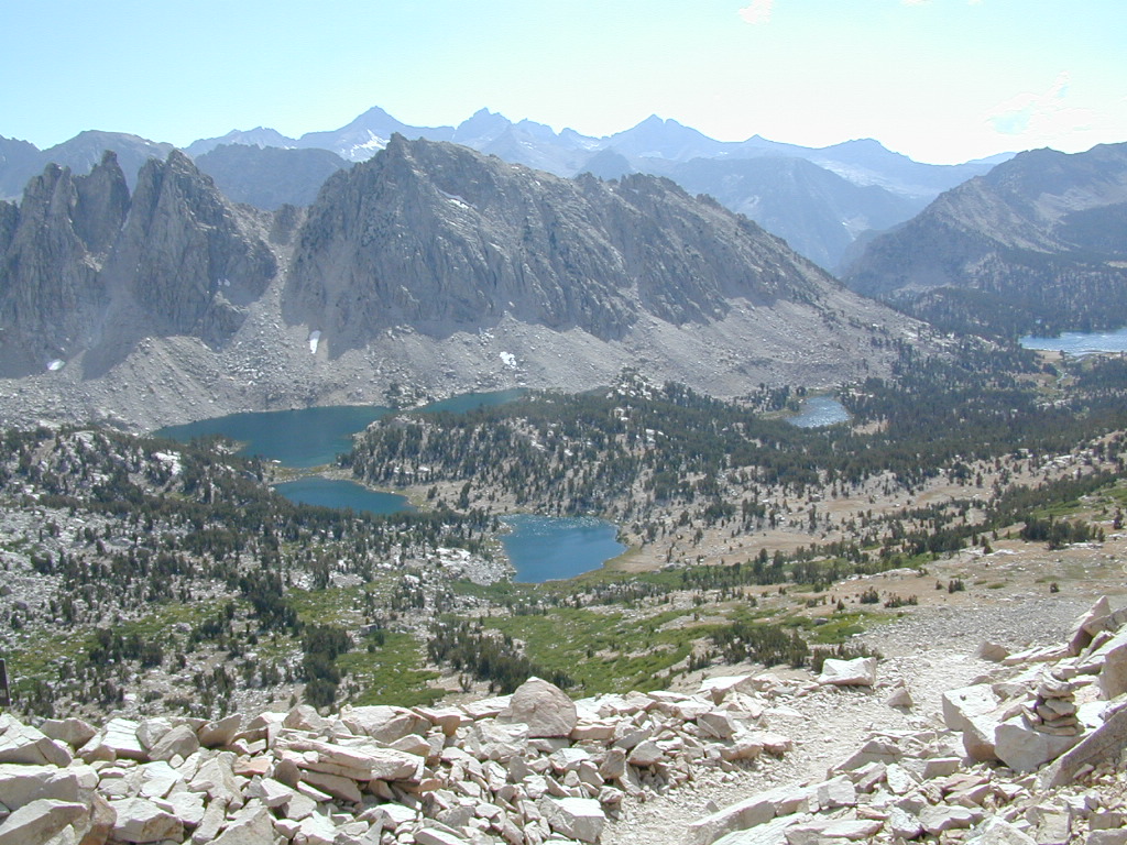
- alpine lakes
- backpacking
- camping
- climbing
- fishing lakes
- hiking
- horse packing
- granite peaks & pinnacles
- waterfalls
- wilderness
- wildflowers

see also –
Kings Canyon Highcountry Map
Sequoia Kings NP Map by NatGeo
Sequoia Kings NP Map by Tom Harrison
Inyo National Forest Map
Inyo Topo Atlas
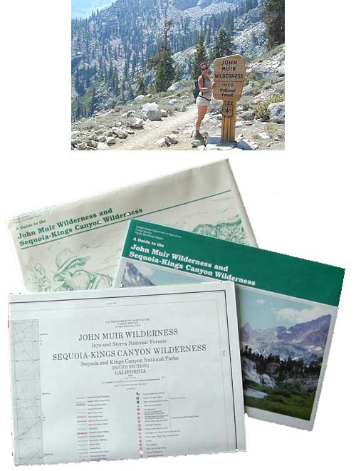
John Muir Wilderness Maps
High Sierra Lakes Loop Hikes
nearby towns:
Big Pine, CA
Independence, CA
Lone Pine, CA
OLD EDITION
Hike Kearsarge Pass
RAE LAKES LOOP – OLD MAP
Kings Canyon High Country