Maps of Lake Tahoe California

Lake Tahoe Maps come in all shapes and sizes. For example, National Geographic makes a large Wall Map for display, listed at the bottom of this page. Furthermore, many recreation maps covering a wide range of activities, are also found for the Tahoe region.
Listed are topographic maps for fishing, day hiking, mountain biking, peak climbing, backpacking, camping, off-roading, cross country skiing, as well as back country snow skiing.
Backcountry Ski Maps for Tahoe
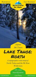
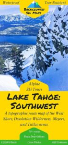
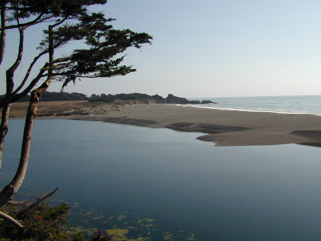
Lake Tahoe is one of the most popular destinations in all the Sierra Nevada mountains. Its proximity to Interstate 80 (Donner Pass), in addition to large cities such as – Reno, Nevada and Sacramento, California – make it an easy to reach location that is focused on outdoor recreation vacations. Snow is usually present more than half the year, and winter blizzards can blow hard in these higher elevations. Be prepared drive with chains and enjoy being snowed-in, when the real dumping starts. Consequently, be ready to escape to the indoors, with the casinos of South Lake Tahoe.
Largest freshwater, alpine lake in North America.
Second deepest lake in the U.S.
Second highest lake in the U.S.
LAKE TAHOE – 6625′ elevation above sea level
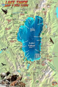
Franko Maps
Lake Tahoe Map & Fish Guide
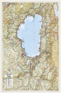
Tahoe Wall Map in Tube


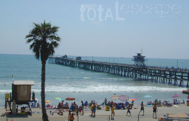
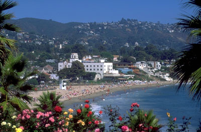
 Home to Disneyland, the O.C. was the orange growing region of Southern California – until the developers took over, turning it into shopping, freeways and large residential neighborhoods we know today. The Orange County beaches are by far the hot spots, with places like San Juan Cap, Dana Point & Laguna Beach. Lots of surf memorabilia & surf culture.