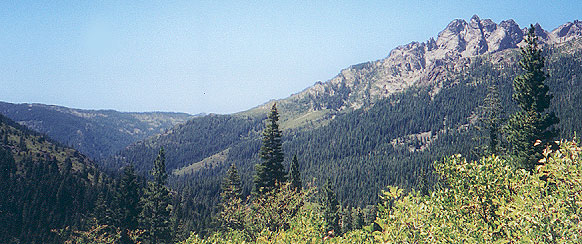
Sierra Buttes, Yuba River Headwaters
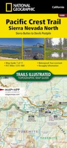
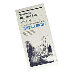
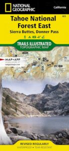
Sierra Buttes Map # 805 NatGeo
Tahoe National Forest
Trails Illustrated Map from National Geographic. Sierra Buttes, Donner Pass in Tahoe National Forest map #805. Lakes Basin Map, Mount Rose Wilderness, Pacific Crest Trail (PCT), Jackson Meadows, Stampede Reservoir, Truckee Backcountry Mountains, Hiking Trails, Trail Mileage. Interstate 80 California. High country map. Many roads and trails to explore. 2-sided map. Very detailed & colorful. Waterproof Plastic Map; Tear Resistant. GPS data. Scale = 1:63,360 ISBN#9781566953818


OLDER VERSION
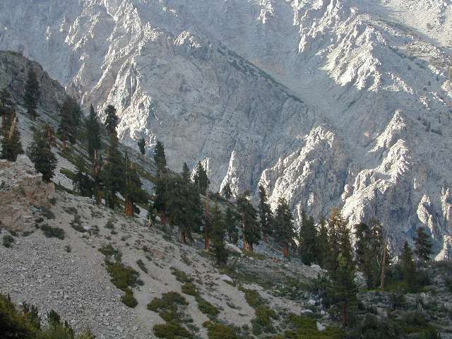
Lakes Basin Recreation Area
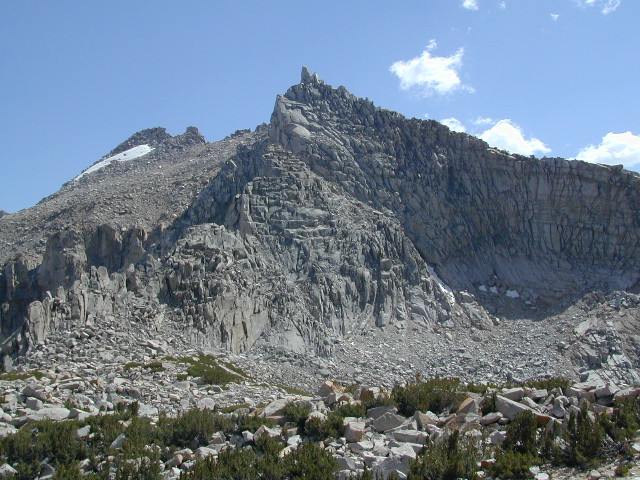
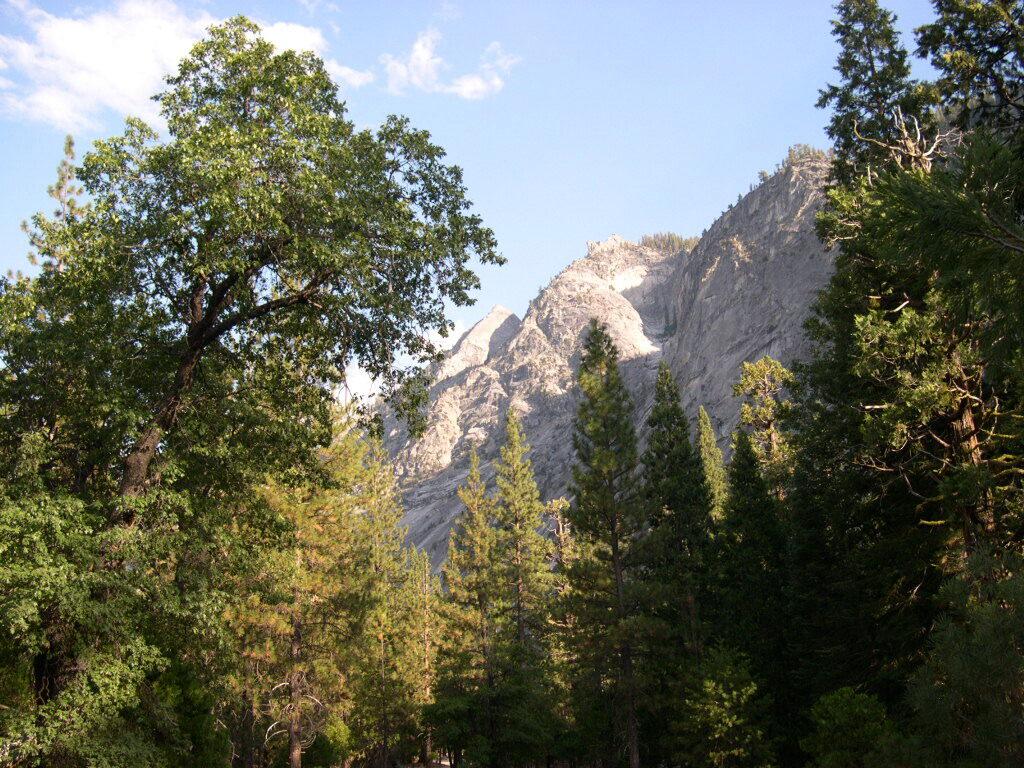
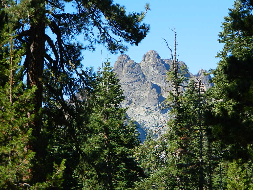
Sierra Buttes California
Forest Road #54 is FREE forest camping with Buttes view.

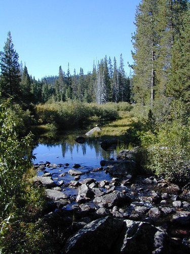
Lakes Basin Recreation Area

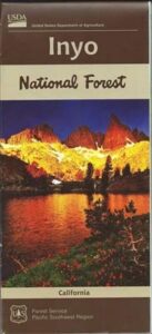
Lakes Basin Recreation Area Map USDA
Plumas Eureka State Park
The NFS Map & Recreation Guide covers the Sierra Buttes as well.
North of Gold Country, the granite spires tower above the North Yuba River. Sierraville, Sierra City and Downieville, the mountain bike mecca of the Northern Sierra Nevada. Plumas-Eureka State Park is also featured on this particular map. This region is big river and alpine lakes, stunning, beautiful high country up here, with the Lakes Basin Recreation Area (only accessible for half the year, due to snow pack).

see also –
- Tahoe National Forest Map
- Tahoe 4×4 Trails
- Plumas National Forest Map
- Gold Country Maps
- Yuba River Map by NatGeo
- South Yuba River Map
 nearby towns: