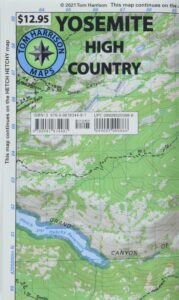
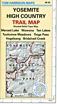
Find Ansel Adams Wilderness Maps
Ansel Adams Wilderness Books

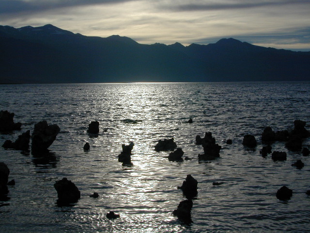
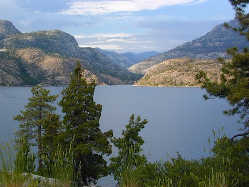
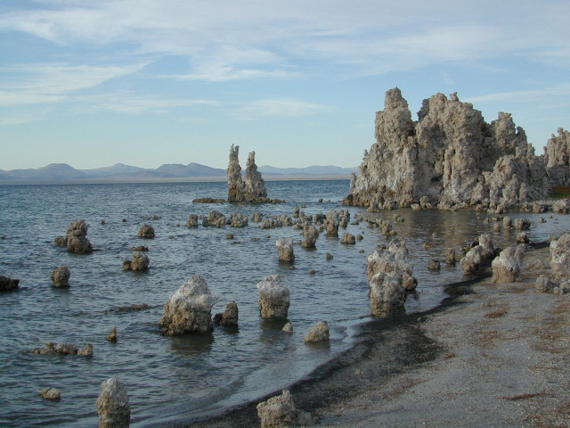
Mono Lake at Sunset
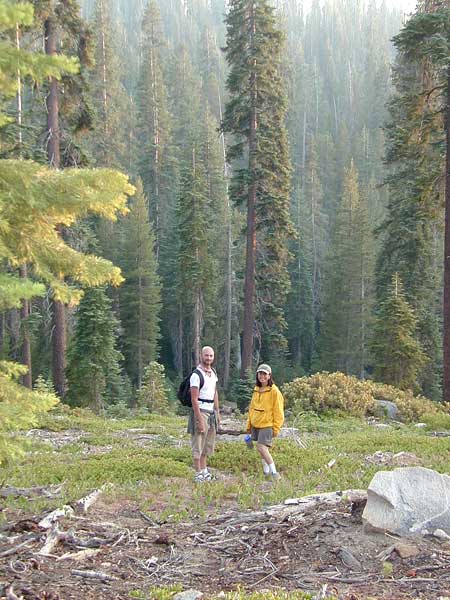
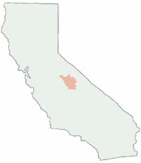
The Ansel Adams Wilderness is a wilderness area in the Sierra Nevada of California, United States. The wilderness spans 231,533 acres – much of which is located inside the Inyo and Sierra National Forests, and the remaining acres covers nearly all of Devils Postpile National Monument. Yosemite National Park lies to the north and northwest, while the John Muir Wilderness lies to the south.
The wilderness was established as part of the original Wilderness Act in 1964 as the Minarets Wilderness. The 109,500-acre Minarets Wilderness was created by enlarging and renaming the Mount Dana-Minarets Primitive Area. In 1984, after his death, the area was expanded and renamed in memory of Ansel Adams, well-known environmentalist and nature photographer who is famous for his black-and-white landscape photographs of the Sierra Nevada.
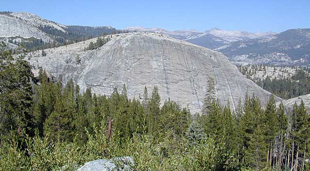
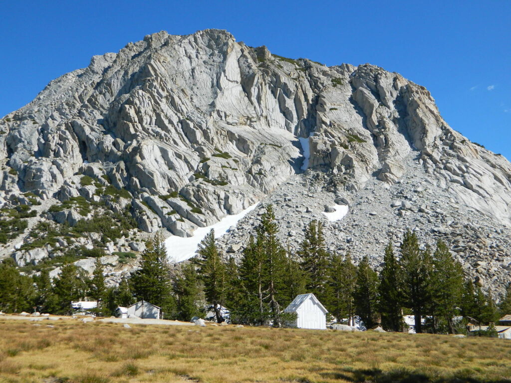
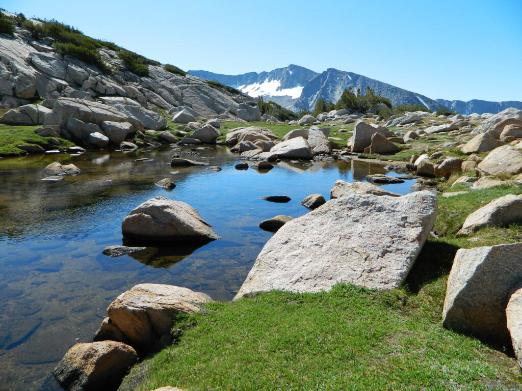
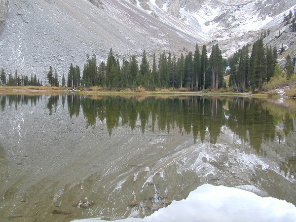
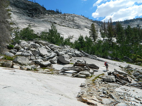
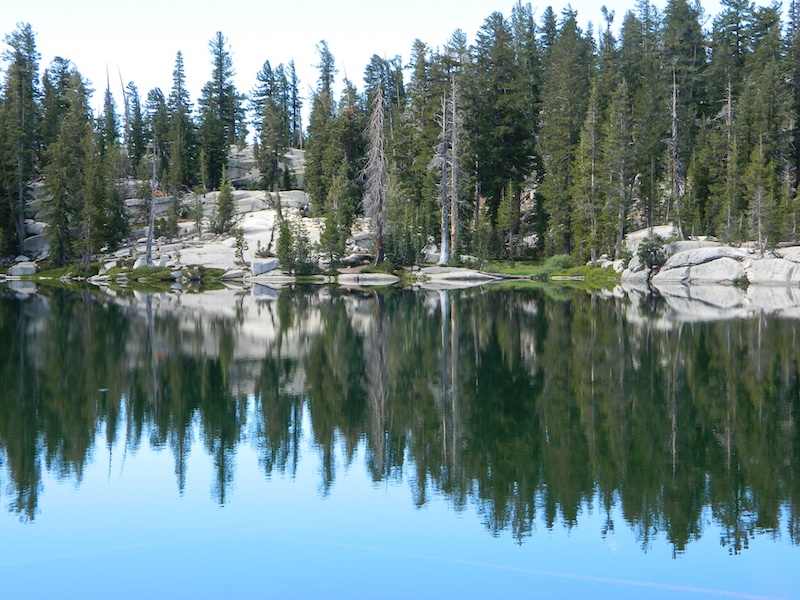
The Ansel Adams wilderness spans in elevation from 3,500 to 13,157 feet, forming the northern end of the High Sierra. The centerpiece of the Ansel Adams wilderness is the Ritter Range, which includes dark meta-volcanic glaciated mountains such as Mount Ritter, Banner Peak, and The Minarets.
Immediately to the east of the Ritter Range is the Middle Fork of the San Joaquin River, which contains Devils Postpile, a series of basaltic columns that were revealed and smoothed by glacier action. The Middle Fork originates from Thousand Island Lake, at the foot of Banner Peak, one of the largest backcountry lakes in the Sierra.
To the east of the Middle Fork canyon is the true Sierra Crest, which, at roughly 10,000 feet of elevation is lower than the Ritter Range. This relatively low region of the Crest allows winter storms through and cause large amounts of snowfall on Mammoth Mountain, which sits in the gap. The gap also allows migration of plants and animals across the Sierra Crest.
To the west of the Ritter Range lies the canyon of the North Fork of the San Joaquin, a relatively remote and less visited high-country area. The southern part of the wilderness contains the 3,000 feet deep canyon of the main San Joaquin River, which flows out of the Sierra Nevada to California’s Central Valley.


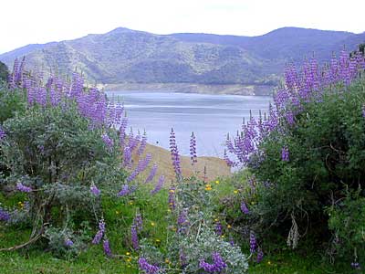
 Lupine @ Pine Flat Reservoir, Lower Kings River