Snow Mountain Wilderness Map

Snow Trails Northern Cal

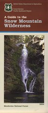
Snow Mountain Wilderness Map USDA

California Snow Mountainhikers map


Snow Mountain Wilderness, Mendo

Wildfire recently burnt 100% of the land on Snow Mountain
Mendo Complex / Ranch Fire 2018

Wildflowers should be very decent in the aftermath of the fire. Snow Mountain of Mendocino National Forest, the east side. Perfect for a day hike reference or extended backpacking adventures. Meadows are called GLADES, in the Mendocino Forest region. OHV trails surround the lower elevation, eastern part of this mountain. Big thunderstorms are possible in summer! Waterproof plastic map, tear resistant, printed in 2004. Map Scale = 1:126,720. ISBN# 9781593514259

youtube200

Snow Splitboarding Videos
by Dustin Boone

nearby towns:

see also –
Mendocino National Forest Map USDA
Yolla Bolly Wilderness Map

Snow Mountain Wilderness

Emigrant Wilderness Map

Emigrant Trail Maps

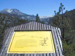
emigrantsign

Emigrant Wilderness Area
part of Stanislaus National Forest

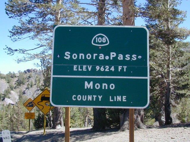
Highway 108 – Sonora Pass
Sierra Nevada Gold Country
North of Yosemite National Park

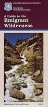
Emigrant Wilderness Map USDA

OLD VERSION

High Sierra with deep snow closes this region annually. This is usually the last Sierra Hwy Pass to OPEN for through-traffic in summer. It gets more snow than Yosemite. Check local rangers for all road conditions, fire info, trail access points before departing on a backcountry trip. Wilderness permits and campfire permits are always required!

Waterproof Plastic Paper. 1″ to mile; Usually only found at Ranger Stations – Hard to find maps. Perfect for a day hike reference or extended backpacking adventures. Printed on plastic in 2016. ISBN# 9781628114133


Emigrant Wilderness Trail Map

Topo Maps by Tom Harrison

Emigrant Wilderness Map

OLD VERSION

Tom Harrison Trail Map: Emigrant Wilderness Map Trail Map, Sonora Pass Map, Sierra Nevada; Kennedy Meadows, CA. Pinecrest Lake, Dodge Ridge, Relief Reservoir, Leavitt Lake, Leavitt Meadows, The Dardanelles, Eagle Meadows; Sonora River fishing, Dardanelle CA. Durable, waterproof plastic map; Folded. Map Scale: 63.4K; ISBN# 9780989457910

Wilderness Press Topographic Map


Emigrant Wilderness Map

see also –

Stanislaus National Forest Map
Stanislaus Forest Atlas
Yosemite High Country Map

Mono Lake Map

Mono Lake Map

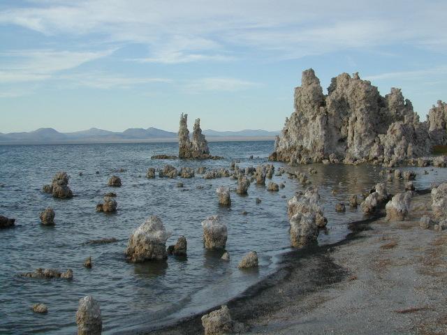
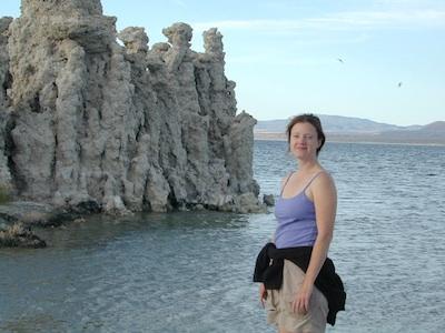
Tufa Towers at Navy Beach, Mono Lake


Mono Lake Topo Map
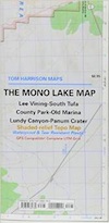
Mono Lake Topo Map

Mono Lake, Lee Vining & Lundy Canyon

Mono Lake is one of the most popular destinations in the Eastern Sierra region. Tom Harrison is the only topographic map that has all of Mono Lake on one sheet.

Eastern Sierra Lee Vining Trail Map, Lee Vining Canyon South; Areas covered: Lee Vining Hiking, South Tufa Mono Lake, County Park Old Marina, Lundy Canyon, Lundy Topo, Panum Crater.

Durable, waterproof plastic map; Folded. Map Scale: 63K; ISBN# 9781877689789

Mono Lake California 

avenza mapsdownload digital version of this map –
Mono Lake Topo Map
Mono Lake Map

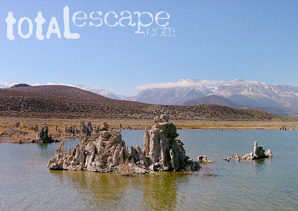
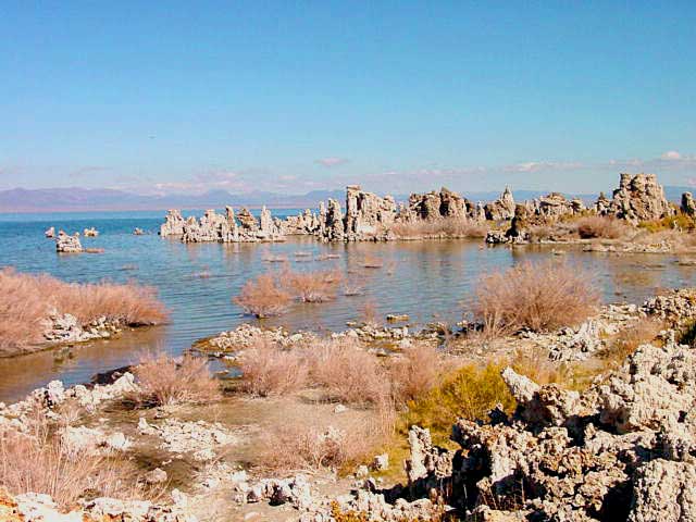
Mono Lake is a saline soda lake in Mono County, California, formed at least 760,000 years ago as a terminal lake in an endorheic basin. The lack of an outlet causes high levels of salts to accumulate in the lake and make its water alkaline.

The high desert lake has an unusually productive ecosystem based on brine shrimp, which thrive in its waters, and provides critical habitat for two million annual migratory birds that feed on the shrimp and alkali flies.

When the city of Los Angeles diverted water from the freshwater streams flowing into the lake, it lowered the lake level, which imperiled the migratory birds. The Mono Lake Committee formed in response and won a legal battle that forced Los Angeles to partially replenish the lake level.

Dissolved salts in the runoff thus remain in the lake and raise the water’s pH levels and salt concentration. The tributaries of Mono Lake include Lee Vining Creek, Rush Creek and Mill Creek which flows through Lundy Canyon.

The basin was formed by geological forces over the last five million years: basin and range crustal stretching and associated volcanism and faulting at the base of the Sierra Nevada.

nearby destinations:
Mono Lake Map

see also –
Ansel Adams Wilderness Map
Bodie Hills Map
Mammoth Lakes Map NatGeo
Toiyabe National Forest Map USDA
Yosemite Highcountry Map
Mono Lake Map


Lundy Canyon
Lundy Lake California

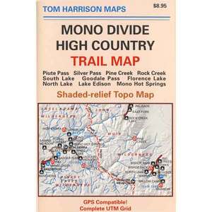
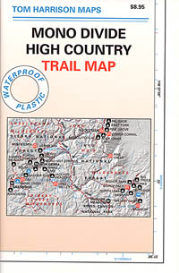
Mono Divide High Country Map

Mono Divide Trail Map

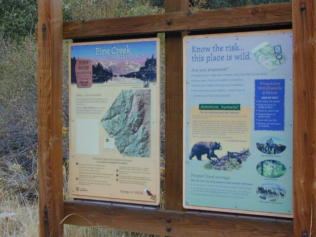
Pine Creek Canyon, N of Bishop, CA


Mono Divide Map
Tom Harrison Trail Maps

Mono Divide High Country, June Lake

Mono Divide High Country, Mono Backpacking Map, High Sierra, Alpine & Eastern Sierra Camping Maps; NOTE: this area is NOT @ Mono Lake

This regional map of the high country Sierra Nevada includes E of Fresno (Hwy 168) Mono Hot Springs, San Joaquin River headwaters, Edison Lake, Florence Lake, parts of Kaiser Pass, Bishop Pass areas of Sabrina Lake, South Lake, & even Rock Creek Camping. High Sierra Trails by Tom Harrison, Mono Divide High Country, Sierra High Country Hikes, Backpacking Sierra Nevada, Mammoth Hiking Trails, Sierra Nevada Topo, Waterproof, Topographic Maps California.
Durable, waterproof plastic map; Folded. Map Scale: 63K; ISBN# 9781877689468

avenza mapsdownload digital version of this map –
Mono Divide High Country Map

Mono Divide Trail Map

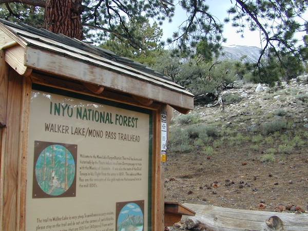
Mono Pass Trailhead @ Walker Lake

Mono Divide Trail Map

Mono Divide Trail Map

OLD VERSION

Mono Divide Trail Map

REAL OLD ONE

see also –
Mammoth Highcountry Map by Tom Harrison
Mammoth Lakes Mono Divide Map NatGeo
Mono Lake Map

John Muir Trail Maps

Mono Divide Trail Map

Pine Creek Trailhead