Yosemite Park Maps
Hiking Map Yosemite
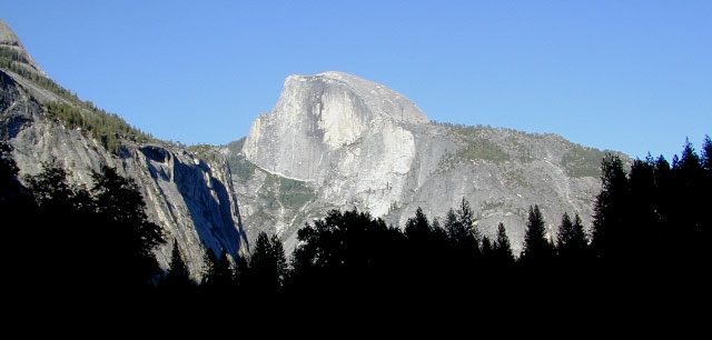
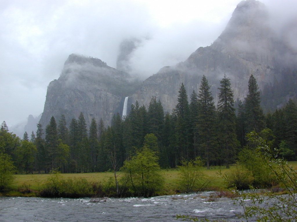
Since Yosemite National Park is one of the most popular destinations inside California, several cartographers make overview maps and hiking maps for this busy park. Much of the area is covered in snow half the year and roads are closed annually. So know before you go and call the rangers. Double check campgrounds, trails, road conditions and weather, all prior to trip departure.

Tom Harrison is has an extensive list of trail maps which include the low elevations of Yosemite Valley, as well as the higher elevation backcountry. Waterproof trail maps, topographic w/ camps, canyons, climbs, creeks, lakes, peaks, all terrain.
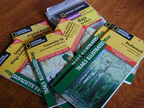
National Geographic also makes a series of colorful Yosemite maps, which span the whole park from west to east. Waterproof, tear-resistant, folded, two-sided maps. Wilderness Press makes a couple too!

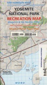
Yosemite National Park Map
by Tom Harrison Maps

Tom Harrison Recreation Map
Yosemite National Park Map, Topo Map Yosemite Parks Trails, Hiking Trails Yosemite overview Map; GPS compatible, UTM grid; Shaded relief topo map. Durable, waterproof plastic map; Compact and folded. Map Scale: 125K; ISBN# 9781877689505
![]() download digital version of this map –
download digital version of this map –
Yosemite National Park Map
![]()
OLDER MAP
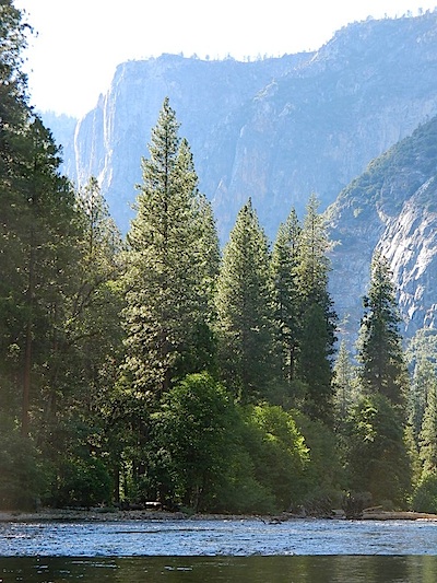
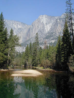
Merced River, Yosemite Valley, CA
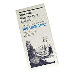
SUPER OLD Trails Illustrated MAP
see also –
All NatGeo Yosemite Maps
All Tom Harrison Yosemite Maps
Inyo National Forest USDA
Sierra National Forest USDA
Stanislaus National Forest USDA
Ansel Adams Trail Map
Half Dome Hiking Map
John Muir Wilderness Maps
Tuolumne Meadows
Yosemite High Country Map
Hetch Hetchy Map
Hoover Wilderness Trail Map

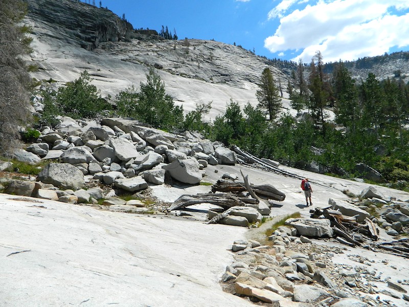
Yosemite Granite Slabs – High Sierra Camp (HSC) hiking Vogelsang to Lake Merced