Sierra Buttes Map

Sierra Buttes Map

Sierra Buttes, Yuba River Headwaters

Sierra Buttes Map # 805 NatGeo
Tahoe National Forest

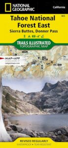
Trails Illustrated Map from National Geographic. Sierra Buttes, Donner Pass in Tahoe National Forest map #805. Lakes Basin Map, Mount Rose Wilderness, Pacific Crest Trail (PCT), Jackson Meadows, Stampede Reservoir, Truckee Backcountry Mountains, Hiking Trails, Trail Mileage. Interstate 80 California. High country map. Many roads and trails to explore. 2-sided map. Very detailed & colorful. Waterproof Plastic Map; Tear Resistant. GPS data. Scale = 1:63,360 ISBN#9781566953818

Sierra Buttes Map

Tahoe East Map

Sierra Buttes Map

OLDER VERSION

Lakes Basin Recreation Area

Sierra Buttes California 
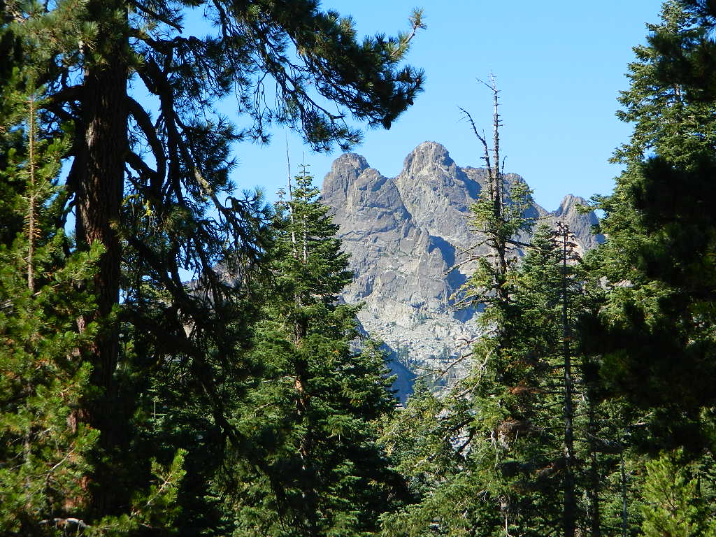
Sierra Buttes Map

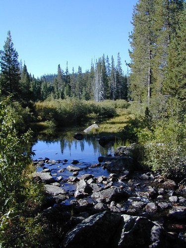
Forest Road #54 is FREE forest camping with Buttes view.

Sierra map

Sierra Buttes Map

Lakes Basin Recreation Area

Sierra Buttes Map

Lakes Basin Recreation Area Map USDA
Plumas Eureka State Park

The NFS Map & Recreation Guide covers the Sierra Buttes as well.Sierra Buttes Map
North of Gold Country, the granite spires tower above the North Yuba River. Sierraville, Sierra City and Downieville, the mountain bike mecca of the Northern Sierra Nevada. Plumas-Eureka State Park is also featured on this particular map. This region is big river and alpine lakes, stunning, beautiful high country up here, with the Lakes Basin Recreation Area (only accessible for half the year, due to snow pack).

Lakes Basin Recreation Area

Tahoe National Forest 

Sierra Buttes Map

see also –

camp mapsnearby towns:

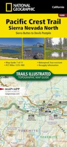
PCT map Sierra North

Lakes Basin Recreation Area Map

Lakes Basin California

Gold Lake California


Lakes Basin Map
Lakes Basin Map

Sierra City, Sierra Buttes, Lakes Basin Recreation Area, North Yuba River, Salmon Lake, Packer Lakes, Sardine Lake, Snag Lake, Gold Lake, Goose Lake, Haven Lake, Long Lake, Mud Lake, Smith Lake, Bear Lakes, Round Lake, Jamison Lake, Wades Lake, Rock Lake, Grass Lake, Grassy Lake, Squaw Lake, Cub Lake and the PCT

2022 currently unavailable on Amazon; might still be found at local ranger stations

Lakes Basin Recreation Area

Lakes Basin Loop / Gold Lake / Sierra Buttes / Plumas Eureka SP

Lakes Basin-Sierra Buttes & Plumas Eureka State Park Map (Part of Tahoe NF & Plumas NF ) Usually only found at Ranger Stations – Hard to find maps. Printed on paper in 2013. ISBN# 9781628114003

Lakes Basin Map

Sardine Lake, California

hikers map

Lakes Basin Map

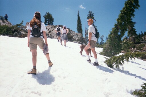
Hiking in Snow, in early Summer

see also –snow

Sierra Buttes Map by NatGeo

snowmoGold Lake Highway closes annually for winter, due to deep snow. Winter recreation include cross country skiing, snowmobiling and snow shoeing. Campgrounds are only open a few months during the summer.
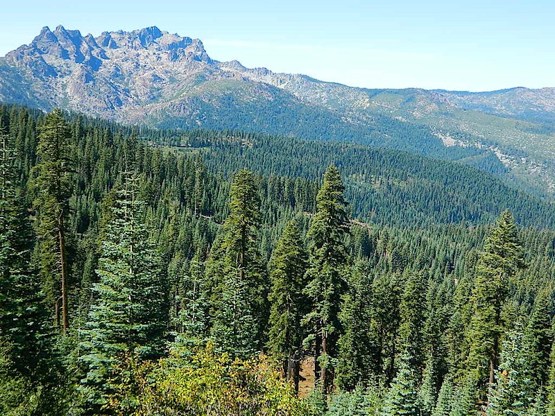
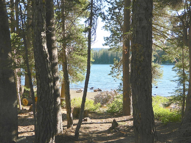
Lakes Basin and Gold Lake is located in Northern Gold Rush Country on the border of Plumas National Forest and Tahoe National Forest

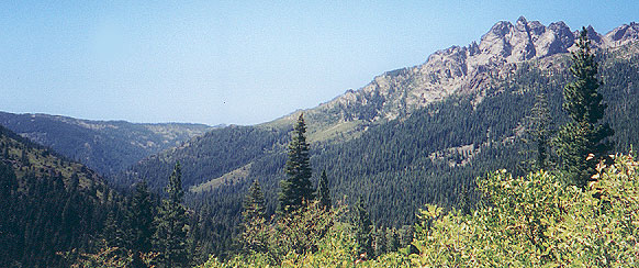
Sierra Buttes, as seen from Forest Road #37

Sierra Buttes, as seen from Forest Road #37

 camp map

Lakes Basin Map

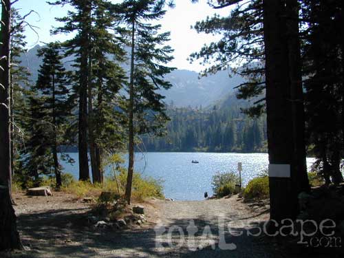
Snag Lake, on Gold Lake Highway

nearby towns:

Gold Country Maps

Maps for the California Gold Country

california indpendentGold Country Maps for the Western Sierra foothills, parks, forests, river canyons, fishing, camping, hiking, from Yosemite to the Sierra Buttes. The famous Gold Rush Country in California has historic buildings, mines, roads, and dams. The foothills region is home to numerous big river canyons, which is also the central focus of the historic mining activity.
California Mining Rivers:
Feather River
Yuba River
American River
Cosumnes River
Mokelumne River
Stanislaus River
Tuolumne River
Merced River

Gold Country Maps

Gold Country Maps


Gold Country Maps

Of the approximate 300,000 people who came to California during the Gold Rush, about half arrived by sea and half came overland. While most of the newly arrived were Americans, the gold rush attracted thousands from Latin America, Europe, Australia, and China.

Agriculture and ranching expanded throughout the state to meet the needs of the settlers. San Francisco grew from a small settlement of about 200 residents in 1846 to a boomtown of about 36,000 by 1852. In 1849 a state constitution was written. In September 1850, California became a state.

At the beginning of the Gold Rush, there was no law regarding property rights in the goldfields and a system of “staking claims” was developed. Prospectors retrieved the gold from streams and riverbeds using simple techniques, such as panning.

mining mapsHydraulic mining, a system where miners literally blast the hills and the forested slopes with giant water canons, was so damaging that the first environmental laws in California were passed to prevent it.


More Gold Country Area Maps –

Stanislaus National Forest Map

Eldorado National Forest Map

Tahoe National Forest Map

Plumas National Forest Map

Carson Iceberg Wilderness Map

Crystal Basin & Silver Fork

Feather River Topo Map

Lakes Basin Recreation Map

Merced River & Tuolumne River Map

Rock Creek OHV Trail Map

Sierra Buttes Map NatGeo

South Yuba River Map

Yosemite Maps by Tom Harrison

Yuba River & American River Map

Gold Country Maps