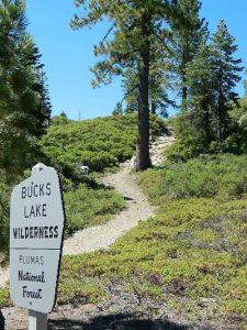
Bucks Lake Wilderness Map

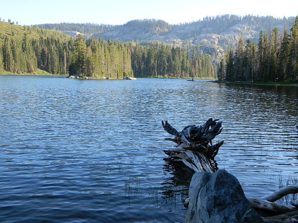
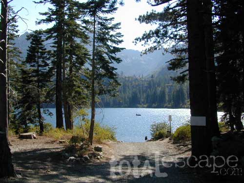
Gold Lake @ Bucks

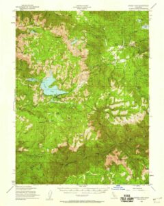
Bucks Lake Topo Map

Topo Map

Bucks Lake Wilderness Map

Bucks Lake Map
Bucks Lake Wilderness Map USDA
Map Scale = 2″ to 1 mile; Printed on paper in 1990.
Available @ USGS.gov
and at Plumas Ranger Station, Quincy, CA

Bucks Lake Wilderness @ Bucks Lake
Northern Sierra Nevada mountains

NFS

TrailheadsEast of Oroville, CA
West of Quincy, CA

Plumas National Forest

Bucks Lake Wilderness Map

South of Mount Lassen, deep in the forests west of Quincy & Meadow Valley, lies a few small alpine lakes in and around the bigger Bucks Lake, a resort cabin community with dining, overnight lodging, cabin rentals, RV and tent campgrounds. Indian Rock is a popular DAY USE beach along the west shoreline.

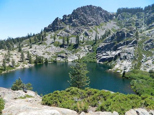
Wilderness hiking trails climb to peaks and lakes at higher elevations.

Topo maps are perfect for a day hike reference or extended backpacking adventures. Pacific Crest Trail access. Bucks Lake has numerous developed campgrounds, smaller lakes and many miles of trails to explore.
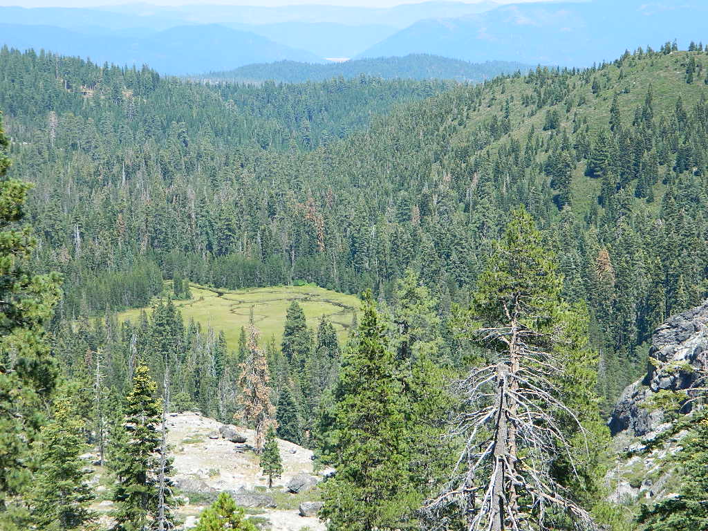


Jacks Meadow
Jacks Meadow

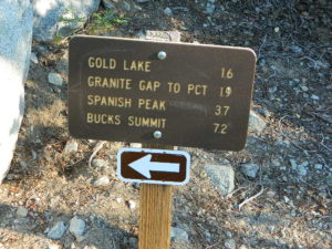
gold lake sign

silver lake bucks lake

Silver Lake has a small campground accessed via dirt road.

Sierra Buttes Map

Sierra Buttes Map

Sierra Buttes, Yuba River Headwaters

Sierra Buttes Map # 805 NatGeo
Tahoe National Forest

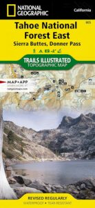
Trails Illustrated Map from National Geographic. Sierra Buttes, Donner Pass in Tahoe National Forest map #805. Lakes Basin Map, Mount Rose Wilderness, Pacific Crest Trail (PCT), Jackson Meadows, Stampede Reservoir, Truckee Backcountry Mountains, Hiking Trails, Trail Mileage. Interstate 80 California. High country map. Many roads and trails to explore. 2-sided map. Very detailed & colorful. Waterproof Plastic Map; Tear Resistant. GPS data. Scale = 1:63,360 ISBN#9781566953818

Sierra Buttes Map

Tahoe East Map

Sierra Buttes Map

OLDER VERSION

Lakes Basin Recreation Area

Sierra Buttes California 

Sierra Buttes Map

Forest Road #54 is FREE forest camping with Buttes view.

Sierra map

Sierra Buttes Map

Lakes Basin Recreation Area

Sierra Buttes Map

Lakes Basin Recreation Area Map USDA
Plumas Eureka State Park

The NFS Map & Recreation Guide covers the Sierra Buttes as well.Sierra Buttes Map

North of Gold Country, the granite spires tower above the North Yuba River. Sierraville, Sierra City and Downieville, the mountain bike mecca of the Northern Sierra Nevada. Plumas-Eureka State Park is also featured on this particular map. This region is big river and alpine lakes, stunning, beautiful high country up here, with the Lakes Basin Recreation Area (only accessible for half the year, due to snow pack).

Lakes Basin Recreation Area

Tahoe National Forest 

Sierra Buttes Map

see also –

camp mapsnearby towns:

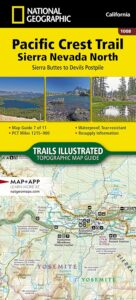
PCT map Sierra North

Lakes Basin Recreation Area Map

Lakes Basin California

Gold Lake California


Lakes Basin Map
Lakes Basin Map

Sierra City, Sierra Buttes, Lakes Basin Recreation Area, North Yuba River, Salmon Lake, Packer Lakes, Sardine Lake, Snag Lake, Gold Lake, Goose Lake, Haven Lake, Long Lake, Mud Lake, Smith Lake, Bear Lakes, Round Lake, Jamison Lake, Wades Lake, Rock Lake, Grass Lake, Grassy Lake, Squaw Lake, Cub Lake and the PCT

2022 currently unavailable on Amazon; might still be found at local ranger stations

Lakes Basin Recreation Area

Lakes Basin Loop / Gold Lake / Sierra Buttes / Plumas Eureka SP

Lakes Basin-Sierra Buttes & Plumas Eureka State Park Map (Part of Tahoe NF & Plumas NF ) Usually only found at Ranger Stations – Hard to find maps. Printed on paper in 2013. ISBN# 9781628114003

Lakes Basin Map

Sardine Lake, California

hikers map

Lakes Basin Map

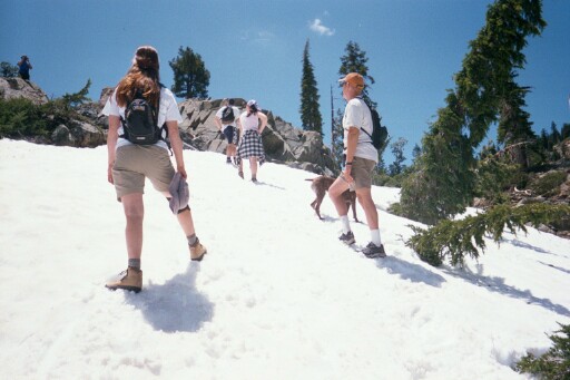
Hiking in Snow, in early Summer

see also –snow

Sierra Buttes Map by NatGeo

snowmoGold Lake Highway closes annually for winter, due to deep snow. Winter recreation include cross country skiing, snowmobiling and snow shoeing. Campgrounds are only open a few months during the summer.
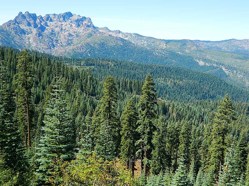
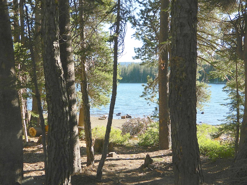
Lakes Basin and Gold Lake is located in Northern Gold Rush Country on the border of Plumas National Forest and Tahoe National Forest

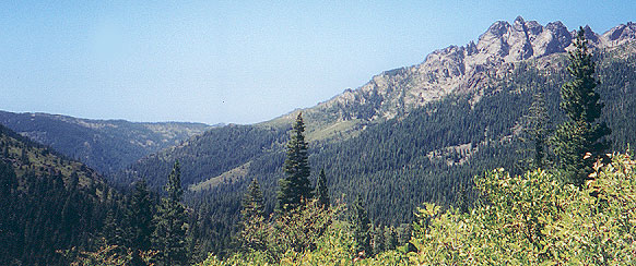
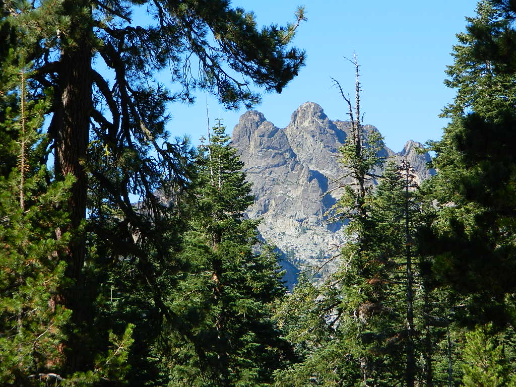
Sierra Buttes, as seen from Forest Road #37

Sierra Buttes, as seen from Forest Road #37

 camp map

Lakes Basin Map

Snag Lake, on Gold Lake Highway

nearby towns: