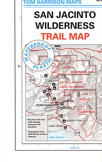
San Jacinto Wilderness Trail Map
Mount San Jacinto Maps
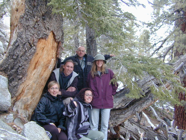
 Hiking trails near Idyllwild, CA
- Palm Springs Tramway hikes
- Mount San Jacinto hiking
- San Bernardino National Forest

USDA Map
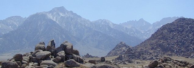
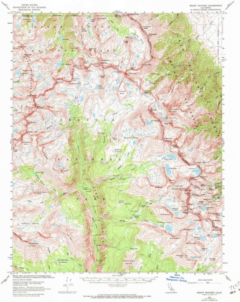
San Jacinto Wilderness
 Mount San Jacinto has a 33,400 acre wilderness surrounding the peak. This is part of the San Bernardino National Forest and lies on either side of San Jacinto State Wilderness. This rugged mountain area is excellent for rock climbing, hiking and backpacking. Elevations range from 6,000 to 10,000 feet.
Printed on plastic in 2010. Map Scale – 1:42,240 w/ contour lines- 100 feet. This map may still be available at Ranger Stations USFS San Bernardino, Big Bear Lake and Idyllwild, CA
![]()
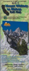
Mt San Jacinto Map
by Tom Harrison Maps

Southern California Mountains
Mt San Jacinto Map. Tahquitz Peak Climb, Tom Harrison Trail Map: San Jacinto Wilderness CA; Mount San Jacinto State Park Idyllwild Camping Backpacking; San Jacinto Peak, Palm Springs Hiking. Durable, waterproof plastic map; Folded. Map Scale: 42K; ISBN# 9781877689437
OLDER VERSION

towns nearby –
Hemet, CA
Idyllwild, CA
Indio, CA
Palm Desert, CA
Palm Springs, CA
Pine Cove, CA
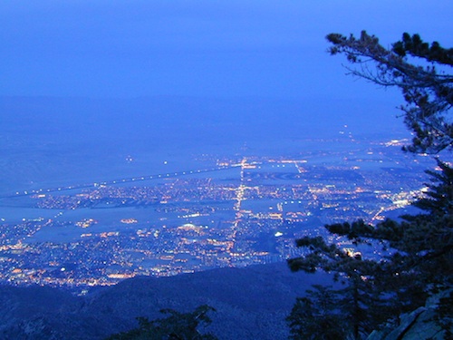
Palm Springs @ dusk, as viewed from top of tram
see also –
Big Bear Maps
Mount San Gorgonio Maps
Orange County Maps
San Bernardino National Forest Map
San Bernardino Forest Atlas