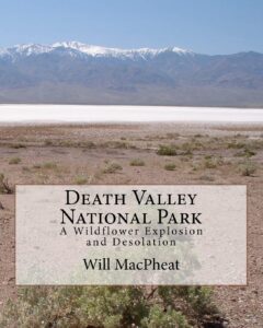
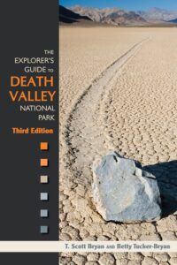
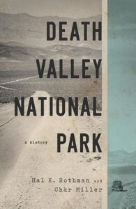
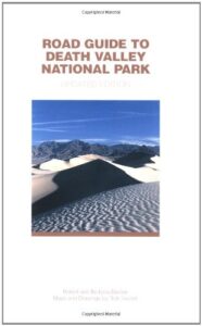
Death Valley Books

Death Valley Road Trip, Camping Death Valley National Park, Mojave Desert California
Death Valley Books

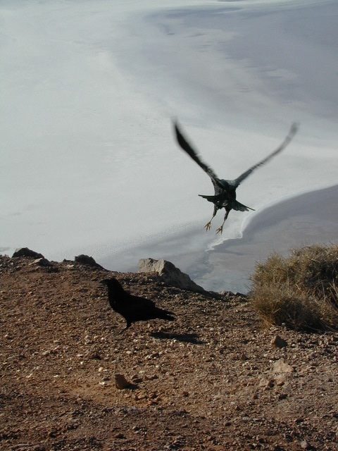
Dante’s View, DVNP

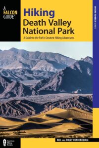
Hiking Book DVNP

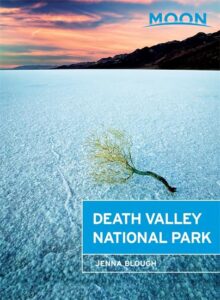
Moon Death Valley Book

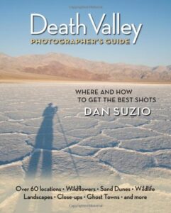
DVNP Photographers Book

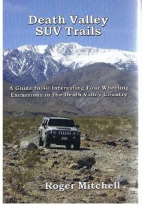
Off Road Death Valley

wildflowers death valley

Death Valley is a desert valley in Eastern California, in the northern Mojave Desert, bordering the Great Basin Desert. It is one of the hottest places on Earth.

Bad Water

The Badwater Basin is the point of lowest elevation in North America, at 282 feet below sea level. It is located 85 miles east-southeast of Mount Whitney, the highest point in the contiguous United States, with an elevation of 14,505 feet.

Tallest Peak

The highest point in Death Valley National Park is Telescope Peak, in the Panamint Range, which has an elevation of 11,043 feet. This is one of the few spots that you can see the lowest point and the highest peak in the lower 48 states.

Lying mostly in Inyo County, California, near the border of California and Nevada, in the Great Basin, east of the Sierra Nevada mountains, Death Valley constitutes much of Death Valley National Park and is the principal feature of the Mojave and Colorado Deserts Biosphere Reserve. It runs from north to south between the Amargosa Range on the east and the Panamint Range on the west; the Grapevine Mountains and the Owlshead Mountains form its northern and southern boundaries, respectively. It has an area of about 3,000 sq miles.

Desert Climate

Death Valley has a subtropical, hot desert climate, with long, extremely hot summers; short, mild winters; and little rainfall.

The valley is extremely dry, because it lies in the rain shadow of four major mountain ranges (including the Sierra Nevada and Panamint Range). Moisture moving inland from the Pacific Ocean must pass eastward over the mountains to reach Death Valley; as air masses are forced upward by each range, they cool and moisture condenses, to fall as rain or snow on the western slopes. When the air masses reach Death Valley, most of the moisture has already been lost and there is little left to fall as precipitation.

Explore Death Valley

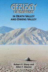
Geology of Death Valley

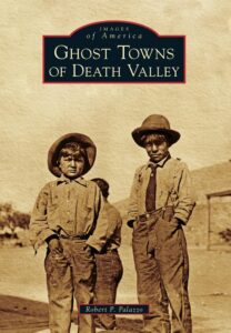
ghost towns death valley

History of Death Valley

Road Guide DVNP

see also

Death Valley Topo Map
Benchmark California Atlas
Inyo National Forest Map
Inyo Forest Topo Atlas
Jawbone Canyon Map

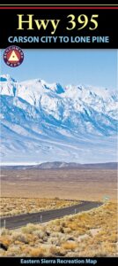
US 395 map

Amargosa Opera House @ Death Valley Junction
Death Valley Books

Cheeseboro Canyon Map

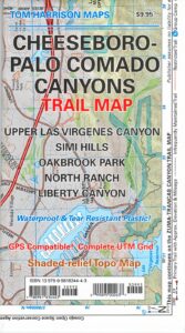
Cheeseboro Palo Comado Canyons Trail Map
by Tom Harrison

Simi Valley, LA hikes. Cheeseboro Canyon Map, Palo Comado Canyon

Simi Hiking Trails

Tom Harrison Cheeseboro Canyon Map. Hiking trails Los Angeles North, Upper Las Virgenes Canyon, Oakbrook Park, North Ranch, Liberty Canyon Hiking trailheads, mountain biking trails, outdoor recreation. Tom Harrison brand map, topographic, waterproof map. Released and printed in 2012. Scale 1:31,680 40 & 50 foot contour lines. ISBN# 9780981834443

Cheeseboro Canyon Map

nearby towns:

see also –Cheeseboro Canyon Map

Malibu Creek State Park Map
Point Mugu State Park Map

Columbia River Map

Columbia River Gorge

On the border between Oregon and Washington state, this huge river gorge is a recreation paradise. Fishing, camping, kayaking, wind surfing, hiking and much more.

Columbia River Gorge National Scenic Area

USDA Columbia River
Columbia River Map NFS

Columbia River Camping, Oregon Hikes, Columbia River Gorge Campgrounds

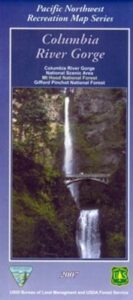
Recreation Map Oregon Washington. Topographic Map. Pacific Northwest Recreation, Outside in Oregon, Columbia River National Scenic Area, Maps, Mount Hood National Forest, Gifford Pinchot National Forest

On the borders of southern Washington state and the north boundary of Oregon lies the Columbia River Gorge, which cuts through the Cascade Mountain Range, and is the deepest, spectacular river canyon on the entire west coast. 80 miles long and 4,000′ deep. Bird watching, boating, camping, fishing, hiking, mountain biking, picnicking, rock climbing, windsurfing, wildflowers. Waterfalls in Oregon. Multnomah Falls is the second highest in the United States.

Map Scale: 1 inch = 1 mile; BLM & USDA. Printed in 2007 on waterproof plastic. This map can also be found at USFS Ranger Stations.

Columbia River Map

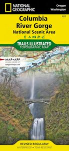
National Geographic has a full color map for this region

Columbia River Gorge NSA
Map #821

Columbia River Map

Mt Hood OR

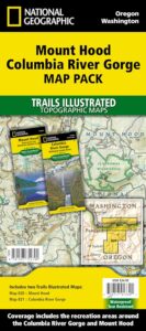
Mount Hood Map, Columbia River Gorge
MAP PACK (2 map set)
National Geographic – Trails Illustrated Map

Ishi Wilderness Map

Ishi Hiking Map

Ishi Wilderness Map

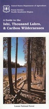
This Northern California map issued by the USDA National Forest includes 3 separate wilderness areas –

Ishi @ Cohassett / Chico Hikes / Lassen Maps

Caribou Wilderness, Ishi Wilderness & Thousand Lakes Wilderness

Lassen National Forest

Three different NorCal wilderness areas: Caribou Wilderness, Ishi Wilderness, Thousand Lakes Wilderness are all featured on this USDA topo map. Perfect for a day hike reference or extended backpacking adventures. Map Scale = 1″ to mile; Printed on paper.

Ishi Wilderness Map

towns nearby:

downhill from a volcano, Lassen Peak

This mountain foothill land is etched by wind and water, and dotted with basalt outcroppings, caves, and unusual pillar lava formations. The land is a series of east-west running ridges framed by rugged river canyons, with the highest ridges attaining elevations of 4000′. Deer Creek and Mill Creek are the principal drainage and flow into the Sacramento River.

oak forestsThe sun-baked south slopes are covered with chaparral brush. Pines and oaks thrive on the moister slopes facing north and lush damp forests line the river banks. This area is home to pine clusters, dense areas of ponderosa pine growing on terraces in river cut canyons.

Oh Deer! The largest migratory deer herd in California, the Tehama deer herd, winters in this Ishi wilderness area. In addition, wild hogs, mountain lions, black bears, coyotes, bobcats and jack rabbits also live out here. A State Game Refuge, where hunting is not permitted, occupies most of the Ishi Wilderness.

However, special fishing regulations are in effect for fishing in Deer and Mill Creeks, home to many fish species. And of course, a valid California fishing license is required.

A variety of raptors including hawks, eagles, falcons, and owls nest in the rock cliffs. Wild turkey, quail, mourning doves, canyon wrens, band-tailed pigeons, bats and many songbirds are frequently seen.

Ishi Wilderness Map

see also – 

Lassen Books
Lassen Forest Topo Atlas
Lassen National Forest Map USDA
Lassen Park Maps
Bucks Lake Wilderness Map
Fishing Maps