Mount Diablo Map

Mt Diablo Map
San Francisco East Bay

Connecting regional parks and state park lands; includes the 30 mile long Diablo Trail and the Los Vaqueros Reservoir at Livermore, CA

Mount Diablo is the tallest mountain peak in the East Bay San Francisco area. Hiking trails, horseback riding, a developed campground and picnic spots.

Mount Diablo Map

Mount Diablo Map

San Francisco Trail Maps

SF Hiking Guides & Trail Maps

hiking trail maps

Marin County – real open space

hikerWelcome to Total Escape’s San Francisco Trail Map overview. The San Francisco Bay Area is one of the most populated areas of the Golden State, although it does offer some of the best “city hiking” anywhere around. Located next to the coast, this area has beaches, cliffs, waterfalls, redwood groves and numerous local mountains.

Several brands of hiking maps exist for the San Francisco Bay Area. National Geographic, Tom Harrison, Wilderness Press.

San Francisco Trail Maps:

mount diablo hike

hike mapcamp mapsbiking maps


San Francisco Trail Mapshorseback maps

Maps and Guide Books for hiking, trail running, horseback and mountain bike trails, plus areas for picnicking, local camping spots and the very best view points in all the Bay Area of California. Parklands include – Redwood Forests, Open Spaces, Beach Cliffs, State Parks, National Parks, Wildlife Refuges, and Preserves. From the Point Reyes Lighthouse to the peak of Mount Diablo, we have it covered right here.

Wilderness Press Maps:

2022 unfortunately now all 3 of these recreation maps below are currently out of print and not easy to find online.

Pt Reyes National Seashore Map

Central San Francisco Peninsula Trails

San Francisco Peninsula Parklands

hiking maps

Tule Elk Preserve on the far north end of the Point Reyes peninsula

San Francisco hiking trail maps

Mt Diablo Hiking Trails, East Bay San Francisco, California

see also –

SF Area Maps
Big Sur Maps

Marin Hiking Maps

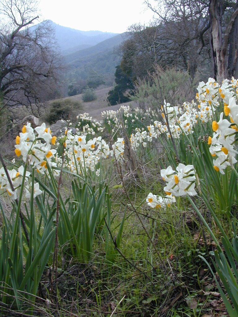
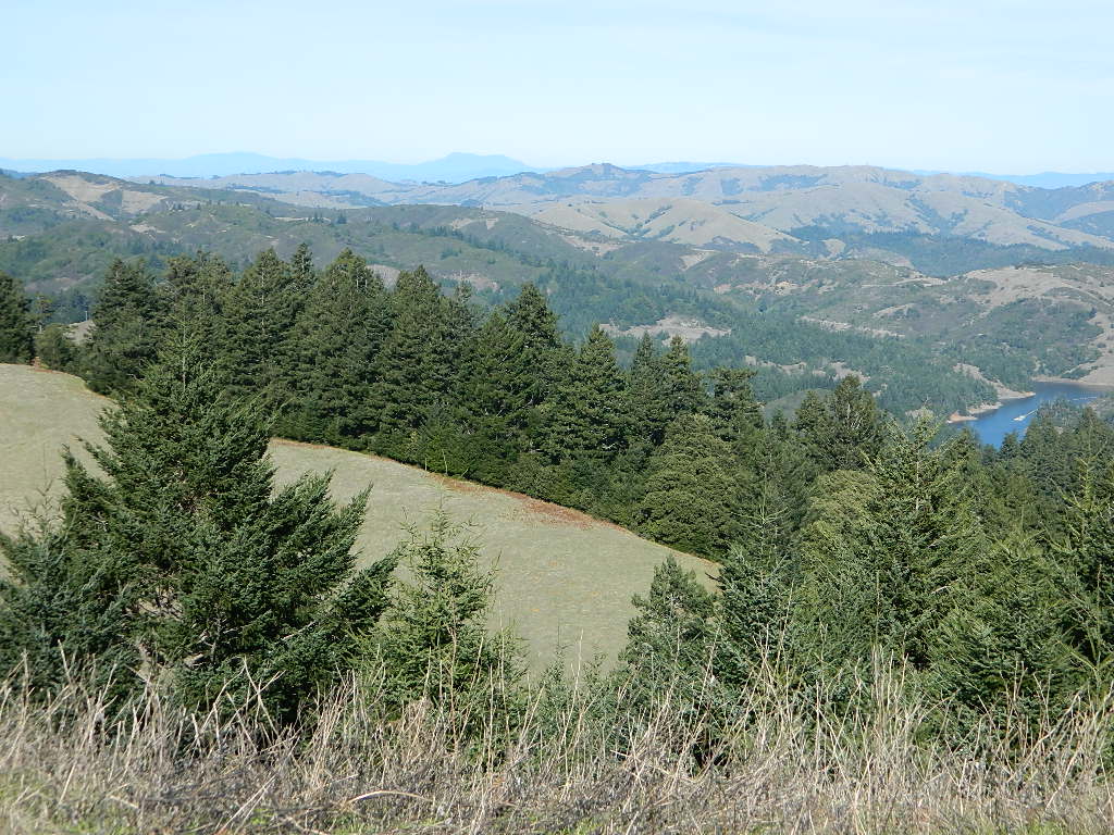
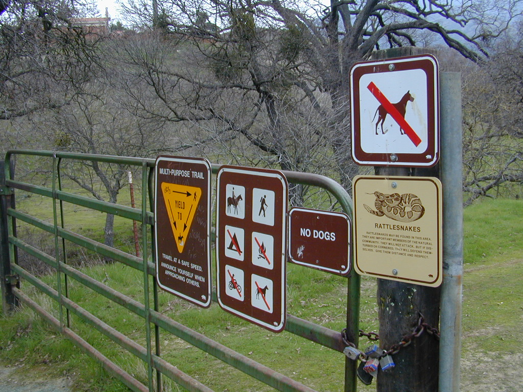
Marin Hikes: Bay Area Trail Maps

Marin Hiking Maps

Tom Harrison Maps for Marin County

Marin Hiking Maps

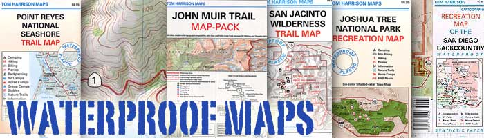
Tom Harrison makes the most topographic trail maps for the San Francisco Bay Area, which include hiking, mountain biking routes as well as trail camps and campgrounds. Printed on waterproof plastic, the durable outdoor maps are known to last decades and are indeed, tear-resistant.

North Marin, Novato Map

Marin Hiking Maps

Tom Harrison Trail Map: Marin Hiking Trails, North Marin County, Novato California Hikes. Rush Creek, Marin Deer Island, Indian Tree, Little Mountain, Verissimo Hills, Stafford Lake County Park, Olompali State Park, Petaluma Marsh, Mount Burdell. Petaluma Hikes Marin. Durable, waterproof plastic map; Folded. Map Scale: 24K; ISBN# 9781877689963

Marin Hiking Maps

Marin Hiking Maps

Central Marin, San Rafael Map

2022 currently unavailable on Amazon

Marin Hiking Maps

Tom Harrison Trail Map: Marin Hiking Trails, Central Marin, San Rafael California Hikes. China Camp State Park, Terra Linda, San Pedro Mountain, Sleepy Hollow, Corte Madera Marsh, Sun Valley Hikes, Fairfax, California, Ross Valley, Greenbrae, Baltimore Canyon Preserve, Blithedale Summit, King Mountain, San Pedro Mountain. Durable, waterproof plastic map; Folded. Map Scale: 24K; ISBN# 9781877689949

Marin Hiking Maps

Southern Marin Hiking Map

Southern Marin County Hiking Map, Marin Redwood Forests, Marin Topo Map. Mill Valley Trails, Fort Baker, Ring Mountain Trails, Horsehill Preserve Marin Headlands, Tiburon Peninsula, Rodeo Valley, Oakwood Valley, Tennessee Valley mountain bike trails, equestrian, paragliding spots, parasail, biking trailheads Marin beaches, backpacking topos, beach waterfalls. Mountain Biking Maps. Tom Harrison; Mill Valley Hiking Maps. Durable, waterproof plastic map; Folded. ISBN# 9781877689901

Marin Hiking Maps

hiking

Marin Hiking Maps

Zion National Park Map

Zion National Park Map

Waterfalls appear after a big sudden thunderstorm.

National Geographic Trails Illustrated Map #214
Zion Canyon, Virgin River, Zion NP

Zion National Park, UT – Zion Narrows, Kolob Canyons, La Verkin Creek Trail, Hop Valley Trail, Wildcat Canyon, West Rim Trail, Floor of the Valley Road, East Rim Trail, Telephone Canyon, and the Virgin River.

Waterproof Map Paper. Printed in 2019, ISBN 9781566952972


hikers map

Zion National Park Map

Zion Canyon is a mini Yosemite Valley, in red rock, in the high desert.

A terra cotta colored wonderland.

Zion National Park is one of the most visited of all the Utah National Parks Loop, due primarily to its proximity to Las Vegas, NV and Interstate 15.

Zion National Park Map

Zion Canyon, from hiking trail to Angel’s Landing

ZION NP OVERVIEW: To prevent traffic jams and preserve the wildness, the NPS offers a common parking lot (on Hwy 9 @ Springdale, UT) with tram/shuttle service to and from the valley. Plan to be away from your car most of the day when visiting the main canyon. Unless of course, you have reservations at the main lodge. Numerous hiking trails, the Virgin River, Zion Lodge and a restaurants.

Utah Highway 9 leads east through tunnels and more amazing rock scenery, with abundant pullouts for RVs and visitors. Nice uncrowded hikes can be found on the east side of the National Park at many of these random parking lots along the highway.

A small portion of Zion National Park parallels Interstate 15. This Kolob Area is far less crowded than the rest of the park, but no camping is allowed.

Abundant boondock camps can be found all over the Zion area, even along the freeway.

Awesome camps that we discovered in the late 1990’s are now well known and crowded, all year long.

Free river beach campsites W of Rockville, high country of the Smithsonian Butte trail, above Grafton ghost town. These areas are NO LONGER a secret, and are very crowded. BLM camping at Leeds exit is on a first come basis and limited, so you better arrive before dark for the best spots.

EXPERTS TIP – Buy a real map and learn to find campsites, that no one else knows about. Mark a GPS waypoints for future reference. Have the whole place to yourself for once!

Benchmark Atlas: Utah

Zion National Park Map

Hiking Zion National Park – Refrigerator Canyon. Refreshingly cool breezes pass through this canyon, so even hot summer days are okay. A great place to escape the mid-day heat.

avenzabar

apps/maps:
download digital topos & maps

driftwood

more maps on Utah


Zion National Park Map

Atop Angel’s Landing, Zion National Park, Utah

see also –

Bryce Canyon National Park Map
Capital Reef National Park Map 
Utah Maps
Utah Books