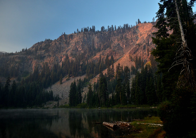
Marble Mountain Wilderness Map

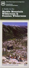
Marble Mountain / Russian Wilderness Map

Marble Mountain Wilderness MapMarble Mountain Wilderness Map USDA

Marble Mountain Wilderness Map

Klamath River / Marble Mountains / Russian Wilderness
Marble Mountain Wilderness

Klamath National Forest

Marble Mountain Wilderness Map

OLDER VERSION

Yreka, Happy Camp, Klamath River, Salmon River, Scott River, Fort Jones, Orleans, Cuddihy Lake, Upper Albert Lake, Russian Wilderness.

Perfect for a day hike reference or extended backpacking adventures. 1″ & 2″ to mile; Waterproof plastic map paper. This map can usually be found at local Ranger Stations. ISBN# 9781593514204

NorCal:
best guide book for wild

Cliff Lake Backpacking Trip, Marble Mountain Wilderness, California, Aug 2007

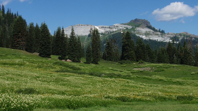
horse trail mapsThe Marble Mountain  Wilderness is an area of high divides, deep canyons and perennial mountain streams provides habitat for a wide variety of plant and animal life. With more than 7,000 feet of vertical relief, soils from several rock types, and abundant rain and snowfall, the diversity of ecosystems is unequaled anywhere else in the country.

fishing mapWith 89 lakes and two major Wild and Scenic river systems – Wooley Creek and the North Fork Salmon River, as well as 32 miles of the Pacific Crest Trail, there are many recreation opportunities. Elevations range from 400 to 8,299 feet; the wilderness has highly variable terrain with low-elevation canyons and high ridges such as the 22-mile-long English Peak ridge.

Popular activities include fishing, backpacking, mountaineering, rock climbing, and cross-country skiing.

camp map

There are also numerous caves within this wilderness, accessible to prepared spelunkers. They all feature stalactites and other flowstone formations, and are accessible mostly by vertical drops. Due to the hidden nature of most of the cave mouths, caving is not regulated, though the Forest Service and National Speleological Society request only experienced cavers attempt to access these dangerous caves. Signs at the trail heads that access the Marble Rim warn of white nose syndrome. One of the deepest caves in the continental US is located in the wilderness, Bigfoot Cave.

Sky High Basin 05

Summit Lake


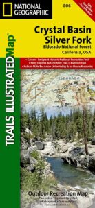
Crystal Basin Silver Fork Map

Crystal Basin Silver Fork
Crystal Basin & Silver Fork of Eldorado NF
NatGeo Map # 806

Loon Lake, Central Sierra Nevada Maps

hikers mapTrails Illustrated Map from National Geographic. Crystal Basin / Silver Fork Map inside El Dorado National Forest map #806. 4×4 routes for the Rubicon Trail – all the way to Tahoe. Loon Lake, Union Valley Reservoir, Ice House Reservoir. Auburn State Recreation Area (Auburn SRA) and Carson – Emigrant Historic National Recreation Trail. Pony Express National Historic Recreation Trail.

Mountain bike trails, backpacking routes, equestrian and hiking trail mileage. High country map. Many rivers, roads and trails to explore. 2-sided map. Very detailed & colorful. Waterproof Plastic Map; Tear Resistant. GPS data. Scale = 1:63,360 ISBN#9781566952644
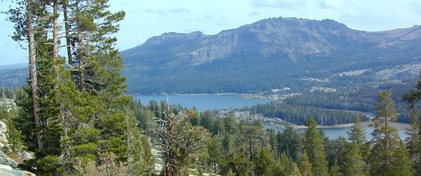
Silver Lake @ Carson Pass

Crystal Basin Silver Fork

The Crystal Basin spreads over 85,000 acres north of Highway 50 and west of Desolation Wilderness. Wonderful views of the Crystal Range extends north along the ridge from prominent Pyramid Peak (9963′ elev), Mount Price, Red Peak, and Silver Peak.

The Crystal Basin Recreation Area is a joint development between the Sacramento Municipal Utility District and the National Forest Service. SMUD operates a series of reservoirs and hydroelectric powerhouses which furnish energy to the Sacramento area.

see also –

Carson Iceberg Wilderness Map
Desolation Wilderness Trail Map
Eldorado National Forest Map
Gold Country Maps

Cuyamaca Rancho State Park Map

Cuyamaca Rancho State Park
San Diego Mountains

Cuyamaca Map
Rancho Cuyamaca State Park Map
Tom Harrison

  • Cuyama Peak
  • Cuyama Lake nearby

Hiking San Diego Mts.
Campground Camping

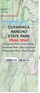
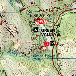
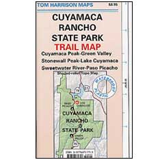
hikers mapRancho Cuyamaca State Park inside Cleveland National Forest; Hiking Map San Diego Mountains, Laguna Mountains Camping, Julian Campgrounds, Cuyamaca Peak, Stonewall Peak, Paso Picacho, Lake Cuyamaca, Green Valley Falls, Sweetwater River. Cuyamaca Maps Backpacking San Diego Maps; Durable, waterproof plastic map; Folded. Map Scale: 32K; ISBN# 9781877689796

cuyamaca map

  • campCuyamaca Map
  • climb
  • hike
  • horseback
  • mountain bike
  • picnic
  • waterfalls
Cuyamaca Map

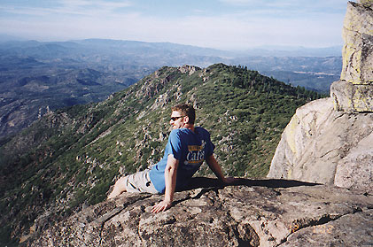
Cuyamaca Peak, East San Diego County

San Diego Hiking Maps

Day use areas and overnight camping in the San Diego mountains. Located along Highway 79, in between Julian and Interstate 8, Rancho Cuyamaca State Park is a popular spot for family camping, day hikes and picnics. Oak foothills, pine forests, meadows, boulder peaks, waterfalls, campgrounds, trailheads and picnicking areas.Cuyamaca Map

  • Cuyamaca Peak
  • Green Valley
  • Lake Cuyamaca
  • Paso Picacho
  • Stonewall Peak
  • Sweetwater River
Cuyamaca Map

older edition

Lake Cuyamaca is a recreation area offering boating, fishing, and camping at the reservoir. Campground, store, cafe, and tackle shop are available at the lake. The small reservoir is stocked with trout annually, and is the only San Diego lake that is able to stock trout all year long.

Conical Middle Peak is above the lake on the east, and North Peak is on the north side. Hiking trails reach the summit of Cuyamaca Peak, located to the southwest of Cuyamaca Reservoir and inside Cuyamaca Rancho State Park.

The dam at Cuyamaca lake is the second oldest in California still in use, completed in 1888. It was built to supply drinking water to the city of San Diego. It was originally piped down to San Diego in wooden flumes. It continues to be part of the municipal water supply system for San Diego County.

cuyamaca maps

see also –

Cleveland National Forest Map
Cleveland Forest Atlas

Mount Laguna Trail Map
San Diego Backcountry Map
San Diego County Trail Map
Pine Creek – Hauser Wilderness Map 
Anza Borrego Desert Map

Mammoth Lakes & Mono Divide Map

Mammoth Mono Map
NatGeo Map #809

Mammoth Lakes Map
Mammoth Lakes & Mono Divide Map

Trails Illustrated Map from National Geographic. Mammoth Lakes & the Sierra Nevada Mono Divide on one map #809. This map covers areas inside Inyo National Forest & Sierra National Forest.

Many know the Eastern Sierra & US Hwy 395, but few know about the Mono Divide, deep in the majestic Sierra Nevada, way up behind Mammoth Lakes.  Mono Hot Springs, Highway 168, back beyond Huntington Lake & Kaiser Pass. Florence Lake, Edison Lake, Vermillion Camp.

Only on foot connects the Western Sierra with the steep granite ridges and deserts on the east side.

Ansel Adams Wilderness, Dinkey Lakes Wilderness. The Minarets, Devils Postpile National Monument. Hike PCT, John Muir Trail. Sierra Nevada High Country Hiking Map. Many alpine lakes to fish, hike and explore in the wilderness – the high country. Very detailed & colorful. Waterproof Plastic Map; Tear Resistant. GPS data. Printed 2010. ISBN# 9781566952668

Convict Lake w/ dogs

Mammoth Lakes, Mono Divide High Country, Topographic Maps, Topo, Hike, Backpack, Fishing, Camping, Mountain Bike, Trail Maps, All Outdoor Recreation

nearby towns:

minarets

The Minarets @ Mammoth

see also –

Devils Postpile Trail Map
Mono Divide High Country Map
Ansel Adams Wilderness Maps
John Muir Wilderness Maps
Inyo National Forest Map USDA
Sierra National Forest Map USDA

Lake Genevieve

Lake Genevieve