Cucamonga Wilderness Map

Cucamonga Wilderness Map

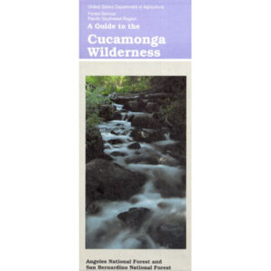
USDA Cucamonga Wilderness Map

2024 update: USGS may actually have this older paper map

hikers map

alternate map:

San Gabriel Mountains Map
by Wilderness Press

w/ Cucamonga Wilderness, Sheep Mountain Wilderness, San Gabriel Wilderness and Magic Mountain Wilderness

Cucamonga Wilderness Hiking Map, Angeles National Forest, San Gabriel Forests, Lytle Creek Routes, Mount Baldy Ski Area, West Baldy, Devils Backbone, Mt. Baldy Trails, Manker Flats, Stockton Flats, Mt. San Antonio, Telegraph Peak, Icehouse Canyon, Thunder Mountain, Timber Mountain, Cucamonga Peak. Waterproof plastic map.
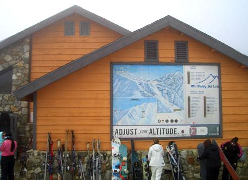
mount baldy ski lodge

Mt Baldy photo by Chris DiNenna

trails

Hiking trails reach the summit from four sides of the mountain, and one route can be completed with assistance from the nearby ski lift. The trails vary in difficulty, and there are plenty of options for novices, as well as experienced hikers.

Mt. Baldy Notch – (3.5 miles one way): The trail begins at Manker Flats, where the Baldy Notch Service Road can be taken to the notch. The trail provides scenic views at the notch, and other trails ahead.

Devil’s Backbone – (3.2 miles one way from Notch: A service road at Mt. Baldy Notch leads to the Devil’s Backbone trailhead and continues to the main peak.

Mt. Baldy Trail – (6.5 miles one way to Mt. Baldy Summit): This is the oldest and longest trail to the summit. Because it starts at Mt. Baldy Village, it has almost 6000′ of elevation gain.

Icehouse Canyon – (3.7 miles one way): The Icehouse Canyon trail begins in the parking lot at Icehouse and goes all the way up to Icehouse Saddle where a number of trails can be taken either to the Notch or to nearby peaks such as Ontario and Cucamonga. (5.5 miles).

Ski Hut Trail – This trail follows the east side of the San Antonio Creek canyon to a small backcountry ski hut owned by the Sierra Club. A use trail continues around the left side of the bowl and then to the summit.

Three T’s – (5.3 miles one way): The trail starts and ends at the Icehouse Canyon Trailhead. It leads to views from the summits of Thunder, Timber and Telegraph Mountains.

hikers map

see also –

Angeles Crest Maps
Angeles National Forest Map
Angeles Forest Atlas
PCT Map #2 
San Gabriel Mountains Map 

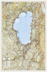
Lake Tahoe Basin Map

Two different recreation maps for the Lake Tahoe Basin are created by the USDA & NatGeo. Several smaller brands for regional topographic trail maps. The US Forest Service has the Tahoe National Forest Map that encompasses a much larger area. Numerous books exist for backpacking and hiking around Tahoe.

Lake Tahoe Basin Map

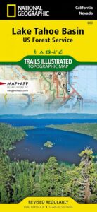
NatGeo Map #803
Tahoe Basin

Tahoe NatGeo Map

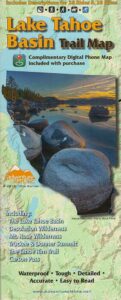
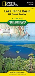
Lake Tahoe Trails Illustrated Map from National Geographic

Recreation Map for Lake Tahoe Basin, Topographic Lake Map, Backroads Hiking Maps, Tahoe Backpacking, Tahoe Camping, All Campgrounds, Trailheads, Creeks and Lakes. Sierra Nevada Back Roads, Truckee River Camping and Hiking Map. Very detailed and especially colorful, topo map. In this case, a 2 -sided map, waterproof plastic map; tear resistant. GPS data. Map scale 1:63,360 / Contour Interval = 50 feet. ISBN# 9781566953344

Lake Tahoe Basin Map

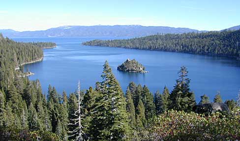
Lake Tahoe Basin MapMany believe that Lake Tahoe was formed by the collapse of an ancient volcanic crater, but the natural lake and mountain basin was actually formed by the rise and fall of the landscape due to faulting.
The Tahoe Basin which spans approximately 22 miles long (and 12 wide), is located on top of the Sierra Nevada mountain range. Separating California from Nevada state, a year-round, mountain resort destination. In particular, this is considered the north part of the majestic Eastern Sierra range. Furthermore, Lake Tahoe is often referred to as “Jewel of the Sierra”.camp map

Largest freshwater, alpine lake in North America.
Second deepest lake in the U.S.
Second highest lake in the U.S.

LAKE TAHOE – 6625′ elevation above sea level

Equally as relevant, our wide range of Tahoe maps listed below are current, full color publications – covering wildlife to wildflowers, forest back roads to 4WD routes, horseback trailheads to hiking trails, mountain peaks to meadows, creeks to waterfalls, trail camps to campgrounds, and of course cross country skiing to backcountry ski tours.

NatGeo Tahoe Map Pack

Map Pack NG

NatGeo Wilderness Map:
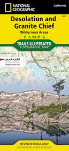
Desolation & Granite Chief

desolation map

Adventure Maps Tahoe Trails

Trail Map Lake Tahoe

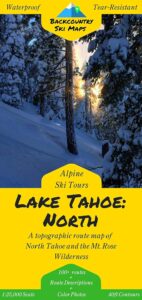
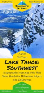
Tahoe Backcountry Ski Maps

Ski Maps Tahoe N

Tahoe Ski Map
Lake Tahoe Basin Map

Lake Tahoe Basin Management Unit, USDA Map


tahoebasin

Lake Tahoe Map USDA
Lake Tahoe Basin Management Unit

NFS Lake Tahoe Basin Map USDA

Lake Tahoe Basin & Vicinity

USGS Map California: Lake Tahoe Basin Map; Sierra Nevada Mountains, Lake Tahoe, Desolation Wilderness, Granite Chief, Fallen Leaf Lake. Tahoe Recreation, Camping Map. USDA NFS Recreation Area. Certainly all forest lands, trails and roads surrounding Lake Tahoe; 10 miles all the way around lake. Printed on waterproof plastic. Pictured published 2010. ISBN# 9781593514808.

LAKE TAHOE
OUTDOOR RECREATION

  • backpackinghikers map
  • boating
  • camping
  • casinos
  • cycling
  • fishing
  • hikinghorse trail maps
  • horseback
  • kayaking
  • mountain biking
  • mountaineering
  • off-roading
  • sailing4x4 maps
  • snow skiing
  • snowboarding
  • swimming
  • water skiing
  • xc skiing

see also –
Tahoe Rim Trail
Tahoe National Forest Map
Lake Tahoe Maps
Tahoe 4×4 Map Guide

Lake Tahoe Basin Map

Tahoe National Forest

nearby towns:

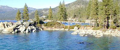
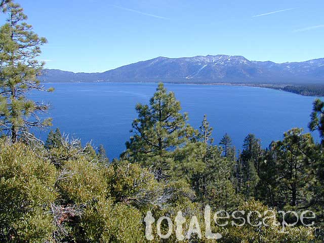
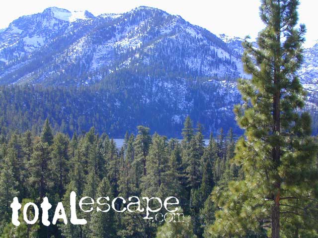
In the distance, Desolation Wilderness can be seen on the opposite side of the lake, typically covered in snow more than half the year.

snowridge

Desolation Wilderness on the Westside of Lake Tahoe

Lake Tahoe Maps

Maps of Lake Tahoe California

Lake Tahoe Maps

Lake Tahoe Maps come in all shapes and sizes. For example, National Geographic makes a large Wall Map for display, listed at the bottom of this page. Furthermore, many recreation maps covering a wide range of activities, are also found for the Tahoe region.

Listed are topographic maps for fishing, day hiking, mountain biking, peak climbing, backpacking, camping, off-roading, cross country skiing, as well as back country snow skiing.

Backcountry Ski Maps for TahoeLake Tahoe Maps

Ski Maps Tahoe N

Tahoe Ski Map

Lake Tahoe is one of the most popular destinations in all the Sierra Nevada mountains. Its proximity to Interstate 80 (Donner Pass), in addition to large cities such as – Reno, Nevada and Sacramento, California – make it an easy to reach location that is focused on outdoor recreation vacations. Snow is usually present more than half the year, and winter blizzards can blow hard in these higher elevations. Be prepared drive with chains and enjoy being snowed-in, when the real dumping starts. Consequently, be ready to escape to the indoors, with the casinos of South Lake Tahoe.

Largest freshwater, alpine lake in North America.
Second deepest lake in the U.S.
Second highest lake in the U.S.

LAKE TAHOE – 6625′ elevation above sea level

Franko Maps
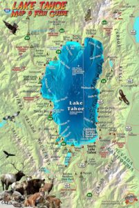
Lake Tahoe Map & Fish Guidefishing map

Franko Map Tahoe Fish

Tahoe Wall Map in Tube
Lake Tahoe Wall Map

Utah Books

Utah Camping, Hiking & Snow Skiing Books

Utah Books

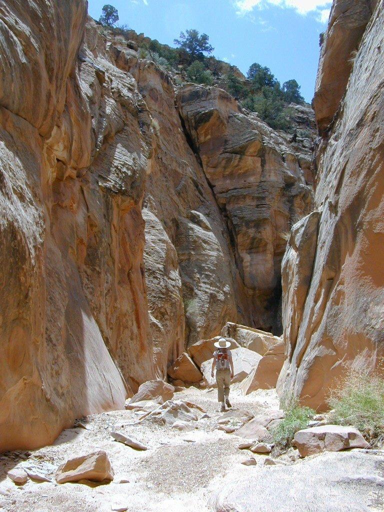
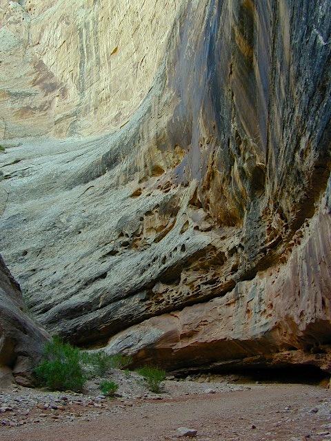
Too many slot canyons to hike them all.

Utah Books


A thick, heavy duty guide book to the awesome back roads of Utah. One of Total Escape favorites!

Utah is bordered by Colorado to the east, Wyoming to the northeast, Idaho to the north, Arizona to the south and Nevada to the west. It also touches a corner of New Mexico in the southeast. Utah covers an area of 84,899 sq miles. Of the fifty U.S. states, Utah is the 13th-largest by area; with a population over three million, it is the 11th-least-densely populated.

Urban development is mostly concentrated in two areas: the Wasatch Front in the north-central part of the state, which is home to roughly two-thirds of the population and includes the capital city, Salt Lake City; and Washington County in the south, with more than 170,000 residents. Most of the western half of Utah lies in the Great Basin.

Utah is known for its natural diversity and is home to features ranging from arid deserts with sand dunes to thriving pine forests in mountain valleys. It is a rugged and geographically diverse state at the convergence of three distinct geological regions: the Rocky Mountains, the Great Basin, and the Colorado Plateau.

find utah park maps

Utah Books

big bad boy

Utah Books

Utah Books

Capital Reef National Park


Utah Books

Utah Books

Free Camping @ Fish Lake NF, Utah

see also –

Grand Canyon Map
Zion National Park Map
Bryce Canyon Map
Capital Reef National Park Map
Arches National Park Map
Canyonlands National Park Map