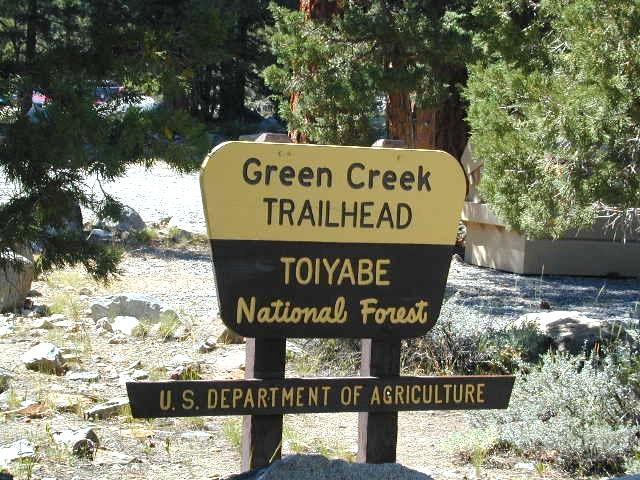
Green Creek trailhead at NFS campground
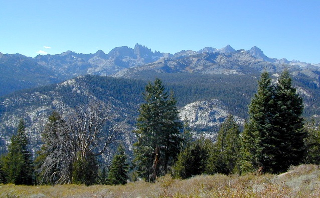
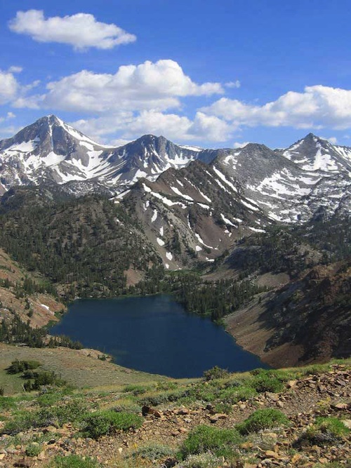
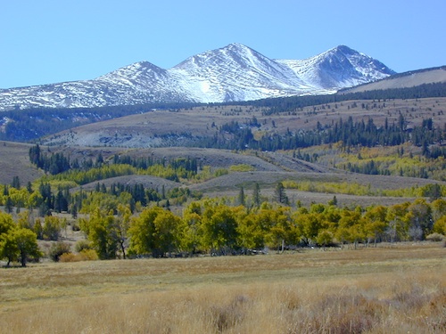
Snowy mountain peaks usually do not melt until late spring, so expect mud or snow from November – May. Summer is great time for warm weather, backpacking, mountaineering, horseback rides to the highcountry, alpine lakes or stream fishing. Aspen groves are excellent in early Autumn.
Mucho wilderness surrounds the actual Hoover Wilderness Area – with Yosemite NP bordering most of west side and US Highway 395 w/ National Forest situated along the eastern side. Cattle grazing is common in summer months on the National Forest land, so don’t freak out at the cows. Always drive slow and cautiously around all livestock.

Hoover Wilderness Map
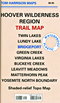
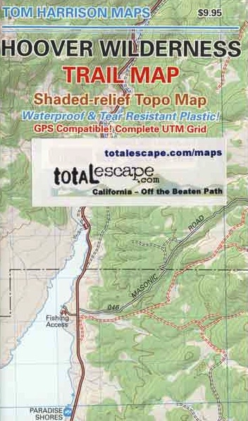
Tom Harrison Maps
Eastern Sierra Wilderness
Hoover Wilderness Region Trail Map
Hoover Wilderness Trail Map, Bridgeport California Backpacking High Sierra CA; Twin Lakes Hoover trailhead access, Lundy Lake, Green Creek Fishing Camping, Virginia Lakes Eastern Sierra, Buckeye Creek Campgrounds, Buckeye Hot Springs, Leavitt Meadows, Matterhorn Peak, Yosemite Park north boundary, Hoover Trail ![]() Maps; Durable, waterproof plastic map; Folded. Map Scale: 63.36K; ISBN# 9781877689895
Maps; Durable, waterproof plastic map; Folded. Map Scale: 63.36K; ISBN# 9781877689895
![]() download digital version of this map –
download digital version of this map –
Hoover Wilderness Map
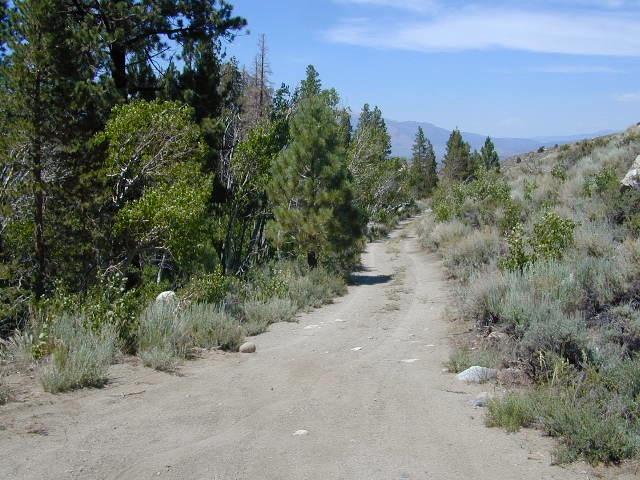
Dirt roads for camping, off of Green Creek Road
see also –
Mono Lake Map
Toiyabe National Forest Map USDA
Yosemite Highcountry Trail Map
nearby destinations –
Bridgeport
Buckeye Creek
Buckeye Campground
Buckeye Hot Springs
Green Creek Road
Leavitt Meadows
Matterhorn Peak
Twin Lakes
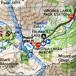
Virginia Lakes
Yosemite Northeast
OLD MAP
PREVIOUS VERSION
DUNDERBERG MEADOWS