Mammoth Mono Map
NatGeo Map #809
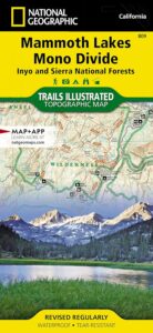

Mammoth Lakes & Mono Divide Map
Trails Illustrated Map from National Geographic. Mammoth Lakes & the Sierra Nevada Mono Divide on one map #809. This map covers areas inside Inyo National Forest & Sierra National Forest.
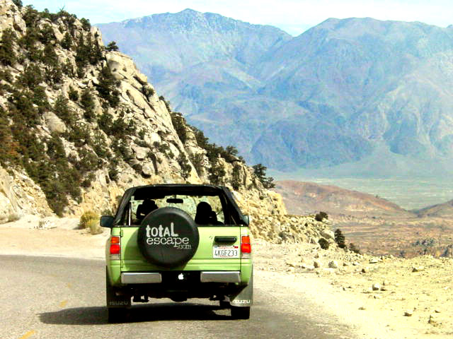
Many know the Eastern Sierra & US Hwy 395, but few know about the Mono Divide, deep in the majestic Sierra Nevada, way up behind Mammoth Lakes. Mono Hot Springs, Highway 168, back beyond Huntington Lake & Kaiser Pass. Florence Lake, Edison Lake, Vermillion Camp.
Only on foot connects the Western Sierra with the steep granite ridges and deserts on the east side.
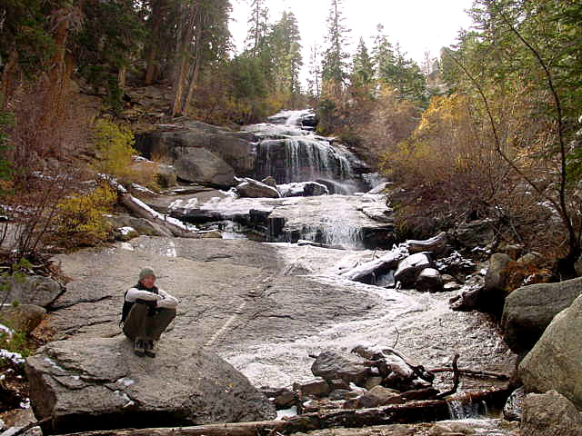
Ansel Adams Wilderness, Dinkey Lakes Wilderness. The Minarets, Devils Postpile National Monument. Hike PCT, John Muir Trail. Sierra Nevada High Country Hiking Map. Many alpine lakes to fish, hike and explore in the wilderness – the high country. Very detailed & colorful. Waterproof Plastic Map; Tear Resistant. GPS data. Printed 2010. ISBN# 9781566952668

Mammoth Lakes, Mono Divide High Country, Topographic Maps, Topo, Hike, Backpack, Fishing, Camping, Mountain Bike, Trail Maps, All Outdoor Recreation
nearby towns:
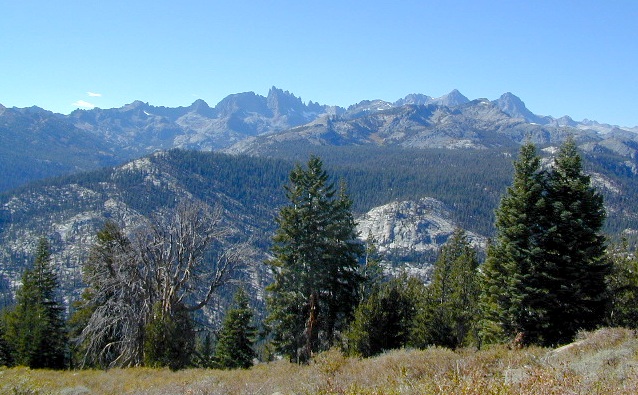
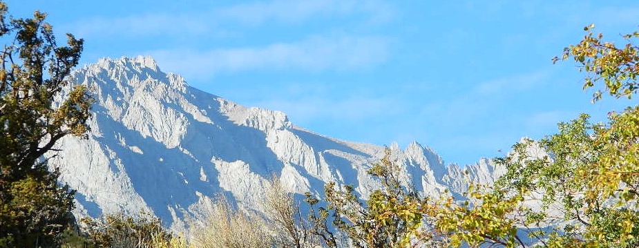
The Minarets @ Mammoth
see also –
Devils Postpile Trail Map
Mono Divide High Country Map
Ansel Adams Wilderness Maps
John Muir Wilderness Maps
Inyo National Forest Map USDA
Sierra National Forest Map USDA
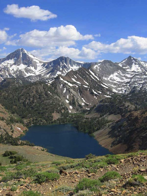
Lake Genevieve


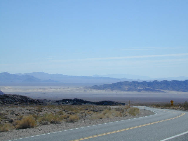
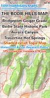
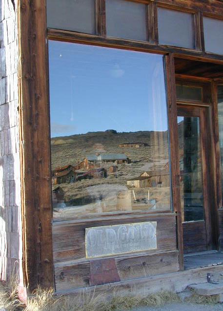
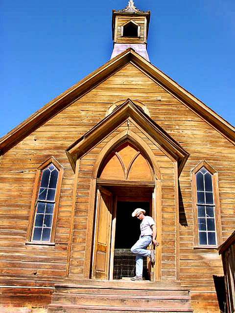
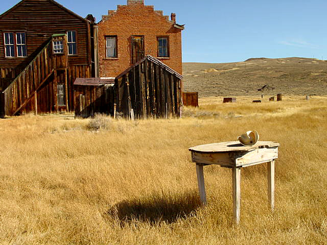
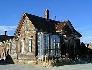 Bodie State Historic Park
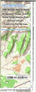

 With miles of mapped trails including the popular Pacific Crest and John Muir trails, this map can guide you off the beaten path and back again in some of the most breathtaking scenery in the region. The clearly marked trails include mileage between intersections. A Mount Whitney trail profile inset showing the changes in altitude from various points along the Pacific Crest Trail Junction and the Whitney Portal Trailhead provides a handy tool for hikers. Scenic byways are noted for those wishing to take in the scenery by car. The map base includes contour lines and elevations for summits, passes and many lakes. Some of the many recreation features noted are campgrounds, trailheads, boat launches, swimming and fishing areas, and pack stations. Map includes helpful information about climbing Mount Whitney. (which you should do online and offline, months in advance, if you really plan to hike the peak)