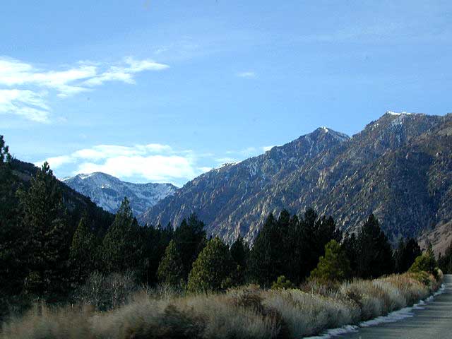
Kern River Maps

Kern River Canyon Recreation Maps
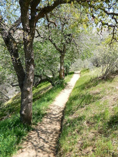
Kern River Maps

Lower Kern River Trail

  • backpacking
  • boulders
  • camping
  • cedar groves
  • fishing
  • fire lookout towers
  • hiking
  • horseback riding
  • hot springs
  • hunting
  • mountain meadows
  • mountain biking
  • off-roading
  • rock climbing
  • sequoia groves
  • wildflowers

hikers map

Unfortunately, The Kern River Sierra Map by Extremeline Productions is no longer in print, as of 2026. No printed maps exist for the Kern River Valley (that we know of).
Kern River Map

Maps of the Kern River Canyon & vicinity:

Southern Sierra Map
Sequoia National Forest USDA Map

Dome Land Wilderness Map USDA
Golden Trout South Sierra Map USDA
Golden Trout Wilderness Map Tom Harrison
Jawbone Canyon, Kelso Valley OHV Map
Pacific Crest Trail Topo Map #3

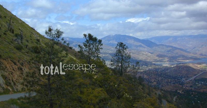
horse trail maps

Kern River Maps

Lake Isabella, from Caliente Bodfish Road

Kern River
Kern Plateau
Shermans Pass Road #22S05
Sierra Back Road Maps

Kern River Maps

Kern River Maps

Kern River Hot Springs


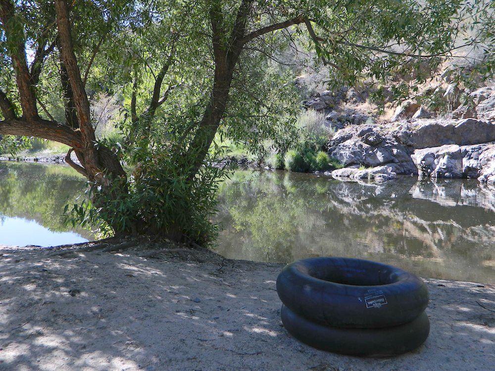
kern tube beaches

nearby towns:

Kern back road destinations:

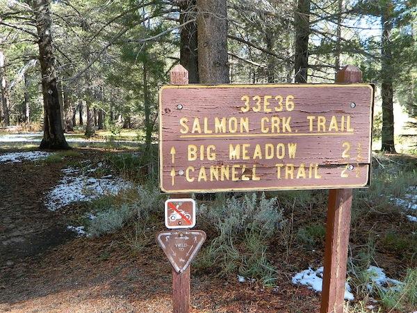
33E36trailhead

rinconcamp

Rincon Camp @ Sherman Pass Road
NatGeo Baja Maps

NatGeo Baja Maps

National Geographic
Baja Maps

NatGeo Baja Maps

  • camp
  • fish
  • hike
  • kayak
  • missions
  • off-road
  • petroglyphs
  • RV
  • scuba
  • surf
  • travel

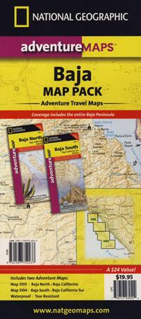
NatGeo Baja Map Pack Bundle

Baja California, North & SouthNatGeo Baja Maps

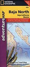
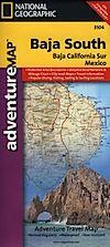
The Baja California Map Set from National Geographic. Includes both maps: Baja Norte & Baja Sur Maps. #3103 & #3104. Topographical features, towns, ranchos, main dirt roads, coves, beaches, fishing spots, surf spots, sailing; beautifully detailed. GPS compatible w/ full UTM grid. Printed on plastic in 2008. Waterproof, tear-resistant. ISBN# 9781597752237

Baja California Mexico, BC MX, Baja Norte, Baja Sur, Baja Maps, Map Set, Bundle, National Geographic Maps

NatGeo Baja Maps

Gonzaga Bay, Baja California

NatGeo Baja Maps

Baja Norte NatGeo Mapbajanorte

Baja California Norte Map / Map of Baja Norte / Baja California

Baja California maps by National Geographic #3103. Baja Norte Map. This map covers the northern portion of Baja California Mexico. Topographical features, towns, ranchos, main dirt roads, coves, beaches, fishing spots, surf spots, sailing; beautifully detailed. GPS compatible w/ full UTM grid. Waterproof, tear-resistant. ISBN# 9781566952439

NatGeo Baja Maps

Guadalupe Canyon Hot Springs, Baja California

driftwood

Baja Sur NatGeo Map bajasur

Baja Road Map / Baja Sur Mexico Map

Baja Sur Map from National Geographic #3104. This map covers the southern portion of Baja California Mexico. Topographical features, towns, ranchos, main dirt roads, coves, beaches, fishing spots, surf spots, sailing; beautifully detailed. GPS compatible w/ full UTM grid. Waterproof, tear-resistant. ISBN# 9781566952446

NatGeo Baja Maps

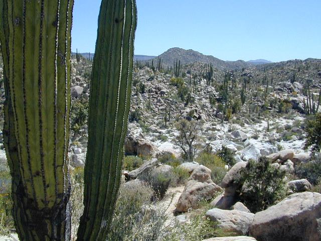
Cacti at Catavina

NatGeo Baja Maps

NatGeo Baja Maps

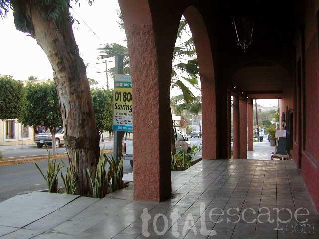
Todos Santos, Baja California Sur

see also – 

Anza Borrego Desert Map
Baja California Almanac
San Diego Backcountry Map

bajarigready

Mineral King Map

Mineral King Map

Mineral King Sequoia Map

Mineral King Hiking Map
by Tom Harrison MapsHiking Topo Map

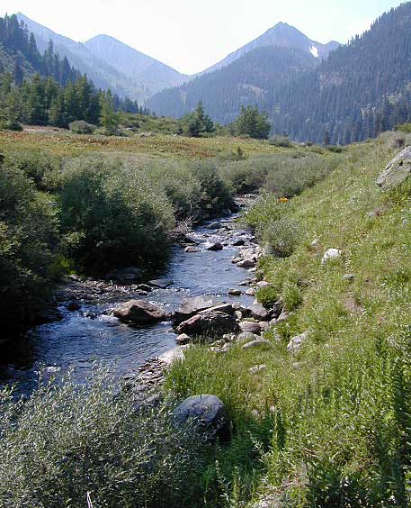
Mineral King Canyon is at the southern end of Sequoia NP, on the western side of the Sierra Nevada mountains.

Sequoia Wilderness Maps
Golden Trout Wilderness
Mineral King Trails

Mineral King Map

OLDER EDITION 2012 MAP

Backpacking, Day Hiking, Lake Fishing, Horsepacking

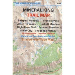
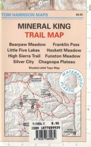
Mineral King Trail Map, Sequoia National Park Hiking Maps, Backpacking Sequoia Mineral King; Area include: Bearpaw Meadow, Franklin Pass, Little Five Lakes, Hockette Meadow, High Sierra Trail, Funston Meadow, Chagoopa Plateau, Atwell Mill Campground, Cold Spring Campground, Silver City California. Three Rivers California; Durable, waterproof plastic map; Folded. Map Scale: 63K; ISBN# 9781877689833

Mineral King Map

REALLY OLD EDITION

Mineral King Sequoia

Mineral King Valley is inside the southern portion of SEQUOIA NATIONAL PARK. Mountain passes access high Sierra terrain (only by foot trail) w/ Sequoia National Park, Kings Canyon Highcountry and Golden Trout Wilderness.

camp mapsThe paved road access into this canyon (Mineral King Road) does become a dirt road for a few miles, about half way in. Pavement resumes and continues to the end – where the trailhead parking and campground is situated. Numerous creeks flow through this mountain region.

Mineral King Topo

backpacking & campground camping –

This spectacular mountain setting is quite different from the rest of the Sequoia National Park. Backpackers can arrive late and sleep at the walk-in camps of Cold Springs Campground.

Access to high elevation trailheads; alpine lakes and Golden Trout Wilderness Area. Day hikes, horseback rides, fishing, mountaineering routes are plentiful.

However, bears and marmots are a problem here. Store food in the steel bear boxes provided. Marmots will eat radiator hoses and chew wiring inside your vehicle. Bring a roll of chicken wire to wrap your automobile, if you plan to leave it unattended for any amount of time.

Additionally, evening ranger programs are presented in summer months.
Mineral King Map

Mineral King Camping

Walk-in Camps @
Cold Springs Campground

Mineral King Map
nearby destinations:

see also –fishing map
Golden Trout Wilderness Map
Kings Canyon Highcountry Map
Sequoia / Kings National Park Maps
Sequoia National Forest Map
Sequoia Kings Recreation Map
Sequoia Books

Mono Lake Map

Mono Lake Map

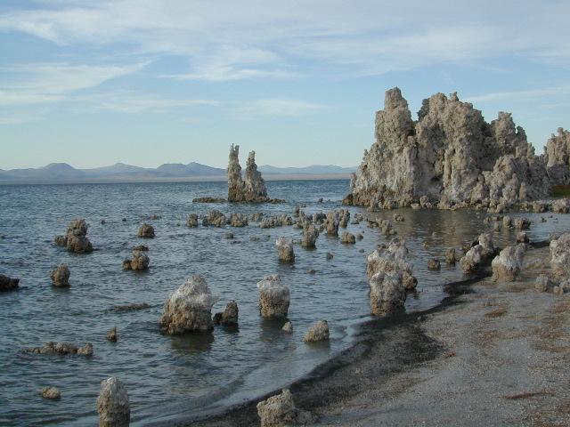
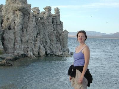
Tufa Towers at Navy Beach, Mono Lake


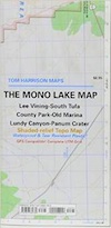
The Mono Lake Topo Map
Mono Lake Topo Map

US 395 @ Mono Lake, Lee Vining & Lundy Canyon

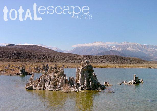
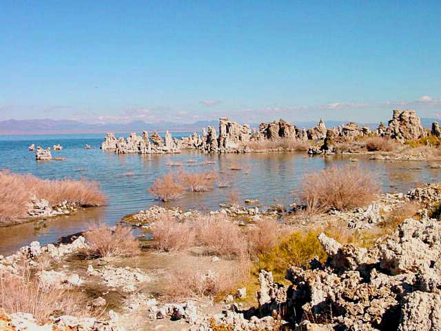
Lunar looking Mono Lake is one of the most popular destinations in the Eastern Sierra region. Void of trees around the shoreline, it makes for an interesting high desert landscape. Tom Harrison is the only topographic map that has all of Mono Lake on one sheet.

Eastern Sierra Lee Vining Trail Map, Lee Vining Canyon South; Areas covered: Lee Vining Hiking, South Tufa Mono Lake, County Park Old Marina, Lundy Canyon, Lundy Topo, Panum Crater.

Durable, waterproof plastic map; Folded. Map Scale: 63K; ISBN# 9781877689789

Mono Lake California 

Mono Lake Map


Super What?

The basin was formed by geological forces over the last five million years: basin and range crustal stretching and associated volcanism and faulting at the base of the Sierra Nevada.

Some say that Mono Lake is an ancient, super volcano from eons ago, but we do know that it is a saline soda lake in Mono County, California – formed at least 760,000 years ago as a terminal lake in an endorheic basin. The lack of an outlet causes high levels of salts to accumulate in the lake and make its water alkaline.

The high desert lake has an unusually productive ecosystem based on brine shrimp, which thrive in its waters, and provides critical habitat for two million annual migratory birds that feed on the shrimp and alkali flies.

DWP: Dept of Water & Power

When the city of Los Angeles diverted water from the freshwater streams flowing into the lake, it lowered the lake level, which imperiled the migratory birds. The Mono Lake Committee formed in response and won a legal battle that forced Los Angeles to partially replenish the lake level.

Dissolved salts in the runoff thus remain in the lake and raise the water’s pH levels and salt concentration. The tributaries of Mono Lake include Lee Vining Creek, Rush Creek and Mill Creek which flows through Lundy Canyon.


nearby destinations:

Mono Lake Map

see also –
Ansel Adams Wilderness Map
Bodie Hills Map
Mammoth Lakes Map NatGeo
Toiyabe National Forest Map USDA
Yosemite Highcountry Map

Mono Lake Map


Lundy Canyon
Lundy Lake California