Bishop Pass Map

Bishop Pass Topo Map

Bishop Hiking Eastern Sierra

  • North Lake – 9500′ elev
  • Piute Pass – 11,423′
  • Lake Sabrina – 9132′
  • South Lake – 9755′

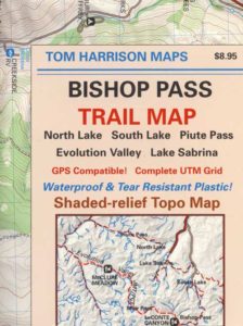
Bishop Pass Trail Map
Tom Harrison

Bishop, CA – located along US Hwy 395 is a hub for travelers and locals alike, in the high desert valley next to the Eastern Sierra range.

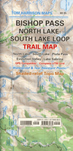
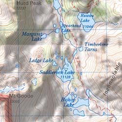
Tom Harrison Trail Map: Bishop Pass Maps, Backpacking Bishop CA; North Lake & South Lake Loop, Evolution Valley. PCT, John Muir Wilderness, LeConte Divide, Inyo National Forest, Inyo High Country, Sierra High Country; Sierra Nevada Passes; Hiking near Mount Whitney Backpacking Trip, california sierra camping; Durable, waterproof plastic map; Folded. Map Scale: 48K; ISBN# 9781877689680
Bishop Pass Map

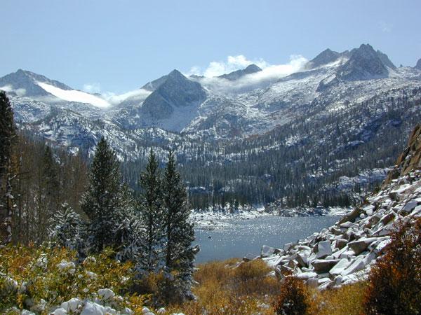
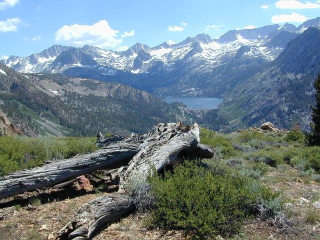
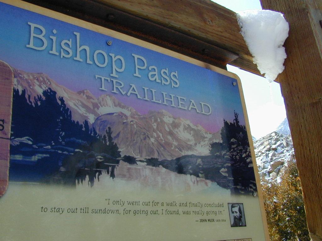
Bishop Pass @ 11,972′ elevation is a high mountain pass in the southern Sierra Nevada, California, on the border of the Inyo National Forest. John Muir Wilderness is located to the north and Kings Canyon National Park to the south. The Bishop Pass

Connecting the Bishop Creek valley with the John Muir Trail & Pacific Crest Trail. Bishop Pass is located west of Mount Agassiz, surrounded by multiple alpine lakes in the Dusy Basin and the Bishop Lake basin.
Bishop Pass Map

High Sierra backcountry access to –

Bishop Pass Map

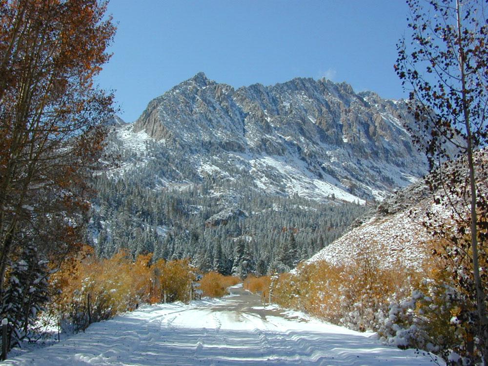
South Lake, above Bishop, California

see also –

Bishop Pass Map

previous edition

Bishop Pass Map

Piute Pass Hiking

Piute Pass & Piute Crags near North Lake
Bishop Pass Map

OLDER EDITION

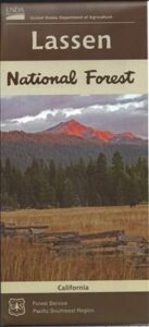
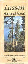
Lassen National Forest Map

Lassen NF Map USDA

USDA Lassen Map

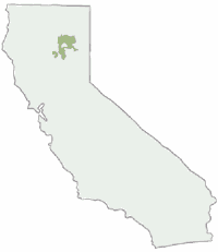
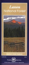
lassen mapsLassen National Forest Map includes all of Lassen Volcanic National Park too.
NFS – USDA – U.S. Forest Service – USGS

Lassen National Forest
Lassen National Park
Lassen Camping

Lassen National Forest Map: Lassen National Forest surrounds Lassen Volcanic National Park. Quality USDA maps, National Forest Service. Lassen National Park, Lake Almanor, Susanville, Fall River Mills, Burney Falls, Juniper Lake, Drakesbad Ranch, Bucks Lake Wilderness Ranger Map – NFS issued map. GPS: Longitude & Latitude; Rivers, Creeks, Peaks, Elevations, 4WD and every dirt BackRoad, Hot Springs, Equestrian Areas, all Campgrounds, Hiking Trails and BackPacking Trailheads.

Areas include: Northern California, Butte County, Tehama County, Shasta County, Plumas County, Lassen County, Burney, Ahjumawi Lava Springs State Park, Thousand Lakes Wilderness, Manzanita Lake, Mineral, Shingletown, Ponderosa Sky Ranch, Hwy. 89, Hwy. 36, Lassen Volcanic Peak, Stover Mountain, as well as the Feather River.

Lassen National Forest

PREVIOUS VERSION

Lassen National Forest Maps

Lassen Map USDA

OLDER VERSION

Lassen National Forest Map

REALLY OLD EDITION

Lassen National Forest Map

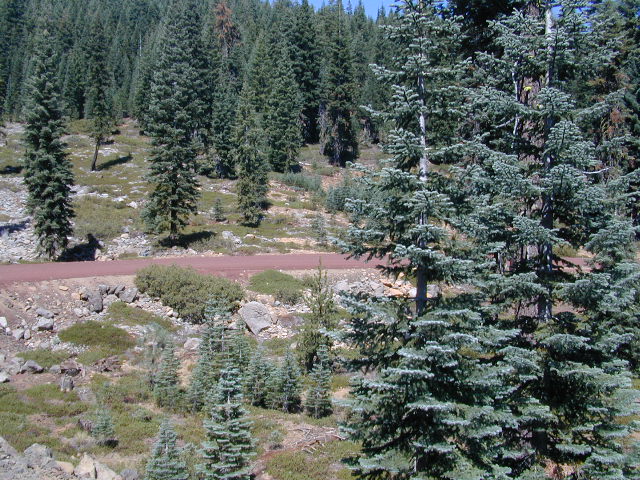
Many graded dirt roads lead out to trailheads, secluded lakes, hidden campsites.

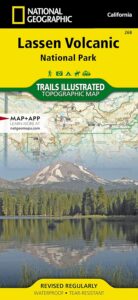
As of 2019, National Geographic also makes a waterproof map for the Lassen Peak region. Over 150 miles of trails including 17 miles of the Pacific Crest Trail and a portion of the California National Historic Trail are clearly marked and include approximate mileage between intersections and trail use designations. A chart of campgrounds, their elevations, the number of sites, and the facilities available at each will help you choose the one that’s right for you.

NatGeo Lassen MapNATGEO MAP: Interpretive information regarding the area’s unique geology and descriptions of the important hydrothermal areas are also included. The map base shows contour lines and elevations for summits, passes and many lakes. A variety of recreation features are noted as well, including campgrounds, trailheads, picnic areas, boat launches, cabins, and scenic viewpoints.

Lassen National Forest Maps

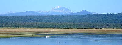
Lassen Peak from Lake Almanor


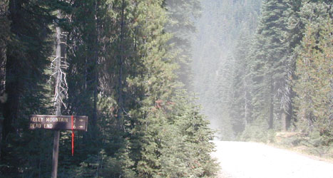
Remote Roads

Graded Dirt Roads

Lassen National Forest

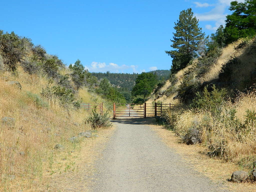
bikepath susanville

Bizz Johnson Trail, Susanville

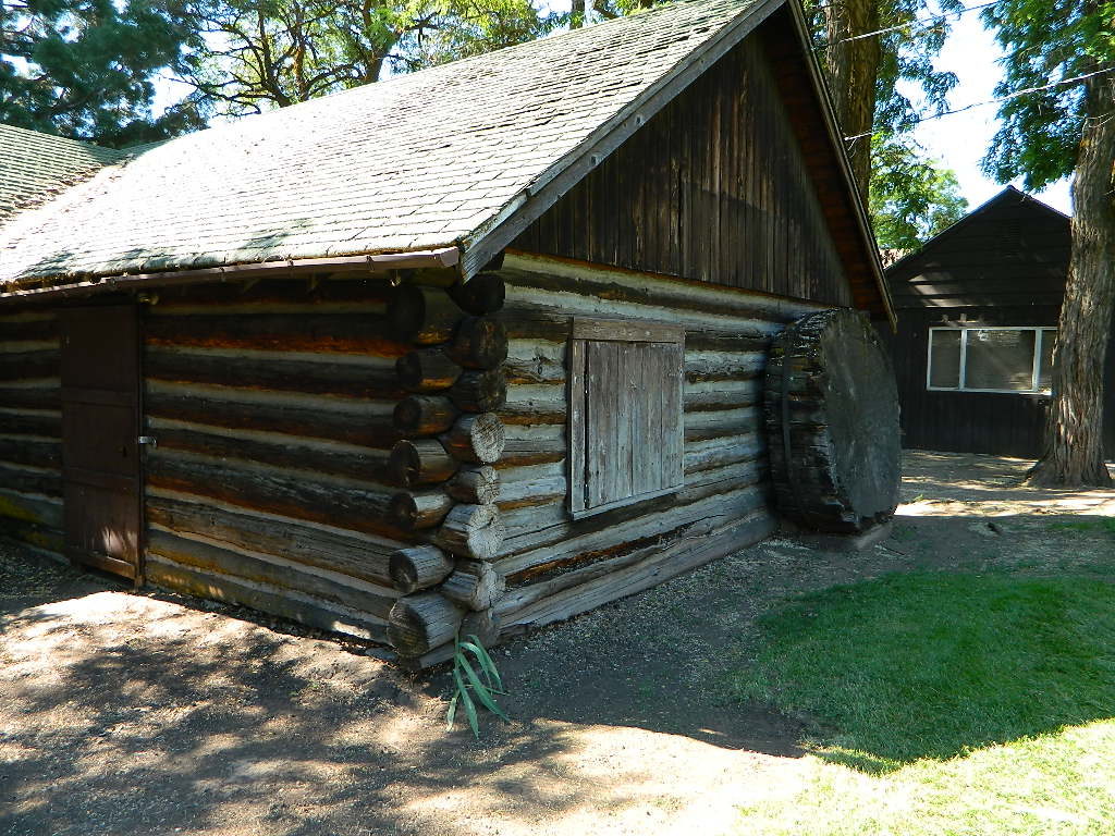
loghomehistoric

Historic Log Home: Downtown Susanville, CA

hiker

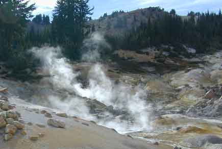
Sulfur Steam Lassen Park

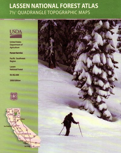
Seeking a detailed topographic maps of every square mile of Lassen territory? Then the Lassen Forest Topo Atlas is a book to discover.

lassen atlas

Lassen Topographic Atlas


Lassen National Forest Map

Eagle Lake, N of Susanville

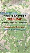
Devils Postpile Trail Map

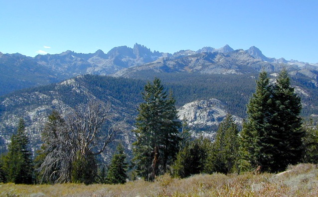
minarets

Minarets @ Mammoth

Devils Postpile Map
Tom Harrison

devils postpile trail map
Devils Postpile National Monument
Minarets @ Mammoth Lakes
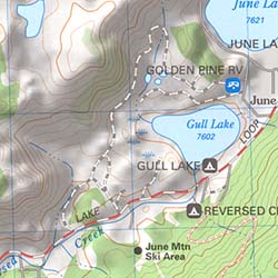
June Lake Loop
Eastern Sierra Mountains

Tom Harrison Trail Map: Devils Postpile CA; Mammoth Lakes Area, Eastern Sierra Hikes; Cool California Geology, Camping Sierra Nevada mountains. Areas Include: Gem Lake, Minarets Hiking Trails, Rainbow Falls, Garnet Lake, Ritter Range, June Mountain, Mammoth Minarets, Agnew Meadows, Thousand Island Lake; Mammoth Lakes, Mammoth Hiking Backpacking Mammoth Lakes. Mammoth Trail Maps, Tom Harrison Topo Map Mammoth Hikes, Mammoth Mountains, Topo, Waterproof, Topographic Maps.

Durable, waterproof plastic map; Folded. Map Scale: 40K; Tom Harrison brand ISBN# 9781877689673

fishing map

Devils Postpile Trail Map

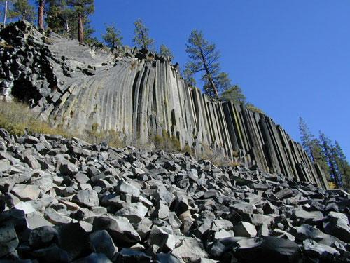
Post Piles @ Mammoth

Devils Postpile Map

PREVIOUS EDITION MAP

hike mammoth

the details

Inyo National Forest
Sierra National Forest
Ansel Adams Wilderness

old maps

REAL OLD MAP

nearby towns –hikers map

see also –
Mammoth Highcountry Trail Map
Mammoth Lakes Map NatGeo
Mono Divide Highcountry Map

Ansel Adams Topo Map

Devils Postpile Trail Map

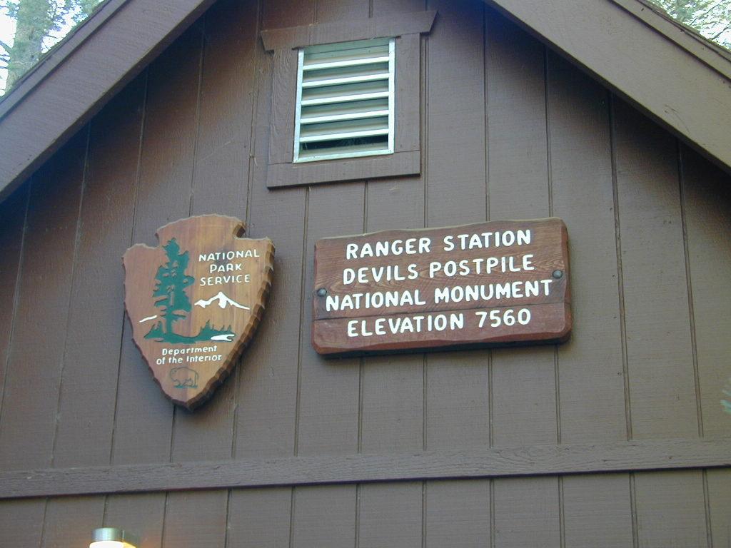
NPS Ranger Station


Devils Postpile Trail Map

Trailheads @ Devils Post Pile National Monument

Sequoia National Forest Map

Sequoia Mapssierra redwoods map

NFS – USDA – U.S. Forest Service

Sequoia National Forest Map

Kern River Canyon, Upper Kern, Lower Kern, Kern Plateau, Western Divide Highway, The Needles, Mountain Home SF, Sequoia National Park, Kings Canyon NP

River Raft Launch Spots, All Creeks, Peaks, Elevations, 4WD & every dirt Back Road, Hot Springs, Equestrian Areas, all Campgrounds, Hiking Trails & Backpacking Trailheads.
Sequoia Forest Maps
Areas include: Southern Sierra, Giant Sequoia, Western Divide Highway, Kern Canyon, Hwy. 178, Walker Pass, Kernville, Lake Isabella, Sugarloaf, Domelands, Kern River, Kennedy Mdws, Sherman’s Pass, Monache Mdws, South Sierras, Rincon, Canebrake, Dome Rock, The Needles, Western Divide, Ponderosa, Springville, Tule River, Jennie Lakes Wilderness, Golden Trout Wilderness, surrounding areas to Kings Canyon & Sequoia National Park, Miracle, Democrat, California Hot Springs.

Map Size: 28″x 54″ overall / 4″x9″ folded; Printed on waterproof plastic in 2011. ISBN# 9781593515096


sequoia grove map

USDA map

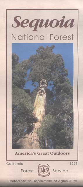
1998 Sequoia NF Map

Sequoia National Forest Maps
previous versions of this map:

Giant Sequoia Map

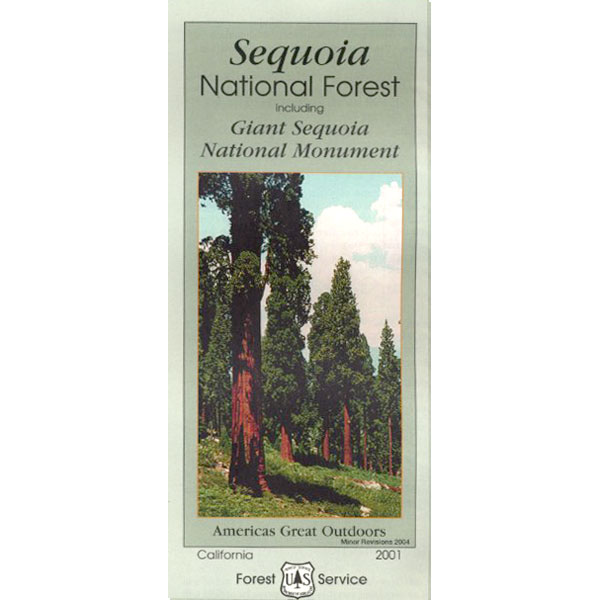
2001 Giant Sequoia Map USDA

see also –
Sequoia Forest Topo Atlas
Sequoia National Park Maps
Mineral King Map
Dome Land Wilderness Map
Southern Sierra Wilderness Map
Golden Trout Wilderness Maps
Kern Recreation Map

Best Kern River Camping, Western Divide Giant Sequoia, Southern Sierra Nevada Mountains

topo maps south sierra

2022: Recent wildfires have taken a huge toll on the Sequoia groves of the Western Divide (Southern Sierra) and ancient groves inside the National Parks (Central Sierra). Forests all around Alta Sierra, California were burnt, as well as the paved route to Jerky Meadows.  Campgrounds could be closed, dirt roads gated and locked; hiking trails off limits. Visit the Sequoia National Forest web site for up-to-date info regarding closures.

horse trail maps

Sequoia & Kern River Links

Big Meadow Sequoia
Dispersed Camping Sequoia 
Kern Flats Free Camping
Kern River Campgrounds
Kern River Camping
Kern River Canyon
Kern River Hot Springs
Lloyds Meadow Rd
Sequoia NF Camping
Sequoia OHV
Trail of 100 Giants Grove
Mountain Home State Forest

SequoiaSUV

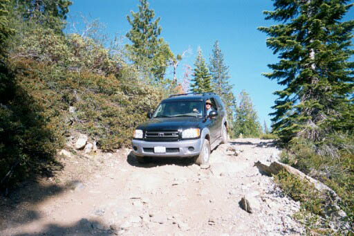
Toyota Sequoia SUV 4×4

Kern River Camping, Giant Sequoia Park:

Sequoia National Forest

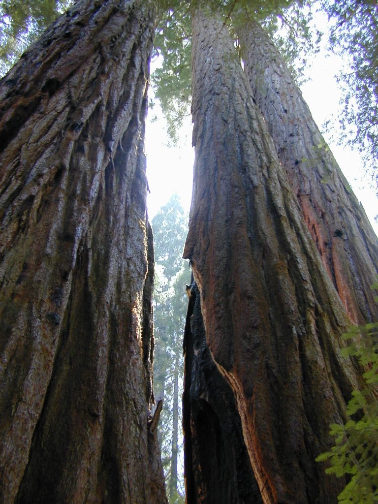
Giant Sequoia Pair

Giant Sequoia Pair