Ansel Adams Wilderness Books

Find Ansel Adams Wilderness Maps

"<yoastmark

Ansel Adams Wilderness Books

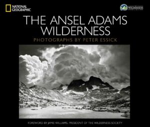
Nat Geo Book

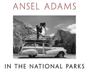
National Parks Book

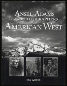
American West

Ansel Adams Wilderness Books

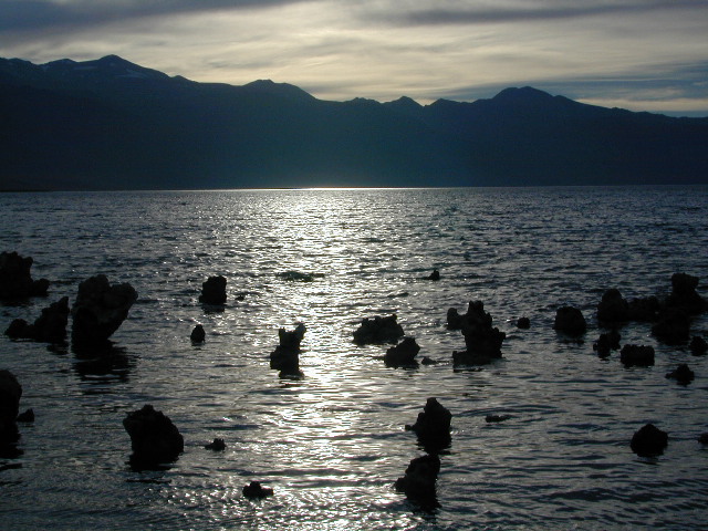
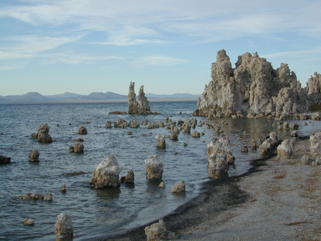
Mono Lake at Sunset

The Ansel Adams Wilderness is a wilderness area in the Sierra Nevada of California, United States. The wilderness spans 231,533 acres – much of which is located inside the Inyo and Sierra National Forests, and the remaining acres covers nearly all of Devils Postpile National Monument. Yosemite National Park lies to the north and northwest, while the John Muir Wilderness lies to the south.

The wilderness was established as part of the original Wilderness Act in 1964 as the Minarets Wilderness. The 109,500-acre Minarets Wilderness was created by enlarging and renaming the Mount Dana-Minarets Primitive Area. In 1984, after his death, the area was expanded and renamed in memory of Ansel Adams, well-known environmentalist and nature photographer who is famous for his black-and-white landscape photographs of the Sierra Nevada.

The Ansel Adams wilderness spans in elevation from 3,500 to 13,157 feet, forming the northern end of the High Sierra. The centerpiece of the Ansel Adams wilderness is the Ritter Range, which includes dark meta-volcanic glaciated mountains such as Mount Ritter, Banner Peak, and The Minarets.

Immediately to the east of the Ritter Range is the Middle Fork of the San Joaquin River, which contains Devils Postpile, a series of basaltic columns that were revealed and smoothed by glacier action. The Middle Fork originates from Thousand Island Lake, at the foot of Banner Peak, one of the largest backcountry lakes in the Sierra.

To the east of the Middle Fork canyon is the true Sierra Crest, which, at roughly 10,000 feet of elevation is lower than the Ritter Range. This relatively low region of the Crest allows winter storms through and cause large amounts of snowfall on Mammoth Mountain, which sits in the gap. The gap also allows migration of plants and animals across the Sierra Crest.

To the west of the Ritter Range lies the canyon of the North Fork of the San Joaquin, a relatively remote and less visited high-country area. The southern part of the wilderness contains the 3,000 feet deep canyon of the main San Joaquin River, which flows out of the Sierra Nevada to California’s Central Valley.
Ansel Adams Wilderness Books

Yosemite High Country Map

Yosemite High Country Map
by Tom Harrison Maps

Yosemite High Country

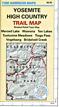
Yosemite High Country Map. Topographic; Backpacking Yosemite Backcountry, Topo Maps of Yosemite National Park Highcountry, Camping Yosemite Park Hiking Trails.

HIGH SIERRA LOOP
TOPO MAP YOSEMITE

Durable, waterproof plastic map; Folded. Map Scale: 63K; ISBN# 9781877689581

Explore the Yosemite high elevation back country with this detailed topographic map, which gives contour lines, trails and information for campers, hikers, and outdoor enthusiasts. GPS compatible w/ complete UTM grid. Beautifully designed over the USGS topographic quads, enhanced with shaded relief.

Includes these areas: Merced Lake, Wawona, Ten Lakes, Tuolumne Meadows, Tioga Pass, Vogelsang, Bridalveil Creek

Yosemite Maps

OLD EDITION

Yosemite Mapdownload digital version of this map –
Yosemite High Country Map

Yosemite backcountry Map

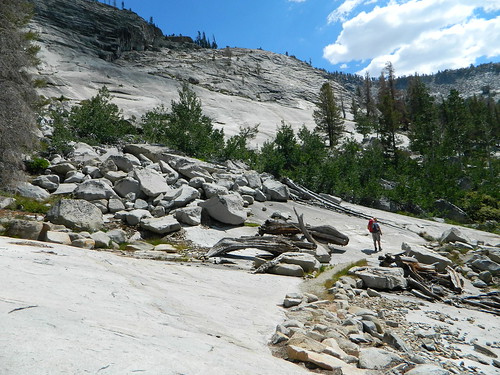
Granite slopes trail hike to Merced Lake

Highest peak in Yosemite National Park with the best granite scenery and alpine lakes, forests, wildlife and of course, epic views around every bend. Horseback or hiking trails are the only way to enjoy this amazing place. But please remember that it is often buried in deep snow more than half the year, so you only get a few months (summer) to enjoy this landscape and hike the best trails in the Sierra.

hikers map

Yosemite Topo Map

CLICK TO ENLARGE

Yosemite High Country Map

ALPINE LAKES, Yosemite National Park

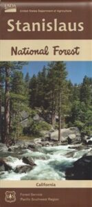
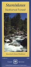
Stanislaus National Forest Map

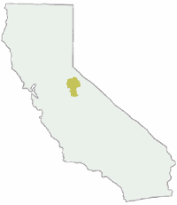
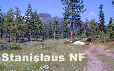
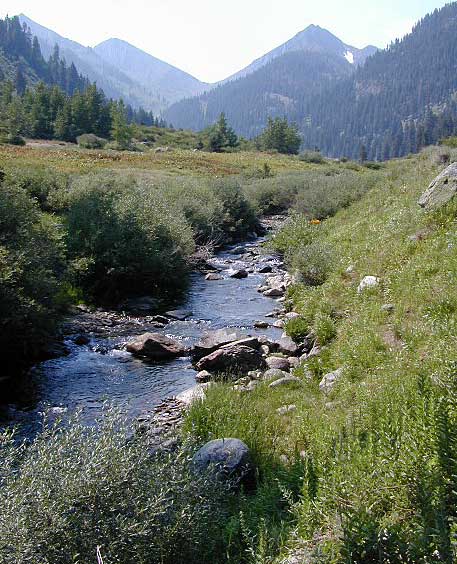
hiking trail mapExplore more of the Central Sierra Nevada Mountains with the Stanislaus National Forest Map, which covers forests on both sides of Highway 108, Sonora Pass. Gold Country foothills give way to wilderness peaks and secluded streams. California gets some serious snow up in this high country, so most areas are only accessible half the year. Plan accordingly.

stanislaus USDA

Sonora Pass Map

Stanislaus Forest Camping / Sonora Pass / Stanislaus River
Stanislaus Sonora Maps

CA 108 Stanislaus. Stanislaus Map. Calaveras, Northwest Yosemite, Spicer Reservoir, Union, Utica Lakes, Dodge Ridge, Bear Valley Ski, Lake Alpine, Hetch Hetchy

Stanislaus National Forest Map

WATERPROOF PLASTIC MAP; water & tear resistant. Ranger Map – NFS issued map. GPS: Longitude & Latitude; Rivers, Lakes, Reservoirs, Creeks, Mountain Peaks, Elevations, 4WD routes and every dirt Back Road. Furthermore this map features Equestrian Areas, all Campgrounds, Picnic Grounds, Sierra Viewpoints, in addition to Hiking Trails & BackPacking Trailheads.

fishing map

Areas include: Gold Country California, Stanislaus County, Northwest Yosemite, Columbia, Sonora, Groveland, Twain Harte, Calaveras Big Trees, Hathaway Pines, Carson Iceberg Wilderness, Mokelumne Wilderness, Emigrant Wilderness, Cherry Lake, Pinecrest Lake, Spicer Reservoir, Donnell Lake, Tuolumne River, Merced River, Dodge Ridge, Bear Valley Ski, Lake Alpine, Hetch Hetchy, Union Lake, Utica Reservoir, Salt Springs Reservoir, Beardsley Lake, State Game Refuge, Mi-Wuk Village.

USDA Map Stanislaus

OLDER VERSION

see also

Carson Iceberg Wilderness Map
Emigrant Wilderness Map
Fishing Maps for California
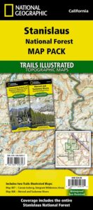
Merced and Tuolumne Rivers Map
Stanislaus Forest Topo Atlas

Sonora Pass Camping Maps

stanislauspak

Stanislaus National Forest Map and Sonora Pass: Backpacking, Camping, Fishing, Hiking, Kayaking, Off Roading, Stargazing and Rock Climbing

Gold Country California

Stanislaus National Forest
Stanislaus River

nearby towns:stanislaus horseback trail map

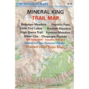
Mineral King Map

Mineral King Map

Mineral King Hiking Map
by Tom Harrison MapsHiking Topo Map

Mineral King Canyon is at the southern end of Sequoia NP, on the western side of the Sierra Nevada mountains.

Sequoia Wilderness Maps
Golden Trout Wilderness
Mineral King Trails

Mineral King Map

OLDER EDITION 2012 MAP

Backpacking, Day Hiking, Lake Fishing, Horsepacking

Mineral King Trail Map, Sequoia National Park Hiking Maps, Backpacking Sequoia Mineral King; Area include: Bearpaw Meadow, Franklin Pass, Little Five Lakes, Hockette Meadow, High Sierra Trail, Funston Meadow, Chagoopa Plateau, Atwell Mill Campground, Cold Spring Campground, Silver City California. Three Rivers California; Durable, waterproof plastic map; Folded. Map Scale: 63K; ISBN# 9781877689833

digital mapsdownload digital version of this map
Mineral King Topo Map

Mineral King Map

REALLY OLD EDITION

Mineral King Sequoia

Mineral King Valley is inside the southern portion of SEQUOIA NATIONAL PARK. Mountain passes access high Sierra terrain (only by foot trail) w/ Sequoia National Park, Kings Canyon Highcountry and Golden Trout Wilderness.

camp mapsThe paved road access into this canyon (Mineral King Road) does become a dirt road for a few miles, about half way in. Pavement resumes and continues to the end – where the trailhead parking and campground is situated. Numerous creeks flow through this mountain region.

Mineral King Topo

backpacking & campground camping –

This spectacular mountain setting is quite different from the rest of the Sequoia National Park. Backpackers can arrive late and sleep at the walk-in camps of Cold Springs Campground.

Access to high elevation trailheads; alpine lakes and Golden Trout Wilderness Area. Day hikes, horseback rides, fishing, mountaineering routes are plentiful.

However, bears and marmots are a problem here. Store food in the steel bear boxes provided. Marmots will eat radiator hoses and chew wiring inside your vehicle. Bring a roll of chicken wire to wrap your automobile, if you plan to leave it unattended for any amount of time.

Additionally, evening ranger programs are presented in summer months.
Mineral King Map

Mineral King Camping

Walk-in Camps @
Cold Springs Campground

Mineral King Map
nearby destinations:

see also –fishing map
Golden Trout Wilderness Map
Kings Canyon Highcountry Map
Sequoia / Kings National Park Maps
Sequoia National Forest Map
Sequoia Kings Recreation Map
Sequoia Books