Detailed Map of Baja Mexico
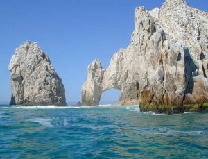
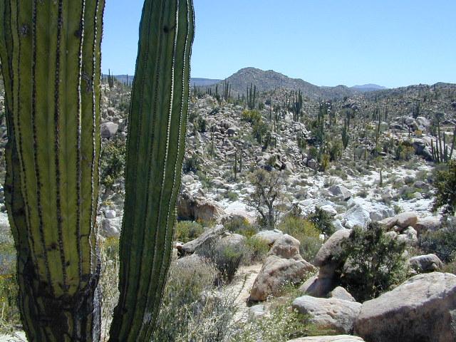
Baja California MX
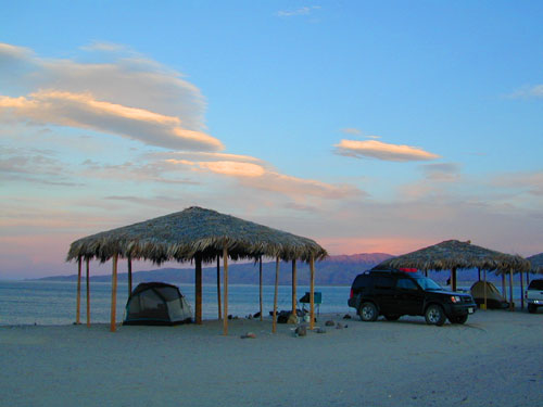
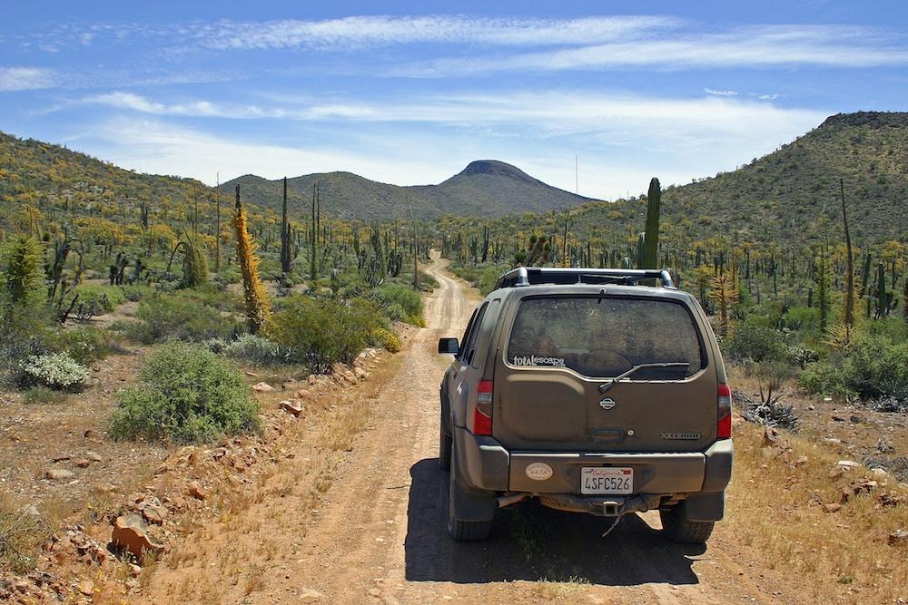
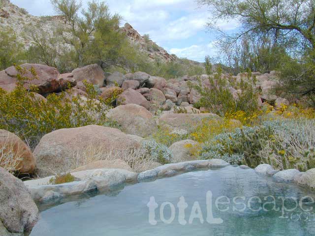
Camping Gonzaga Bay
2021 – New MAP for Baja!!!
Benchmark Baja California
Road & Recreation Atlas

Release date MAY 2021 – announcing a brand new atlas for Baja California, created by none-other than Benchmark Maps.

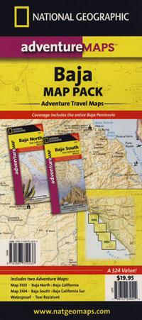
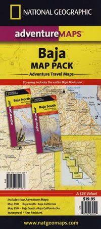
National Geographic has Adventure Maps for Baja California
full color, 2 sided, waterproof, tear resistant, topographic maps
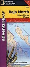
NatGeo Baja Map NORTH
(Baja Norte)

This travel map covers from San Diego down to Bay of LA. Norte map covers the US/Mexico border from Tijuana to Mexicali, including border crossings, as well as Ensenada & Tecate. Inset maps give extensive detail to these areas: The southern side shows Valle de los Cirios, Bahia de los Angeles, Native Rock Paintings of the Sierra de San Francisco and Whale Sanctuary of El Vizcaino.

OLDER VERSION
![]()
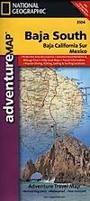
NatGeo Baja Map SOUTH
(Baja Sur)
The sparsely populated southern half of the peninsula has some of the Gulf of California Islands. The southern side covers the state capital La Paz, Cabo San Lucas, San Jose del Cabo, and Todos Santos. Inset maps give extensive detail to some of these popular areas.

OLDER VERSION
![]()

Dining Out in Baja
National Geographic Adventure Map Pack
Baja California 2 Map Set

OLDER EDITION
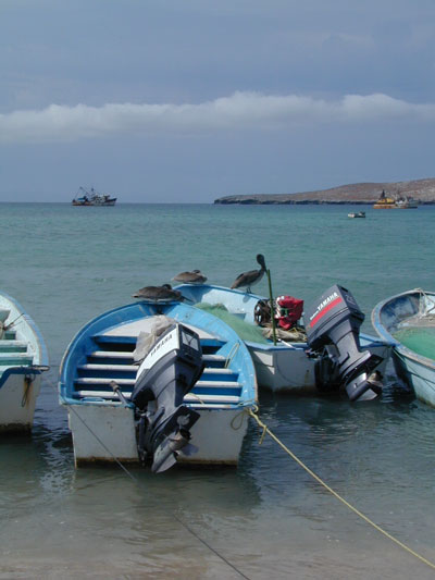
La Paz Coast Baja – Sea of Cortez
see also –