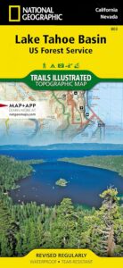
Tahoe Forest Map

Tahoe Maps / Lake Tahoe California
USGS map California: Tahoe Map. Lake Tahoe Camping. Sierra Nevada Lakes, Sierra Mountains
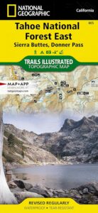
Tahoe Maps. Quality USDA maps created for the National Forest Service. Tahoe California Map. Tahoe Area Map. Northern Sierra, Sierraville, Truckee, Stampede Reservoir, Granite Chief Wilderness
GPS: Longitude & Latitude; Rivers, Creeks, Peaks, Elevations, 4WD & every dirt BackRoad, Hot Springs, Equestrian Areas, all Campgrounds, Hiking Trails & BackPacking Trailheads. WATERPROOF MAP. Ranger Map – NFS issued map. ISBN# 9781593514419
Areas include: Northern Sierra, Sierraville, Truckee, Stampede Reservoir, Granite Chief Wilderness, North Lake Tahoe, Hell Hole Reservoir, French Meadows Reservoir, Sugar Pine Reservoir, Donner Lake, Jackson Meadow Reservoir, Bowman Lake, New Bullards Reservoir, Downieville, Highway 49, Gold Country.
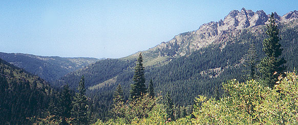
Sierra Buttes, Yuba River Headwaters
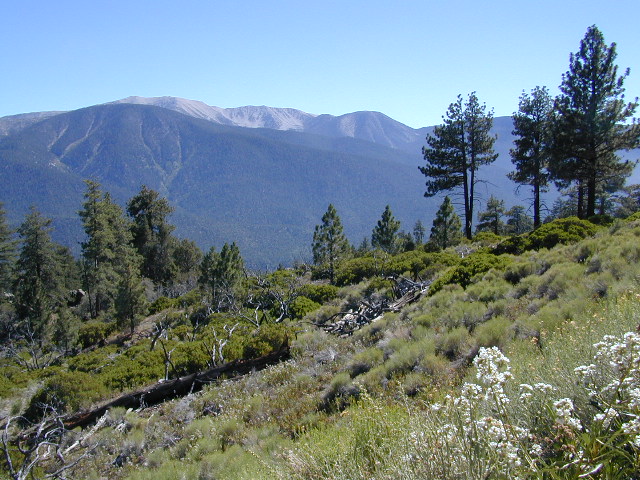
Northern Sierra Nevada Mountains: Tahoe National Forest
North Bloomfield, Malakoff Diggins
Rivers in this Region:
- Bear River
- American River
- Rubicon River
- Truckee River
- Yuba River
Wilderness Areas nearby:
Desolation Wilderness
Granite Chief Wilderness
Mount Rose Wilderness
Camping & Hiking Lakes in the North Sierra:
- Lake Faucherie
- Sawmill Lake
- Canyon Creek Campground
- Bowman Lake
- Carr Lake
- Lindsey Lakes
- Jackson Meadows Reservoir
- Webber Lake
- Independence Lake
- Sardine Lake
- New Bullards Bar Reservoir
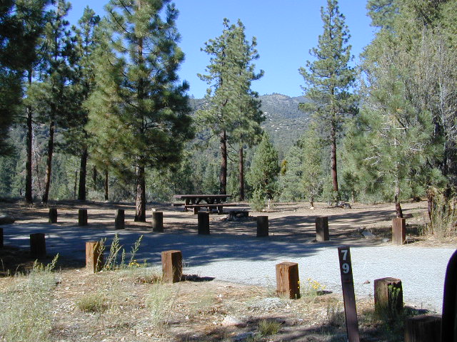
- Lake Tahoe Campgrounds
nearby towns:
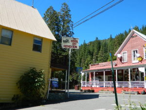
Sierra City, CA
- DOWNIEVILLE
- GRASS VALLEY
- NEVADA CITY
- SIERRA CITY
- SIERRAVILLE
- SOUTH LAKE TAHOE
- TAHOMA
- TAHOE CITY
- TRUCKEE
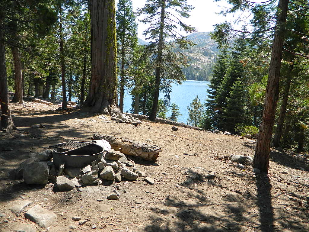
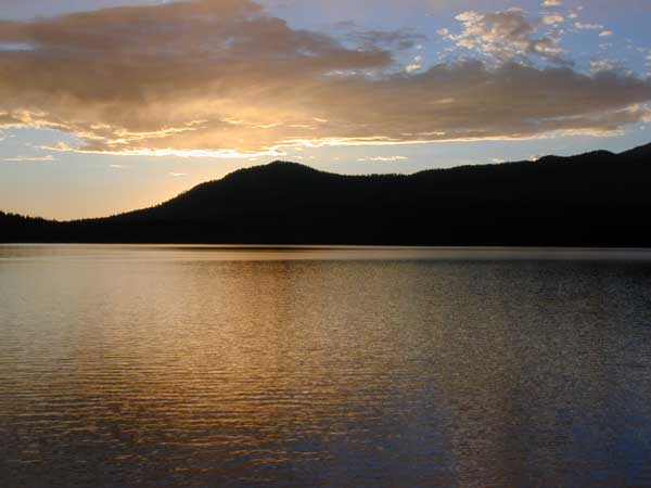
Sawmill Lake, near Donner Pass
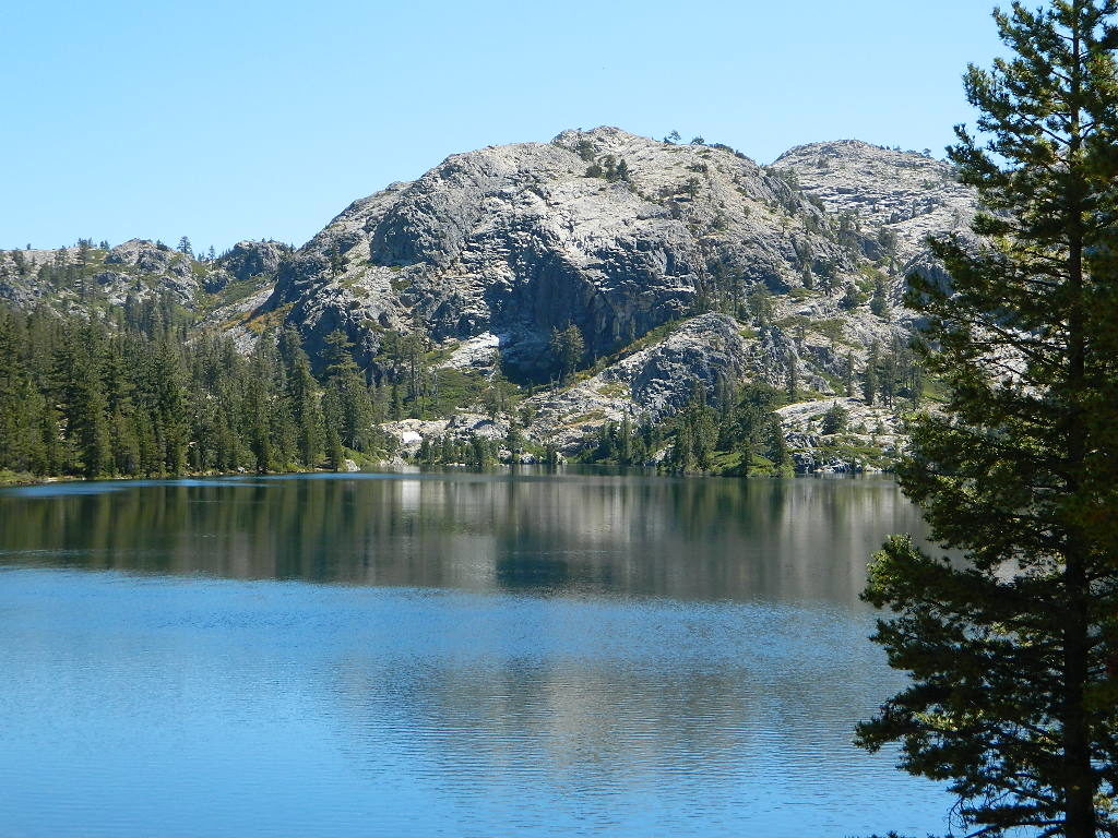
Lake Faucherie, near Donner Pass
find more Tahoe maps –
Lake Tahoe Basin Atlas
4×4 Guide Tahoe NF
Sierra Buttes Map
South Yuba River Map
Lake Basin Map